East Kirkshotts Plantation

Wood, Forest in East Lothian

Scotland

East Kirkshotts Plantation

Ford between Spott and Halls
Ford between Spott and Halls Credit: Andrew Smith

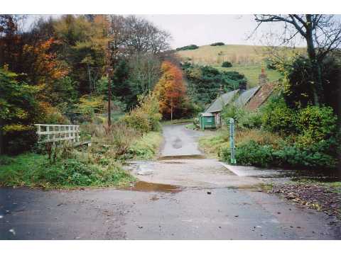
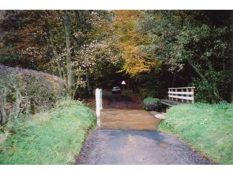
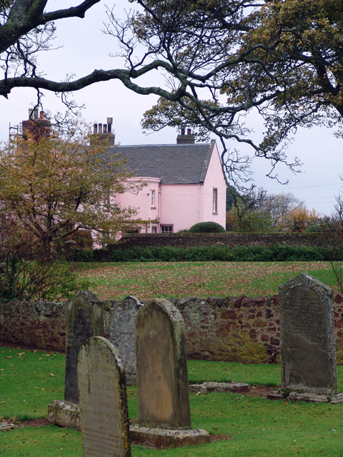
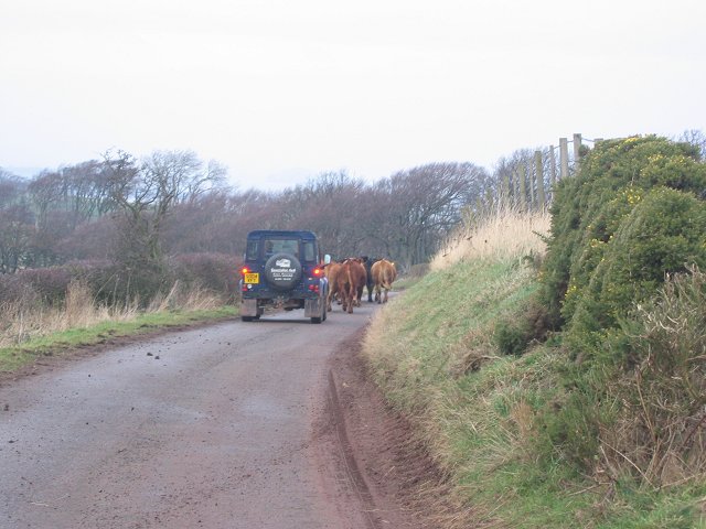
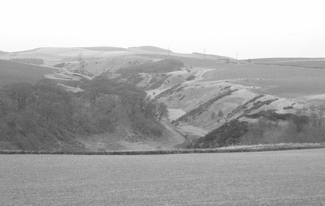
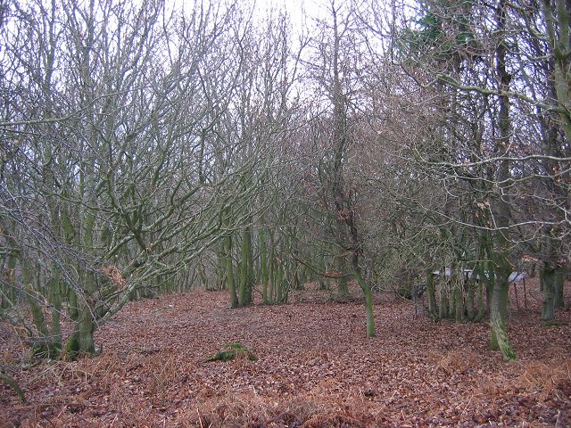
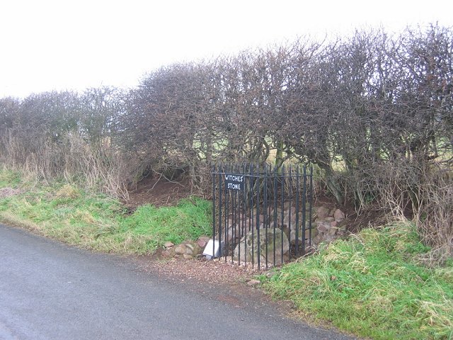
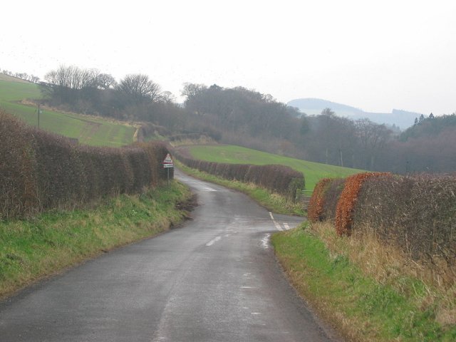
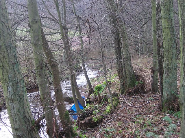
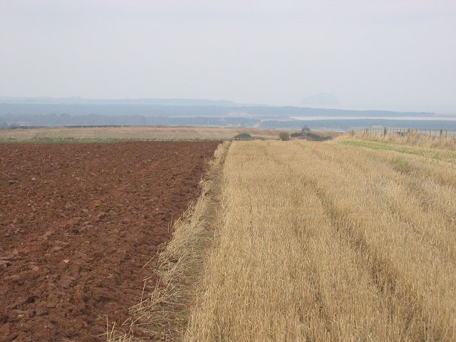
East Kirkshotts Plantation is a sprawling woodland located in East Lothian, Scotland. Stretching across an area of approximately 200 acres, it is a picturesque forest that offers a serene and tranquil environment for visitors to explore.

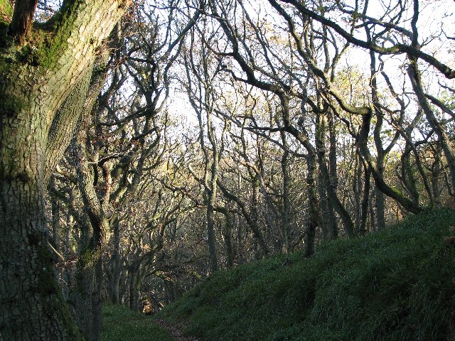
The plantation is characterized by a diverse range of tree species, including oak, beech, birch, and conifers. These trees form a dense canopy overhead, providing shade and shelter to the flora and fauna that call this woodland home. The forest floor is adorned with a rich carpet of mosses, ferns, and wildflowers, adding to its natural beauty.

Trails wind their way through the plantation, offering visitors the opportunity to immerse themselves in nature and enjoy the peaceful surroundings. These paths are well-maintained and accessible, making it easy for hikers, joggers, and nature enthusiasts to navigate through the woodland.

East Kirkshotts Plantation is also a haven for wildlife. Birdwatchers will delight in the various species that inhabit the area, including woodpeckers, thrushes, and owls. Squirrels can be spotted scurrying between the trees, while deer and rabbits occasionally make appearances.

The woodland is open to the public and is a popular destination for outdoor recreation. Visitors can engage in activities such as picnicking, wildlife spotting, and photography. The plantation's natural beauty and tranquil atmosphere make it an ideal location for those seeking a peaceful retreat or a leisurely stroll amidst nature.

If you have any feedback on the listing, please let us know in the comments section below.

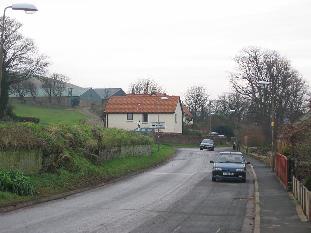
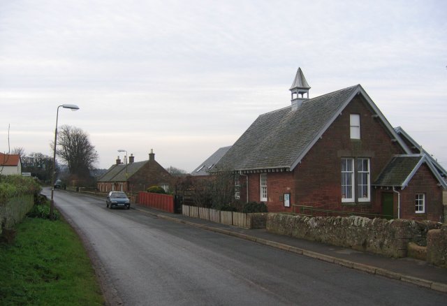
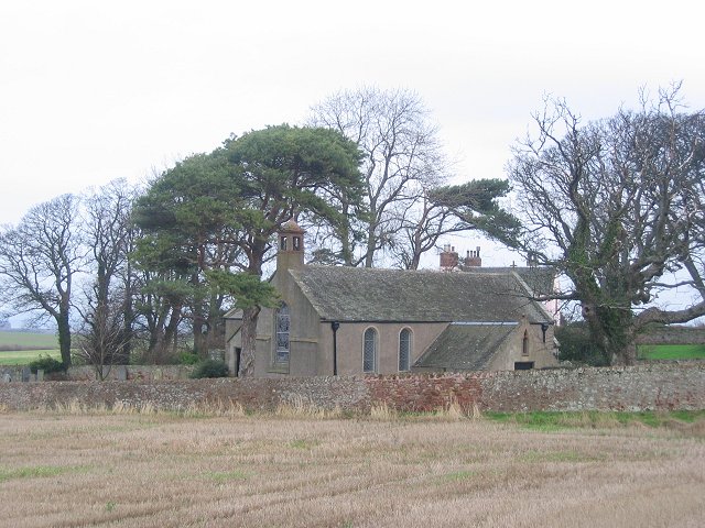
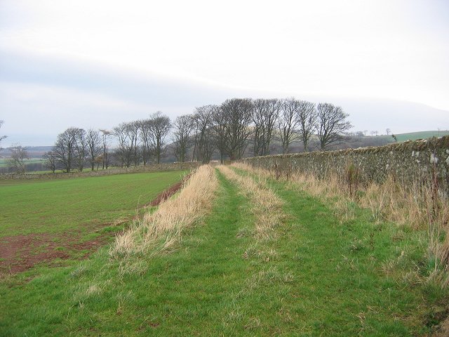
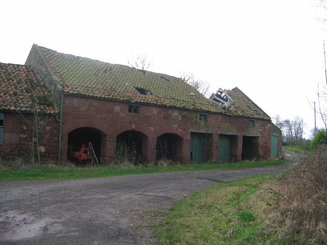
East Kirkshotts Plantation Images

Images are sourced within 2km of 55.959846/-2.5364621 or Grid Reference NT6674. Thanks to Geograph Open Source API. All images are credited.

Ford between Spott and Halls
Ford between Spott and Little Spott
Spott Churchyard and Pink House
Spott
Churchyard and Pink House
Oak wood Oak trees at Woodhall Dean.
Oak wood
Oak trees at Woodhall Dean.
Newly planted field The trees are in the square to the north.
Newly planted field
The trees are in the square to the north.
Spott Westward view through the village towards the grain stores at Spott Farm.
Spott
Westward view through the village towards the grain stores at Spott Farm.
Spott The old village school.
Spott
The old village school.
Spott kirk. Peaceful now, but this village has a very dark history. They were still murdering women for "witchcraft" in the 18th century in this parish. That's right, still chucking people on fires only 300 years ago.
Spott kirk.
Peaceful now, but this village has a very dark history. They were still murdering women for "witchcraft" in the 18th century in this parish. That's right, still chucking people on fires only 300 years ago.
Field margin, Spott. Near West Mains, some of the wall around Spott House. View NE
Field margin, Spott.
Near West Mains, some of the wall around Spott House. View NE
Driving, The Brunt. Cattle being driven down to Spott Home Farm along the Brunt Road.
Driving, The Brunt.
Cattle being driven down to Spott Home Farm along the Brunt Road.
A cleugh under the Brunt. Steep sided glen behind the Brunt. View W towards Deucharie Dod.
A cleugh under the Brunt.
Steep sided glen behind the Brunt. View W towards Deucharie Dod.
Oak Wood. Wood at the Brunt, marked by the OS as simply "Oak Wood", pheasant rearing stuff in there and obvious signs of coppicing.
Oak Wood.
Wood at the Brunt, marked by the OS as simply "Oak Wood", pheasant rearing stuff in there and obvious signs of coppicing.
Brunt Hill. Windswept sheep on Brunt Hill. It was blowing a gale, and I was glad to get through the shelterbelt in the background for a rest from the battering.
Brunt Hill.
Windswept sheep on Brunt Hill. It was blowing a gale, and I was glad to get through the shelterbelt in the background for a rest from the battering.
Witches Stone. Marion Lille was murdered here in 1698. Women were not safe in the Spott area until well into the 18th century. The court responsible sat near by. The stone was until recently neglected, but has now been given some protection. It still has some folkloric value, coins are left on it.
Witches Stone.
Marion Lille was murdered here in 1698. Women were not safe in the Spott area until well into the 18th century. The court responsible sat near by. The stone was until recently neglected, but has now been given some protection. It still has some folkloric value, coins are left on it.
Road near Spott. SW view from near the Witches Stone. The road to the right goes to the ford right on the edge of the square.
Road near Spott.
SW view from near the Witches Stone. The road to the right goes to the ford right on the edge of the square.
Brock Burn. Alders growing beside the burn, upstream of the ford.
Brock Burn.
Alders growing beside the burn, upstream of the ford.
Field  margin. Strip left unploughed as is often the practice now for wildlife/game reasons. View north towards the Bass Rock.
Field margin.
Strip left unploughed as is often the practice now for wildlife/game reasons. View north towards the Bass Rock.
Little Spott. Barn that has seen better days. Could still end up as a steading conversion.


---
2021
It did: <a href="https://www.geograph.org.uk/photo/6733908">NT6574 : Little Spott</a>
Little Spott.
Barn that has seen better days. Could still end up as a steading conversion. --- 2021 It did: NT6574 : Little Spott
Show me another place!

East Kirkshotts Plantation is located at Grid Ref: NT6674 (Lat: 55.959846, Lng: -2.5364621)

Unitary Authority: East Lothian

Police Authority: The Lothians and Scottish Borders

What 3 Words

///think.coats.crossword. Near Dunbar, East Lothian

Related Wikis

Spott, East Lothian

Spott is a small village on the eastern fringes of East Lothian in Scotland, just over 2 miles (3.2 km) south-west of Dunbar. The village straddles an...

Battle of Dunbar (1296)

The Battle of Dunbar was the only significant field action of the campaign of 1296 during the beginning of the First War of Scottish Independence. ��2...
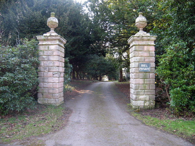
Biel, East Lothian

Biel is a village in East Lothian, Scotland, UK, to the south of Dunbar, off the B6370 road. It is situated on the Biel Estate, close to Biel House....

Biel House

Biel House is a historic house on the Biel Estate near Stenton, East Lothian, Scotland. It is a Category A listed building. == House == The present Biel...

West Barns

West Barns is a small village in East Lothian, Scotland. It lies 2 miles west of Dunbar and approximately 28 miles east of Edinburgh. It is close to John...

Pressmennan Lake

Pressmennan Lake is a lake in East Lothian in Scotland. It is an artificial reservoir constructed in 1819 by a Mr Nesbit who dammed the streams flowing...

Belhaven Hospital

Belhaven Hospital is a community hospital in Beveridge Row, Dunbar, East Lothian. The hospital is managed by NHS Lothian. == History == The hospital was...
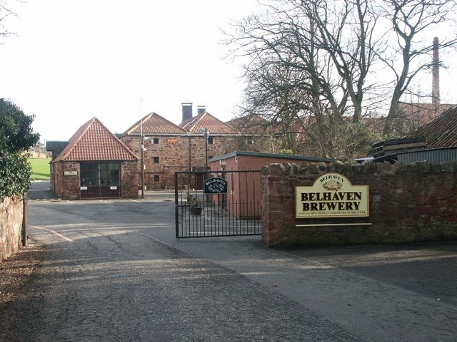
Belhaven Brewery

Belhaven Brewery is a brewery based in Belhaven, Scotland. The brewery dates from 1719, at least; by 2005 it had become the largest and oldest surviving...

Have you been to East Kirkshotts Plantation?

Leave your review of East Kirkshotts Plantation below (or comments, questions and feedback).