Spott Dod
Hill, Mountain in East Lothian
Scotland
Spott Dod
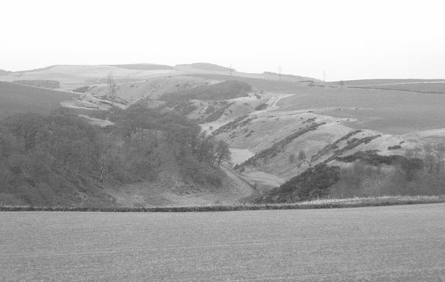
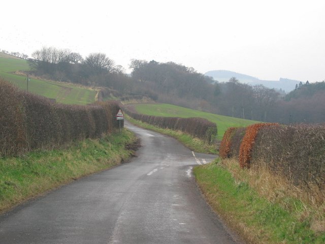
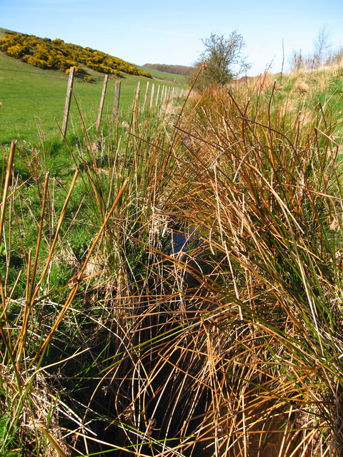
Spott Dod is a prominent hill located in East Lothian, Scotland. Rising to a height of 265 meters (870 feet), it offers stunning panoramic views of the surrounding countryside and coastline. Situated about 5 kilometers (3 miles) southeast of Dunbar, Spott Dod is easily accessible by road, making it a popular destination for nature enthusiasts and hikers.
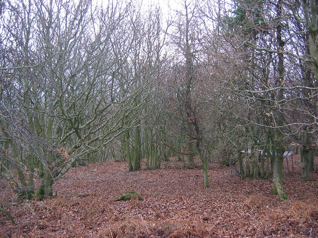
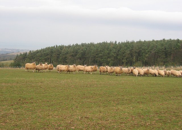
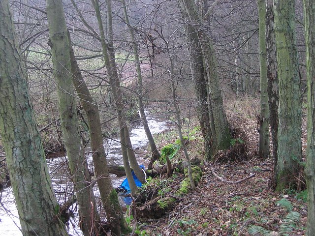
The hill is part of the Lammermuir Hills range and is characterized by its gentle slopes and rolling grasslands. The landscape is dotted with a variety of flora and fauna, including heather, wildflowers, and small mammals such as rabbits and hares. Birdwatchers can also spot various species of birds, including kestrels and buzzards, soaring above.
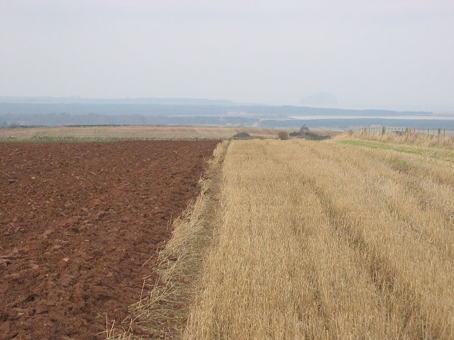
At the summit of Spott Dod, visitors are rewarded with breathtaking views of the East Lothian countryside, with the North Sea shimmering in the distance. On clear days, the vista extends as far as the Bass Rock, a volcanic island known for its large seabird colonies.
The hill is a popular destination for outdoor activities such as walking, hiking, and picnicking. Several well-marked trails lead to the summit, catering to different difficulty levels and providing options for both casual walkers and experienced hikers. As a result, Spott Dod attracts visitors of all ages and fitness levels, who come to enjoy the peaceful and picturesque surroundings.
Overall, Spott Dod is a charming hill in East Lothian, offering visitors a chance to immerse themselves in nature and experience the beauty of the Scottish countryside.
If you have any feedback on the listing, please let us know in the comments section below.
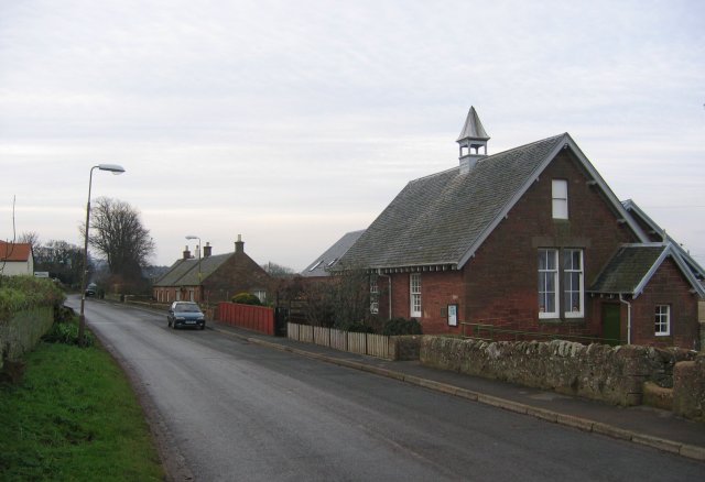
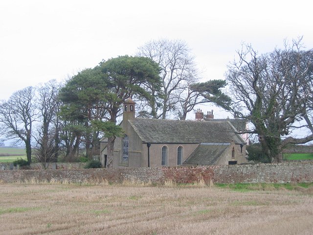
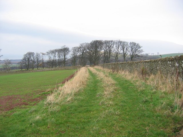
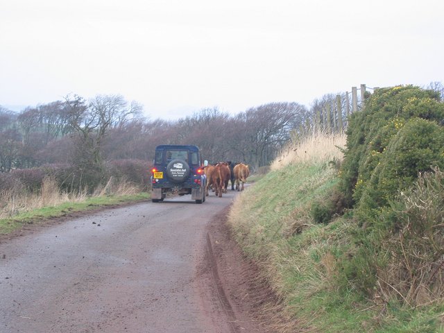
Spott Dod Images
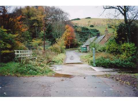
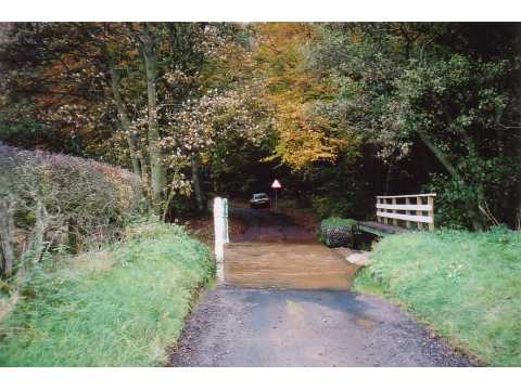
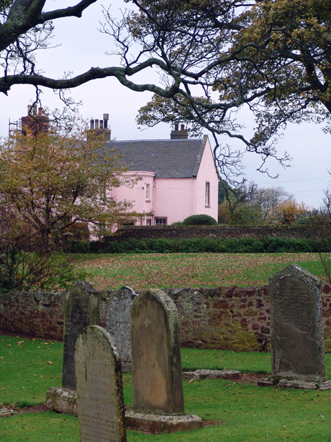
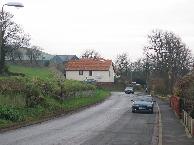
Images are sourced within 2km of 55.962178/-2.5374555 or Grid Reference NT6674. Thanks to Geograph Open Source API. All images are credited.
Spott Dod is located at Grid Ref: NT6674 (Lat: 55.962178, Lng: -2.5374555)
Unitary Authority: East Lothian
Police Authority: The Lothians and Scottish Borders
What 3 Words
///suffix.array.indeed. Near Dunbar, East Lothian
Nearby Locations
Related Wikis

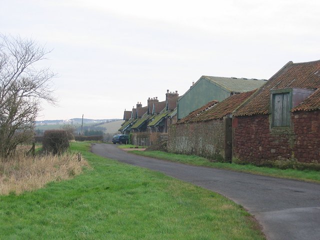
Spott, East Lothian
Spott is a small village on the eastern fringes of East Lothian in Scotland, just over 2 miles (3.2 km) south-west of Dunbar. The village straddles an...

Battle of Dunbar (1296)
The Battle of Dunbar was the only significant field action of the campaign of 1296 during the beginning of the First War of Scottish Independence. ��2...
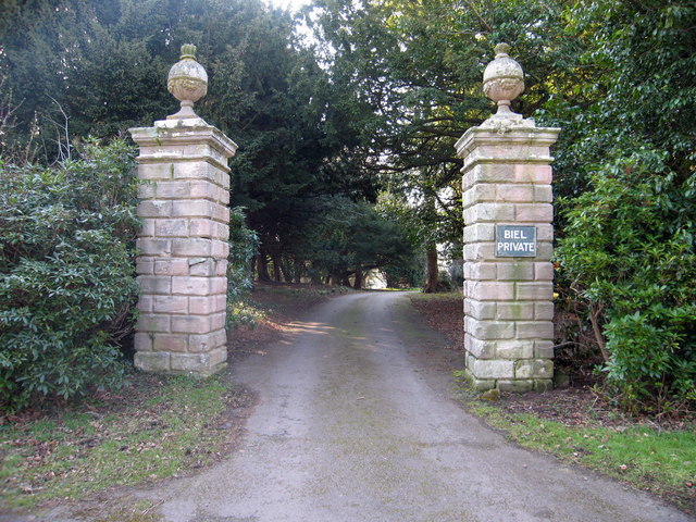
Biel, East Lothian
Biel is a village in East Lothian, Scotland, UK, to the south of Dunbar, off the B6370 road. It is situated on the Biel Estate, close to Biel House....

Biel House
Biel House is a historic house on the Biel Estate near Stenton, East Lothian, Scotland. It is a Category A listed building. == House == The present Biel...

West Barns
West Barns is a small village in East Lothian, Scotland. It lies 2 miles west of Dunbar and approximately 28 miles east of Edinburgh. It is close to John...

Belhaven Hospital
Belhaven Hospital is a community hospital in Beveridge Row, Dunbar, East Lothian. The hospital is managed by NHS Lothian. == History == The hospital was...
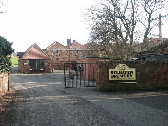
Belhaven Brewery
Belhaven Brewery is a brewery based in Belhaven, Scotland. The brewery dates from 1719, at least; by 2005 it had become the largest and oldest surviving...

Pressmennan Lake
Pressmennan Lake is a lake in East Lothian in Scotland. It is an artificial reservoir constructed in 1819 by a Mr Nesbit who dammed the streams flowing...
Nearby Amenities
Located within 500m of 55.962178,-2.5374555Have you been to Spott Dod?
Leave your review of Spott Dod below (or comments, questions and feedback).