Hardhead Plantation

Wood, Forest in East Lothian

Scotland

Hardhead Plantation

Ford between Spott and Halls
Ford between Spott and Halls Credit: Andrew Smith

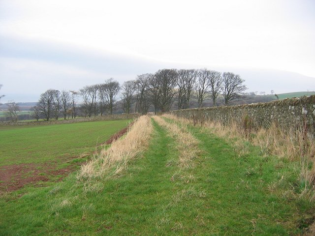
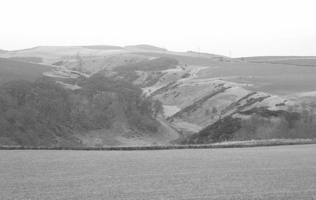
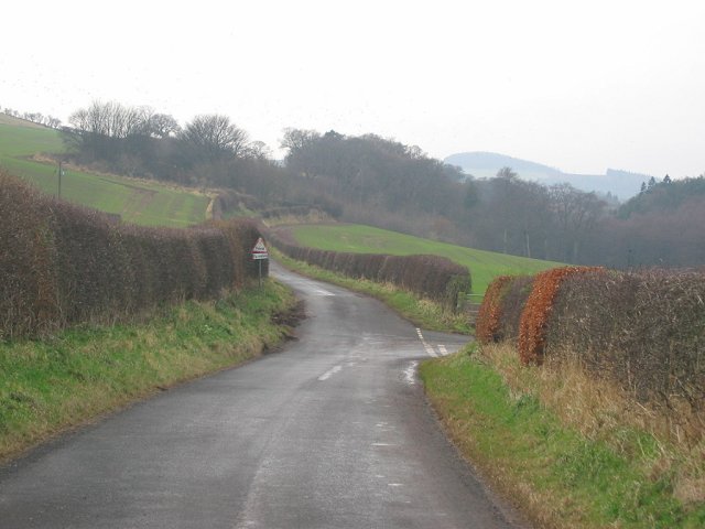
Hardhead Plantation is a picturesque woodland located in East Lothian, Scotland. Situated near the village of Gifford, it spans across an area of approximately 200 acres. The plantation is known for its dense foliage, diverse flora, and tranquil atmosphere, making it a popular destination for nature enthusiasts and hikers.

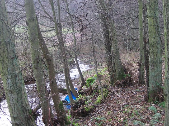
The woodland is predominantly composed of native tree species, such as oak, beech, and birch, which create a lush canopy that provides shade and shelter for various wildlife. The forest floor is carpeted with a rich assortment of mosses, ferns, and wildflowers, adding to the area's natural beauty.

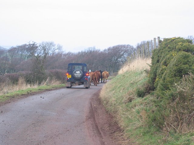
Hardhead Plantation is crisscrossed by a network of well-maintained walking trails, allowing visitors to explore the woodland at their own pace. These paths meander through the trees, revealing stunning views of the surrounding countryside and offering glimpses of wildlife such as deer, foxes, and numerous bird species.

The plantation also features a small pond, enhancing its ecological diversity and attracting creatures like frogs, dragonflies, and waterfowl. Additionally, there are several picnic areas and benches strategically placed throughout the woodland, providing visitors with opportunities to relax and enjoy the serene surroundings.

Hardhead Plantation is managed by the local authorities, who strive to preserve its natural integrity while providing a welcoming environment for visitors. The woodland offers a peaceful retreat from the hustle and bustle of everyday life, with its tranquil ambiance and stunning scenery making it a must-visit destination for nature lovers in East Lothian.

If you have any feedback on the listing, please let us know in the comments section below.

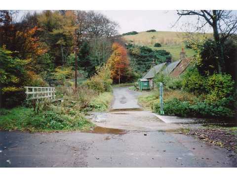
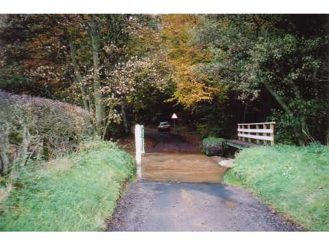
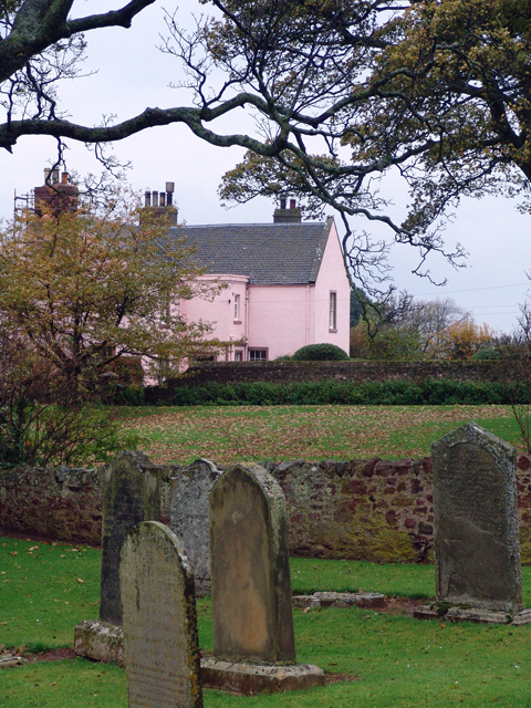
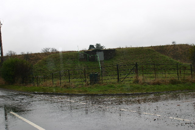
Hardhead Plantation Images

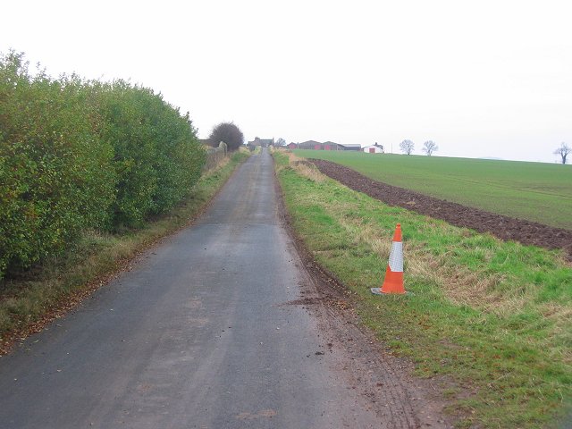
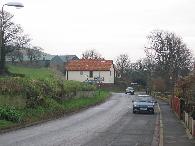
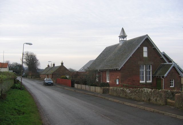
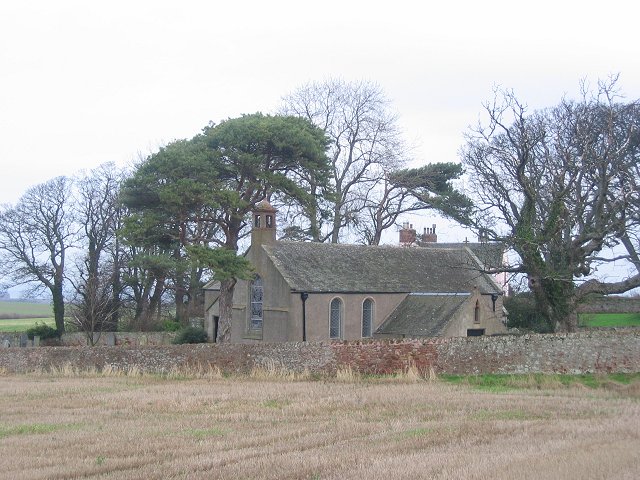
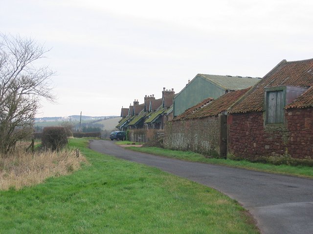
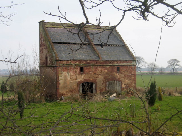
Images are sourced within 2km of 55.965216/-2.5391956 or Grid Reference NT6674. Thanks to Geograph Open Source API. All images are credited.

Ford between Spott and Halls
Ford between Spott and Little Spott
Spott Churchyard and Pink House
Spott
Churchyard and Pink House
Spott reservoir
Spott reservoir
Wester Broomhouse End of a long straight road, looking west.
Wester Broomhouse
End of a long straight road, looking west.
Spott Westward view through the village towards the grain stores at Spott Farm.
Spott
Westward view through the village towards the grain stores at Spott Farm.
Spott The old village school.
Spott
The old village school.
Spott kirk. Peaceful now, but this village has a very dark history. They were still murdering women for "witchcraft" in the 18th century in this parish. That's right, still chucking people on fires only 300 years ago.
Spott kirk.
Peaceful now, but this village has a very dark history. They were still murdering women for "witchcraft" in the 18th century in this parish. That's right, still chucking people on fires only 300 years ago.
Field margin, Spott. Near West Mains, some of the wall around Spott House. View NE
Field margin, Spott.
Near West Mains, some of the wall around Spott House. View NE
Driving, The Brunt. Cattle being driven down to Spott Home Farm along the Brunt Road.
Driving, The Brunt.
Cattle being driven down to Spott Home Farm along the Brunt Road.
A cleugh under the Brunt. Steep sided glen behind the Brunt. View W towards Deucharie Dod.
A cleugh under the Brunt.
Steep sided glen behind the Brunt. View W towards Deucharie Dod.
Witches Stone. Marion Lille was murdered here in 1698. Women were not safe in the Spott area until well into the 18th century. The court responsible sat near by. The stone was until recently neglected, but has now been given some protection. It still has some folkloric value, coins are left on it.
Witches Stone.
Marion Lille was murdered here in 1698. Women were not safe in the Spott area until well into the 18th century. The court responsible sat near by. The stone was until recently neglected, but has now been given some protection. It still has some folkloric value, coins are left on it.
Road near Spott. SW view from near the Witches Stone. The road to the right goes to the ford right on the edge of the square.
Road near Spott.
SW view from near the Witches Stone. The road to the right goes to the ford right on the edge of the square.
Brock Burn. Alders growing beside the burn, upstream of the ford.
Brock Burn.
Alders growing beside the burn, upstream of the ford.
Field  margin. Strip left unploughed as is often the practice now for wildlife/game reasons. View north towards the Bass Rock.
Field margin.
Strip left unploughed as is often the practice now for wildlife/game reasons. View north towards the Bass Rock.
Little Spott. Barn that has seen better days. Could still end up as a steading conversion.


---
2021
It did: <a href="https://www.geograph.org.uk/photo/6733908">NT6574 : Little Spott</a>
Little Spott.
Barn that has seen better days. Could still end up as a steading conversion. --- 2021 It did: NT6574 : Little Spott
Little Spott. View east along a small road (to Spott) beside the farm.
Little Spott.
View east along a small road (to Spott) beside the farm.
Doocot at Bowerhouse, near Dunbar, East Lothian This doocot is of the rectangular lectern type that superseded the beehive design <a href="https://www.geograph.org.uk/photo/137466">NT5977 : Phantassie 'Doocot'</a> and <a href="https://www.geograph.org.uk/photo/137838">NT5680 : Early morning at Waughton doocot</a> in the late 16th century. As typical of this type, the doocot has a sloping roof with stepped gables to provide perches for the pigeons. The roofs usually face south to give the birds a sunny surface to rest on, while sheltering them from northerly winds. 

This one appears to be two-storey, the ground floor would have been used for other purposes and the pigeon quarters on the upper floor.
Doocot at Bowerhouse, near Dunbar, East Lothian
This doocot is of the rectangular lectern type that superseded the beehive design NT5977 : Phantassie 'Doocot' and NT5680 : Early morning at Waughton doocot in the late 16th century. As typical of this type, the doocot has a sloping roof with stepped gables to provide perches for the pigeons. The roofs usually face south to give the birds a sunny surface to rest on, while sheltering them from northerly winds. This one appears to be two-storey, the ground floor would have been used for other purposes and the pigeon quarters on the upper floor.
Show me another place!

Hardhead Plantation is located at Grid Ref: NT6674 (Lat: 55.965216, Lng: -2.5391956)

Unitary Authority: East Lothian

Police Authority: The Lothians and Scottish Borders

What 3 Words

///bristle.puppy.movements. Near Dunbar, East Lothian

Related Wikis

Spott, East Lothian

Spott is a small village on the eastern fringes of East Lothian in Scotland, just over 2 miles (3.2 km) south-west of Dunbar. The village straddles an...

Battle of Dunbar (1296)

The Battle of Dunbar was the only significant field action of the campaign of 1296 during the beginning of the First War of Scottish Independence. ��2...
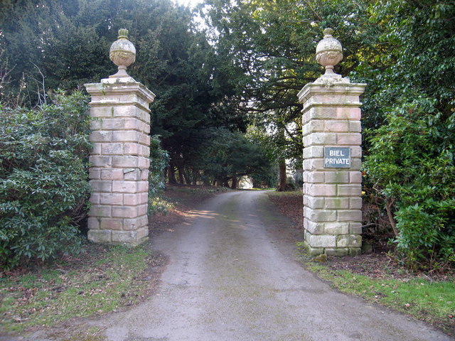
Biel, East Lothian

Biel is a village in East Lothian, Scotland, UK, to the south of Dunbar, off the B6370 road. It is situated on the Biel Estate, close to Biel House....

Biel House

Biel House is a historic house on the Biel Estate near Stenton, East Lothian, Scotland. It is a Category A listed building. == House == The present Biel...

Nearby Amenities

Located within 500m of 55.965216,-2.5391956
Ford: yes
Lat/Long: 55.9668472/-2.5397097
Daniel's Side
Place: locality
Lat/Long: 55.965745/-2.5418195
The data included in this document is from www.openstreetmap.org. The data is made available under ODbL.

Have you been to Hardhead Plantation?

Leave your review of Hardhead Plantation below (or comments, questions and feedback).