Neens Hill
Hill, Mountain in Shropshire
England
Neens Hill
The requested URL returned error: 429 Too Many Requests
If you have any feedback on the listing, please let us know in the comments section below.
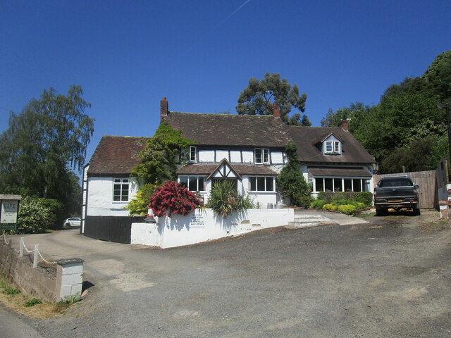
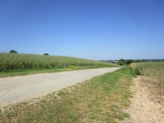
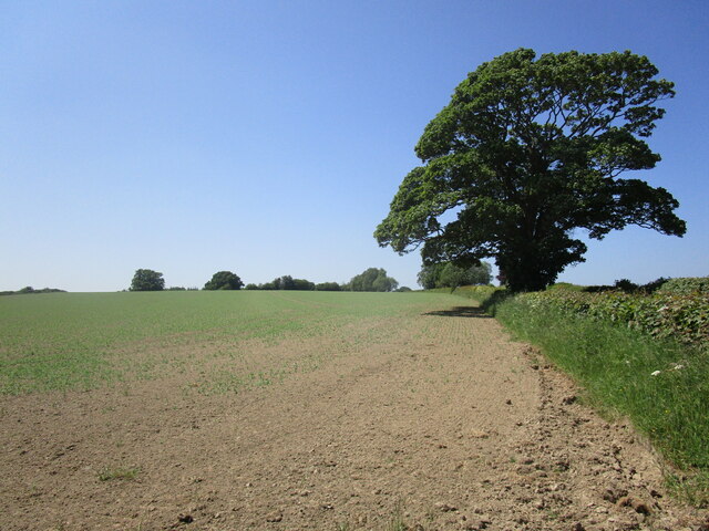
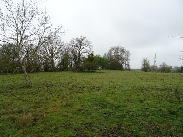
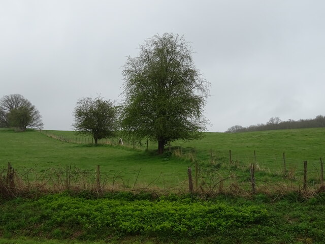
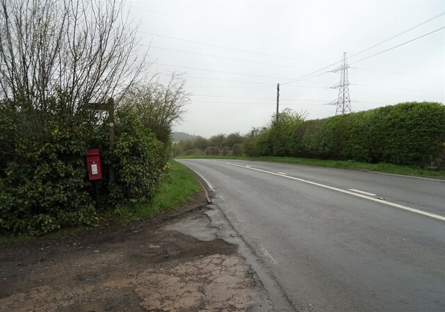
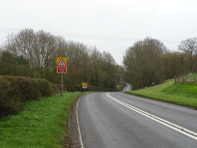
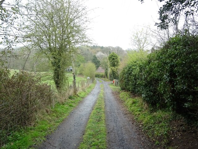
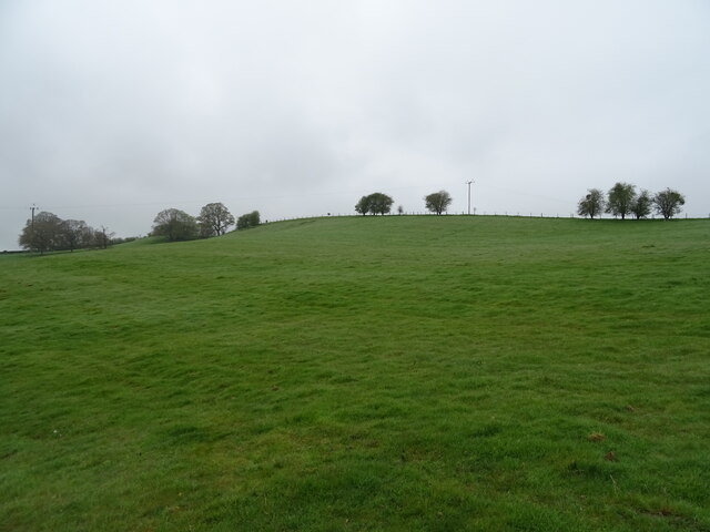
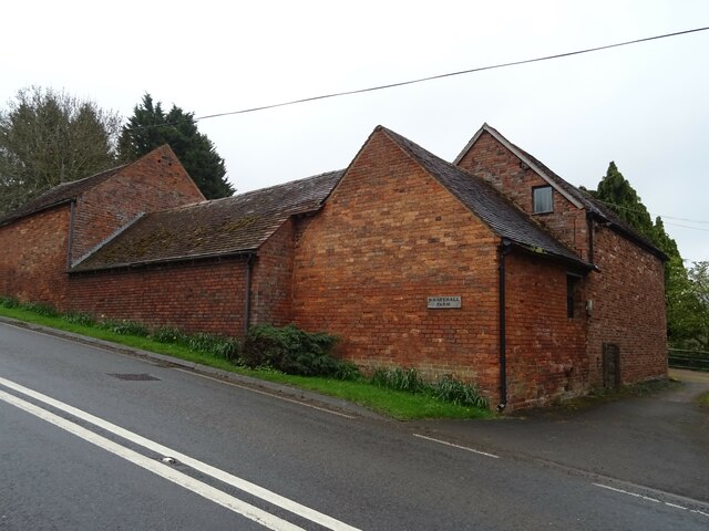
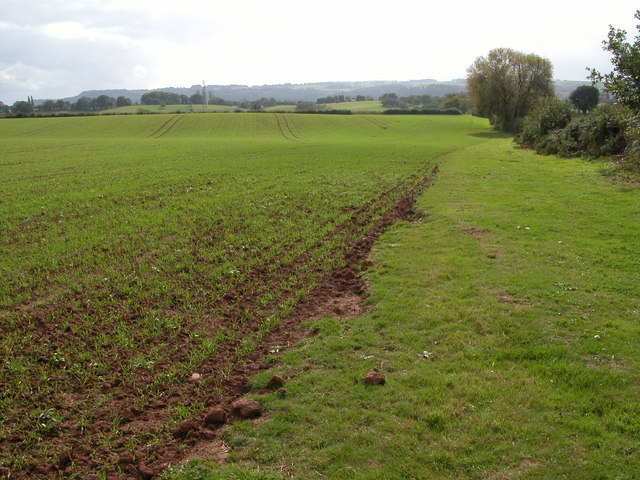
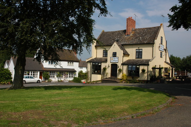
Neens Hill Images
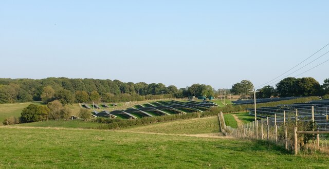
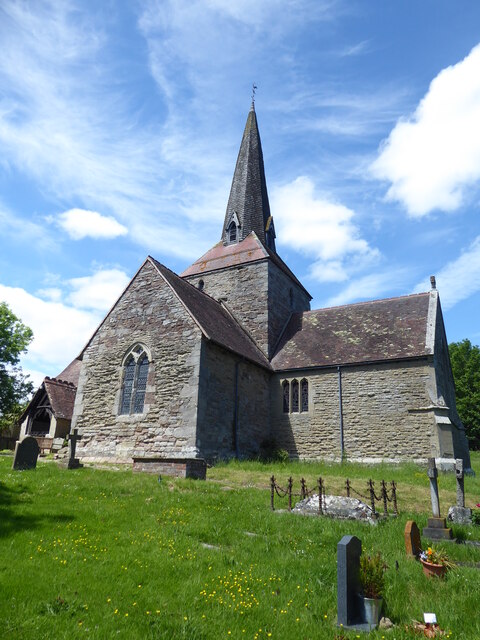
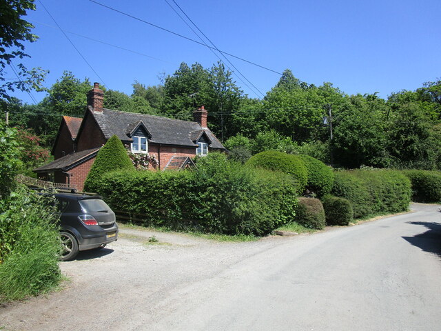
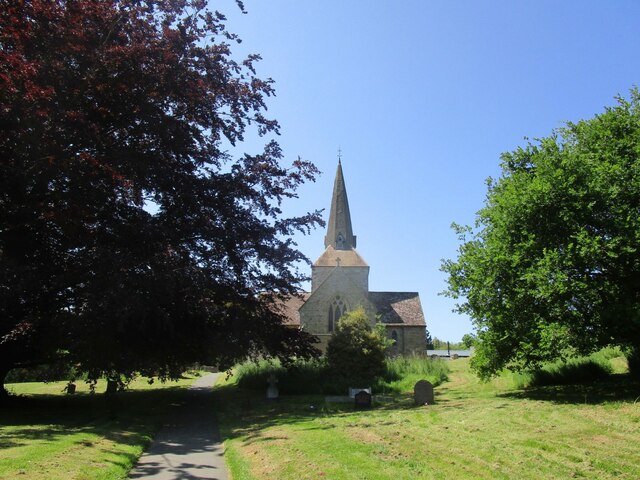
Images are sourced within 2km of 52.342242/-2.4922671 or Grid Reference SO6671. Thanks to Geograph Open Source API. All images are credited.


Neens Hill is located at Grid Ref: SO6671 (Lat: 52.342242, Lng: -2.4922671)
Unitary Authority: Shropshire
Police Authority: West Mercia
What 3 Words
///copycat.spoons.factoring. Near Cleobury Mortimer, Shropshire
Nearby Locations
Related Wikis

Neen Sollars railway station
Neen Sollars railway station was a station on the Tenbury & Bewdley railway in Neen Sollars, Shropshire, England. The station opened on 13 August 1864...

Neen Sollars
Neen Sollars is a village and civil parish in south east Shropshire, England. It is situated close to the border with Worcestershire, three miles south...
Marlbrook, Shropshire
Marlbrook is a hamlet in Shropshire, England, right on the border with Worcestershire. == References == The geographic coordinates are from the Ordnance...
Mamble
Mamble is a village and civil parish in the Malvern Hills District in the county of Worcestershire, England. It is located on the A456 between Bewdley...
Nearby Amenities
Located within 500m of 52.342242,-2.4922671Have you been to Neens Hill?
Leave your review of Neens Hill below (or comments, questions and feedback).