Green's Belt
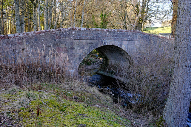
Wood, Forest in Kincardineshire
Scotland
Green's Belt

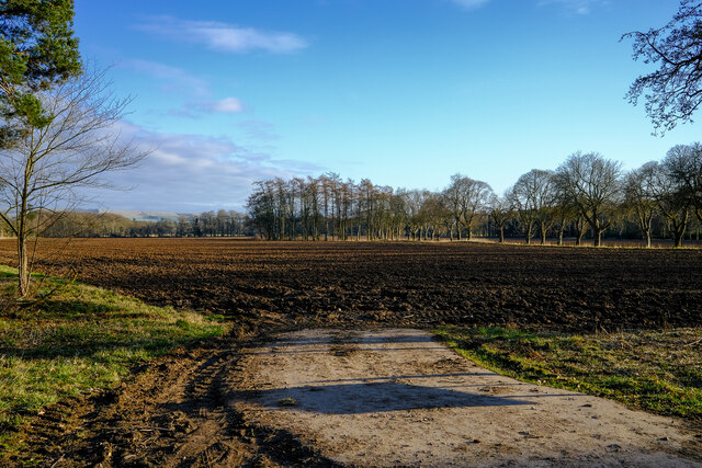
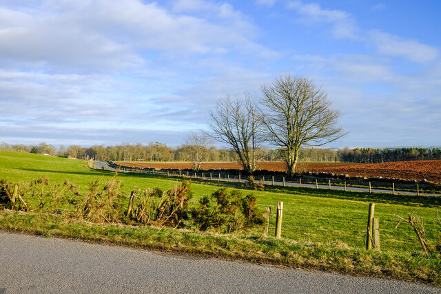
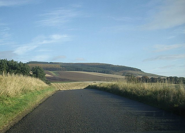
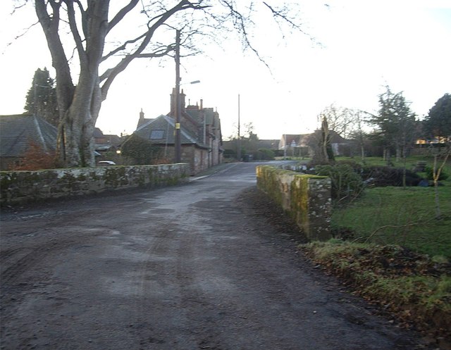
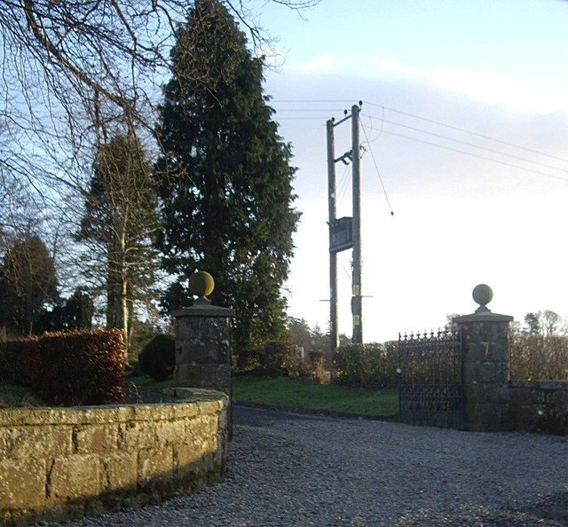
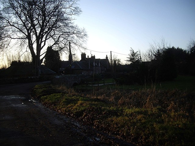
Green's Belt in Kincardineshire, Scotland, is a lush woodland expanse that stretches across approximately 500 acres. Situated in the heart of the county, it is a treasured natural gem known for its outstanding beauty and ecological significance. The forest is located just a few miles southwest of Stonehaven, a small coastal town, making it easily accessible for both locals and tourists alike.
Green's Belt boasts a diverse range of flora and fauna, with a rich variety of tree species including oak, birch, and pine dominating the landscape. The woodland is characterized by its dense canopies, which provide a haven for numerous bird species, such as woodpeckers, owls, and finches. Mammals such as deer, foxes, and badgers also call this forest home, contributing to its vibrant and thriving ecosystem.
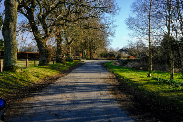
The forest offers a network of well-maintained trails, catering to both casual walkers and avid hikers. These paths wind their way through the woodland, allowing visitors to immerse themselves in the tranquility of nature while enjoying picturesque views of the surrounding countryside. Additionally, there are designated picnic areas and viewpoints strategically placed throughout, providing perfect spots to rest, relax, and take in the breathtaking scenery.
Green's Belt also plays an essential role in carbon sequestration, acting as a significant carbon sink. Its preservation and protection contribute to mitigating the effects of climate change and maintaining the area's overall environmental health.
Whether it is for a leisurely stroll, birdwatching, or simply seeking solace amidst nature, Green's Belt in Kincardineshire offers an idyllic retreat for nature enthusiasts and those looking to connect with the natural world.
If you have any feedback on the listing, please let us know in the comments section below.
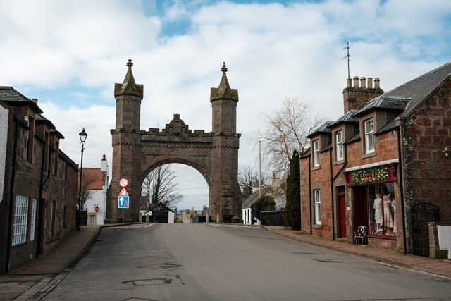
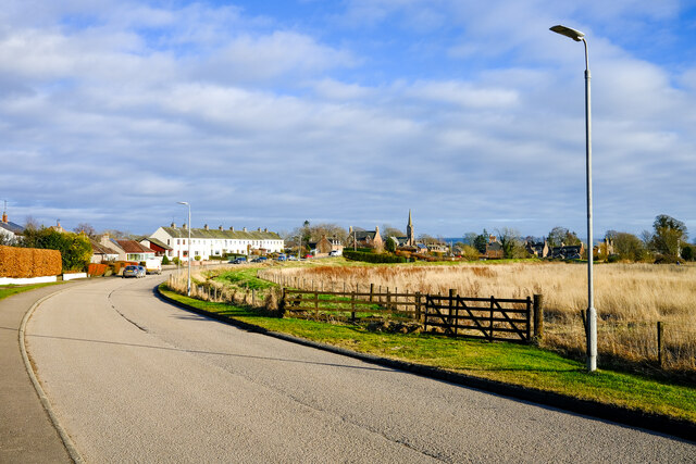
Green's Belt Images
Images are sourced within 2km of 56.856309/-2.549427 or Grid Reference NO6674. Thanks to Geograph Open Source API. All images are credited.


Green's Belt is located at Grid Ref: NO6674 (Lat: 56.856309, Lng: -2.549427)
Unitary Authority: Aberdeenshire
Police Authority: North East
What 3 Words
///jeering.gladiator.rigs. Near Laurencekirk, Aberdeenshire
Nearby Locations
Related Wikis

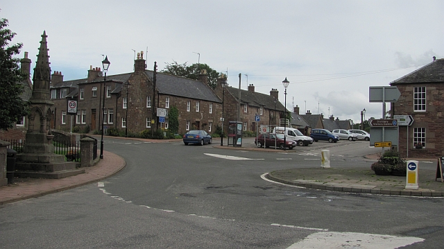
Kincardine, Aberdeenshire
Kincardine was a burgh in Scotland, near the present-day village of Fettercairn. It served as the first county town of Kincardineshire. The settlement...

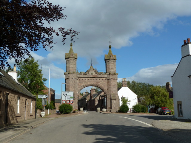
Fettercairn
Fettercairn (, Scottish Gaelic: Fothair Chàrdain) is a small village in Aberdeenshire, Scotland, northwest of Laurencekirk in Aberdeenshire on the B966...

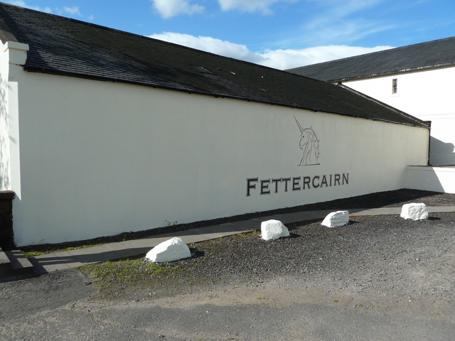
Fettercairn distillery
Fettercairn distillery is a whisky distillery in Fettercairn. Situated under the Grampian foothills in the Howe of Mearns, Fettercairn town’s name is...

Fasque House
Fasque, also known as Fasque House or Fasque Castle, is a mansion in Aberdeenshire, Scotland, situated near the village of Fettercairn, in the former county...
Nearby Amenities
Located within 500m of 56.856309,-2.549427Have you been to Green's Belt?
Leave your review of Green's Belt below (or comments, questions and feedback).