Blackbank Wood
Wood, Forest in East Lothian
Scotland
Blackbank Wood

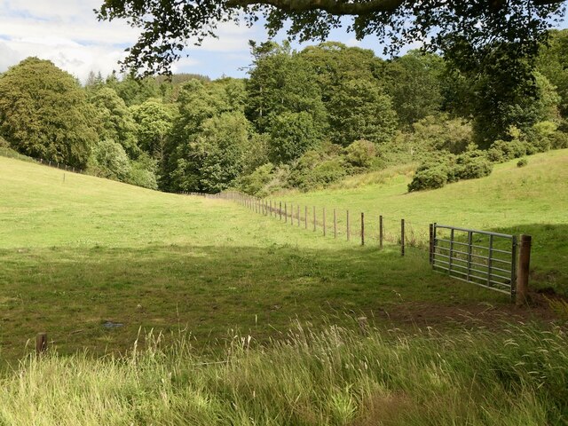
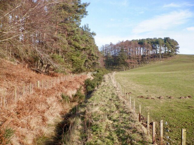
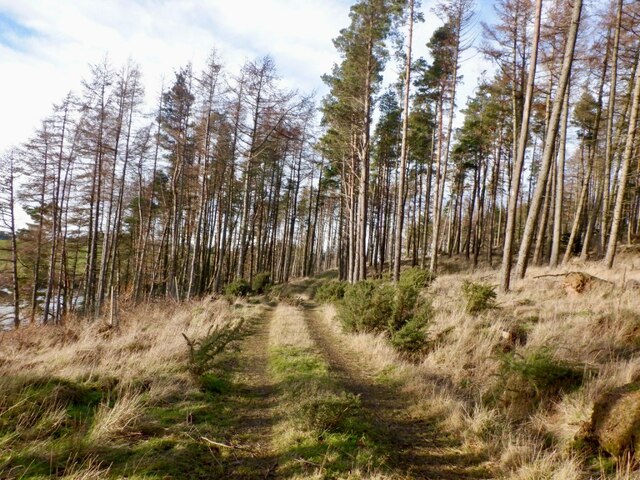
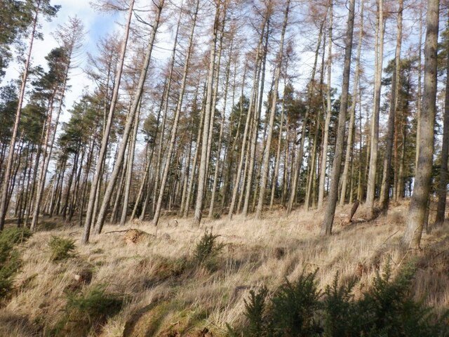
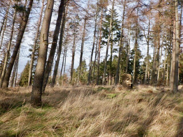
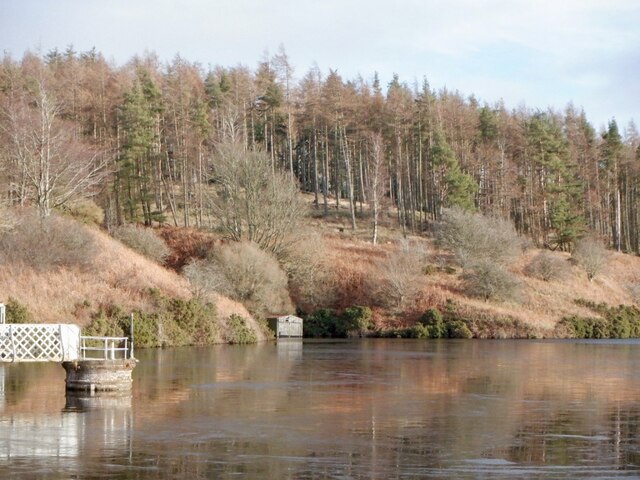
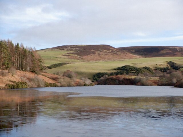
Blackbank Wood is a picturesque woodland located in East Lothian, Scotland. Covering an area of approximately 50 hectares, this ancient forest is renowned for its diverse range of flora and fauna, making it a popular destination for nature enthusiasts and hikers alike.
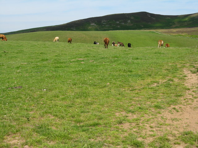
The wood is characterized by its dense canopy of towering trees, primarily consisting of native species such as oak, beech, and birch. These majestic trees create a serene and tranquil atmosphere, providing a refuge for a variety of wildlife. Visitors may encounter a multitude of bird species including woodpeckers, owls, and various songbirds. Additionally, the wood is home to mammals such as red squirrels, badgers, and deer, which can often be spotted meandering through the undergrowth.
Traversing through Blackbank Wood, visitors can explore a network of well-maintained trails that wind through the forest. These paths offer stunning views of the surrounding landscape and provide an opportunity to witness the changing seasons in all their glory. In spring, the woodland floor comes alive with a vibrant carpet of bluebells, primroses, and wild garlic, creating a breathtaking sight.
Blackbank Wood also holds historical significance, with remnants of ancient settlements and burial sites scattered throughout the area. These archaeological features add an extra layer of intrigue and provide insight into the rich cultural heritage of the region.
Overall, Blackbank Wood offers a captivating experience for nature lovers, history enthusiasts, and those seeking a peaceful retreat amidst the natural beauty of East Lothian.
If you have any feedback on the listing, please let us know in the comments section below.
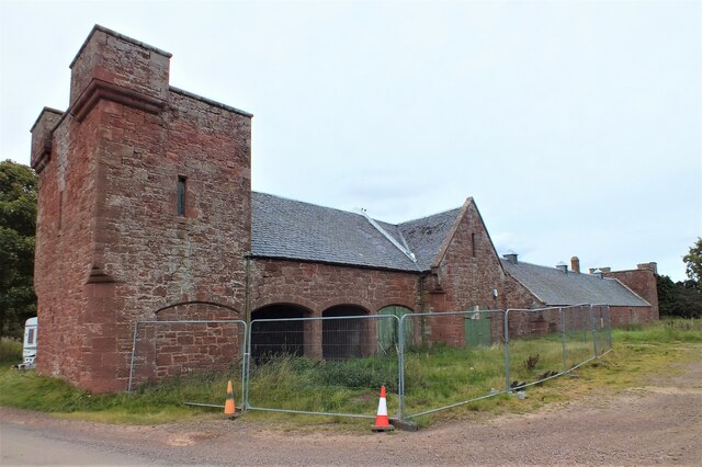
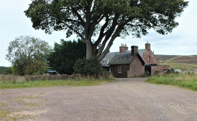
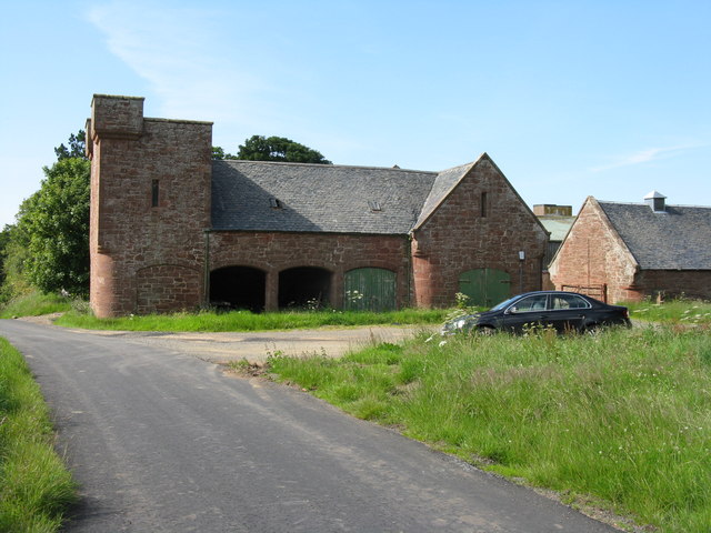
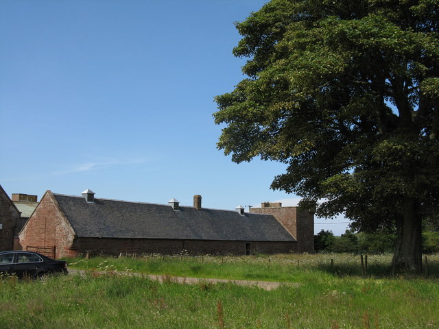
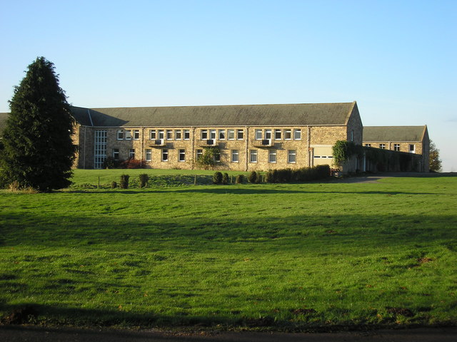
Blackbank Wood Images
Images are sourced within 2km of 55.928858/-2.6381415 or Grid Reference NT6070. Thanks to Geograph Open Source API. All images are credited.
Blackbank Wood is located at Grid Ref: NT6070 (Lat: 55.928858, Lng: -2.6381415)
Unitary Authority: East Lothian
Police Authority: The Lothians and Scottish Borders
What 3 Words
///spoiled.mows.approach. Near East Linton, East Lothian
Nearby Locations
Related Wikis

Stoneypath Tower
Stoneypath Tower, is an L-plan tower house dating from the late sixteenth century, about 3.5 miles (5.6 km) south of East Linton, and east of the Whittinghame...
Sancta Maria Abbey, Nunraw
Nunraw Abbey or Sancta Maria Abbey, Nunraw is a working Trappist (Ordo Cisterciensis Strictioris Observantiae) monastery. It was the first Cistercian house...

Garvald, East Lothian
Garvald is a village south-east of Haddington in East Lothian, Scotland. It lies on the Papana Water south of the B6370, east of Gifford. The combined...

Whittingehame Tower
Whittingehame Tower, or Whittingehame Castle, is a fifteenth-century tower house about 2.5 miles (4.0 km) south of East Linton, on the west bank of Whittinghame...

Whittingehame
Whittingehame is a parish with a small village in East Lothian, Scotland, about halfway between Haddington and Dunbar, and near East Linton. The area is...

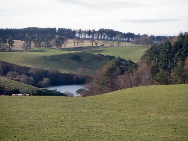
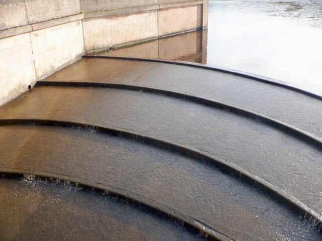
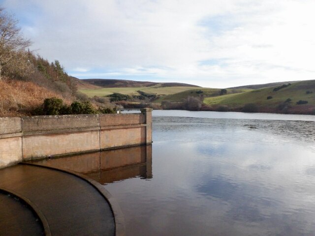
Pressmennan Lake
Pressmennan Lake is a lake in East Lothian in Scotland. It is an artificial reservoir constructed in 1819 by a Mr Nesbit who dammed the streams flowing...

Bara, East Lothian
Bara, anciently spelt Baro, is an agricultural parish in East Lothian, Scotland, which adjoins the parish of Garvald to the east, and Lauder across the...

Stenton
Stenton (Scots: Staneton) is a parish and village in East Lothian, Scotland. It is bounded on the north by parts of the parishes of Prestonkirk and Dunbar...
Nearby Amenities
Located within 500m of 55.928858,-2.6381415Have you been to Blackbank Wood?
Leave your review of Blackbank Wood below (or comments, questions and feedback).