Cuddy Plantation

Wood, Forest in Roxburghshire

Scotland

Cuddy Plantation

B6357 towards Bonchester Bridge
B6357 towards Bonchester Bridge Credit: Steven Brown

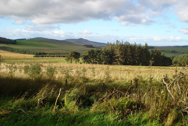
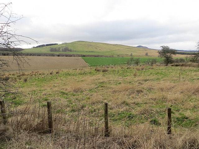
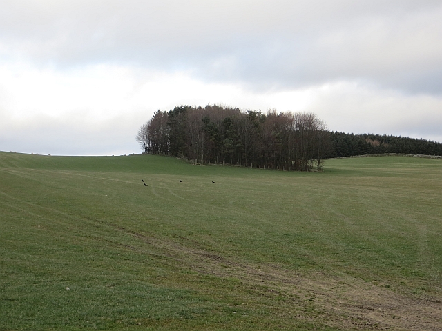
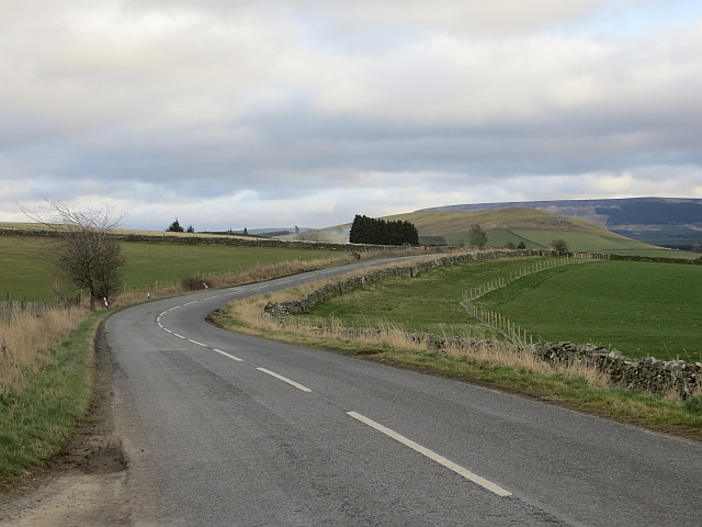
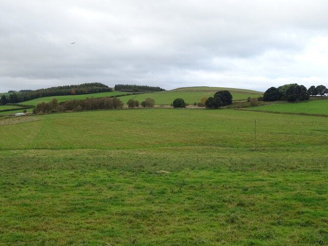
Cuddy Plantation is a picturesque woodland area located in Roxburghshire, a historic county in the Scottish Borders region. Covering a vast expanse of approximately 200 acres, the plantation is nestled within the rolling hills and lush countryside of the area.

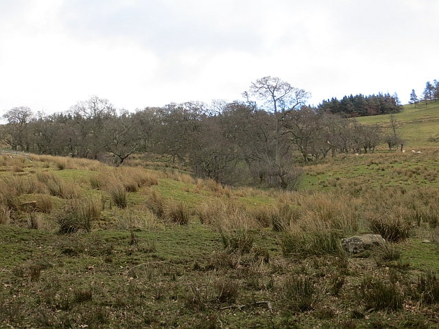
The main feature of Cuddy Plantation is its dense forest, comprised primarily of deciduous trees, including oak, beech, and birch. These towering trees provide a majestic canopy, casting dappled sunlight onto the forest floor below. The woodland is home to a rich variety of flora and fauna, including rare and protected species such as red squirrels, badgers, and various woodland birds.

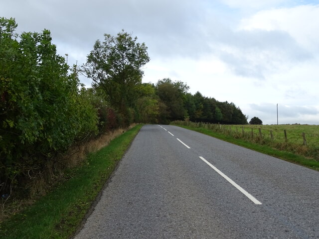
A network of well-maintained trails crisscrosses the plantation, allowing visitors to explore and appreciate its natural beauty. These paths wind through the forest, leading to tranquil ponds, babbling brooks, and open meadows dotted with vibrant wildflowers. The plantation is a haven for nature enthusiasts, offering opportunities for birdwatching, wildlife spotting, and peaceful walks in a serene environment.

Cuddy Plantation also has a fascinating history. It was once part of a larger estate owned by the Cuddy family, who were prominent landowners in the area during the 17th and 18th centuries. Today, remnants of their influence can still be seen in the form of ancient stone walls and ruins of old buildings scattered throughout the woodland, adding an air of mystery and intrigue to the plantation.

Overall, Cuddy Plantation is a captivating destination, showcasing the enchanting beauty of Scotland's woodlands and providing a glimpse into the region's rich historical past.

If you have any feedback on the listing, please let us know in the comments section below.

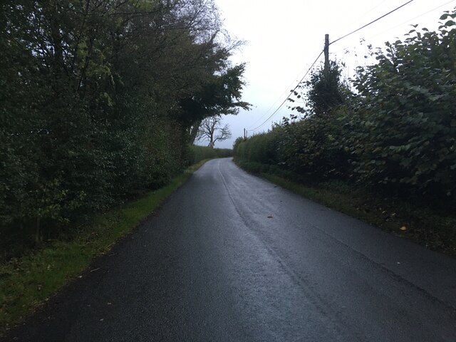
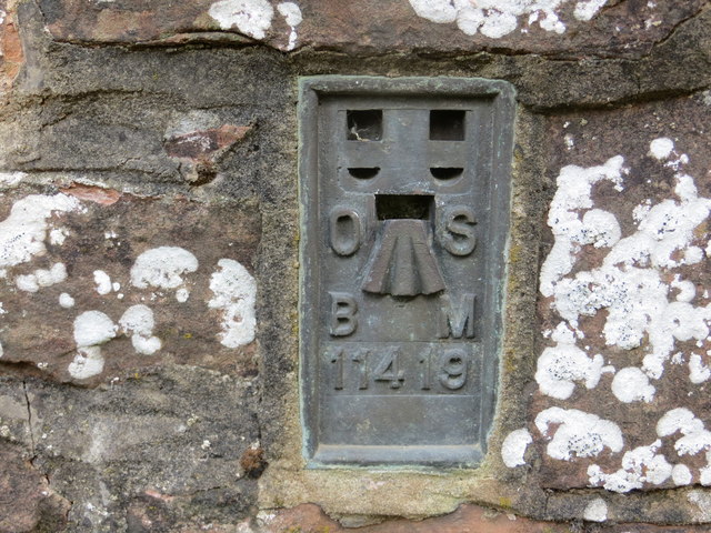
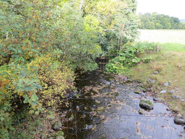
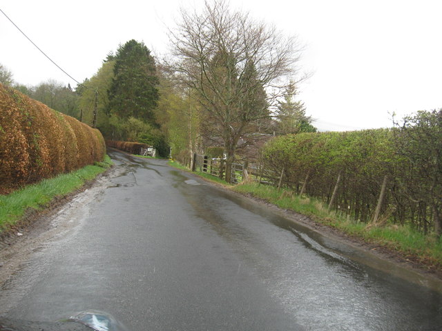
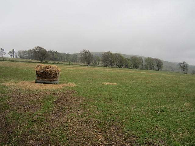
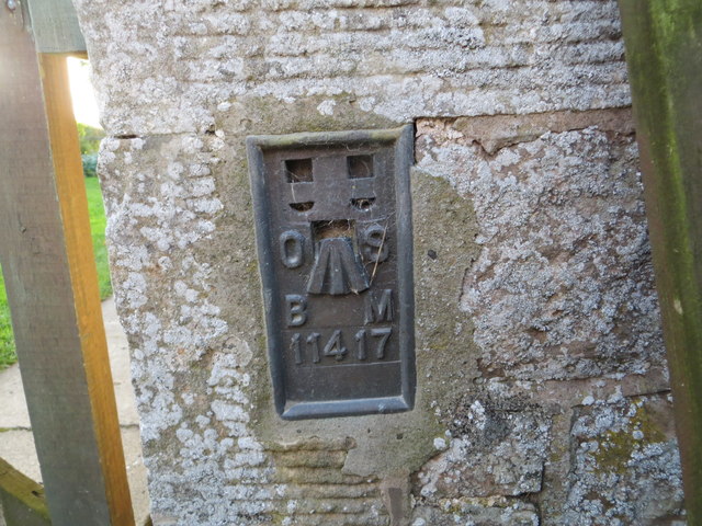
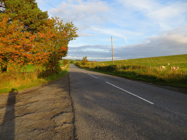
Cuddy Plantation Images

Images are sourced within 2km of 55.387499/-2.629155 or Grid Reference NT6010. Thanks to Geograph Open Source API. All images are credited.

B6357 towards Bonchester Bridge
Ordnance Survey Flush Bracket 11419 This can be found on the parapet wall of a bridge over Catlee Burn at Forkins.
For more detail see : <span class="nowrap"><a title="http://www.bench-marks.org.uk/bm16610" rel="nofollow ugc noopener" href="http://www.bench-marks.org.uk/bm16610">Link</a><img style="margin-left:2px;" alt="External link" title="External link - shift click to open in new window" src="https://s1.geograph.org.uk/img/external.png" width="10" height="10"/></span>
Ordnance Survey Flush Bracket 11419
This can be found on the parapet wall of a bridge over Catlee Burn at Forkins. For more detail see : LinkExternal link
Catlee Burn viewed from the bridge at Forkins Looking north-westward.
Catlee Burn viewed from the bridge at Forkins
Looking north-westward.
The B6357heading south towards Wolfelee in Roxburghshire
Field above Cleuch Head Grass field with left overs from Winter.
Field above Cleuch Head
Grass field with left overs from Winter.
Alder wood, Wolfelee
Ordnance Survey Flush Bracket 11417 This can be found on the wall of a cottage - a private dwelling - at Doorpool.
For more detail see : <span class="nowrap"><a title="http://www.bench-marks.org.uk/bm1550" rel="nofollow ugc noopener" href="http://www.bench-marks.org.uk/bm1550">Link</a><img style="margin-left:2px;" alt="External link" title="External link - shift click to open in new window" src="https://s1.geograph.org.uk/img/external.png" width="10" height="10"/></span>
Ordnance Survey Flush Bracket 11417
This can be found on the wall of a cottage - a private dwelling - at Doorpool. For more detail see : LinkExternal link
Road (A6088) at Doorpool Cottages Looking eastward.
Road (A6088) at Doorpool Cottages
Looking eastward.
Grass track northeast of Wolfelee Hill
Very rough grazing with small patches of woodland The valley of the White Burn seen from the edge of the Lustruther Strip of woodland.  The hill in the middle distance is Rubers Law.
Very rough grazing with small patches of woodland
The valley of the White Burn seen from the edge of the Lustruther Strip of woodland. The hill in the middle distance is Rubers Law.
Field, Doorpool
Field, Doorpool
Field, Doorpool Drying out after a wet Winter.
Field, Doorpool
Drying out after a wet Winter.
A6088, Doorpool Heading towards Chesters.
A6088, Doorpool
Heading towards Chesters.
Grazing, Chesters Off the A6088.
Grazing, Chesters
Off the A6088.
A6088 towards Bonchester Bridge
Cottage, Doorpool
Cottage, Doorpool
Grazing, Doorpool
Grazing, Doorpool
A68, Doorpool Towards Bonchester Bridge.
A68, Doorpool
Towards Bonchester Bridge.
Show me another place!

Cuddy Plantation is located at Grid Ref: NT6010 (Lat: 55.387499, Lng: -2.629155)

Unitary Authority: The Scottish Borders

Police Authority: The Lothians and Scottish Borders

What 3 Words

///snowy.registry.tarnished. Near Hawick, Scottish Borders

Related Wikis

Hobkirk

Hobkirk (Scottish Gaelic: Eaglais Ruail) is a village and civil parish in the Scottish Borders area of Scotland, by the Rule Water, south-west of Jedburgh...

Bonchester Bridge

Bonchester Bridge (Scots Binster Brig) is a village in Roxburghshire, within the Scottish Borders area of Scotland, lying on the Rule Water, six miles...

Abbotrule

Abbotrule is a hamlet south of the B6357 road, in the Scottish Borders area of Scotland, on Rule Burn, east of the Rule Water. Places nearby include Bedrule...

Wauchope, Scottish Borders

Wauchope is a hamlet in the Scottish Borders council area of Scotland, near Southdean. Wauchope House was demolished in 1932. == See also == Wauchope Forest...

Nearby Amenities

Located within 500m of 55.387499,-2.629155
Crowntailrig
Place: isolated_dwelling
Lat/Long: 55.3875284/-2.6367841
Mackside
Place: hamlet
Lat/Long: 55.3832869/-2.6277914
Power: pole
Lat/Long: 55.38835/-2.6367396
Power: pole
Lat/Long: 55.3884859/-2.6355842
Power: pole
Lat/Long: 55.3886392/-2.6344923
Power: pole
Lat/Long: 55.3887924/-2.6333852
Power: pole
Lat/Long: 55.3889413/-2.6321967
Power: pole
Lat/Long: 55.3890945/-2.6310844
Power: pole
Lat/Long: 55.3892405/-2.6299672
Power: pole
Lat/Long: 55.3893938/-2.6287913
Power: pole
Lat/Long: 55.3895354/-2.6275977
Power: pole
Lat/Long: 55.3897104/-2.6263709
Power: pole
Lat/Long: 55.3898853/-2.6251162
Power: pole
Lat/Long: 55.3900457/-2.6238615
Power: pole
Lat/Long: 55.388032/-2.6367422
Power: pole
Lat/Long: 55.3876923/-2.6367549
Power: pole
Lat/Long: 55.3888184/-2.6275188
Power: pole
Lat/Long: 55.388126/-2.6274602
Power: pole
Lat/Long: 55.387698/-2.6274322
Power: pole
Lat/Long: 55.3870836/-2.6273483
Power: pole
Lat/Long: 55.3864157/-2.6272795
Power: pole
Lat/Long: 55.3857941/-2.6272108
Power: pole
Lat/Long: 55.3851537/-2.6271389
Power: pole
Lat/Long: 55.3845478/-2.6270708
Power: pole
Lat/Long: 55.3839478/-2.6269996
Power: pole
Lat/Long: 55.3834056/-2.627221
Power: pole
Lat/Long: 55.3849338/-2.6282874
Power: pole
Lat/Long: 55.3847011/-2.629509
Power: pole
Lat/Long: 55.3844654/-2.6307332
Power: pole
Lat/Long: 55.3845666/-2.6314102
Power: pole
Lat/Long: 55.3846808/-2.6321865
The data included in this document is from www.openstreetmap.org. The data is made available under ODbL.

Have you been to Cuddy Plantation?

Leave your review of Cuddy Plantation below (or comments, questions and feedback).