Robin Tup's Plantation

Wood, Forest in East Lothian

Scotland

Robin Tup's Plantation

Spring barley, Nunraw
Spring barley, Nunraw Credit: Richard Webb

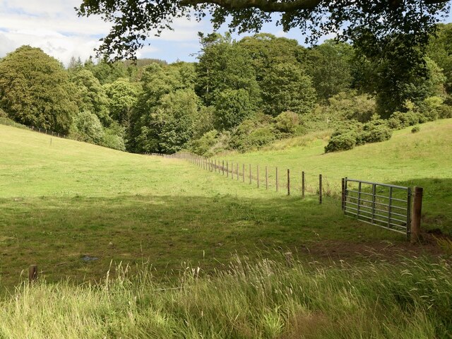
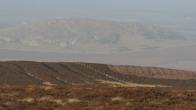
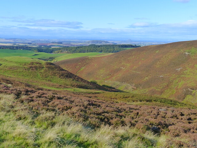
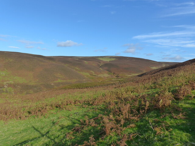
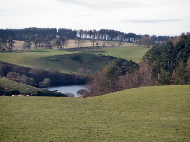
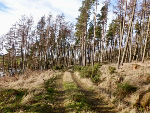
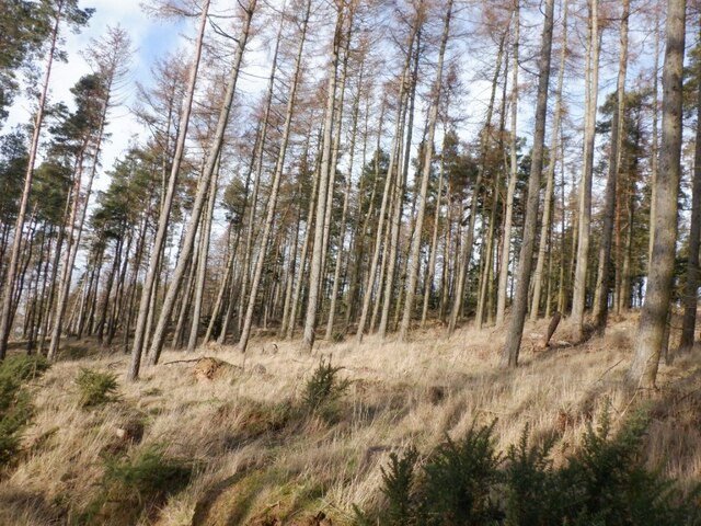
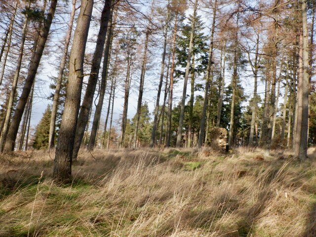
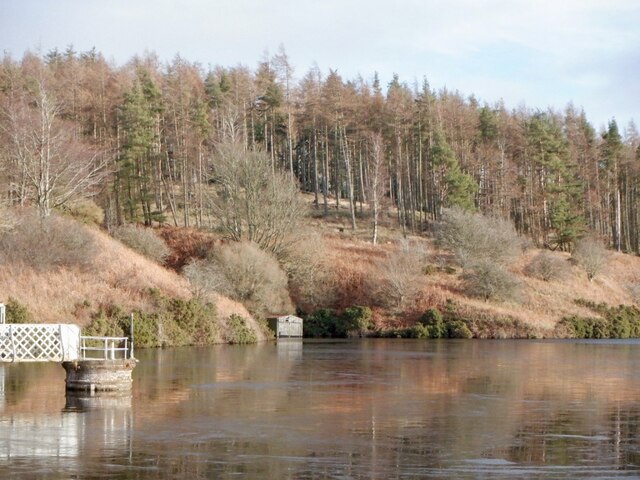
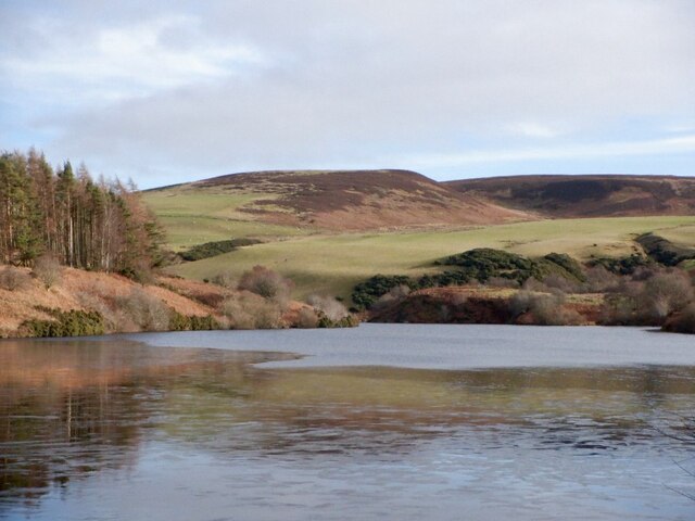
Robin Tup's Plantation is a sprawling woodlands located in East Lothian, Scotland. Covering an extensive area, it is renowned for its stunning natural beauty and rich biodiversity. The plantation boasts a diverse range of trees, including oak, beech, and pine, creating a serene and picturesque landscape.

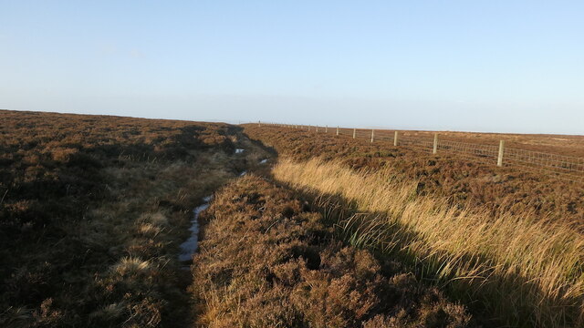
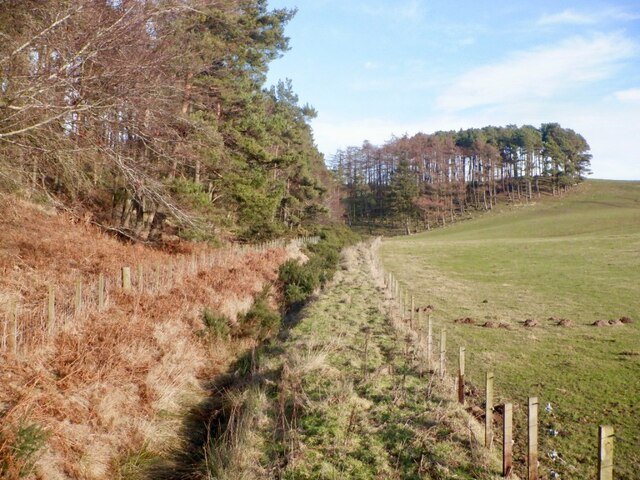
Situated in the heart of East Lothian, the plantation attracts nature enthusiasts, hikers, and photographers alike. Its well-maintained trails offer visitors the opportunity to explore and immerse themselves in the tranquility of the forest. The dense canopy provides ample shade, making it an ideal spot for peaceful walks during warm summer days.

The plantation is also home to a variety of wildlife, including roe deer, badgers, and various bird species. Birdwatchers will be delighted to spot woodpeckers, jays, and buzzards in their natural habitat. Additionally, the diverse ecosystem supports a wide array of flora, with a carpet of wildflowers adding vibrant splashes of color to the forest floor.

The management of Robin Tup's Plantation is committed to preserving the natural environment and actively engages in sustainable forestry practices. The plantation serves as a working forest, with periodic timber harvesting carried out to ensure the health and longevity of the woodland. These practices are carefully balanced to maintain the plantation's ecological integrity while also providing a renewable resource.

Overall, Robin Tup's Plantation is a treasure trove of natural beauty, offering visitors an opportunity to escape the hustle and bustle of everyday life and immerse themselves in the tranquil embrace of nature.

If you have any feedback on the listing, please let us know in the comments section below.

Robin Tup's Plantation Images

Images are sourced within 2km of 55.923618/-2.6297502 or Grid Reference NT6070. Thanks to Geograph Open Source API. All images are credited.

Spring barley, Nunraw
Pasture, Nunraw
Pasture, Nunraw
Stoneypath to Johnscleugh track An old route over the Lammermuir Hills with Traprain Law in the background.
Stoneypath to Johnscleugh track
An old route over the Lammermuir Hills with Traprain Law in the background.
Track, Clints Dod An old route with parallel gullies on the steeper bits suggesting usage over time. Now this section is little used and a bit heathery.
Track, Clints Dod
An old route with parallel gullies on the steeper bits suggesting usage over time. Now this section is little used and a bit heathery.
A single track road with passing places as it leaves the valley of Whiteadder Water The photo was taken from a stopping place for White Castle Fort.
A single track road with passing places as it leaves the valley of Whiteadder Water
The photo was taken from a stopping place for White Castle Fort.
Crash barriers at roadside close to White Castle Fort The side of this single track road is particularly steep close to the fort, as the contour lines on the Ordnance Survey map demonstrate.
Crash barriers at roadside close to White Castle Fort
The side of this single track road is particularly steep close to the fort, as the contour lines on the Ordnance Survey map demonstrate.
White Castle Fort and the valley of the Thorter Burn, near Garvald The photo was taken just a few metres away from the watershed between the valley of Whiteadder Water, and the valley of the Thorter Burn
White Castle Fort and the valley of the Thorter Burn, near Garvald
The photo was taken just a few metres away from the watershed between the valley of Whiteadder Water, and the valley of the Thorter Burn
White Castle Fort, near Garvald, East Lothian The valley of Thorter Burn can also be seen.
White Castle Fort, near Garvald, East Lothian
The valley of Thorter Burn can also be seen.
Looking across to the headwaters of the Thorter Burn, near Garvald
View towards Thorters Reservoir
Ditch, edge of Langlands Plantation
Track, Langlands Plantation The mapped road is blocked by windthrow further north, but there is a through route to the Thorters Reservoir dam.
Track, Langlands Plantation
The mapped road is blocked by windthrow further north, but there is a through route to the Thorters Reservoir dam.
Larches, Langlands Plantation
Ruin, Langlands Plantation Above Thorters Reservoir. It is shown as a ruin in open land on an 1853 map but not on any later editions.
Ruin, Langlands Plantation
Above Thorters Reservoir. It is shown as a ruin in open land on an 1853 map but not on any later editions.
Thorters Reservoir spillway Reservoir built to supply North Berwick.
Thorters Reservoir spillway
Reservoir built to supply North Berwick.
Thorters Reservoir Reservoir built to supply North Berwick.
Thorters Reservoir
Reservoir built to supply North Berwick.
Thorters Reservoir Reservoir built to supply North Berwick.
Thorters Reservoir
Reservoir built to supply North Berwick.
Thorters Reservoir Reservoir built to supply North Berwick.
Thorters Reservoir
Reservoir built to supply North Berwick.
Show me another place!

Robin Tup's Plantation is located at Grid Ref: NT6070 (Lat: 55.923618, Lng: -2.6297502)

Unitary Authority: East Lothian

Police Authority: The Lothians and Scottish Borders

What 3 Words

///organ.outlast.bearable. Near East Linton, East Lothian

Related Wikis

Sancta Maria Abbey, Nunraw

Nunraw Abbey or Sancta Maria Abbey, Nunraw is a working Trappist (Ordo Cisterciensis Strictioris Observantiae) monastery. It was the first Cistercian house...

Stoneypath Tower

Stoneypath Tower, is an L-plan tower house dating from the late sixteenth century, about 3.5 miles (5.6 km) south of East Linton, and east of the Whittinghame...

Garvald, East Lothian

Garvald is a village south-east of Haddington in East Lothian, Scotland. It lies on the Papana Water south of the B6370, east of Gifford. The combined...

Whittingehame Tower

Whittingehame Tower, or Whittingehame Castle, is a fifteenth-century tower house about 2.5 miles (4.0 km) south of East Linton, on the west bank of Whittinghame...

Nearby Amenities

Located within 500m of 55.923618,-2.6297502
Newmains Hill
Natural: peak
Lat/Long: 55.9248148/-2.6325989
The data included in this document is from www.openstreetmap.org. The data is made available under ODbL.

Have you been to Robin Tup's Plantation?

Leave your review of Robin Tup's Plantation below (or comments, questions and feedback).