Newmains Hill
Hill, Mountain in East Lothian
Scotland
Newmains Hill

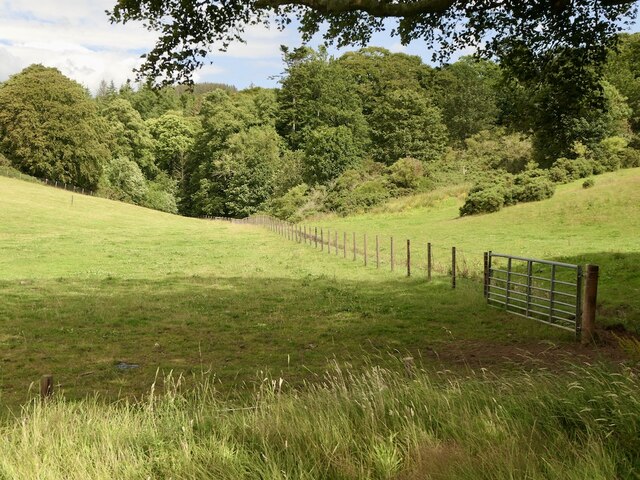
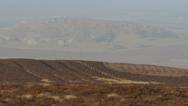
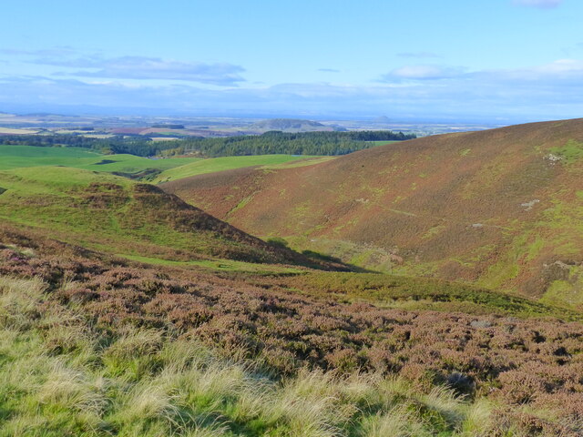
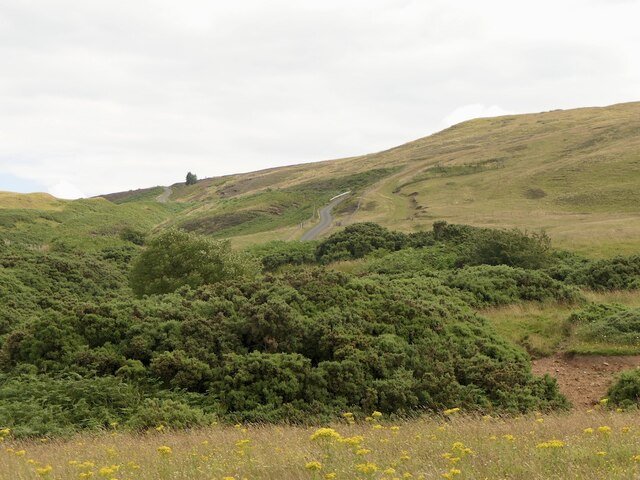
Newmains Hill is a prominent hill located in East Lothian, Scotland. Rising to an elevation of approximately 218 meters (715 feet) above sea level, it offers stunning panoramic views of the surrounding countryside and coastline. The hill is situated near the village of Newmains, just a few miles northeast of the town of Haddington.
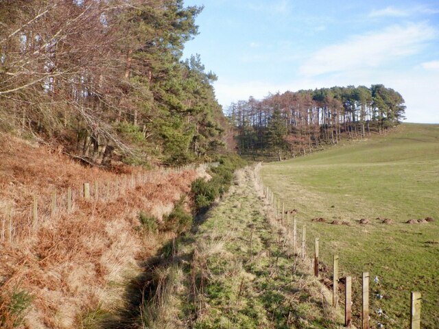
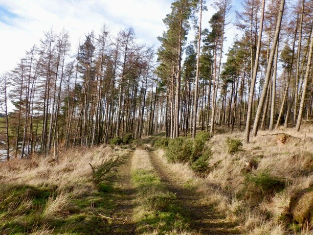
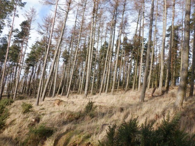
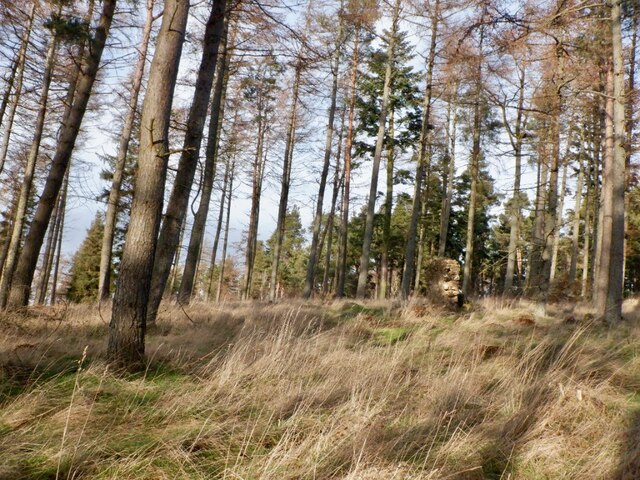
Covered in lush green vegetation, Newmains Hill is a popular destination for outdoor enthusiasts and nature lovers. It is home to a variety of native plant species, including heather, gorse, and wildflowers, which create a vibrant and picturesque landscape. The hill also provides a habitat for numerous bird species, making it an excellent spot for birdwatching.
The ascent to the summit of Newmains Hill is moderately challenging, with several well-marked paths leading to the top. As visitors climb higher, they can enjoy breathtaking views of the East Lothian countryside, the Firth of Forth, and even the distant peaks of the Scottish Highlands on clear days. The hill is surrounded by rolling farmland, adding to its scenic beauty.
Newmains Hill is visited by walkers, hikers, and runners who enjoy its peaceful and tranquil atmosphere. It offers a serene and secluded setting, away from the hustle and bustle of urban life. The hill is also popular with photographers, who are drawn to its natural beauty and the stunning vistas it provides.
In conclusion, Newmains Hill is a picturesque hill in East Lothian, Scotland, offering breathtaking views, diverse flora and fauna, and a peaceful escape into nature. Whether it is for a leisurely walk or a challenging hike, this hill is a must-visit destination for outdoor enthusiasts seeking to immerse themselves in the beauty of the Scottish countryside.
If you have any feedback on the listing, please let us know in the comments section below.
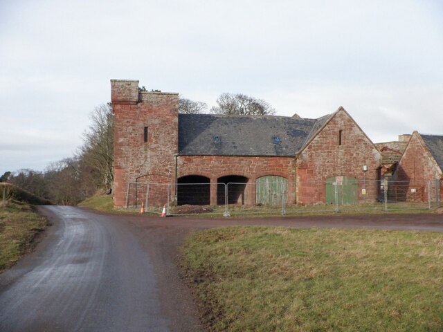
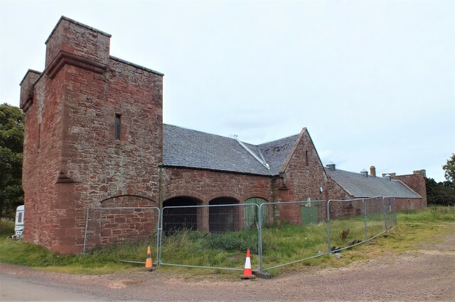
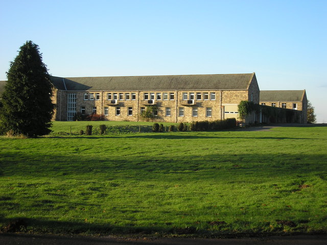
Newmains Hill Images
Images are sourced within 2km of 55.924508/-2.6330292 or Grid Reference NT6070. Thanks to Geograph Open Source API. All images are credited.


Newmains Hill is located at Grid Ref: NT6070 (Lat: 55.924508, Lng: -2.6330292)
Unitary Authority: East Lothian
Police Authority: The Lothians and Scottish Borders
What 3 Words
///agency.corn.tripped. Near East Linton, East Lothian
Nearby Locations
Related Wikis
Sancta Maria Abbey, Nunraw
Nunraw Abbey or Sancta Maria Abbey, Nunraw is a working Trappist (Ordo Cisterciensis Strictioris Observantiae) monastery. It was the first Cistercian house...

Stoneypath Tower
Stoneypath Tower, is an L-plan tower house dating from the late sixteenth century, about 3.5 miles (5.6 km) south of East Linton, and east of the Whittinghame...

Garvald, East Lothian
Garvald is a village south-east of Haddington in East Lothian, Scotland. It lies on the Papana Water south of the B6370, east of Gifford. The combined...

Whittingehame Tower
Whittingehame Tower, or Whittingehame Castle, is a fifteenth-century tower house about 2.5 miles (4.0 km) south of East Linton, on the west bank of Whittinghame...

Whittingehame
Whittingehame is a parish with a small village in East Lothian, Scotland, about halfway between Haddington and Dunbar, and near East Linton. The area is...

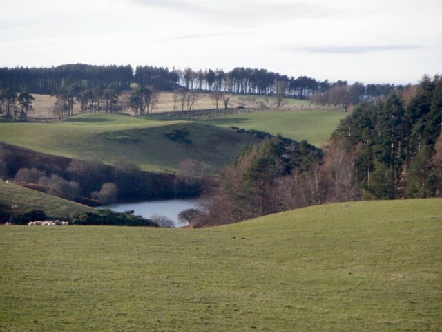
Pressmennan Lake
Pressmennan Lake is a lake in East Lothian in Scotland. It is an artificial reservoir constructed in 1819 by a Mr Nesbit who dammed the streams flowing...

Bara, East Lothian
Bara, anciently spelt Baro, is an agricultural parish in East Lothian, Scotland, which adjoins the parish of Garvald to the east, and Lauder across the...

Stenton
Stenton (Scots: Staneton) is a parish and village in East Lothian, Scotland. It is bounded on the north by parts of the parishes of Prestonkirk and Dunbar...
Related Videos

Searching for Thorter Burn Waterfall - Hidden Waterfall in East Lothian, Scotland
Join me on a quest to find Thorter Burn Waterfall. It's hard to find. You could say it's a hidden waterfall. A hidden waterfall in East ...

Pressmennan Wood in East Lothian
Pressmennan Wood is a gorgeous woodland area in rural East Lothian that runs alongside a ribbon-shaped lake that offers quiet ...
Nearby Amenities
Located within 500m of 55.924508,-2.6330292Have you been to Newmains Hill?
Leave your review of Newmains Hill below (or comments, questions and feedback).