Bannock Hill

Hill, Mountain in Kincardineshire

Scotland

Bannock Hill

Craig of Harestone, North of Edzell
Craig of Harestone, North of Edzell Credit: David G Campbell

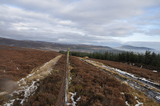
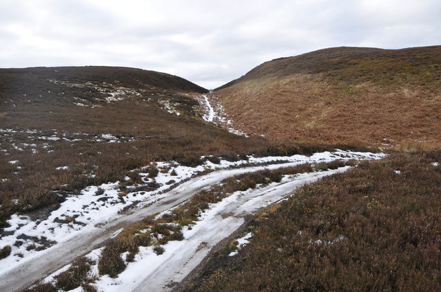
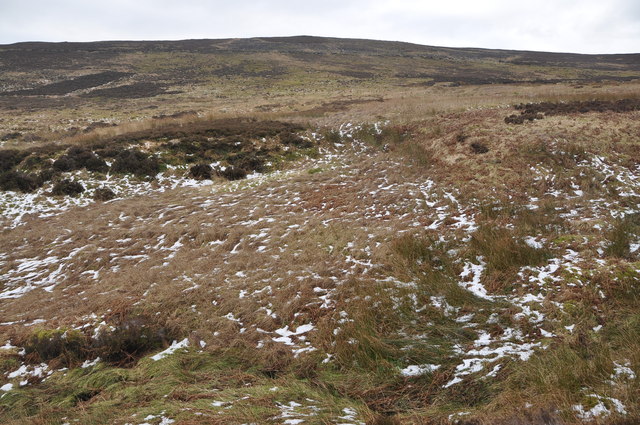
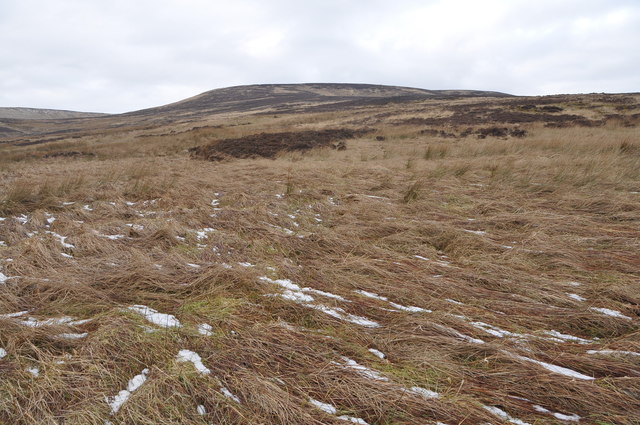
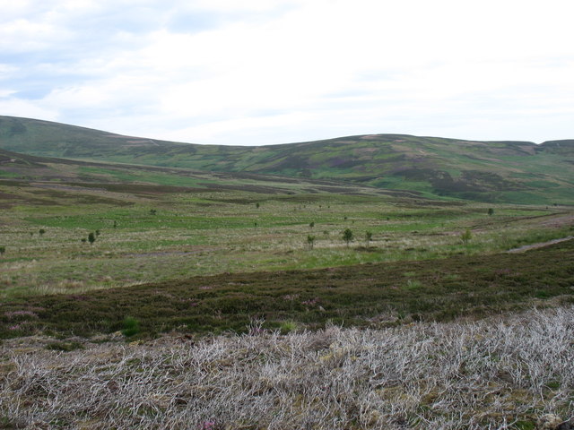
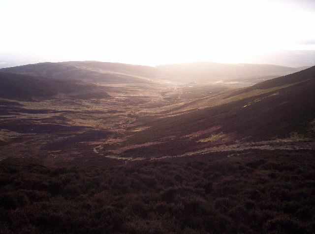
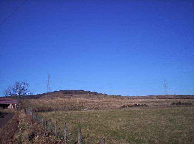
Bannock Hill, located in Kincardineshire, Scotland, is an impressive hill that stands at an elevation of 463 meters (1,519 feet). Situated near the town of Stonehaven, the hill is a part of the larger Grampian Mountains range. It offers breathtaking panoramic views of the surrounding countryside and the North Sea.

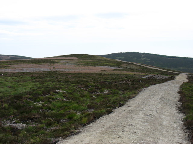
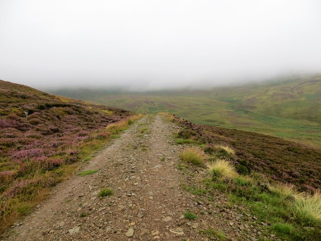
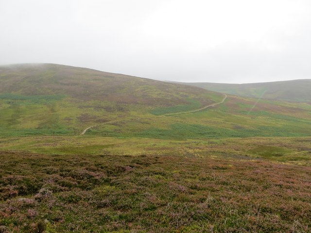
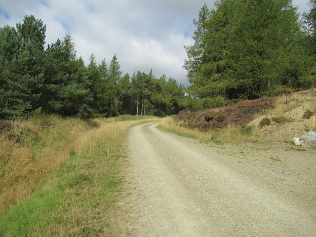
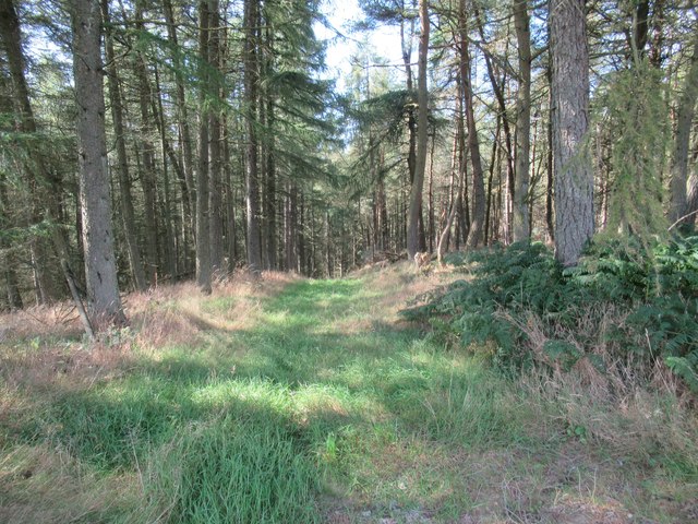
The hill is a popular destination for outdoor enthusiasts and hikers due to its accessibility and diverse flora and fauna. The ascent to the summit is relatively moderate, with well-maintained trails that offer a pleasant hiking experience for visitors of all abilities. Along the way, hikers can enjoy the sight of heather-covered slopes, native Scottish wildflowers, and occasional wildlife sightings.

At the top of Bannock Hill, hikers are rewarded with stunning vistas that stretch across the rolling hills, farmland, and coastline. On clear days, it is even possible to see as far as the cities of Aberdeen and Dundee. The summit also provides a fantastic viewpoint to witness the sunset, creating a magical atmosphere.

Historically, Bannock Hill has played a significant role in the region. It is believed to have been a site of ancient battles and is said to have been named after a traditional Scottish bread called bannock, which was supposedly baked by soldiers during times of conflict. The hill's rich history and natural beauty make it a cherished landmark in Kincardineshire, attracting both locals and tourists alike.

If you have any feedback on the listing, please let us know in the comments section below.
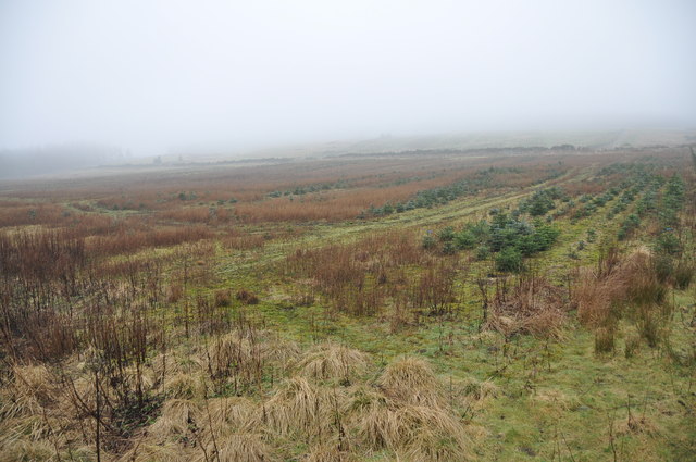
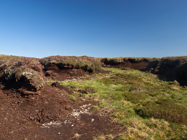
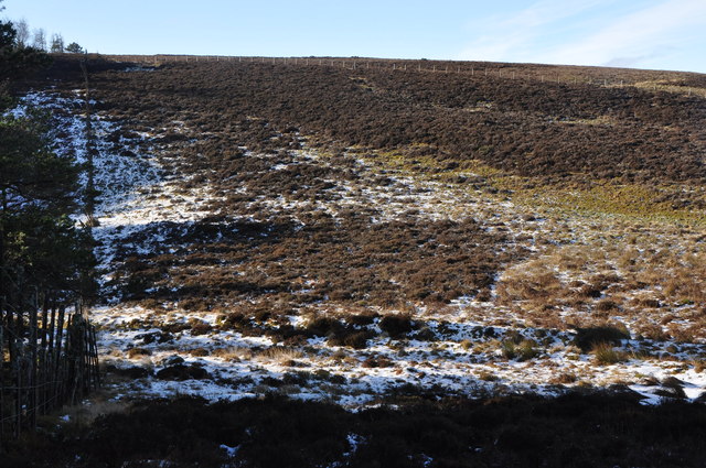
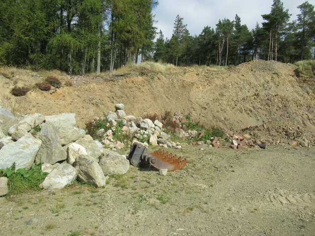
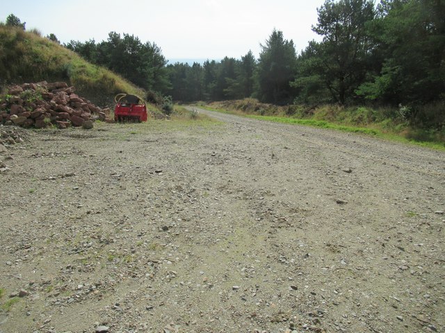
Bannock Hill Images

Images are sourced within 2km of 56.874212/-2.6488806 or Grid Reference NO6076. Thanks to Geograph Open Source API. All images are credited.

Craig of Harestone, North of Edzell
South of Bannock Hill, North of Edzell Track across centre, for access to grouse moorland, and a saddle between 2 small hills in the background.
South of Bannock Hill, North of Edzell
Track across centre, for access to grouse moorland, and a saddle between 2 small hills in the background.
Bannock Hill, North of Edzell Open moorland showing patchwork pattern of heather as a result of periodic burning of areas of the grouse moor.
Bannock Hill, North of Edzell
Open moorland showing patchwork pattern of heather as a result of periodic burning of areas of the grouse moor.
Moorland North of Edzell Open grassland, moorland and bogs, flattened grass still recovering from recent snowfalls.
Moorland North of Edzell
Open grassland, moorland and bogs, flattened grass still recovering from recent snowfalls.
Conifer Plantation, North of Edzell The Wood of Balfour lies in the mist just visible on the horizon, this plantation of young conifers may be a future extension of it.
Conifer Plantation, North of Edzell
The Wood of Balfour lies in the mist just visible on the horizon, this plantation of young conifers may be a future extension of it.
Peat Deposits near Slack Pool Extensive deposits of peat near Slack Pool. Peatlands sequester large amounts of carbon and have been dubbed "global coolers" by environmental organisations.
Peat Deposits near Slack Pool
Extensive deposits of peat near Slack Pool. Peatlands sequester large amounts of carbon and have been dubbed "global coolers" by environmental organisations.
Manach Hill, North of Edzell Forest boundary to Left (West) and Grouse moor on the East slopes of Manach Hill
Manach Hill, North of Edzell
Forest boundary to Left (West) and Grouse moor on the East slopes of Manach Hill
Saddle Hill Saddle Hill is a very minor summit on the south-east ridge of Maolearn.
There are many new tracks in this region which are not shown on the Ordnance Survey maps. These make access much easier, but at the cost of conspicuous scars on the hillside.
Saddle Hill
Saddle Hill is a very minor summit on the south-east ridge of Maolearn. There are many new tracks in this region which are not shown on the Ordnance Survey maps. These make access much easier, but at the cost of conspicuous scars on the hillside.
The south-east slopes of Maolearn Leading to Saddle Hill to the right.
The south-east slopes of Maolearn
Leading to Saddle Hill to the right.
Hill track on the lower slopes of Maolearn The track goes a lot further than is shown on the OS map
Hill track on the lower slopes of Maolearn
The track goes a lot further than is shown on the OS map
Moorland and hill tracks The Burn of Corbrack is where the track appears in the foreground
Moorland and hill tracks
The Burn of Corbrack is where the track appears in the foreground
Quarry above Upper Thainstone by Fettercairn
Track gaun hine awa above Upper Thainstone on Gladstone's Fasque estate
Quarry above Upper Thainstone
Trackside quarry above Upper Thainstone by Fettercairn
Path/track off main quarry track above Upper Thainstone
Coire between Maolearn and Sturdy Hill Saddle Hill and Bannock Hill in the distance.
Coire between Maolearn and Sturdy Hill
Saddle Hill and Bannock Hill in the distance.
Hill beside Mains of Balfour
Show me another place!

Bannock Hill is located at Grid Ref: NO6076 (Lat: 56.874212, Lng: -2.6488806)

Unitary Authority: Aberdeenshire

Police Authority: North East

What 3 Words

///incurring.rebounded.mothering. Near Laurencekirk, Aberdeenshire

Nearby Locations

Bannock Hill

Related Wikis

Fasque House

Fasque, also known as Fasque House or Fasque Castle, is a mansion in Aberdeenshire, Scotland, situated near the village of Fettercairn, in the former county...

Colmeallie stone circle

The Colmeallie stone circle is a recumbent stone circle in Glen Esk, Angus, Scotland. It is located 8 km north of Edzell at Colmeallie Farm, adjacent to...

Fettercairn distillery

Fettercairn distillery is a whisky distillery in Fettercairn. Situated under the Grampian foothills in the Howe of Mearns, Fettercairn town’s name is...

Fettercairn

Fettercairn (, Scottish Gaelic: Fothair Chàrdain) is a small village in Aberdeenshire, Scotland, northwest of Laurencekirk in Aberdeenshire on the B966...

Have you been to Bannock Hill?

Leave your review of Bannock Hill below (or comments, questions and feedback).