Park Hill

Hill, Mountain in Westmorland South Lakeland

England

Park Hill

Carrfoot Lodge The lodge was that of Rigmaden Park that stretches about 1.2km south from this junction. See <a href="https://www.geograph.org.uk/photo/6816094">SD6185 : Carrfoot Lodge</a> for a closer view taken earlier the same year.
Carrfoot Lodge Credit: Stephen Craven

Park Hill is a prominent hill located in the Westmorland region in the United Kingdom. Situated in the Lake District National Park, it is known for its breathtaking natural beauty and captivating views. With an elevation of approximately 1,400 feet (426 meters), Park Hill is a popular destination for hikers, nature enthusiasts, and photographers.

The hill is characterized by its distinctive shape, resembling a dome, and its grassy slopes are dotted with scattered rocks and boulders. It is surrounded by lush greenery, including heather moorland, oak woodlands, and wildflowers, creating a vibrant and diverse ecosystem.

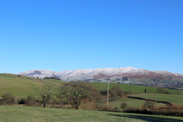
At the summit of Park Hill, visitors are rewarded with panoramic views of the surrounding landscape. On a clear day, one can see the majestic peaks of the Lake District, such as Scafell Pike, the highest mountain in England. The view also extends to the shimmering waters of Lake Windermere and the picturesque valleys below.

Aside from its natural beauty, Park Hill holds historical significance. It is believed to have been a site of human activity for thousands of years, with numerous archaeological finds in the area. The hill also boasts remnants of ancient stone circles and burial mounds, providing glimpses into the region's rich past.

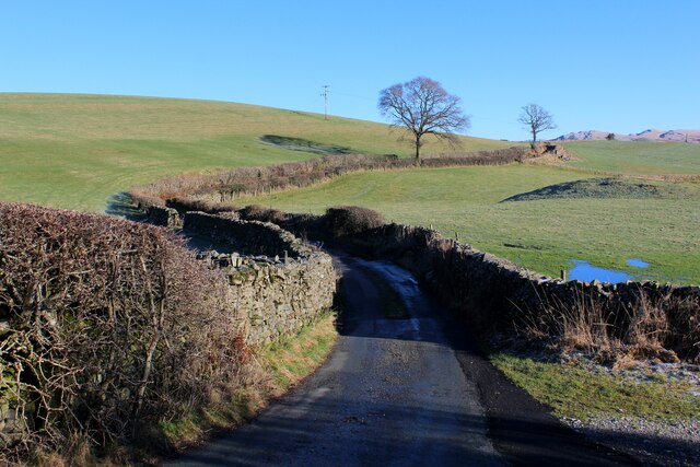
Access to Park Hill is available via various walking paths and trails, catering to different difficulty levels. The hill offers a serene and tranquil escape from the bustling cities, allowing visitors to immerse themselves in the stunning natural surroundings and experience the true essence of the Lake District.

If you have any feedback on the listing, please let us know in the comments section below.
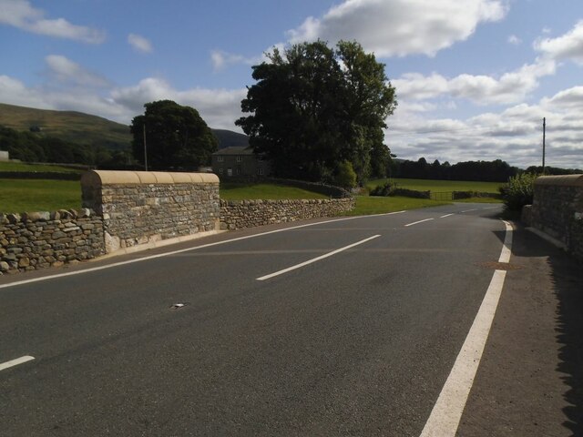
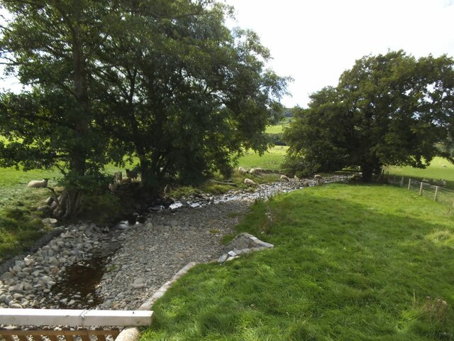
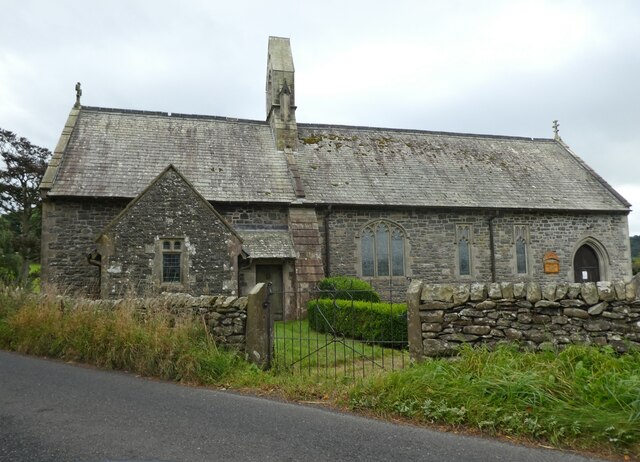
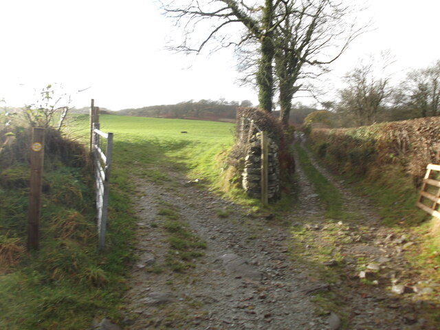
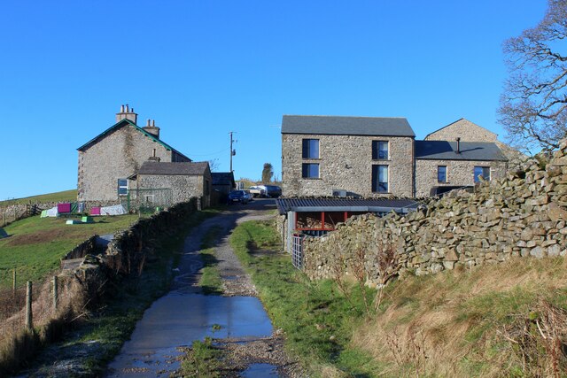
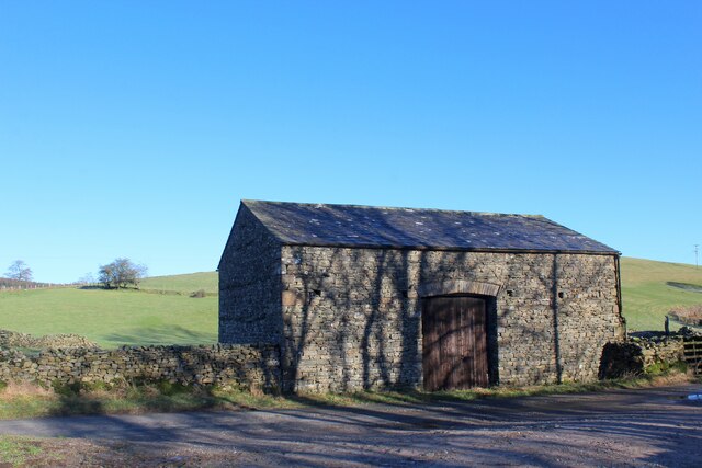
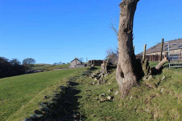
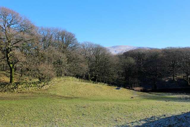
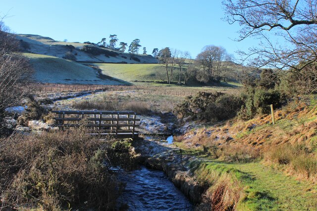
Park Hill Images

Images are sourced within 2km of 54.275835/-2.6073187 or Grid Reference SD6086. Thanks to Geograph Open Source API. All images are credited.

Carrfoot Lodge The lodge was that of Rigmaden Park that stretches about 1.2km south from this junction. See <a href="https://www.geograph.org.uk/photo/6816094">SD6185 : Carrfoot Lodge</a> for a closer view taken earlier the same year.
Carrfoot Lodge
The lodge was that of Rigmaden Park that stretches about 1.2km south from this junction. See SD6185 : Carrfoot Lodge for a closer view taken earlier the same year.
Sheep at Rigmaden Farm Grazing on a level field part way up the west slope of Lonsdale.
Sheep at Rigmaden Farm
Grazing on a level field part way up the west slope of Lonsdale.
The rebuilt Middleton Hall Bridge The bridge carries the A683 over what is normally a minor beck <a href="https://www.geograph.org.uk/photo/6814291">SD6287 : The Middleton Hall Beck</a>.  But it was damaged by 'Storm Desmond' in December 2015 and after a few years of a temporary bridge, this permanent replacement opened on 2 August 2019.  It cost £550,000 and is constructed from pre-cast concrete, with rock armour on the bank of the stream  to protect the bridge from future scouring. Source: <span class="nowrap"><a title="https://news.cumbria.gov.uk/News/2019/middletonhallbridgereplacementsettoopen.aspx" rel="nofollow ugc noopener" href="https://news.cumbria.gov.uk/News/2019/middletonhallbridgereplacementsettoopen.aspx">Link</a><img style="margin-left:2px;" alt="External link" title="External link - shift click to open in new window" src="https://s1.geograph.org.uk/img/external.png" width="10" height="10"/></span>
The rebuilt Middleton Hall Bridge
The bridge carries the A683 over what is normally a minor beck SD6287 : The Middleton Hall Beck. But it was damaged by 'Storm Desmond' in December 2015 and after a few years of a temporary bridge, this permanent replacement opened on 2 August 2019. It cost £550,000 and is constructed from pre-cast concrete, with rock armour on the bank of the stream to protect the bridge from future scouring. Source: LinkExternal link
Middleton Hall Beck Normally a minor beck but as flash flood in 'Storm Desmond' in December 2015 was enough to destroy the road bridge which has since been rebuilt <a href="https://www.geograph.org.uk/photo/6983156">SD6287 : The rebuilt Middleton Hall Bridge</a>.
Middleton Hall Beck
Normally a minor beck but as flash flood in 'Storm Desmond' in December 2015 was enough to destroy the road bridge which has since been rebuilt SD6287 : The rebuilt Middleton Hall Bridge.
Church of the Holy Ghost, Middleton
Choice of paths The public footpath actually goes off to the left!
Choice of paths
The public footpath actually goes off to the left!
Minor Road in Rigmaden Park The road seen here rising towards the woodland of High Rigg Brown and Low Rigg Brown
Minor Road in Rigmaden Park
The road seen here rising towards the woodland of High Rigg Brown and Low Rigg Brown
View over Rigmaden and the Lune Valley View taking in a sweep of landscape over the Lune Valley towards Middleton Fell
View over Rigmaden and the Lune Valley
View taking in a sweep of landscape over the Lune Valley towards Middleton Fell
View towards the Howgill Fells
Track below Talebrigg Hill Bridleway crossing a patch of moorland towards the Old Scotch Road from Rigmaden
Track below Talebrigg Hill
Bridleway crossing a patch of moorland towards the Old Scotch Road from Rigmaden
Aikrigg Farm and other ancillary buildings located above Burns Beck near Killington
Aikrigg
Farm and other ancillary buildings located above Burns Beck near Killington
Stone Barn on the Access Road to Aikrigg
View towards the Howgill Fells from Aikrigg
Access Road to Aikrigg Part of the no through road terminating at Aikrigg from Old Scotch Road
Access Road to Aikrigg
Part of the no through road terminating at Aikrigg from Old Scotch Road
Bridleway heading towards Beckside Section of bridleway between Beckside and Aikrigg
Bridleway heading towards Beckside
Section of bridleway between Beckside and Aikrigg
Bridleway heading towards Aikrigg
Horseclose Wood
Horseclose Wood
Footbridge over Burns Beck A frosty scene below the farm at Aikrigg
Footbridge over Burns Beck
A frosty scene below the farm at Aikrigg
Show me another place!

Park Hill is located at Grid Ref: SD6086 (Lat: 54.275835, Lng: -2.6073187)

Administrative County: Cumbria

District: South Lakeland

Police Authority: Cumbria

What 3 Words

///resemble.salads.hawks. Near Sedbergh, Cumbria

Related Wikis

Beckside

Beckside is a village in Cumbria, England.

Middleton, Cumbria

Middleton is a village and a civil parish on the A683 road, in the South Lakeland district, in the county of Cumbria, England. Middleton has a church called...

Killington, Cumbria

Killington is a village and civil parish in the South Lakeland district of the county of Cumbria, England. It had a population of 152 in 2001, At the...

Middleton-on-Lune railway station

Middleton-on-Lune railway station was located in Westmorland, England, (now in Cumbria), serving the hamlet and rural locale of Middleton on the Ingleton...

Have you been to Park Hill?

Leave your review of Park Hill below (or comments, questions and feedback).