Belts of Airlie

Wood, Forest in Aberdeenshire

Scotland

Belts of Airlie

Priest's Wood Looking towards the woods that have had a battering by the wind over the last couple of years
Priest's Wood Credit: Ralph Greig

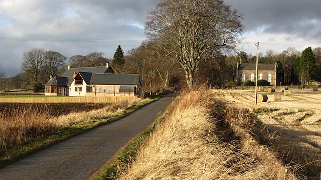
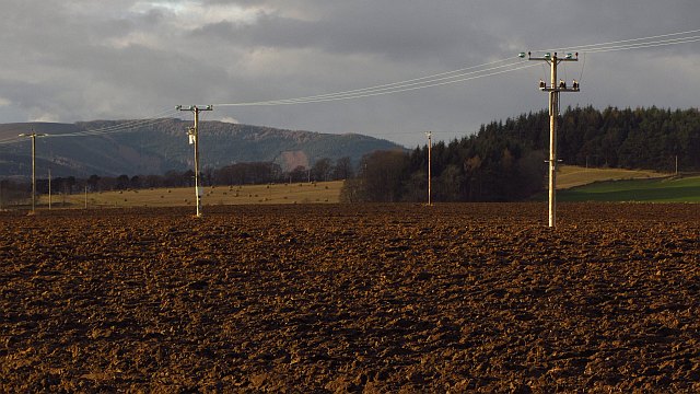
Belts of Airlie is a picturesque woodland located in Aberdeenshire, Scotland. It spans over a vast area, covering both sides of the River Isla, and is a popular destination for nature enthusiasts and outdoor adventurers alike.

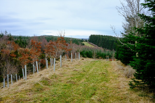
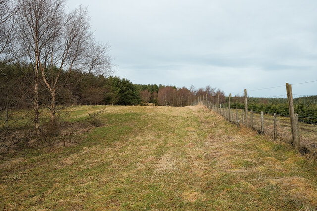
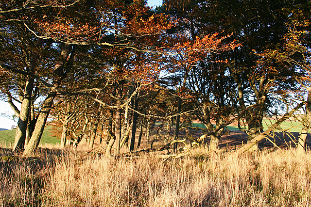
The woodland is characterized by its dense and ancient forest, consisting primarily of a variety of native tree species, including oak, birch, and pine. These towering trees provide a haven for a diverse range of wildlife, such as red squirrels, roe deer, and numerous bird species.

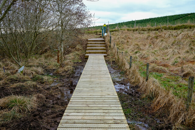
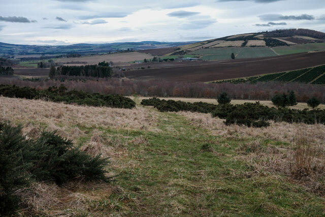
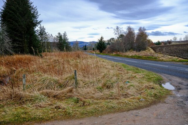
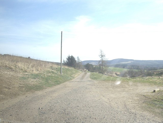
Belts of Airlie offers a network of well-maintained walking trails, allowing visitors to explore the enchanting woodland at their own pace. These trails wind through the forest, leading visitors along the riverbank, through open meadows, and into the heart of the wood, offering breathtaking views of the surrounding countryside.

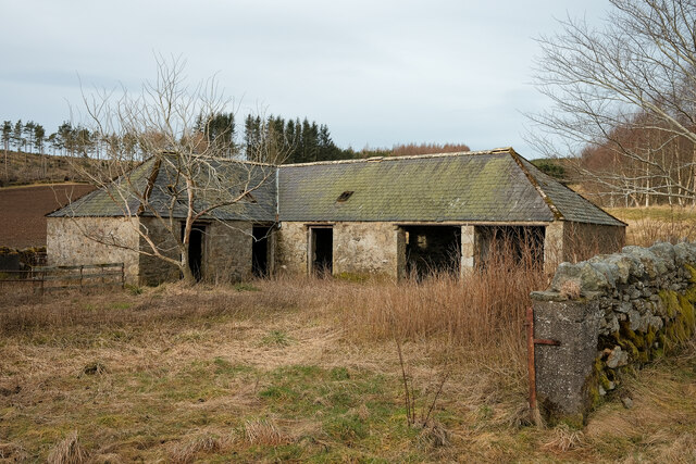
In addition to its natural beauty, Belts of Airlie also holds historical significance. The woodland is home to several ancient archaeological sites, including a stone circle and remnants of old settlements. These historical features provide a fascinating glimpse into the area's rich past.

Visitors to Belts of Airlie can expect a peaceful and serene atmosphere, as the woodland offers a tranquil escape from the hustle and bustle of everyday life. Whether it's a leisurely stroll, a picnic by the river, or simply immersing oneself in the beauty of nature, Belts of Airlie is a must-visit destination for anyone seeking solace and natural tranquility.

If you have any feedback on the listing, please let us know in the comments section below.

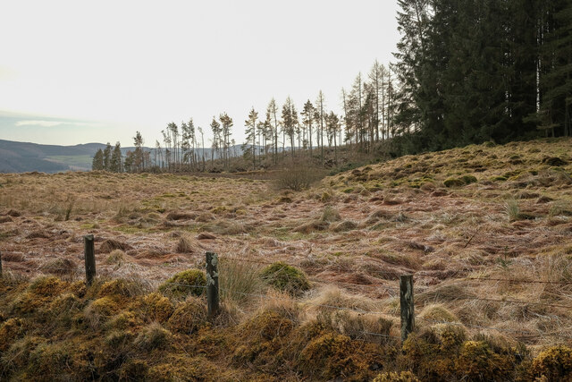
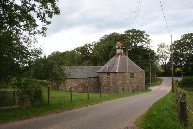
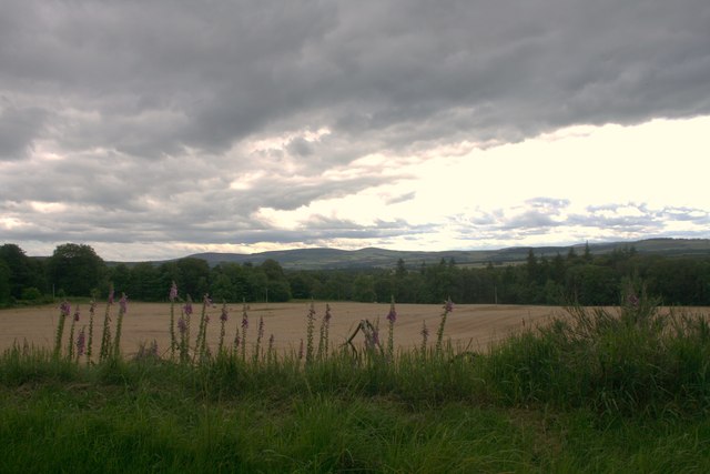
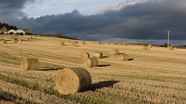
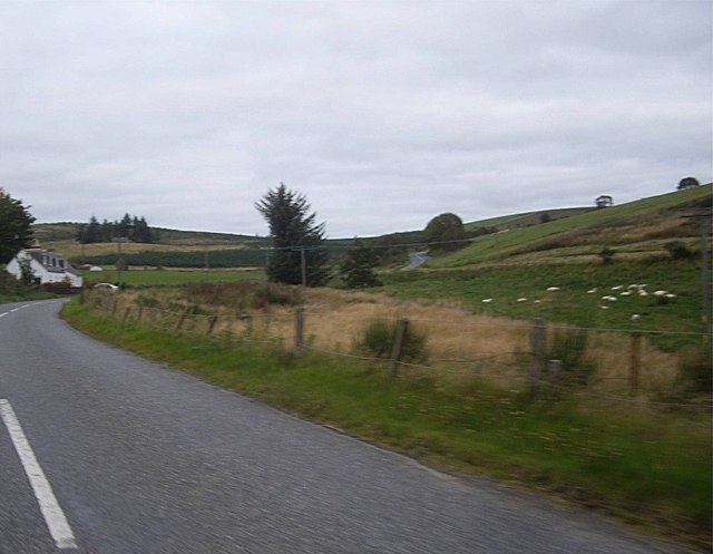
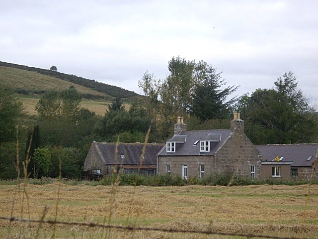
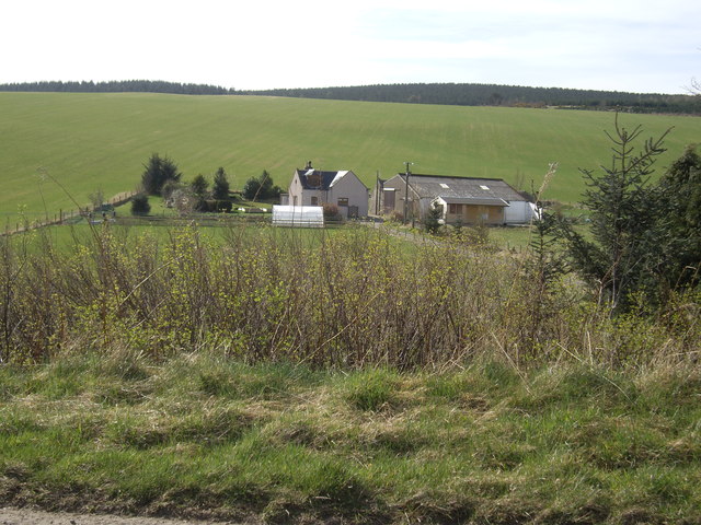
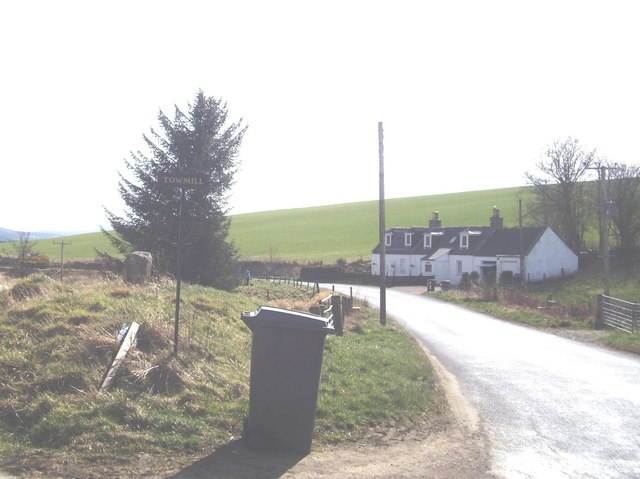
Belts of Airlie Images

Images are sourced within 2km of 57.271113/-2.661204 or Grid Reference NJ6020. Thanks to Geograph Open Source API. All images are credited.

Priest's Wood Looking towards the woods that have had a battering by the wind over the last couple of years
Priest's Wood
Looking towards the woods that have had a battering by the wind over the last couple of years
Mill of Keig The Mill of Keig sitting by a road junction.
Mill of Keig
The Mill of Keig sitting by a road junction.
Field and Wood Farmland and woodland near Keig.
Field and Wood
Farmland and woodland near Keig.
Stubble, Keig
Stubble, Keig
Minor road, Keig
Minor road, Keig
Power line, Keig
Power line, Keig
Knowhead old barn An old barn on the Gordon way
Knowhead old barn
An old barn on the Gordon way
Tree plantations Lots of different ages of trees
Tree plantations
Lots of different ages of trees
New Path on the gordon way I wish more of the Gordon way was like this.
New Path on the gordon way
I wish more of the Gordon way was like this.
More non-OS paths This well used good path not on the OS maps and makes for a good circuit with the Gordon Way
More non-OS paths
This well used good path not on the OS maps and makes for a good circuit with the Gordon Way
Car Park entrance The entrance to a spot for a few cars and an good place to start exploring the area
Car Park entrance
The entrance to a spot for a few cars and an good place to start exploring the area
The Gordon Way Part of the Gordon Way. This part just a grass path
The Gordon Way
Part of the Gordon Way. This part just a grass path
B992 climbing past Glenbrindy Cottage Between Keig and Auchleven.
B992 climbing past Glenbrindy Cottage
Between Keig and Auchleven.
Shunnies Seen from B992.
Shunnies
Seen from B992.
View of Damhead From B992.
View of Damhead
From B992.
Glenbrindy Cottage on B992
Track to Towmill From B992 near Glenbrindy Cottage.
Track to Towmill
From B992 near Glenbrindy Cottage.
Shelter Belt This belt of mature beeches runs down the slope between Old Keig and New Keig.
Shelter Belt
This belt of mature beeches runs down the slope between Old Keig and New Keig.
Show me another place!

Belts of Airlie is located at Grid Ref: NJ6020 (Lat: 57.271113, Lng: -2.661204)

Unitary Authority: Aberdeenshire

Police Authority: North East

What 3 Words

///happily.pheasants.magazines. Near Alford, Aberdeenshire

Related Wikis

Nearby Amenities

Located within 500m of 57.271113,-2.661204
Hill of Airlie
Ele: 283
Natural: peak
Lat/Long: 57.2690677/-2.6664098
The data included in this document is from www.openstreetmap.org. The data is made available under ODbL.

Have you been to Belts of Airlie?

Leave your review of Belts of Airlie below (or comments, questions and feedback).