Packman's Wood

Wood, Forest in Roxburghshire

Scotland

Packman's Wood

Bridge over Leader Water The river is soon to join the River Tweed.
Bridge over Leader Water Credit: Russel Wills

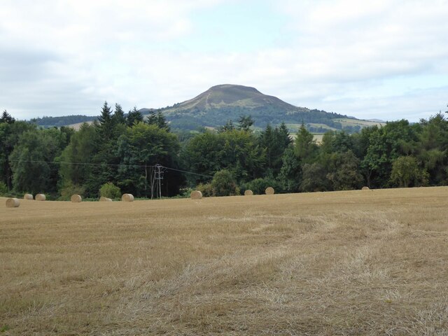
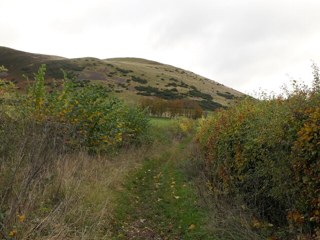
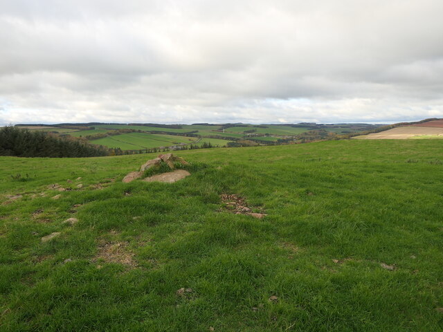
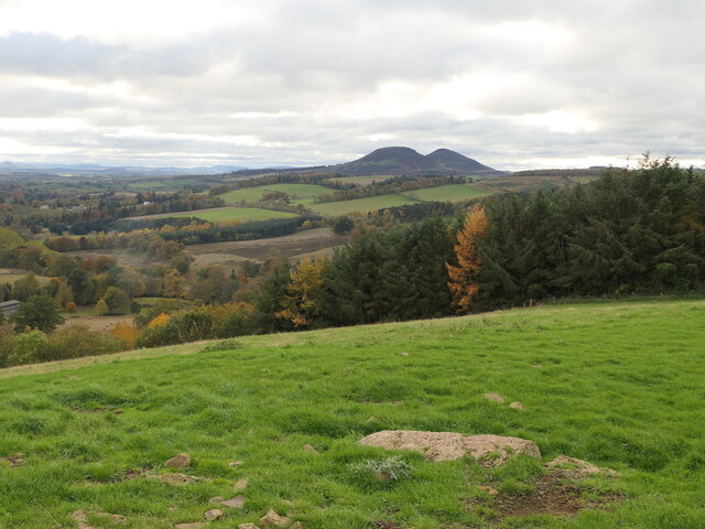
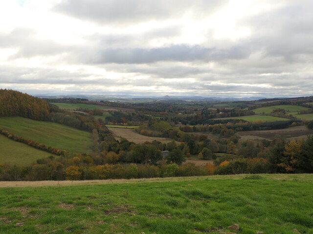
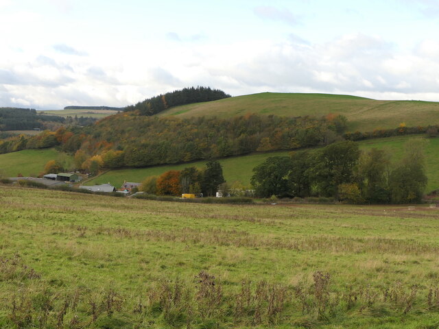
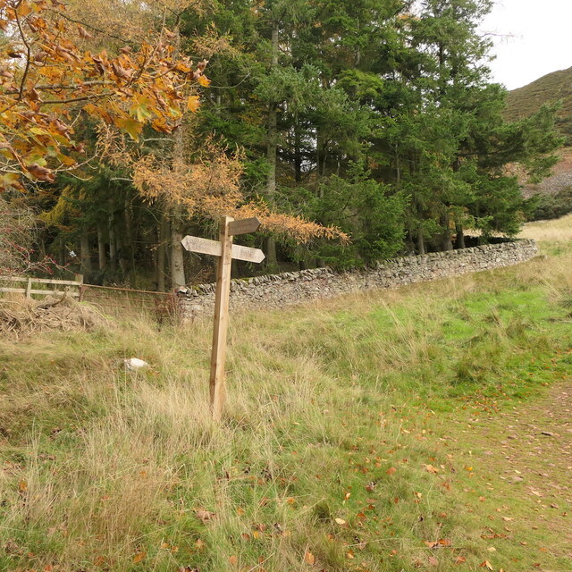
Packman's Wood is a captivating forest located in the scenic region of Roxburghshire, Scotland. Covering an expansive area of woodland, it is nestled amidst the breathtaking landscape of the Scottish Borders. The wood is renowned for its rich biodiversity, offering visitors a chance to immerse themselves in nature's wonders.

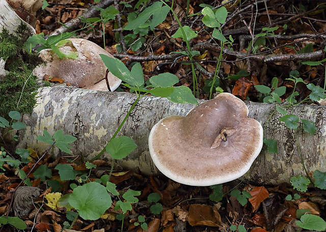
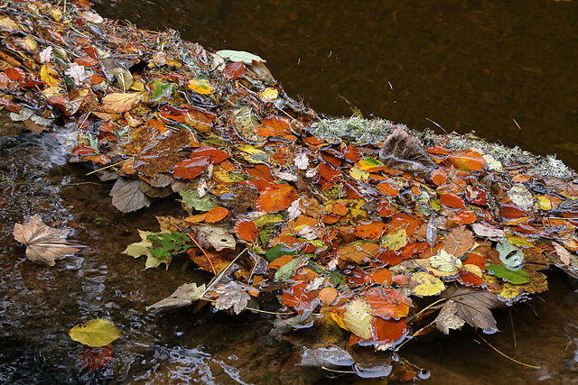
The forest is primarily composed of native tree species, including oak, birch, and beech, which create a dense and enchanting canopy overhead. This lush greenery provides a haven for a diverse range of flora and fauna. Nature enthusiasts flock to Packman's Wood to witness the vibrant wildflowers that paint the forest floor during spring, including bluebells and primroses.

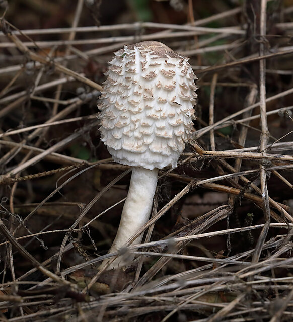
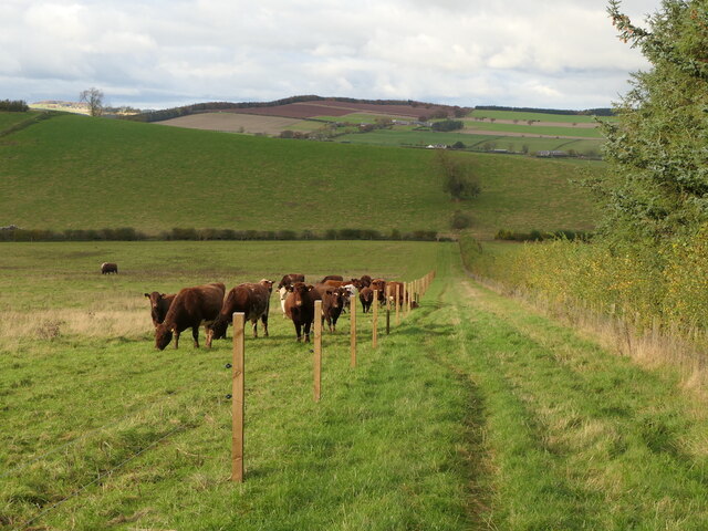
The wood is also home to a plethora of wildlife, making it a paradise for animal lovers and birdwatchers. Roe deer, red squirrels, and badgers are just a few of the creatures that can be spotted within the forest's depths. Bird species such as woodpeckers and owls can be heard echoing through the trees, adding to the ethereal atmosphere.

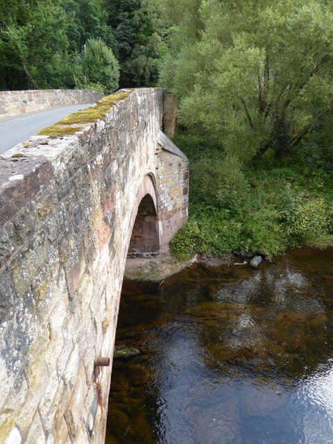
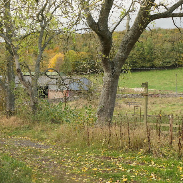
Visitors can explore Packman's Wood through a network of well-maintained walking trails, which cater to all levels of fitness. These trails wind through the forest, offering glimpses of picturesque streams and small waterfalls along the way.

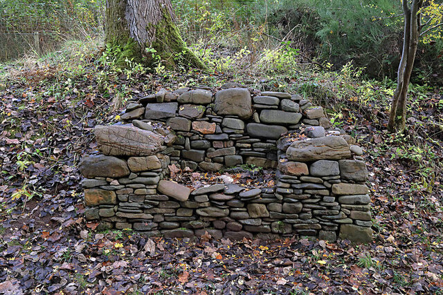
Packman's Wood is a popular destination for outdoor activities such as hiking, picnicking, and photography. Its serene and tranquil ambiance provides a much-needed respite from the hustle and bustle of everyday life. Whether seeking solitude or an adventure in nature, Packman's Wood is a must-visit for anyone looking to experience the beauty of Roxburghshire.

If you have any feedback on the listing, please let us know in the comments section below.

Packman's Wood Images

Images are sourced within 2km of 55.619854/-2.6754105 or Grid Reference NT5736. Thanks to Geograph Open Source API. All images are credited.

Bridge over Leader Water The river is soon to join the River Tweed.
Bridge over Leader Water
The river is soon to join the River Tweed.
Stubble field with cylindrical straw bales Eildon Hill North in the background.
Stubble field with cylindrical straw bales
Eildon Hill North in the background.
Birch polypore fungus (Fomitopsis betulinus) These common bracket fungi were on a fallen birch tree by the Leader Water.
Birch polypore fungus (Fomitopsis betulinus)
These common bracket fungi were on a fallen birch tree by the Leader Water.
A stone bench seat by the Leader Water For a view of the stone seat taken in March 2013, see <a href="https://www.geograph.org.uk/photo/3374614">NT5735 : A drystane bench seat by the Leader Water</a>.
A stone bench seat by the Leader Water
For a view of the stone seat taken in March 2013, see NT5735 : A drystane bench seat by the Leader Water.
Autumn leaves on the Leader Water The leaves have been snagged up on a fallen tree trunk in the river.
Autumn leaves on the Leader Water
The leaves have been snagged up on a fallen tree trunk in the river.
A shaggy parasol mushroom (Chlorophyllum rhacodes) This emerging mushroom was photographed in a coniferous wood near Redpath.
A shaggy parasol mushroom (Chlorophyllum rhacodes)
This emerging mushroom was photographed in a coniferous wood near Redpath.
Black Hill and access path Black Hill of Earlston and a popular ascent route by Cowdenknowes Mains.
Black Hill and access path
Black Hill of Earlston and a popular ascent route by Cowdenknowes Mains.
Summit, White Hill Above Earlston.
Summit, White Hill
Above Earlston.
On White Hill View across Lauderdale towards the Eildon Hills.
On White Hill
View across Lauderdale towards the Eildon Hills.
View down Lauderdale From White Hill.
View down Lauderdale
From White Hill.
White Hill, Earlston Above Cowdenknowes Mains.
White Hill, Earlston
Above Cowdenknowes Mains.
Path to Earlston from Cowdenknowes Mains A route off Black Hill passing a herd of shorthorns.
Path to Earlston from Cowdenknowes Mains
A route off Black Hill passing a herd of shorthorns.
Signpost below Black Hill A path heads north from here towards Earlston.
Signpost below Black Hill
A path heads north from here towards Earlston.
Path signpost, Cowdenknowes Mains
A misty Borders landscape This December view towards Black Hill was taken from Eildon Mid Hill.
A misty Borders landscape
This December view towards Black Hill was taken from Eildon Mid Hill.
Leaderfoot Viaduct and the River Tweed This is surely one of the most elegant viaducts in the UK?  The slenderness of the pillars, combined with their tapering heights make this a beautiful structure.
Leaderfoot Viaduct and the River Tweed
This is surely one of the most elegant viaducts in the UK? The slenderness of the pillars, combined with their tapering heights make this a beautiful structure.
Leaderfoot Viaduct and the River Tweed This is surely one of the most elegant viaducts in the UK? The slenderness of the pillars, combined with their tapering heights make this a beautiful structure.
Leaderfoot Viaduct and the River Tweed
This is surely one of the most elegant viaducts in the UK? The slenderness of the pillars, combined with their tapering heights make this a beautiful structure.
Trees beside Anniesfield House The road passing the trees is above the A68 close to Earlston.
Trees beside Anniesfield House
The road passing the trees is above the A68 close to Earlston.
Show me another place!

Packman's Wood is located at Grid Ref: NT5736 (Lat: 55.619854, Lng: -2.6754105)

Unitary Authority: The Scottish Borders

Police Authority: The Lothians and Scottish Borders

What 3 Words

///successor.spoil.overcomes. Near Earlston, Scottish Borders

Related Wikis

St Andrew's College, Drygrange

St Andrew's College, Drygrange, located near Melrose, Scotland, was a Roman Catholic seminary founded in 1953 and closed in 1986. == History == === Foundation... ===

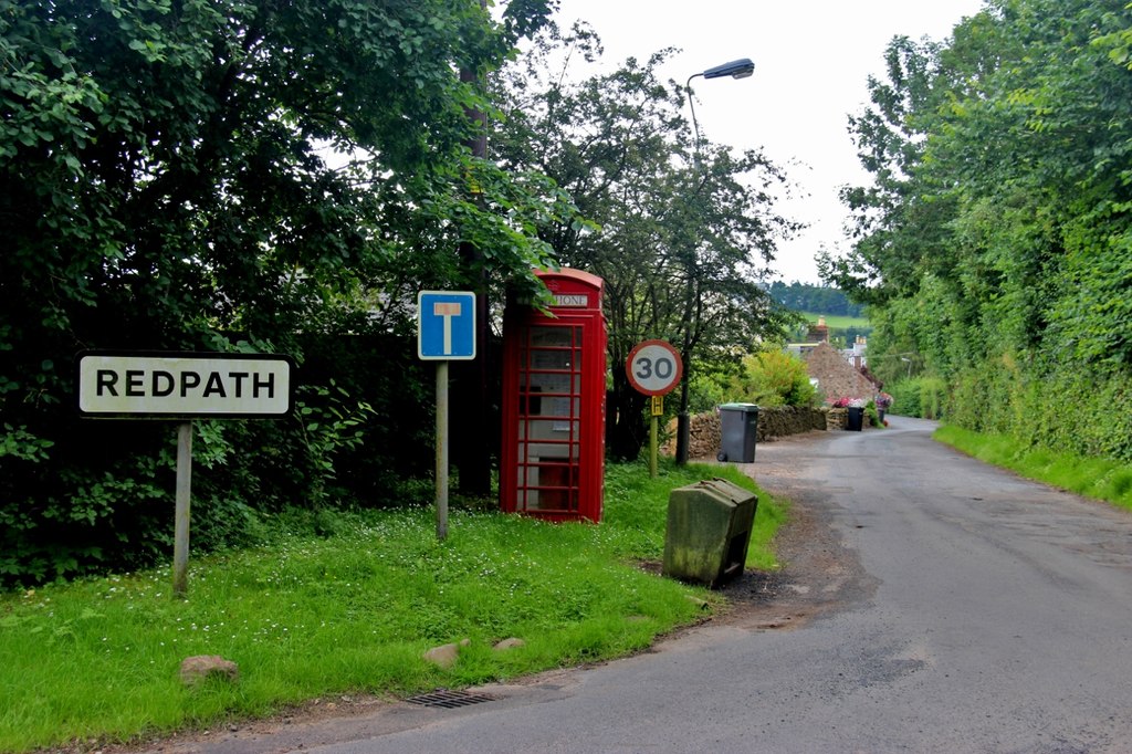
Redpath, Scottish Borders

Redpath (Scots: Rippath) is a small village located between the larger settlements of Earlston, 2 miles (3.2 km) to the north, and St Boswells, 3 miles...
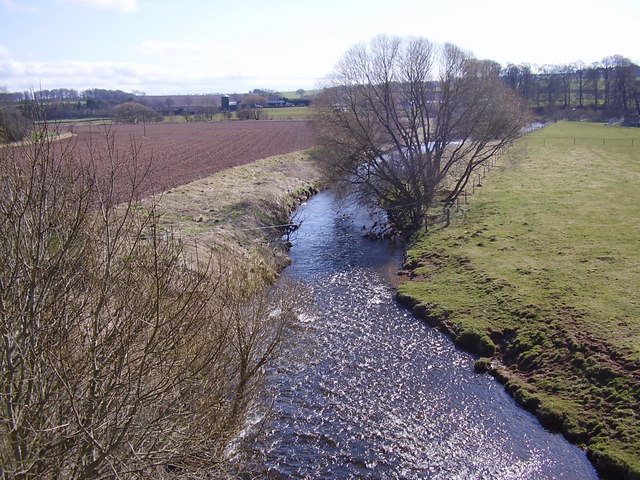
Leader Water

Leader Water is a small tributary of the River Tweed in Lauderdale in the Scottish Borders. It flows southwards from the Lammermuir Hills through the towns...
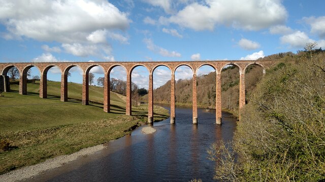
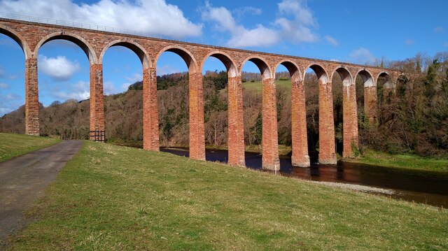
Leaderfoot Viaduct

The Leaderfoot Viaduct, also known as the Drygrange Viaduct, is a railway viaduct over the River Tweed near Melrose in the Scottish Borders. == History... ==

Nearby Amenities

Located within 500m of 55.619854,-2.6754105
Power: tower
Lat/Long: 55.6157862/-2.6738162
Power: tower
Lat/Long: 55.6159759/-2.6757368
Power: tower
Lat/Long: 55.6161494/-2.6774929
Bench
Lat/Long: 55.622027/-2.6735627
Bench
Lat/Long: 55.616456/-2.6711643
Bench
Lat/Long: 55.6233214/-2.6735002
Power: pole
Lat/Long: 55.615733/-2.6777219
Power: pole
Lat/Long: 55.6164474/-2.6780502
Power: pole
Lat/Long: 55.6171761/-2.6784294
Power: pole
Lat/Long: 55.6178717/-2.6787711
Material: wood
Power: pole
Lat/Long: 55.6187254/-2.6791904
Power: pole
Lat/Long: 55.6194357/-2.6795442
Power: pole
Lat/Long: 55.6201486/-2.679903
Power: pole
Lat/Long: 55.6208786/-2.680267
Power: pole
Lat/Long: 55.6215742/-2.6805978
Power: pole
Lat/Long: 55.6221749/-2.6807454
Power: pole
Lat/Long: 55.622777/-2.6808981
Power: pole
Lat/Long: 55.6180718/-2.6774037
Power: pole
Lat/Long: 55.6183233/-2.6758182
Power: pole
Lat/Long: 55.6182098/-2.6748714
Power: pole
Lat/Long: 55.618033/-2.6733647
Power: pole
Lat/Long: 55.6178519/-2.6718987
Power: pole
Lat/Long: 55.6176967/-2.6704709
Power: pole
Lat/Long: 55.6177154/-2.6694987
Power: pole
Lat/Long: 55.6177427/-2.6686156
Power: pole
Lat/Long: 55.6233289/-2.6798623
Power: pole
Lat/Long: 55.6232426/-2.6789079
Material: wood
Power: pole
Lat/Long: 55.623359/-2.6781851
Power: pole
Lat/Long: 55.6236163/-2.6773503
Power: pole
Lat/Long: 55.6181762/-2.6686045
Power: pole
Lat/Long: 55.6188165/-2.6685969
Power: pole
Lat/Long: 55.6194424/-2.668607
Power: pole
Lat/Long: 55.6199836/-2.6686019
Power: pole
Lat/Long: 55.6205133/-2.6685867
Power: pole
Lat/Long: 55.6216659/-2.6685841
Bench
Backrest: yes
Lat/Long: 55.6178998/-2.6696725
The data included in this document is from www.openstreetmap.org. The data is made available under ODbL.

Have you been to Packman's Wood?

Leave your review of Packman's Wood below (or comments, questions and feedback).