Stobbie Wood

Wood, Forest in Berwickshire

Scotland

Stobbie Wood

Woodland, Chapel on Leader Above a layby on the A86. Very green for November due to the very warm Autumn.
Woodland, Chapel on Leader Credit: Richard Webb

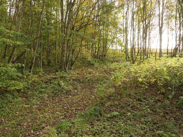
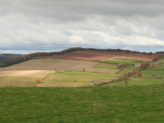
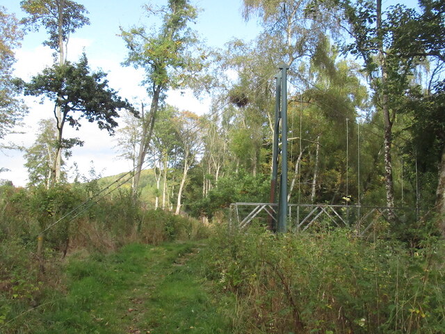
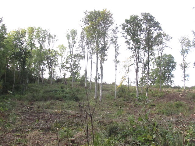
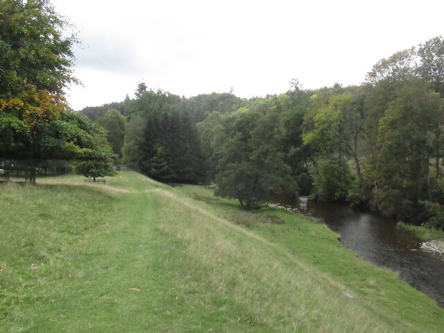
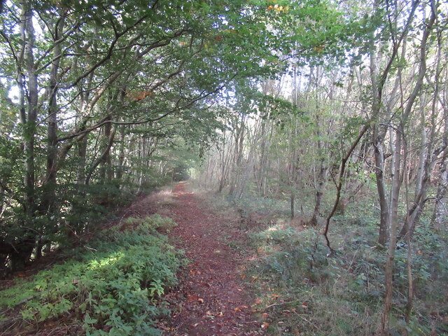
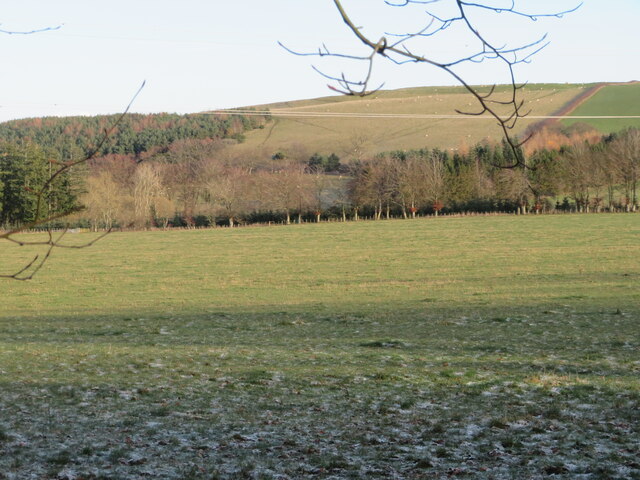
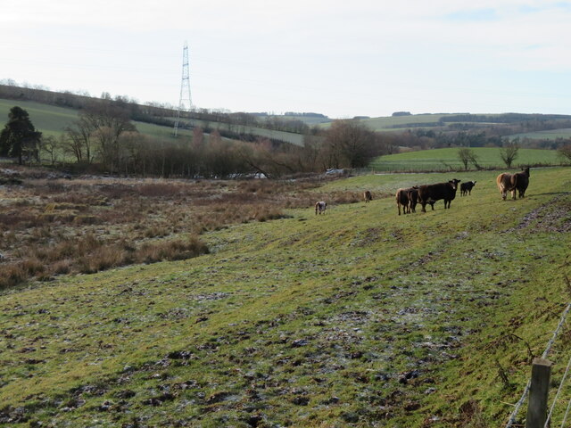
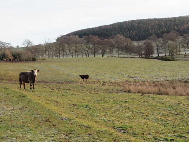
Stobbie Wood is a beautiful forest located in Berwickshire, Scotland. Covering an area of approximately 100 acres, this woodland is a popular destination for nature lovers and outdoor enthusiasts. The forest is home to a variety of tree species, including oak, beech, and birch, creating a diverse and rich ecosystem.

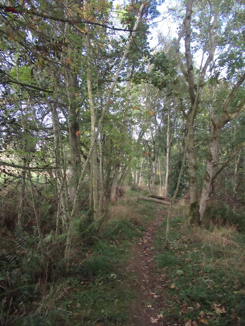
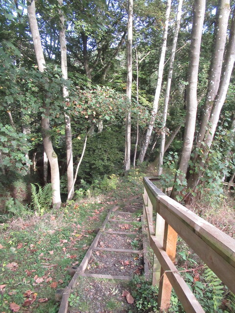
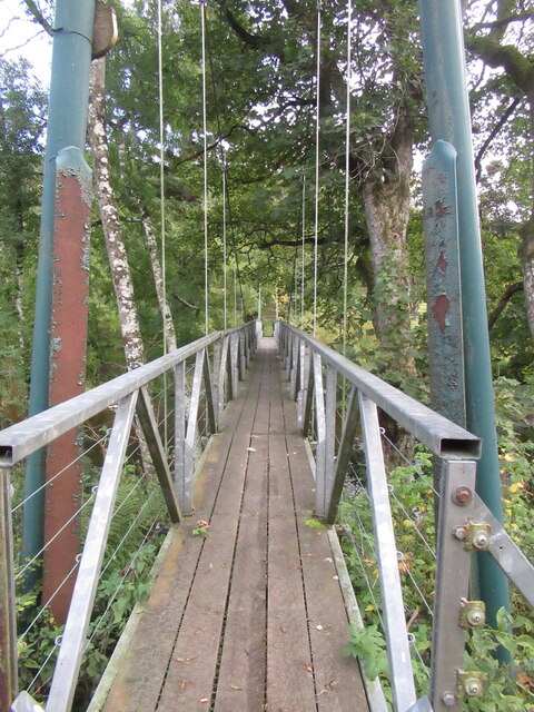
Visitors to Stobbie Wood can enjoy a network of walking trails that wind through the forest, offering stunning views of the surrounding countryside. The tranquil atmosphere of the wood provides a peaceful escape from the hustle and bustle of everyday life, making it a perfect spot for relaxation and contemplation.

Wildlife is abundant in Stobbie Wood, with sightings of deer, squirrels, and a variety of bird species common throughout the forest. The diverse flora and fauna make this woodland a haven for wildlife enthusiasts and photographers.

Overall, Stobbie Wood is a hidden gem in Berwickshire, offering a peaceful retreat in the heart of nature for visitors of all ages to enjoy. Whether you're looking for a leisurely stroll, a bird-watching expedition, or simply a quiet place to relax, Stobbie Wood has something to offer for everyone.

If you have any feedback on the listing, please let us know in the comments section below.

Stobbie Wood Images

Images are sourced within 2km of 55.662393/-2.6766994 or Grid Reference NT5741. Thanks to Geograph Open Source API. All images are credited.

Woodland, Chapel on Leader Above a layby on the A86. Very green for November due to the very warm Autumn.
Woodland, Chapel on Leader
Above a layby on the A86. Very green for November due to the very warm Autumn.
Ploughed fields, Huntshaw Hill View from the summit of White Hill, over an hidden Earlston to arable land to the north.
Ploughed fields, Huntshaw Hill
View from the summit of White Hill, over an hidden Earlston to arable land to the north.
Waymarked path, Carolside About to descend steeply to a suspension bridge.
Waymarked path, Carolside
About to descend steeply to a suspension bridge.
Steps, Carolside A steep descent to the river and a suspension bridge on a well maintained path.
Steps, Carolside
A steep descent to the river and a suspension bridge on a well maintained path.
Suspension bridge, Carolside Built as part of a path network around Earlston.
Suspension bridge, Carolside
Built as part of a path network around Earlston.
Path and suspension bridge, Carolside
Young Covert
Young Covert
Suspension bridge, Carolside Built c.2004 as part of a local path network.
Suspension bridge, Carolside
Built c.2004 as part of a local path network.
Remember to shut the gate A gate has outlived a fence.
Remember to shut the gate
A gate has outlived a fence.
Leader Water, Carolside View from an oak bench overlooking the river.
Leader Water, Carolside
View from an oak bench overlooking the river.
Path above the Leader Water Climbing towards the A68.
Path above the Leader Water
Climbing towards the A68.
A68 north of Earlston It is possible to walk inside the Armco, which is a comfort.
A68 north of Earlston
It is possible to walk inside the Armco, which is a comfort.
Field entrance and storage area, near Birkhill With pylon and transmission line.
Field entrance and storage area, near Birkhill
With pylon and transmission line.
Track across Legerwood Hill Heading 4km southeast from Birkenside to the Gordon-Earlston road [A6109]. A lot of timber cutting has been carried out, with piles of cut timber, waiting to be taken away, and huge piles of the rest of the woodland heaped up along the side of the track, the like of which I have not encountered before.
Track across Legerwood Hill
Heading 4km southeast from Birkenside to the Gordon-Earlston road [A6109]. A lot of timber cutting has been carried out, with piles of cut timber, waiting to be taken away, and huge piles of the rest of the woodland heaped up along the side of the track, the like of which I have not encountered before.
The lower slopes of Legerwood Hill Pasture and woodland in Lauderdale
The lower slopes of Legerwood Hill
Pasture and woodland in Lauderdale
Road to Birkenside 
Heading 4km northwest from the Gordon-Earlston road [A6109] to Birkenside. Un-metalled here, but metalled at the southern end.
Road to Birkenside
Heading 4km northwest from the Gordon-Earlston road [A6109] to Birkenside. Un-metalled here, but metalled at the southern end.
Cattle pasture in Lauderdale The trees mark the course of the Legerwood Burn, a tributary of the Leader Water.
Cattle pasture in Lauderdale
The trees mark the course of the Legerwood Burn, a tributary of the Leader Water.
Cattle pasture near Legerwood Looking across to the tree-lined Legerwood Burn, with a coniferous plantation on Legerwood Hill beyond.
Cattle pasture near Legerwood
Looking across to the tree-lined Legerwood Burn, with a coniferous plantation on Legerwood Hill beyond.
Show me another place!

Stobbie Wood is located at Grid Ref: NT5741 (Lat: 55.662393, Lng: -2.6766994)

Unitary Authority: The Scottish Borders

Police Authority: The Lothians and Scottish Borders

What 3 Words

///sprouting.attaching.crash. Near Earlston, Scottish Borders

Nearby Locations

Stobbie Wood Shed Strip

Related Wikis

Birkenside, Scottish Borders

Birkenside is a village in the Scottish Borders, Scotland.

Carolside, Scottish Borders

Carolside is an estate by the Leader Water, in the Scottish Borders. It is located one mile (1.6 km) north of Earlston, in the former county of Berwickshire...

Legerwood

Legerwood is a village by the Eden Water, in the Scottish Borders area of Scotland, near Lauder, near the Southern Upland Way. Legerwood Kirk is outside...

Earlston

Earlston (Scots: Yerlston; Scottish Gaelic: Dùn Airchill) is a civil parish and market town in the county of Berwickshire, within the Scottish Borders...

Nearby Amenities

Located within 500m of 55.662393,-2.6766994
Birkenside Hill
Natural: peak
Lat/Long: 55.6633462/-2.6836158
The data included in this document is from www.openstreetmap.org. The data is made available under ODbL.

Have you been to Stobbie Wood?

Leave your review of Stobbie Wood below (or comments, questions and feedback).