Scotts Plantation

Wood, Forest in Roxburghshire

Scotland

Scotts Plantation

B6357 towards Bonchester Bridge
B6357 towards Bonchester Bridge Credit: Steven Brown

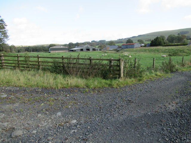
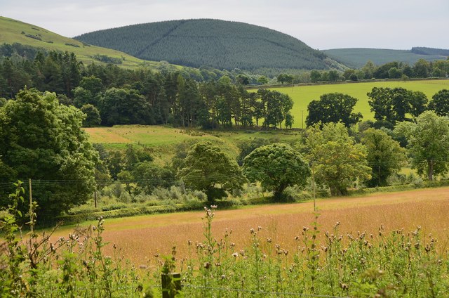
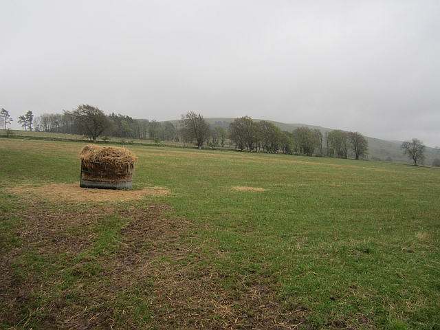
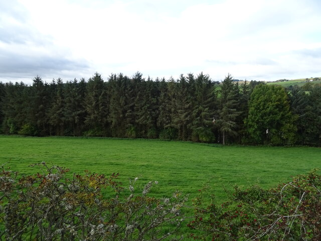
Scotts Plantation is a sprawling woodland located in Roxburghshire, Scotland. Covering an area of approximately 500 acres, it is known for its dense forest and diverse range of plant species. The plantation is situated in a picturesque setting, with rolling hills and a tranquil atmosphere.

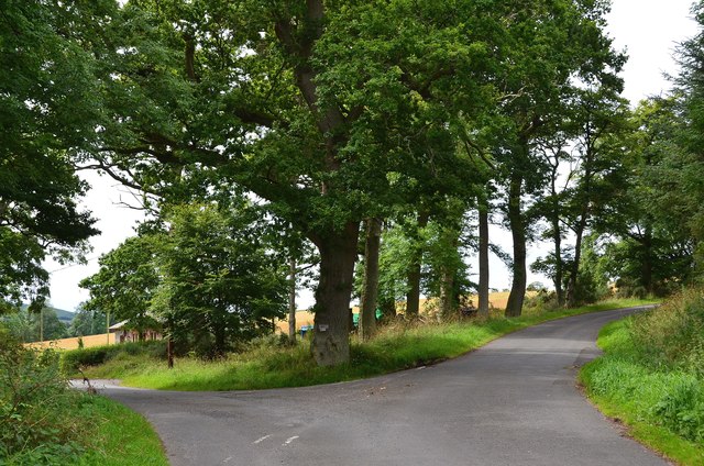
The woodland primarily consists of native trees such as oak, beech, and birch, creating a rich and vibrant ecosystem. The trees are well-maintained, with a carefully managed forestry program in place to ensure their health and sustainability. As a result, Scotts Plantation provides a habitat for various wildlife species including deer, foxes, and a multitude of bird species.

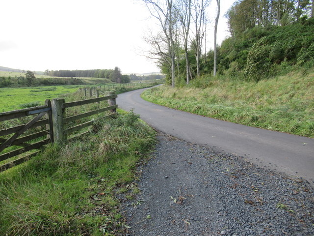
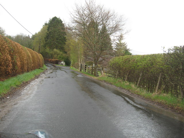
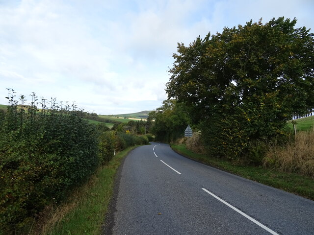
Visitors can explore the plantation through a network of well-marked trails, which offer beautiful views of the surrounding landscape. The paths are suitable for all ages and fitness levels, making it an ideal destination for leisurely walks or more challenging hikes. Along the trails, visitors can also find information boards that provide insights into the history and ecology of the area.

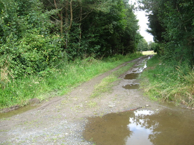
In addition to its natural beauty, Scotts Plantation offers recreational activities such as mountain biking and horseback riding. The well-maintained paths and varied terrain make it a popular destination for outdoor enthusiasts seeking adventure and a connection with nature.

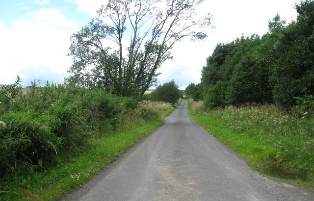
Overall, Scotts Plantation in Roxburghshire is a haven of natural beauty, offering visitors a chance to immerse themselves in the wonders of a well-preserved woodland ecosystem. Whether it is for a leisurely stroll or a more active pursuit, this plantation provides a memorable experience for all who venture into its enchanting domain.

If you have any feedback on the listing, please let us know in the comments section below.

Scotts Plantation Images

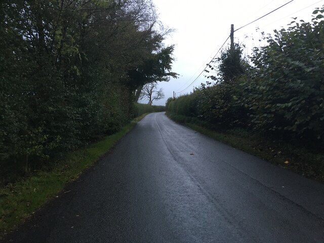
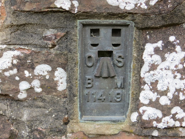
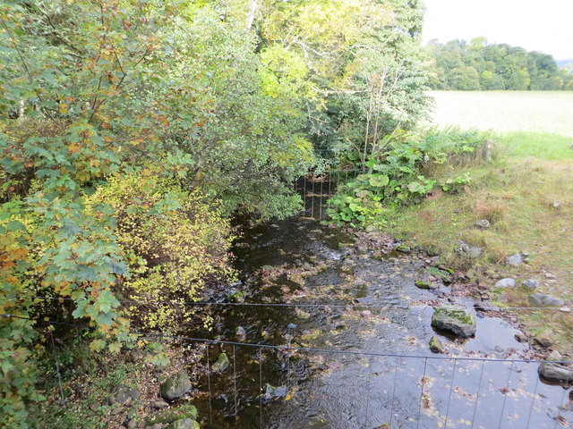
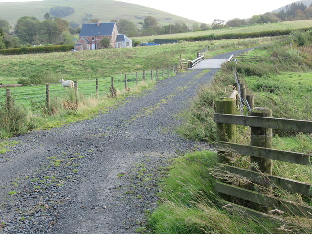
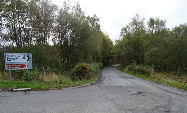
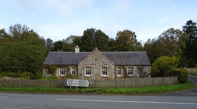
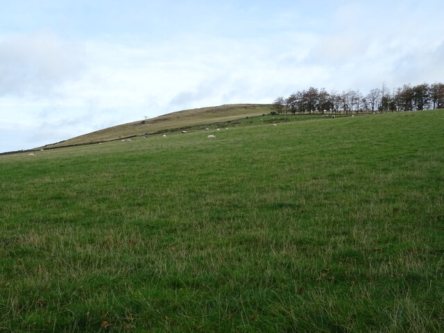
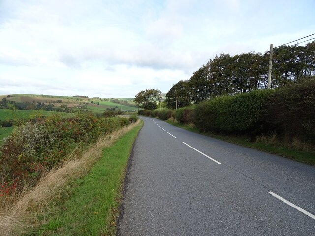
Images are sourced within 2km of 55.386699/-2.6714296 or Grid Reference NT5710. Thanks to Geograph Open Source API. All images are credited.

B6357 towards Bonchester Bridge
Ordnance Survey Flush Bracket 11419 This can be found on the parapet wall of a bridge over Catlee Burn at Forkins.
For more detail see : <span class="nowrap"><a title="http://www.bench-marks.org.uk/bm16610" rel="nofollow ugc noopener" href="http://www.bench-marks.org.uk/bm16610">Link</a><img style="margin-left:2px;" alt="External link" title="External link - shift click to open in new window" src="https://s1.geograph.org.uk/img/external.png" width="10" height="10"/></span>
Ordnance Survey Flush Bracket 11419
This can be found on the parapet wall of a bridge over Catlee Burn at Forkins. For more detail see : LinkExternal link
Catlee Burn viewed from the bridge at Forkins Looking north-westward.
Catlee Burn viewed from the bridge at Forkins
Looking north-westward.
Bridge across Harwood burn to cottage near Hobkirk in the Scottish Borders As yet unmapped and unsatted!!
Bridge across Harwood burn to cottage near Hobkirk in the Scottish Borders
As yet unmapped and unsatted!!
Track junction with public road near Hobkirk in the Scottish Borders
Track through the plantation At Unthank Wood in Roxburghshire.
Track through the plantation
At Unthank Wood in Roxburghshire.
Country lane heading for Highend Farm In Roxburghshire.
Country lane heading for Highend Farm
In Roxburghshire.
Forestry beyond the fields, Harwoodmill A view across the catchment of the Rule Water to the forested Wolfhopelee Hill, at the N end of the extensive Wauchope Forest.
Forestry beyond the fields, Harwoodmill
A view across the catchment of the Rule Water to the forested Wolfhopelee Hill, at the N end of the extensive Wauchope Forest.
Road junction near Forkins A sign on the tree indicates 'Harwood' to the left.
Road junction near Forkins
A sign on the tree indicates 'Harwood' to the left.
The B6357heading south towards Wolfelee in Roxburghshire
Field above Cleuch Head Grass field with left overs from Winter.
Field above Cleuch Head
Grass field with left overs from Winter.
B6357 towards Newcastleton From the junction with the A6088.
B6357 towards Newcastleton
From the junction with the A6088.
Braidhaugh Farm Cottage On the A6088.
Braidhaugh Farm Cottage
On the A6088.
Hillside grazing above the A6088 Towards Bonchester Hill.
Hillside grazing above the A6088
Towards Bonchester Hill.
A6088 towards Bonchester Bridge
Grazing and woodland, Bonchester Bridge
A6088 dropping down into Bonchester Bridge
Show me another place!

Scotts Plantation is located at Grid Ref: NT5710 (Lat: 55.386699, Lng: -2.6714296)

Unitary Authority: The Scottish Borders

Police Authority: The Lothians and Scottish Borders

What 3 Words

///tempting.writings.pheasants. Near Hawick, Scottish Borders

Related Wikis

Hobkirk

Hobkirk (Scottish Gaelic: Eaglais Ruail) is a village and civil parish in the Scottish Borders area of Scotland, by the Rule Water, south-west of Jedburgh...

Bonchester Bridge

Bonchester Bridge (Scots Binster Brig) is a village in Roxburghshire, within the Scottish Borders area of Scotland, lying on the Rule Water, six miles...

Wauchope, Scottish Borders

Wauchope is a hamlet in the Scottish Borders council area of Scotland, near Southdean. Wauchope House was demolished in 1932. == See also == Wauchope Forest...

Hallrule

Hallrule is a hamlet on the B6357 road, in the Scottish Borders area of Scotland, on the Rule Water, near Abbotrule, Bedrule Bonchester Bridge, Denholm...

Nearby Amenities

Located within 500m of 55.386699,-2.6714296
Highend
Place: hamlet
Lat/Long: 55.3863731/-2.6753852
Natural: peak
Lat/Long: 55.3887636/-2.6725253
Power: pole
Lat/Long: 55.3867338/-2.6790224
Power: pole
Lat/Long: 55.3865155/-2.6785948
Power: pole
Lat/Long: 55.3862234/-2.6780247
Power: pole
Lat/Long: 55.3859444/-2.6774623
Power: pole
Lat/Long: 55.3854558/-2.6773885
Power: pole
Lat/Long: 55.3849035/-2.6761516
Power: pole
Lat/Long: 55.3844119/-2.6750317
Power: pole
Lat/Long: 55.3841936/-2.6732273
Power: pole
Lat/Long: 55.3840779/-2.6722601
Power: pole
Lat/Long: 55.3839551/-2.6713006
Power: pole
Lat/Long: 55.3844235/-2.669883
The data included in this document is from www.openstreetmap.org. The data is made available under ODbL.

Have you been to Scotts Plantation?

Leave your review of Scotts Plantation below (or comments, questions and feedback).