Donaldson Plantation
Wood, Forest in Roxburghshire
Scotland
Donaldson Plantation
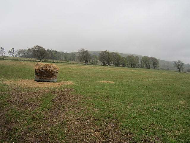
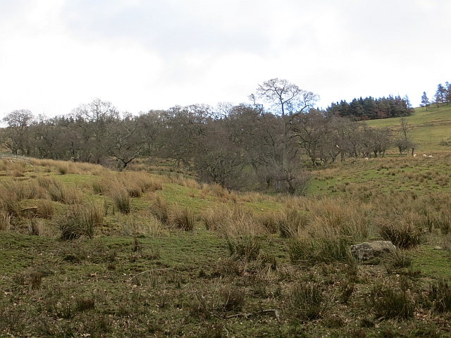
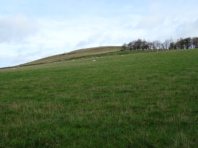
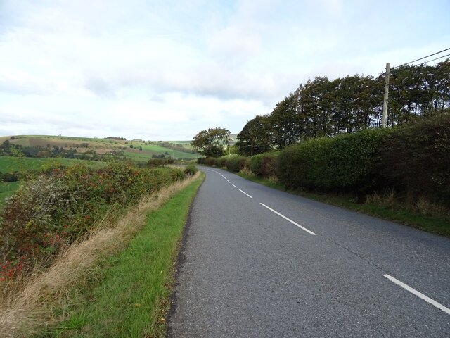
Donaldson Plantation is a picturesque wood and forest located in the region of Roxburghshire, Scotland. Spread over a vast expanse of land, it covers an area of approximately [insert size] hectares. The plantation is situated in a rural setting, offering visitors a tranquil and serene environment.
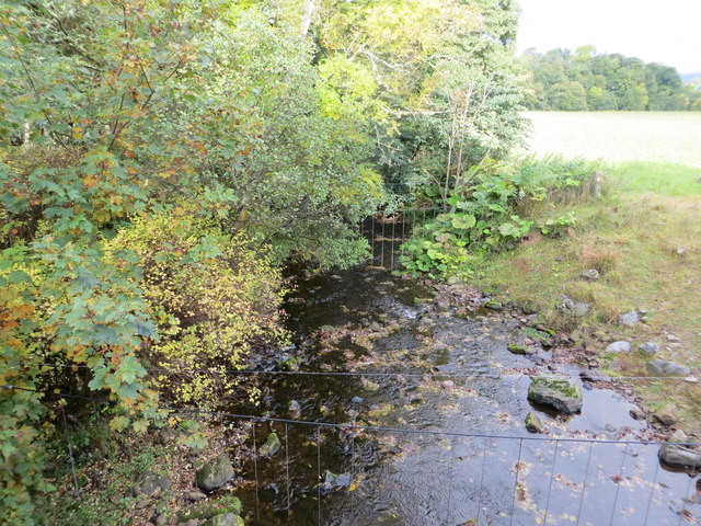
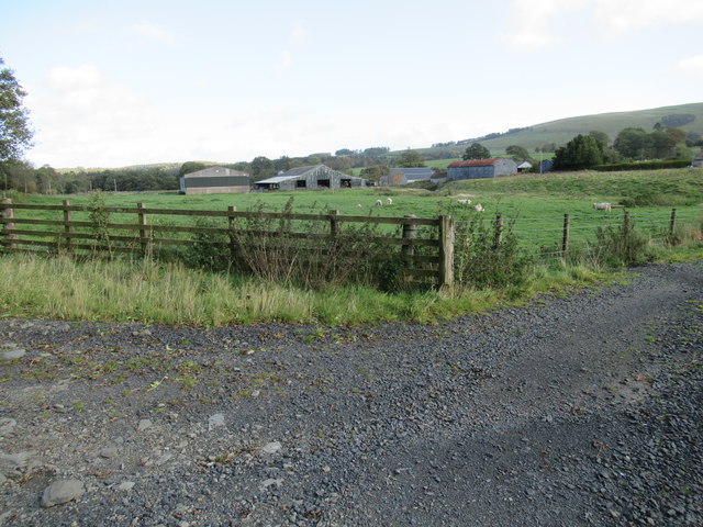
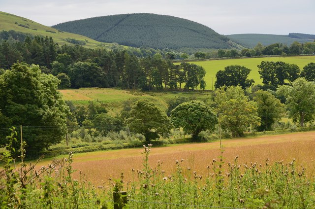
The woodland in Donaldson Plantation consists of a diverse range of tree species, including oak, beech, birch, and pine. These trees create a dense canopy, providing shade and shelter to a variety of wildlife. The forest floor is adorned with a carpet of lush green moss and ferns, adding to the beauty of the surroundings.
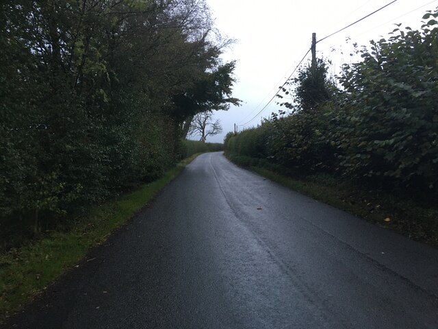
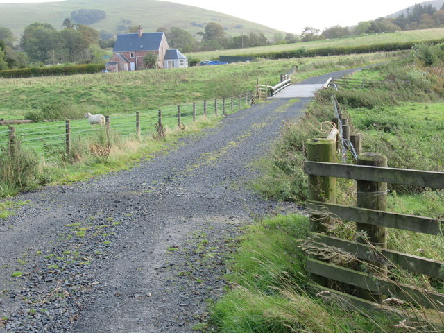
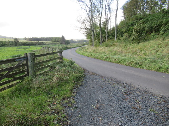
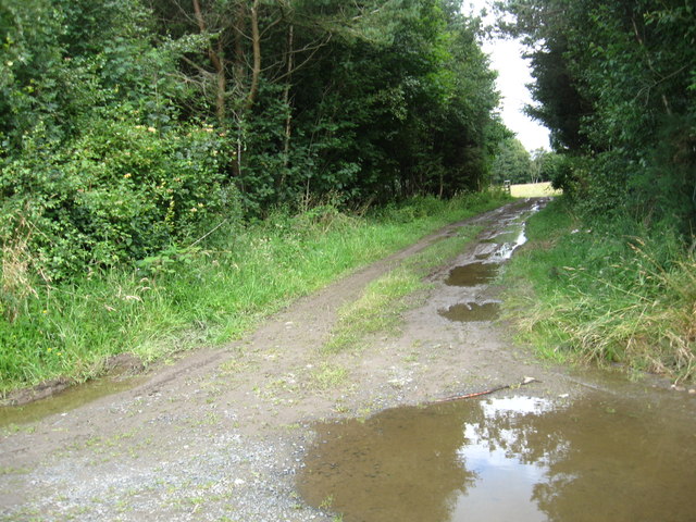
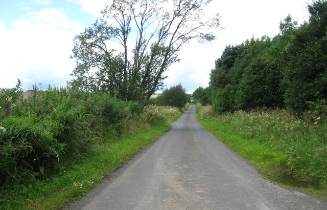
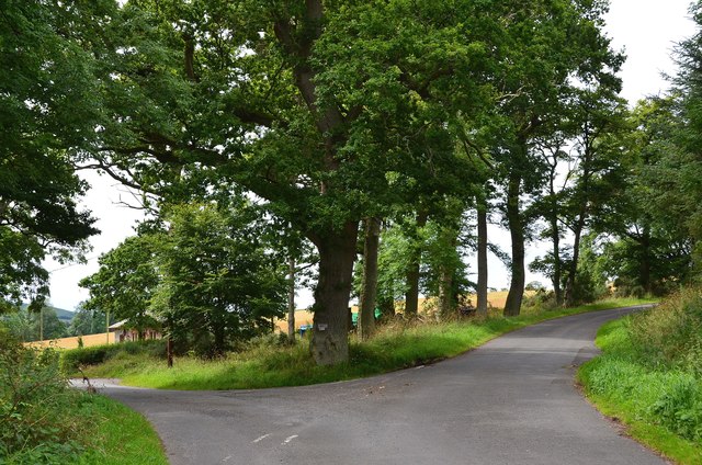
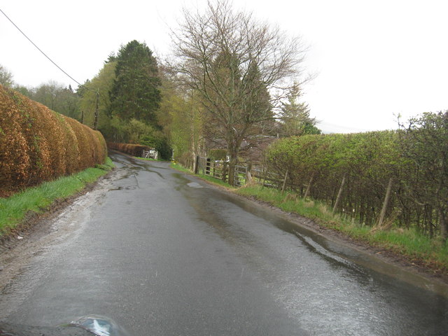
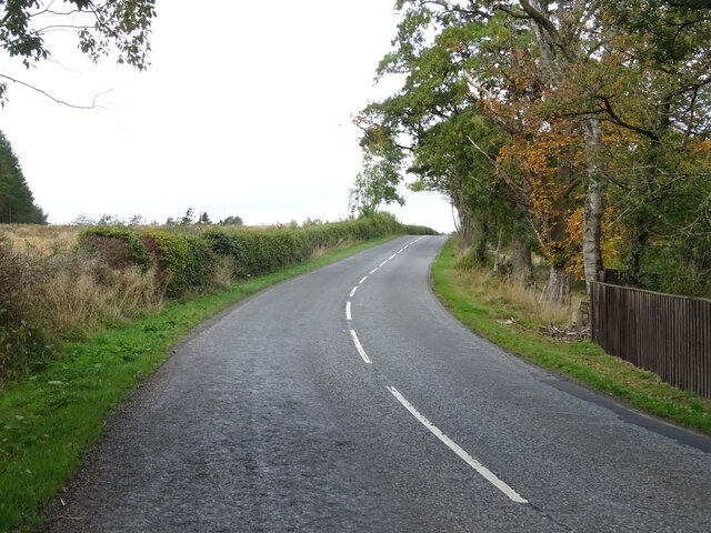
The plantation is intersected by numerous walking trails, which allow visitors to explore the area at their own pace. These paths are well-maintained and suitable for both leisurely strolls and more challenging hikes. Along the way, visitors can spot a rich assortment of flora and fauna, including wildflowers, birds, and small mammals.
Donaldson Plantation is not only a haven for nature enthusiasts but also a popular destination for recreational activities. It offers opportunities for camping, picnicking, and even birdwatching. The peaceful ambiance and breathtaking scenery make it an ideal spot for unwinding and connecting with nature.
Managed by the local authorities, Donaldson Plantation is open to the public throughout the year, with no admission fee. Its accessibility and well-preserved natural beauty make it a cherished gem in Roxburghshire, attracting visitors from far and wide.
If you have any feedback on the listing, please let us know in the comments section below.
Donaldson Plantation Images
Images are sourced within 2km of 55.386625/-2.6685397 or Grid Reference NT5710. Thanks to Geograph Open Source API. All images are credited.
Donaldson Plantation is located at Grid Ref: NT5710 (Lat: 55.386625, Lng: -2.6685397)
Unitary Authority: The Scottish Borders
Police Authority: The Lothians and Scottish Borders
What 3 Words
///shampoos.code.fewer. Near Hawick, Scottish Borders
Nearby Locations
Related Wikis

Hobkirk
Hobkirk (Scottish Gaelic: Eaglais Ruail) is a village and civil parish in the Scottish Borders area of Scotland, by the Rule Water, south-west of Jedburgh...

Bonchester Bridge
Bonchester Bridge (Scots Binster Brig) is a village in Roxburghshire, within the Scottish Borders area of Scotland, lying on the Rule Water, six miles...

Wauchope, Scottish Borders
Wauchope is a hamlet in the Scottish Borders council area of Scotland, near Southdean. Wauchope House was demolished in 1932. == See also == Wauchope Forest...

Hallrule
Hallrule is a hamlet on the B6357 road, in the Scottish Borders area of Scotland, on the Rule Water, near Abbotrule, Bedrule Bonchester Bridge, Denholm...

Abbotrule
Abbotrule is a hamlet south of the B6357 road, in the Scottish Borders area of Scotland, on Rule Burn, east of the Rule Water. Places nearby include Bedrule...

Kirkton, Scottish Borders
Kirkton is a village in the Scottish Borders area of Scotland, off the A6088, near Hawick. Grid Ref. NT5413. It is a former parish, amalgamated into the...

Rubers Law
Rubers Law is a prominent, conical hill in the Scottish Borders area of south-east Scotland. It stands on the south bank of the River Teviot, between the...

Southdean
Southdean is a hamlet in the Scottish Borders area of Scotland, on the A6088, by the Jed Water and in the Wauchope Forest area. Other settlements nearby...
Nearby Amenities
Located within 500m of 55.386625,-2.6685397Have you been to Donaldson Plantation?
Leave your review of Donaldson Plantation below (or comments, questions and feedback).