Fanna Hill Forest

Wood, Forest in Roxburghshire

Scotland

Fanna Hill Forest

View to East Hill
View to East Hill Credit: Mick Garratt

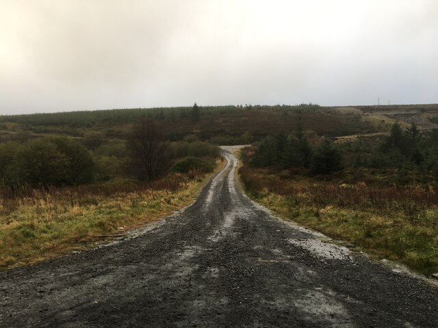
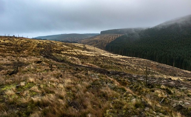
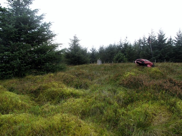
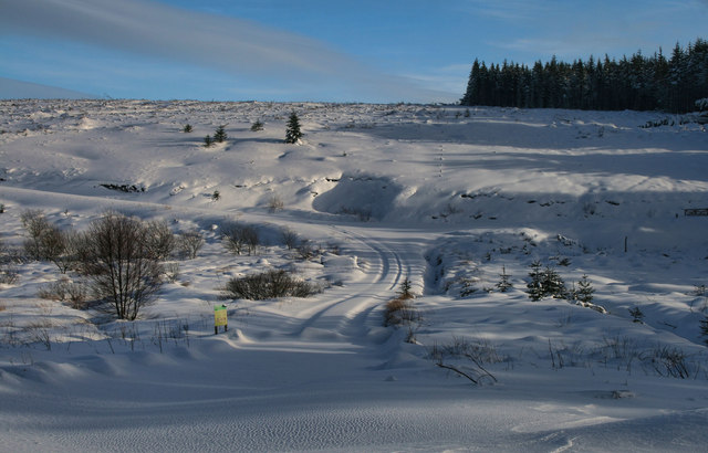
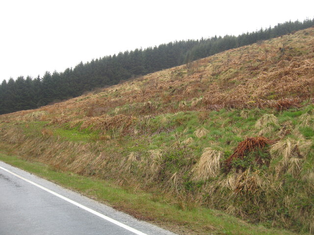
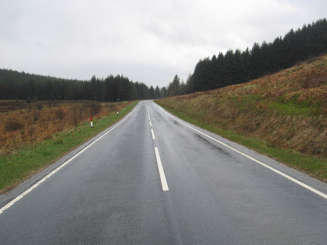
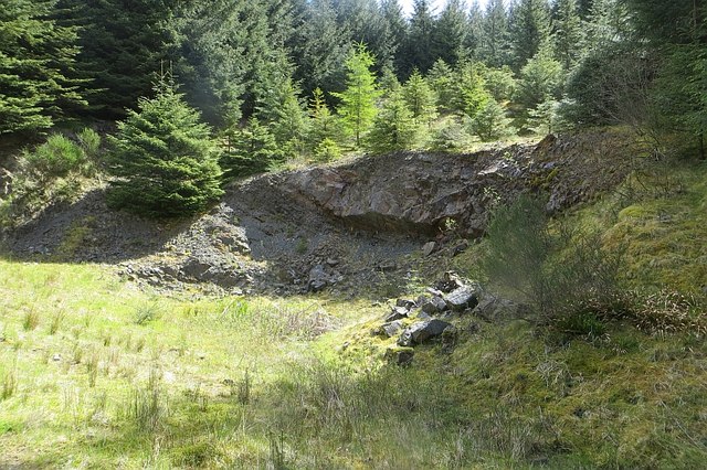
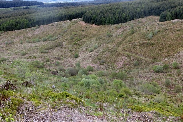
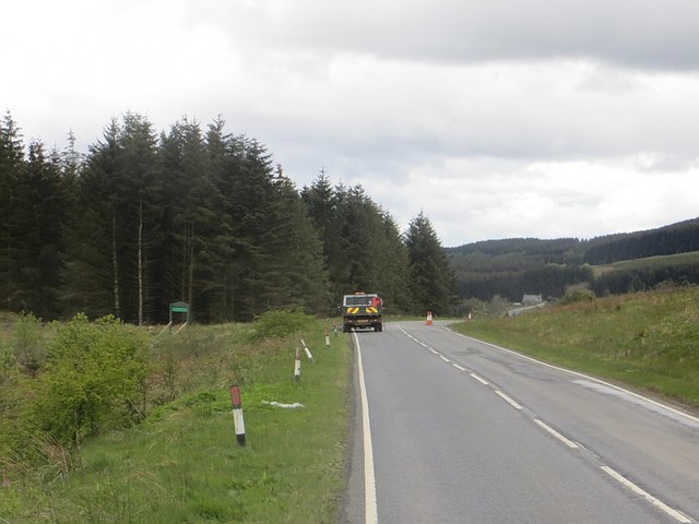
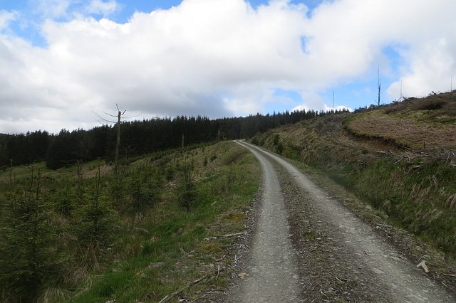
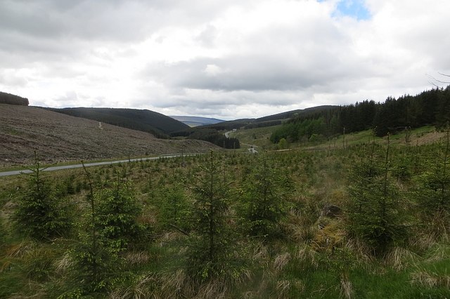
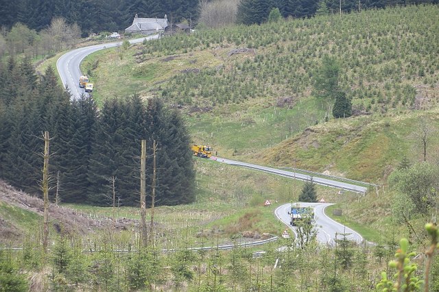
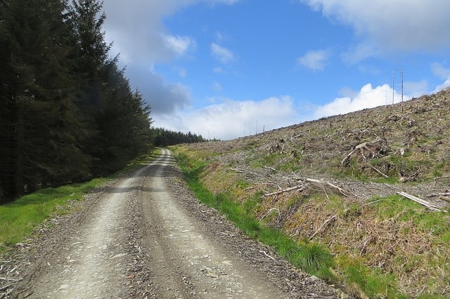
Fanna Hill Forest is a picturesque woodland located in Roxburghshire, Scotland. Covering an area of approximately 500 acres, the forest is a popular destination for nature lovers, hikers, and outdoor enthusiasts. The forest is home to a variety of tree species, including oak, birch, and pine, creating a diverse and vibrant ecosystem.

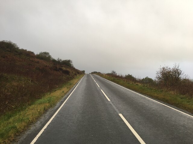
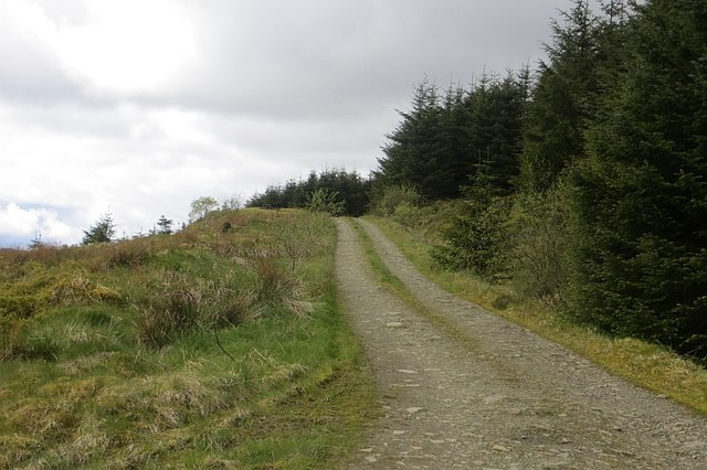
Visitors to Fanna Hill Forest can enjoy a network of well-maintained hiking trails that wind through the forest, offering stunning views of the surrounding countryside. The forest is also home to a wide range of wildlife, including deer, birds, and small mammals, making it a great spot for birdwatching and wildlife spotting.

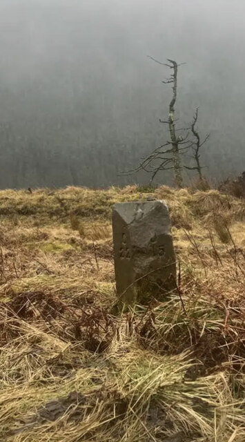
In addition to its natural beauty, Fanna Hill Forest also has a rich cultural history, with traces of ancient settlements and historic landmarks scattered throughout the area. The forest provides a peaceful and tranquil escape from the hustle and bustle of everyday life, making it a perfect destination for those looking to reconnect with nature and enjoy the great outdoors.

If you have any feedback on the listing, please let us know in the comments section below.

Fanna Hill Forest Images

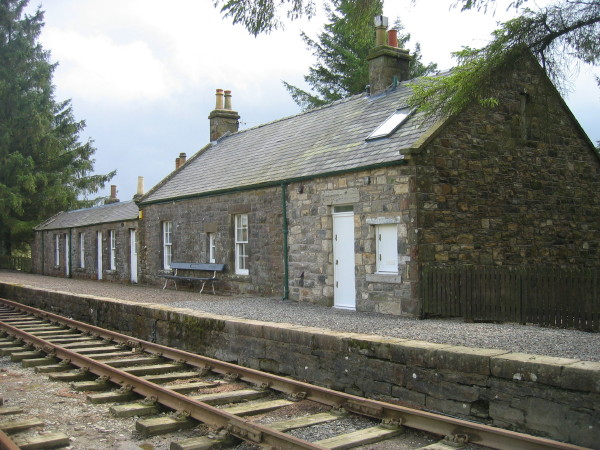
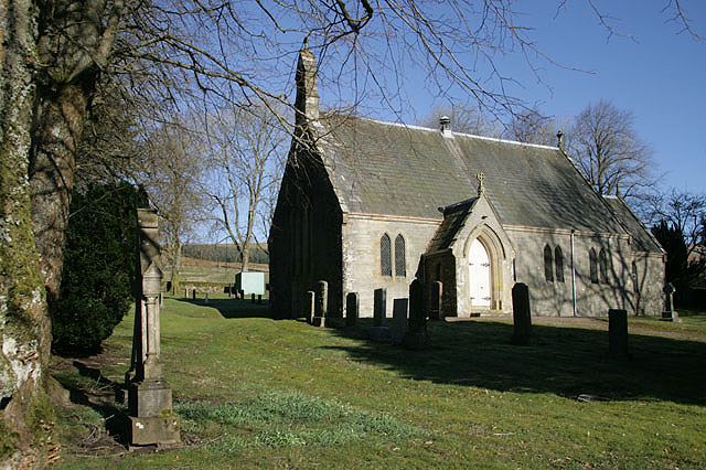
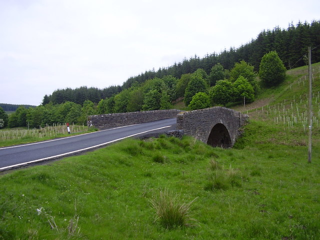
Images are sourced within 2km of 55.311789/-2.6671695 or Grid Reference NT5702. Thanks to Geograph Open Source API. All images are credited.

View to East Hill
View to East Hill
Entrance into Wauchope Forest
B6357 towards Bonchester Bridge
Old Milestone by the B6357, Singdean By the B6357, in parish of Singdean (Roxburgh District), Northwest side of road.


Inscription reads:- 
J(edburgh) / 15 : : C(arlisle) / 22 : : N(ewcastleton) / 11

Milestone Society National ID: BD_JBCN15
Old Milestone by the B6357, Singdean
By the B6357, in parish of Singdean (Roxburgh District), Northwest side of road. Inscription reads:- J(edburgh) / 15 : : C(arlisle) / 22 : : N(ewcastleton) / 11 Milestone Society National ID: BD_JBCN15
Caddroun Burn Clear fell near Caddroun Burn.
Caddroun Burn
Clear fell near Caddroun Burn.
Fanna Hill Parked at NT587027 and followed forestry road to highest point then hit the trees. There's about 250m of ascent straight up through the trees, but they're not too dense so no problem really. Slightly hazy views to Peel Fell and Deadwater Fell.
Name: Fanna Hill
Hill number: 1927
Height: 515m / 1690ft
Area: 28B: The River Tweed to the English Border
Class: Hu, 5D, sMa
Grid ref: NT 56978 03195
Summit feature: no feature 18m NE of trig point
Drop: 148m
Col: 367m  NT589028
Fanna Hill
Parked at NT587027 and followed forestry road to highest point then hit the trees. There's about 250m of ascent straight up through the trees, but they're not too dense so no problem really. Slightly hazy views to Peel Fell and Deadwater Fell. Name: Fanna Hill Hill number: 1927 Height: 515m / 1690ft Area: 28B: The River Tweed to the English Border Class: Hu, 5D, sMa Grid ref: NT 56978 03195 Summit feature: no feature 18m NE of trig point Drop: 148m Col: 367m NT589028
Wane Cleuch The B6357 crossing Wane Cleuch near Singdean.
Wane Cleuch
The B6357 crossing Wane Cleuch near Singdean.
Note o'the Gate Note o'the Gate at the head of Swire Sike in Wauchope Forest.  See also <a href="https://www.geograph.org.uk/photo/1917943">NT5802 : Forestry road at Wauchope Forest</a>.
Note o'the Gate
Note o'the Gate at the head of Swire Sike in Wauchope Forest. See also NT5802 : Forestry road at Wauchope Forest.
Steep banking and woodland at the side of the B6357 Near the Note o' the Gate in the Wauchope Forest in Roxburghshire.
Steep banking and woodland at the side of the B6357
Near the Note o' the Gate in the Wauchope Forest in Roxburghshire.
The B6357  heading south Through the Wauchope Forest in Roxburghshire.
The B6357 heading south
Through the Wauchope Forest in Roxburghshire.
Quarry, Wauchope Forest Silurian rocks, including some beds of a massive resistant rock, used for roadstone.
Quarry, Wauchope Forest
Silurian rocks, including some beds of a massive resistant rock, used for roadstone.
Logging road, Wauchope Forest A dead end spur above Note o' the Gate. There is a picnic table with a big view up there.
Logging road, Wauchope Forest
A dead end spur above Note o' the Gate. There is a picnic table with a big view up there.
Swyre Sike The glen was once a conifer plantation, like almost all of Wauchope Forest, but after the last crop was taken off it has been left to grow wild. It is slowly being taken over by willow scrub, very popular with willow warblers and chaffinches.
Swyre Sike
The glen was once a conifer plantation, like almost all of Wauchope Forest, but after the last crop was taken off it has been left to grow wild. It is slowly being taken over by willow scrub, very popular with willow warblers and chaffinches.
Note o' the Gate The Jedburgh to Carlisle road crosses the east-west watershed. There was a team of road repairers at work today.
Note o' the Gate
The Jedburgh to Carlisle road crosses the east-west watershed. There was a team of road repairers at work today.
Logging road, Wauchope Forest In a privately managed part of the forest near Note o' the Gate. I did not get far as clear felling was in progress near the track further in.
Logging road, Wauchope Forest
In a privately managed part of the forest near Note o' the Gate. I did not get far as clear felling was in progress near the track further in.
Young trees, Wauchope Forest On the south side of the watershed at Note o' the Gate.
Young trees, Wauchope Forest
On the south side of the watershed at Note o' the Gate.
Road works, Murderdean Sike Patching up the B6357 near Singdean.
Road works, Murderdean Sike
Patching up the B6357 near Singdean.
Logging road, Wauchope Forest Rounding a spur on Dogbank Hill. This part of the forest is managed by UPM Tilhill and is almost entirely commercial conifers.
Logging road, Wauchope Forest
Rounding a spur on Dogbank Hill. This part of the forest is managed by UPM Tilhill and is almost entirely commercial conifers.
Show me another place!

Fanna Hill Forest is located at Grid Ref: NT5702 (Lat: 55.311789, Lng: -2.6671695)

Unitary Authority: The Scottish Borders

Police Authority: The Lothians and Scottish Borders

What 3 Words

///venturing.waitress.dictation. Near Hawick, Scottish Borders

Nearby Locations

Fanna Hill Forest

Related Wikis

Wauchope Forest

Wauchope Forest is a forest on the Rule Water, in the Scottish Borders area of Scotland, south of Hawick, and including the A6088, the A68 and the B6357...

Saughtree railway station

Saughtree railway station is a closed railway station situated a mile north of the hamlet of Saughtree and two miles from the border with England. ��2...

Saughtree

Saughtree () (Scots: Sauchtree) is a hamlet in the Scottish Borders at the junction of the B6357 and an unnamed road from Kielder village in Northumberland...

Whitrope

Whitrope is a densely forested, but sparsely populated area, high in the Southern Upland hills in the south central Scottish Borders in the former county...

Have you been to Fanna Hill Forest?

Leave your review of Fanna Hill Forest below (or comments, questions and feedback).