Roundel Wood

Wood, Forest in Roxburghshire

Scotland

Roundel Wood

Bridge over Leader Water The river is soon to join the River Tweed.
Bridge over Leader Water Credit: Russel Wills

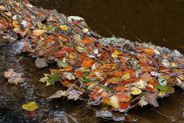
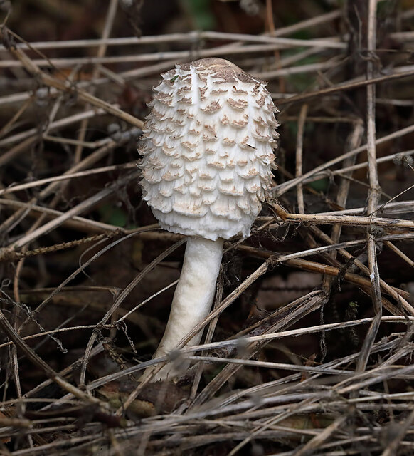
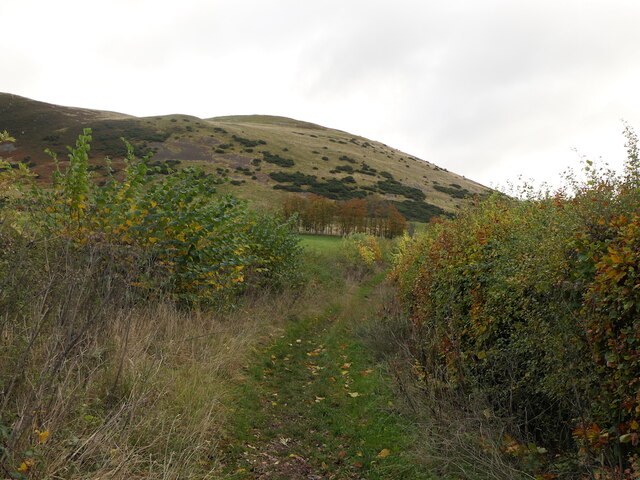
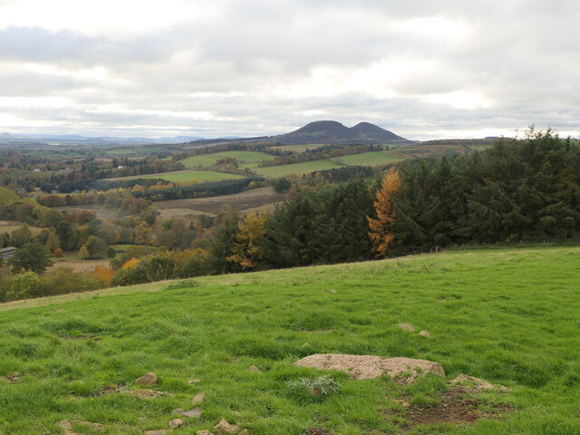
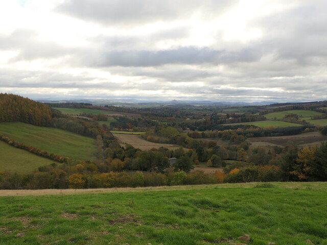
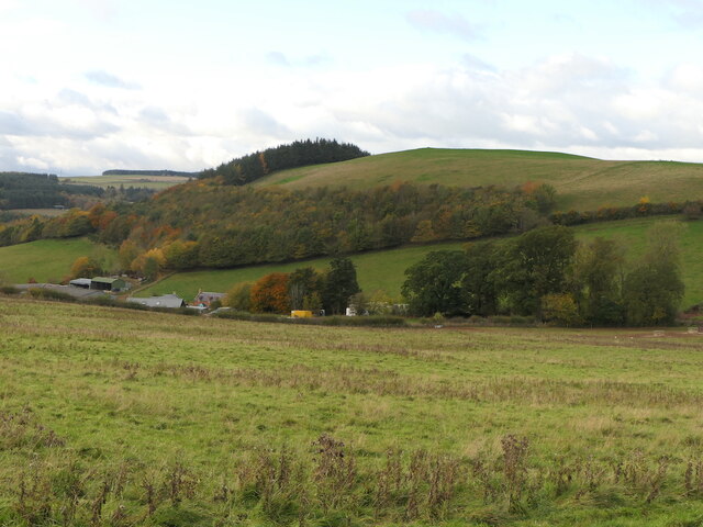
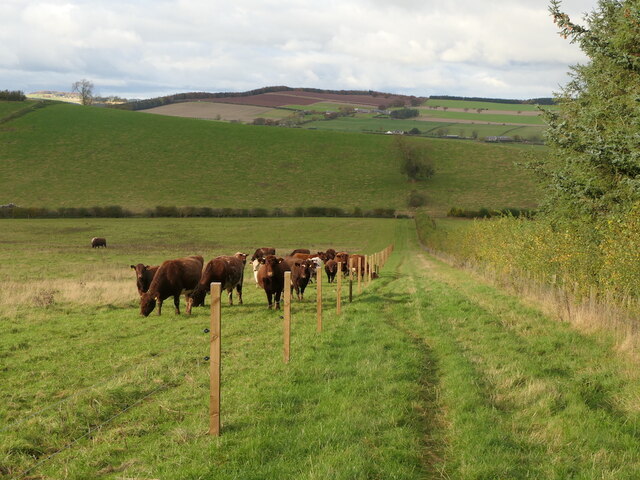
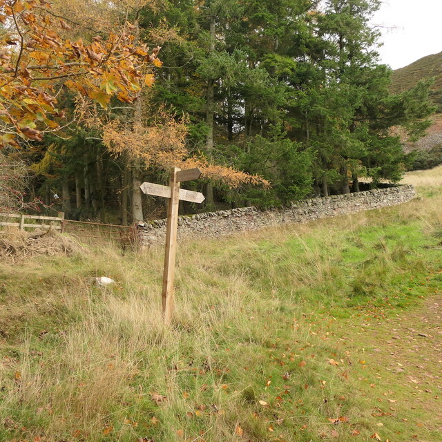
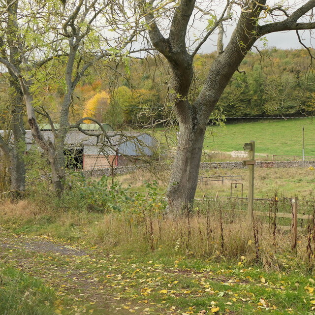
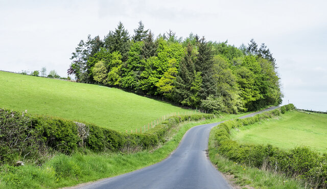
Roundel Wood is a picturesque forest located in Roxburghshire, Scotland. Covering an area of approximately 50 acres, the wood is made up of a diverse range of tree species, including oak, beech, and pine. The forest is home to a variety of wildlife, such as red squirrels, roe deer, and numerous bird species.

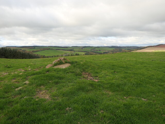
Visitors to Roundel Wood can enjoy peaceful walks along well-maintained paths that wind through the trees, offering stunning views of the surrounding countryside. The forest is a popular destination for nature lovers, birdwatchers, and photographers looking to capture the beauty of the Scottish landscape.

The wood is managed by the Forestry Commission Scotland, who work to maintain the natural habitat and ensure the conservation of the local flora and fauna. Roundel Wood is also a designated Site of Special Scientific Interest, due to its unique ecosystem and biodiversity.

Overall, Roundel Wood is a tranquil and enchanting forest that offers visitors the opportunity to immerse themselves in nature and appreciate the beauty of Scotland's woodlands.

If you have any feedback on the listing, please let us know in the comments section below.
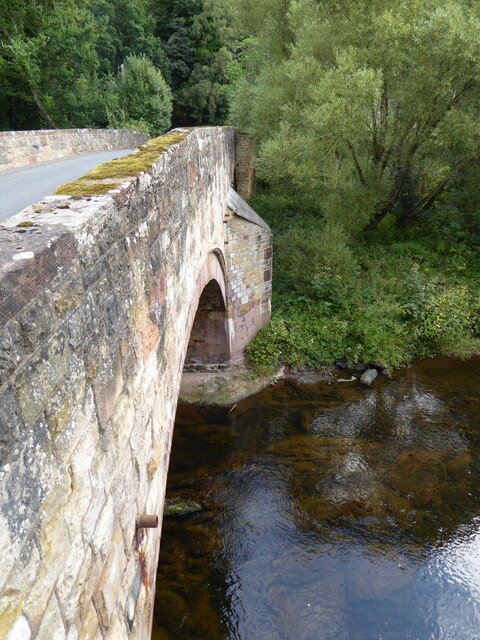
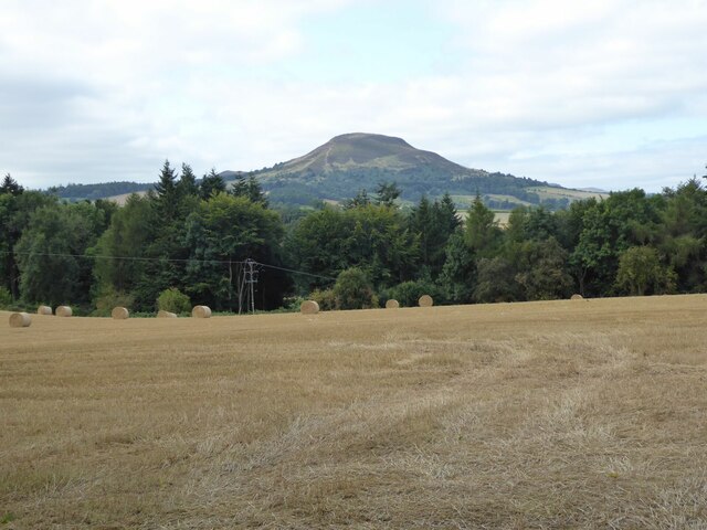
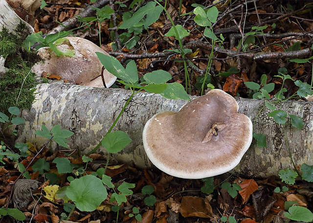
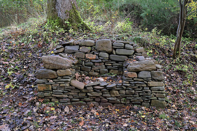
Roundel Wood Images

Images are sourced within 2km of 55.619904/-2.6826042 or Grid Reference NT5736. Thanks to Geograph Open Source API. All images are credited.

Bridge over Leader Water The river is soon to join the River Tweed.
Bridge over Leader Water
The river is soon to join the River Tweed.
Stubble field with cylindrical straw bales Eildon Hill North in the background.
Stubble field with cylindrical straw bales
Eildon Hill North in the background.
Birch polypore fungus (Fomitopsis betulinus) These common bracket fungi were on a fallen birch tree by the Leader Water.
Birch polypore fungus (Fomitopsis betulinus)
These common bracket fungi were on a fallen birch tree by the Leader Water.
A stone bench seat by the Leader Water For a view of the stone seat taken in March 2013, see <a href="https://www.geograph.org.uk/photo/3374614">NT5735 : A drystane bench seat by the Leader Water</a>.
A stone bench seat by the Leader Water
For a view of the stone seat taken in March 2013, see NT5735 : A drystane bench seat by the Leader Water.
Autumn leaves on the Leader Water The leaves have been snagged up on a fallen tree trunk in the river.
Autumn leaves on the Leader Water
The leaves have been snagged up on a fallen tree trunk in the river.
A shaggy parasol mushroom (Chlorophyllum rhacodes) This emerging mushroom was photographed in a coniferous wood near Redpath.
A shaggy parasol mushroom (Chlorophyllum rhacodes)
This emerging mushroom was photographed in a coniferous wood near Redpath.
Black Hill and access path Black Hill of Earlston and a popular ascent route by Cowdenknowes Mains.
Black Hill and access path
Black Hill of Earlston and a popular ascent route by Cowdenknowes Mains.
Summit, White Hill Above Earlston.
Summit, White Hill
Above Earlston.
On White Hill View across Lauderdale towards the Eildon Hills.
On White Hill
View across Lauderdale towards the Eildon Hills.
View down Lauderdale From White Hill.
View down Lauderdale
From White Hill.
White Hill, Earlston Above Cowdenknowes Mains.
White Hill, Earlston
Above Cowdenknowes Mains.
Path to Earlston from Cowdenknowes Mains A route off Black Hill passing a herd of shorthorns.
Path to Earlston from Cowdenknowes Mains
A route off Black Hill passing a herd of shorthorns.
Signpost below Black Hill A path heads north from here towards Earlston.
Signpost below Black Hill
A path heads north from here towards Earlston.
Path signpost, Cowdenknowes Mains
A misty Borders landscape This December view towards Black Hill was taken from Eildon Mid Hill.
A misty Borders landscape
This December view towards Black Hill was taken from Eildon Mid Hill.
Leaderfoot Viaduct and the River Tweed This is surely one of the most elegant viaducts in the UK?  The slenderness of the pillars, combined with their tapering heights make this a beautiful structure.
Leaderfoot Viaduct and the River Tweed
This is surely one of the most elegant viaducts in the UK? The slenderness of the pillars, combined with their tapering heights make this a beautiful structure.
Leaderfoot Viaduct and the River Tweed This is surely one of the most elegant viaducts in the UK? The slenderness of the pillars, combined with their tapering heights make this a beautiful structure.
Leaderfoot Viaduct and the River Tweed
This is surely one of the most elegant viaducts in the UK? The slenderness of the pillars, combined with their tapering heights make this a beautiful structure.
Trees beside Anniesfield House The road passing the trees is above the A68 close to Earlston.
Trees beside Anniesfield House
The road passing the trees is above the A68 close to Earlston.
Show me another place!

Roundel Wood is located at Grid Ref: NT5736 (Lat: 55.619904, Lng: -2.6826042)

Unitary Authority: The Scottish Borders

Police Authority: The Lothians and Scottish Borders

What 3 Words

///bothered.elder.headlight. Near Earlston, Scottish Borders

Related Wikis

St Andrew's College, Drygrange

St Andrew's College, Drygrange, located near Melrose, Scotland, was a Roman Catholic seminary founded in 1953 and closed in 1986. == History == === Foundation... ===

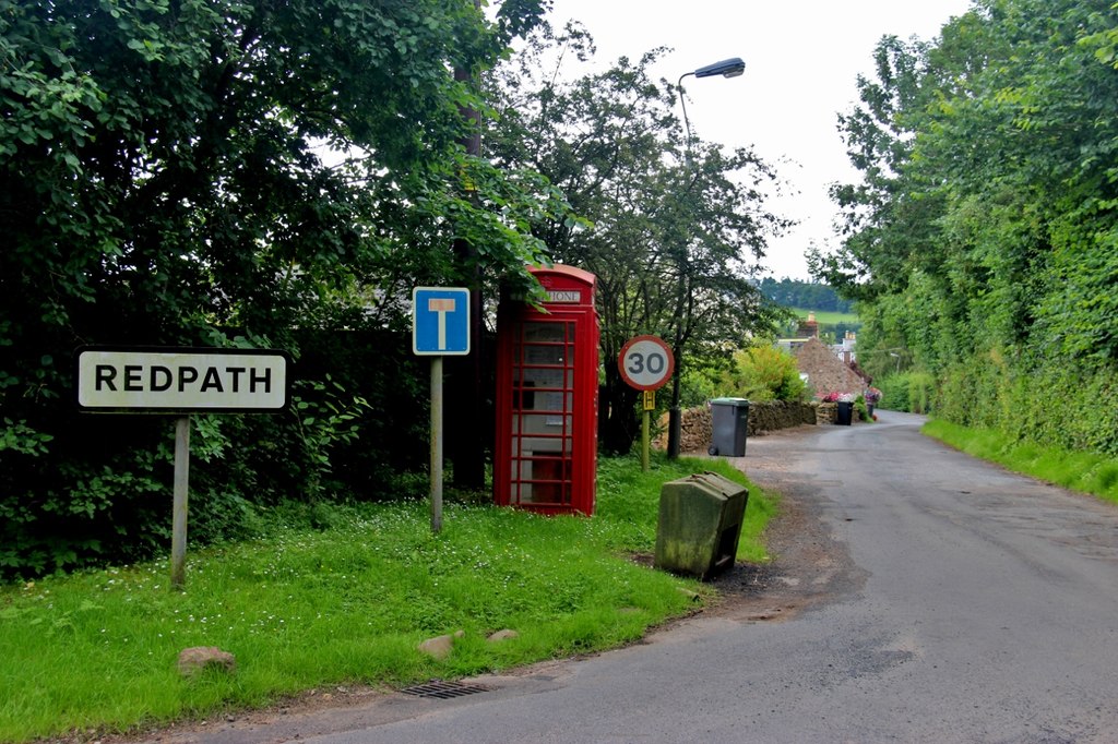
Redpath, Scottish Borders

Redpath (Scots: Rippath) is a small village located between the larger settlements of Earlston, 2 miles (3.2 km) to the north, and St Boswells, 3 miles...
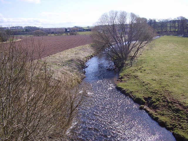
Leader Water

Leader Water is a small tributary of the River Tweed in Lauderdale in the Scottish Borders. It flows southwards from the Lammermuir Hills through the towns...
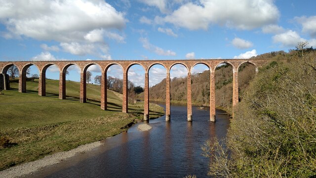
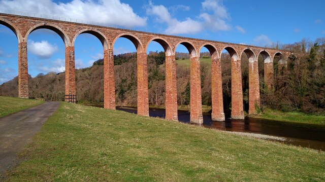
Leaderfoot Viaduct

The Leaderfoot Viaduct, also known as the Drygrange Viaduct, is a railway viaduct over the River Tweed near Melrose in the Scottish Borders. == History... ==

Nearby Amenities

Located within 500m of 55.619904,-2.6826042
Natural: peak
Lat/Long: 55.6216608/-2.6886271
Power: tower
Lat/Long: 55.6164991/-2.6810336
Power: tower
Lat/Long: 55.6167772/-2.6838498
Power: tower
Lat/Long: 55.6170418/-2.6865281
Power: tower
Lat/Long: 55.6172794/-2.6889339
Communication Mobile Phone: yes
Man Made: antenna
Lat/Long: 55.6214458/-2.6869045
Power: pole
Lat/Long: 55.6164474/-2.6780502
Power: pole
Lat/Long: 55.6171761/-2.6784294
Power: pole
Lat/Long: 55.6178717/-2.6787711
Material: wood
Power: pole
Lat/Long: 55.6187254/-2.6791904
Power: pole
Lat/Long: 55.6194357/-2.6795442
Power: pole
Lat/Long: 55.6201486/-2.679903
Power: pole
Lat/Long: 55.6208786/-2.680267
Power: pole
Lat/Long: 55.6215742/-2.6805978
Power: pole
Lat/Long: 55.6221749/-2.6807454
Power: pole
Lat/Long: 55.622777/-2.6808981
Power: pole
Lat/Long: 55.6234496/-2.6810483
Power: pole
Lat/Long: 55.624089/-2.6811883
Power: pole
Lat/Long: 55.6180718/-2.6774037
Power: pole
Lat/Long: 55.6183233/-2.6758182
Power: pole
Lat/Long: 55.6233763/-2.6855175
Power: pole
Lat/Long: 55.6239726/-2.6856218
Power: pole
Lat/Long: 55.6234912/-2.6822089
Power: pole
Lat/Long: 55.6235358/-2.6833567
Power: pole
Lat/Long: 55.62352/-2.6839726
Power: pole
Lat/Long: 55.6232743/-2.6866551
Power: pole
Lat/Long: 55.6231693/-2.6879124
Power: pole
Lat/Long: 55.6222769/-2.6877546
Power: pole
Lat/Long: 55.6214334/-2.6875968
Power: pole
Lat/Long: 55.6233289/-2.6798623
Power: pole
Lat/Long: 55.6232426/-2.6789079
Material: wood
Power: pole
Lat/Long: 55.623359/-2.6781851
The data included in this document is from www.openstreetmap.org. The data is made available under ODbL.

Have you been to Roundel Wood?

Leave your review of Roundel Wood below (or comments, questions and feedback).