Chadkirk
Settlement in Cheshire
England
Chadkirk
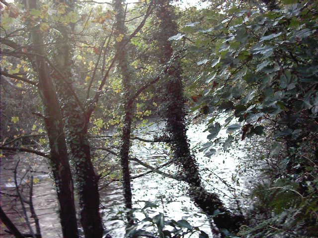
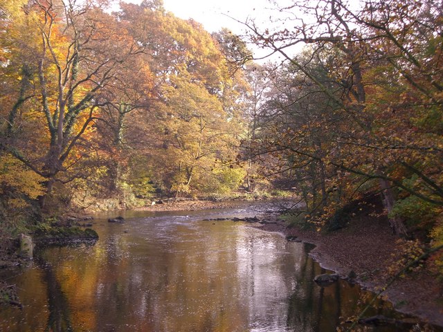
Chadkirk is a historical hamlet located in Cheshire, England. Situated on the banks of the River Goyt, it is nestled between the towns of Romiley and Marple. This picturesque location offers stunning views of the surrounding countryside, characterized by rolling hills, lush farmland, and wooded areas.
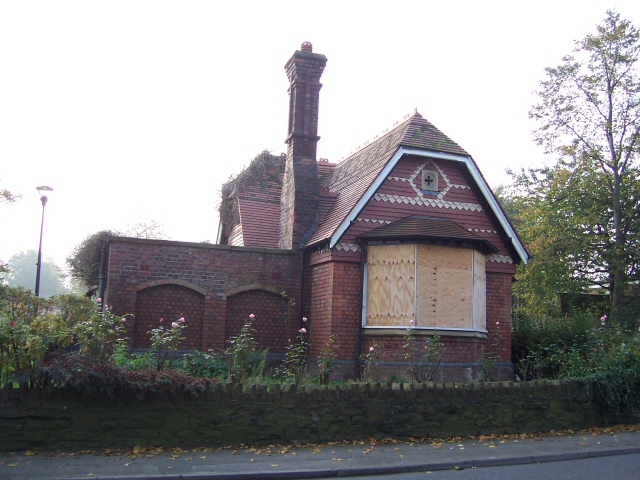
The heart of Chadkirk is the Chadkirk Chapel, a Grade II listed building dating back to the 16th century. This charming chapel, surrounded by well-maintained gardens, is an architectural gem and a popular spot for weddings and events. It is also home to a small visitor center, providing historical information about the area.
Chadkirk is known for its idyllic countryside setting, making it a haven for nature enthusiasts. The hamlet is surrounded by Chadkirk Country Estate, a 60-acre parkland offering walking trails, picnic areas, and a variety of wildlife. Visitors can explore the woodlands, meadows, and orchards, and enjoy the tranquility of the riverbanks.
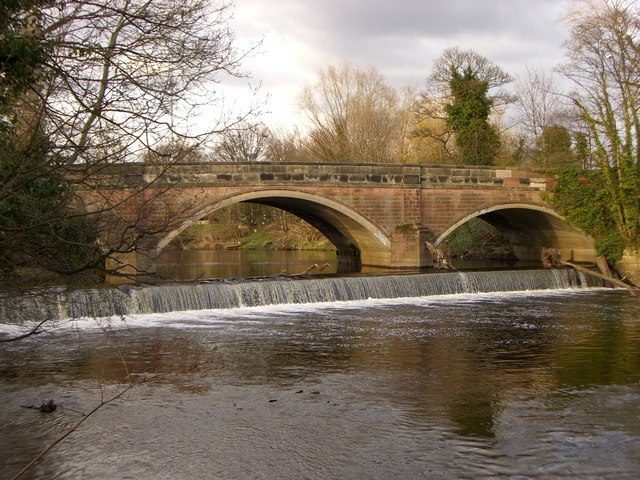
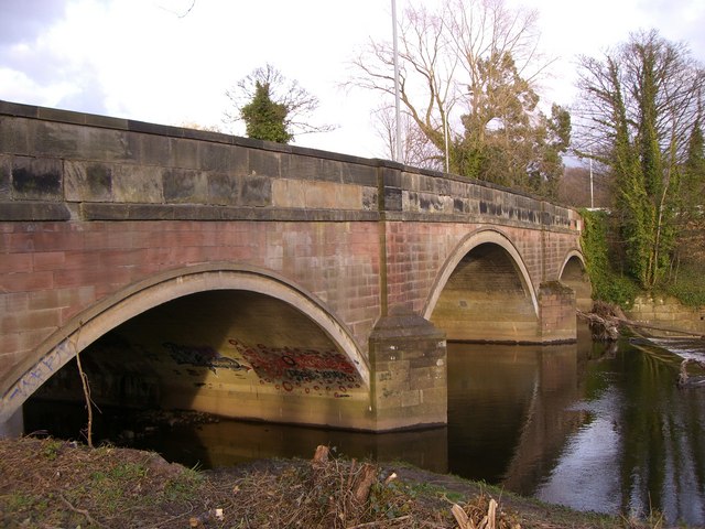
The area around Chadkirk is steeped in history, with evidence of human habitation dating back to the Neolithic period. The nearby Marple Aqueduct, a feat of engineering, is a testament to the area's industrial heritage. Additionally, the hamlet is close to attractions like Lyme Park and Marple Locks, providing ample opportunities for exploration and discovery.
Chadkirk offers a peaceful retreat from the bustling city life, with its natural beauty and rich history. Whether it's a leisurely stroll along the river, a visit to the chapel, or an adventure through the countryside, Chadkirk provides a captivating experience for locals and visitors alike.
If you have any feedback on the listing, please let us know in the comments section below.
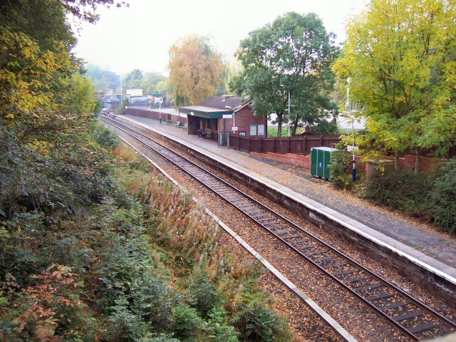
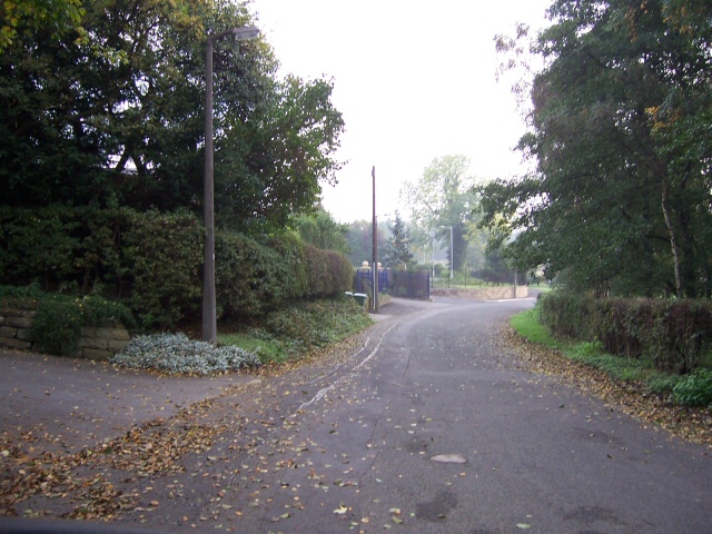
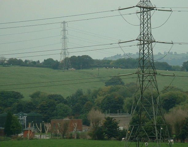
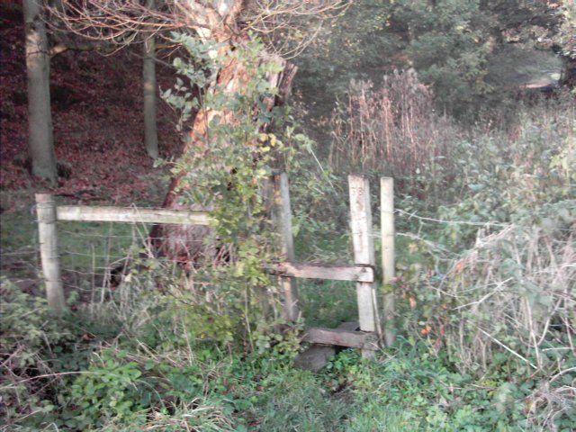
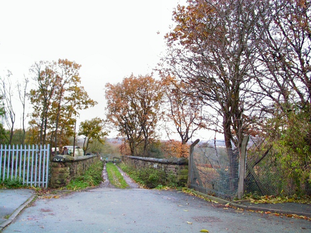
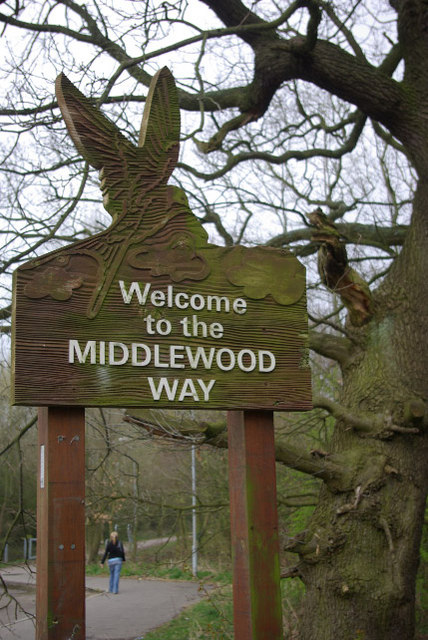
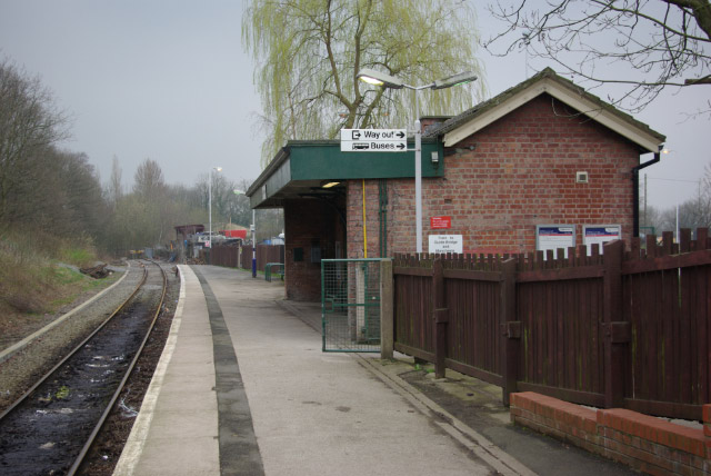
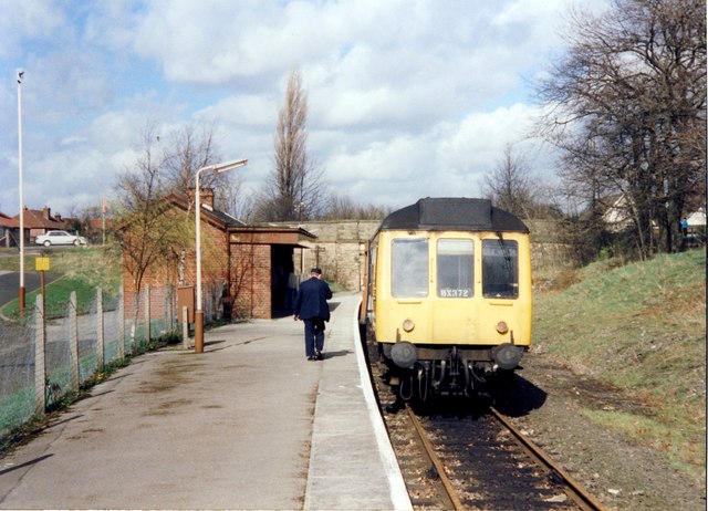
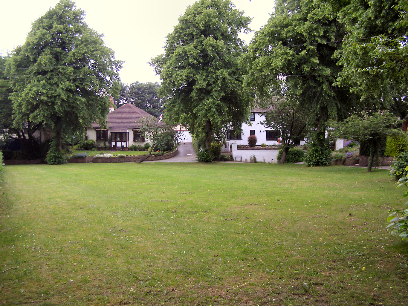
Chadkirk Images
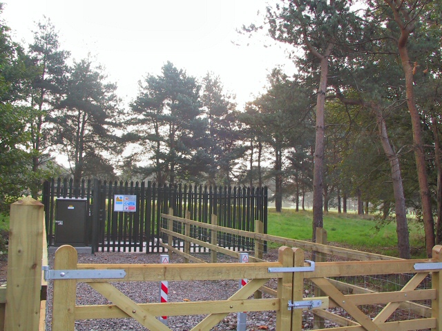
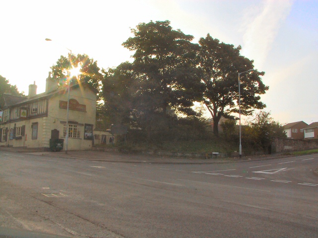
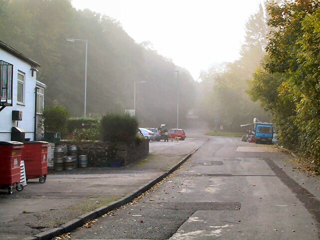
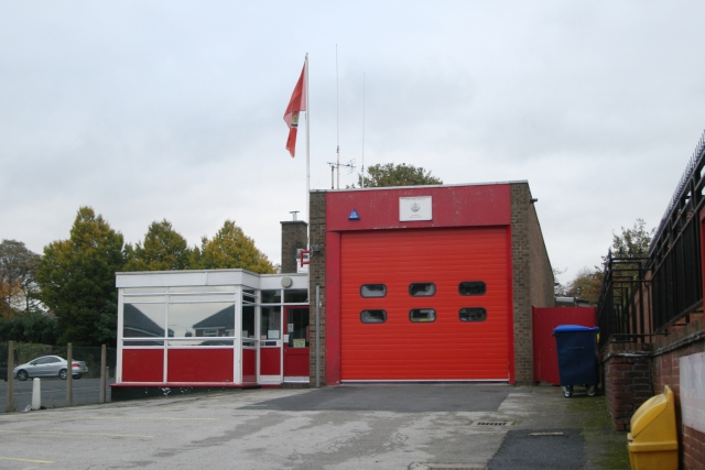
Images are sourced within 2km of 53.397793/-2.0916987 or Grid Reference SJ9489. Thanks to Geograph Open Source API. All images are credited.

Chadkirk is located at Grid Ref: SJ9489 (Lat: 53.397793, Lng: -2.0916987)
Unitary Authority: Stockport
Police Authority: Greater Manchester
What 3 Words
///heave.enhancement.takes. Near Marple, Manchester
Nearby Locations
Related Wikis
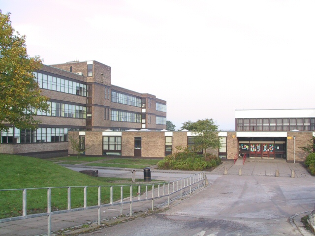
Marple Hall School
Marple Hall School is a secondary school located in Marple, Greater Manchester. == Admissions == The headteacher is Joseph Barker. The school is situated...

Old Manor Farm, Marple
Old Manor Farm is a 15th-century hall in Marple, Stockport, historically in Cheshire, now within Greater Manchester, England (grid reference SJ945885)...
Offerton Green
Offerton Green is a village in Stockport, England. The village is little more than a green surrounded by houses, closely neighbouring nearby areas of Bosden...

Chadkirk
Chadkirk is an area in the Metropolitan Borough of Stockport in Greater Manchester, England. It is located between the River Goyt and the Peak Forest Canal...
Nearby Amenities
Located within 500m of 53.397793,-2.0916987Have you been to Chadkirk?
Leave your review of Chadkirk below (or comments, questions and feedback).