Turncliff Wood

Wood, Forest in Cheshire

England

Turncliff Wood

Peaceful Canal Scene Rural Canal bridge at Marple Locks
Peaceful Canal Scene Credit: Roger May

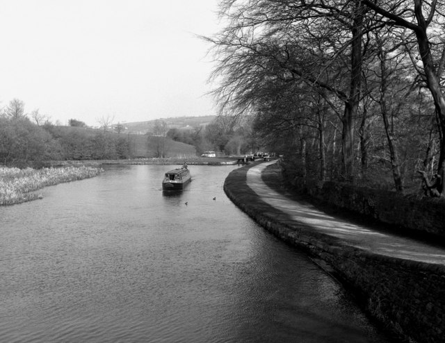
Turncliff Wood is a charming woodland located in the county of Cheshire, England. Situated near the village of Turncliff, this forested area spans approximately 100 acres and offers a serene and picturesque setting for nature enthusiasts and outdoor adventurers.

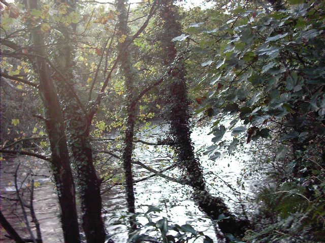
The wood is predominantly composed of native broadleaf trees, including oak, beech, and birch, creating a rich and diverse ecosystem. It is home to a variety of plant and animal species, making it a haven for wildlife lovers. Exploring the wood, visitors can spot squirrels darting between trees, hear the melodic chirping of birds, and, if lucky, catch glimpses of deer grazing in the undergrowth.

A network of well-maintained footpaths and trails crisscrosses the wood, allowing visitors to easily navigate and explore its natural wonders. These paths wind through dense foliage, opening up to tranquil clearings and babbling brooks. The wood is especially beautiful during spring, when bluebells carpet the forest floor, creating a breathtaking floral display.

Turncliff Wood also has a rich history, with records tracing its existence as far back as the 13th century. In the past, it played a significant role in the timber industry, supplying wood for construction and fuel. Today, it serves as a recreational space, offering opportunities for walking, hiking, and nature photography.

With its natural beauty, diverse wildlife, and historical significance, Turncliff Wood is a true gem of Cheshire. It provides a peaceful escape from the hustle and bustle of daily life, allowing visitors to immerse themselves in the tranquil beauty of nature.

If you have any feedback on the listing, please let us know in the comments section below.

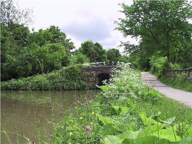
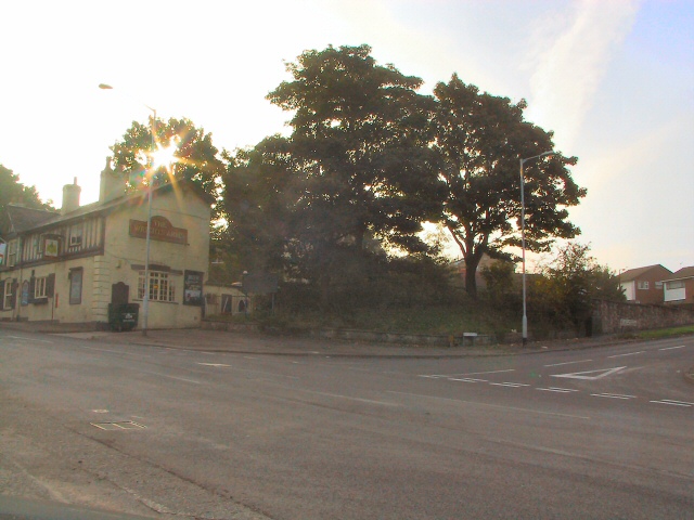
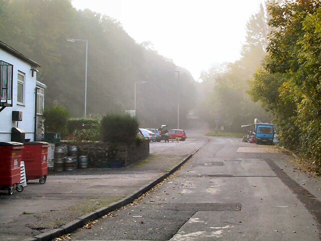
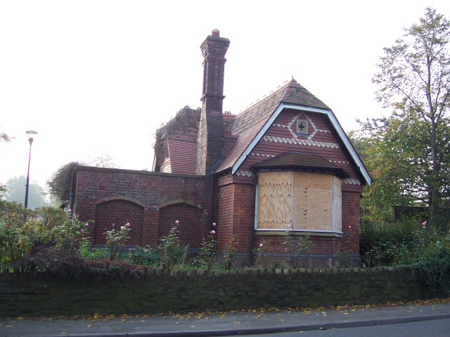
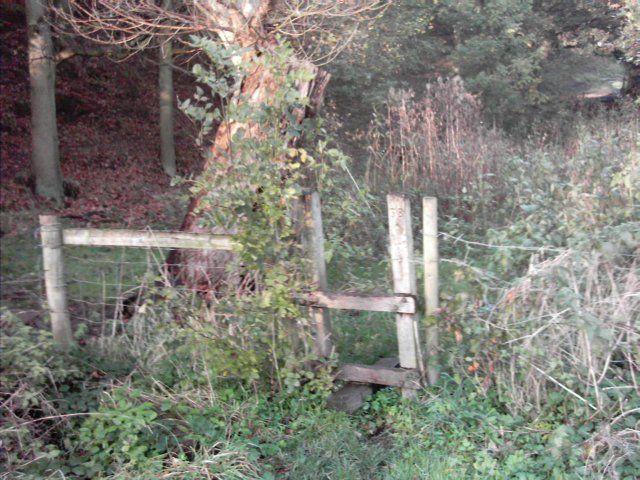
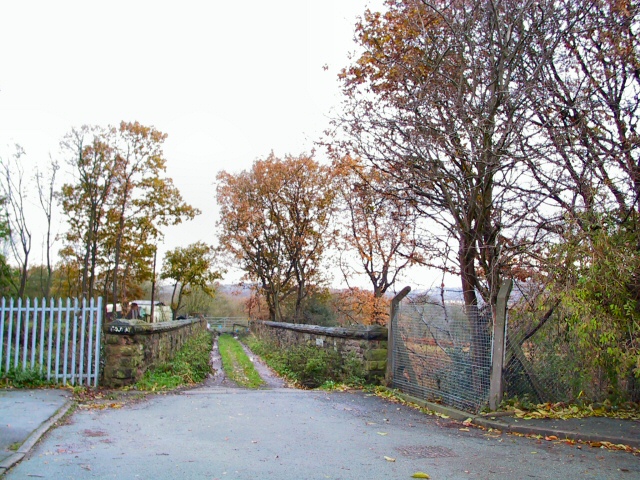
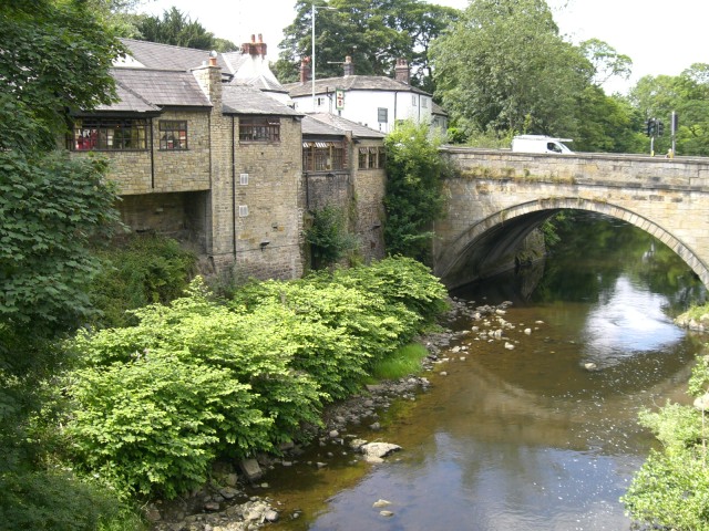
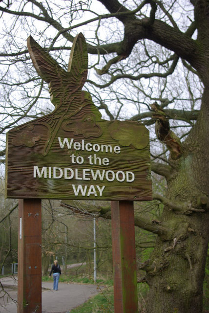
Turncliff Wood Images

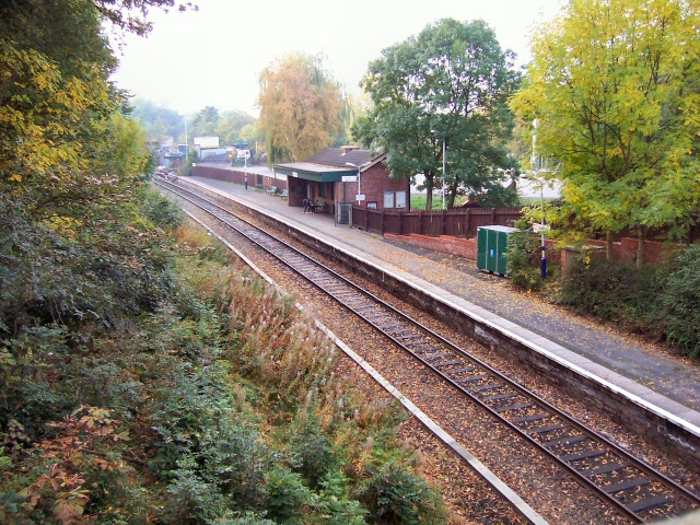
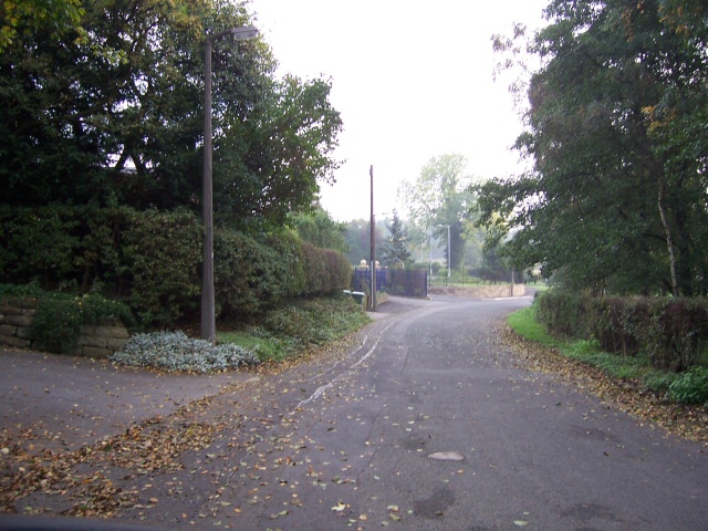
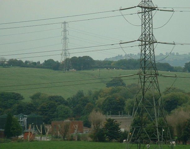
Images are sourced within 2km of 53.403865/-2.0851839 or Grid Reference SJ9489. Thanks to Geograph Open Source API. All images are credited.

Peaceful Canal Scene Rural Canal bridge at Marple Locks
Peaceful Canal Scene
Rural Canal bridge at Marple Locks
Sunup at Offerton Green Early morning sun through the trees dazzles those waiting at the bus-stop at the end of Bean Leach Lane.
Sunup at Offerton Green
Early morning sun through the trees dazzles those waiting at the bus-stop at the end of Bean Leach Lane.
Farmers' Market Early Sunday morning assembly of fruit and veg sellers behind the pub on Dooley Lane, Marple.  The mist has not yet burned off.
Farmers' Market
Early Sunday morning assembly of fruit and veg sellers behind the pub on Dooley Lane, Marple. The mist has not yet burned off.
Marple Hall School The Bradshaw Buildings, Marple Hall School.
Marple Hall School
The Bradshaw Buildings, Marple Hall School.
Room without a View Old Lodge at Marple, in front of the police station and adjacent to a park.
Now boarded up and long disused.
Room without a View
Old Lodge at Marple, in front of the police station and adjacent to a park. Now boarded up and long disused.
Rose Hill station Looking south from the road bridge above the station. The northbound platform (on the right of shot) is just within the square.
Rose Hill station
Looking south from the road bridge above the station. The northbound platform (on the right of shot) is just within the square.
Old Torkington Road Before the new piece of road to the traffic lights was constructed, this section of road joined the A626 near Yew Tree Farm.
Old Torkington Road
Before the new piece of road to the traffic lights was constructed, this section of road joined the A626 near Yew Tree Farm.
Bunkers Hill and Sewage Works Looking over the Goyt valley from the SW
Bunkers Hill and Sewage Works
Looking over the Goyt valley from the SW
River  Goyt Looking downstream from a point on the Goyt Valley Way to the south of Bredbury Green.
River Goyt
Looking downstream from a point on the Goyt Valley Way to the south of Bredbury Green.
Stile A stile on the public footpath from Bredbury Green to the banks of the River Goyt to the east of Stockport.
Stile
A stile on the public footpath from Bredbury Green to the banks of the River Goyt to the east of Stockport.
Winnington Road Bridge At the end of Winnington Road, on the Ley Hey Park estate in Marple, the metalled road ends at this track crossing the railway bridge to the north of Rose Hill Station.
Winnington Road Bridge
At the end of Winnington Road, on the Ley Hey Park estate in Marple, the metalled road ends at this track crossing the railway bridge to the north of Rose Hill Station.
Marple Bridge
Marple Bridge
Welcome to the Middlewood Way The Middlewood Way is a cycleway and footpath which follows the course of the Macclesfield - Marple railway, closed in 1970.
Welcome to the Middlewood Way
The Middlewood Way is a cycleway and footpath which follows the course of the Macclesfield - Marple railway, closed in 1970.
Rose Hill Marple Station Since 1970, this station has been the terminus of a short branch with a regular service to Manchester. The line used to continue southwards to Bollington and Macclesfield.
Rose Hill Marple Station
Since 1970, this station has been the terminus of a short branch with a regular service to Manchester. The line used to continue southwards to Bollington and Macclesfield.
Marple Locks, Peak Forest Canal The boat has just ascended the second lock from the bottom. These locks were only restored in the 1970s after a long period of disuse and dereliction.
Marple Locks, Peak Forest Canal
The boat has just ascended the second lock from the bottom. These locks were only restored in the 1970s after a long period of disuse and dereliction.
Marple Locks, Peak Forest Canal At the lower end, the Marple locks are set in the wild and unpopulated Goyt Valley, but as they rise, the canal passes into the very attractive village of Marple, one of the most desirable areas of the Greater Manchester region.
Marple Locks, Peak Forest Canal
At the lower end, the Marple locks are set in the wild and unpopulated Goyt Valley, but as they rise, the canal passes into the very attractive village of Marple, one of the most desirable areas of the Greater Manchester region.
Marple Locks, Peak Forest Canal The high quality of the stonework of these locks can be seen.  The restoration was very well done to the same standards.
Marple Locks, Peak Forest Canal
The high quality of the stonework of these locks can be seen. The restoration was very well done to the same standards.
Marple Locks, Peak Forest Canal
Show me another place!

Turncliff Wood is located at Grid Ref: SJ9489 (Lat: 53.403865, Lng: -2.0851839)

Unitary Authority: Stockport

Police Authority: Greater Manchester

What 3 Words

///vest.reform.issued. Near Marple, Manchester

Related Wikis

Chadkirk

Chadkirk is an area in the Metropolitan Borough of Stockport in Greater Manchester, England. It is located between the River Goyt and the Peak Forest Canal...
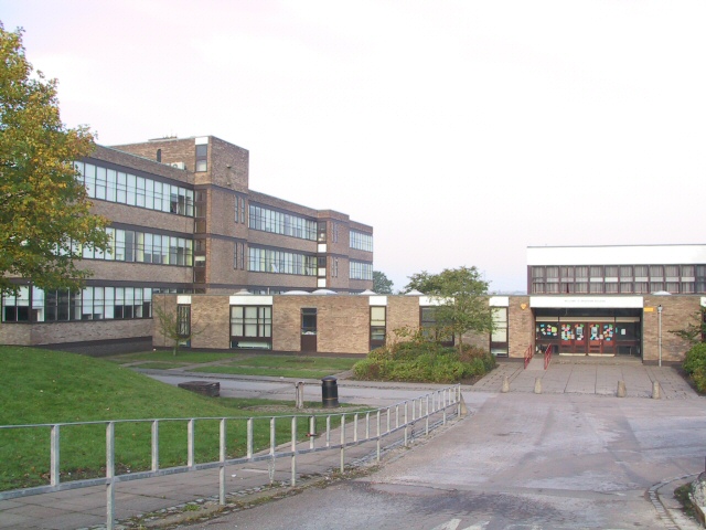
Marple Hall School

Marple Hall School is a secondary school located in Marple, Greater Manchester. == Admissions == The headteacher is Joseph Barker. The school is situated...

Chadkirk Chapel

Chadkirk Chapel is a restored historic chapel near Romiley in the Metropolitan Borough of Stockport in Greater Manchester, England. It is recorded in...

Romiley

Romiley is a village in the Metropolitan Borough of Stockport, Greater Manchester, England. Historically part of Cheshire, it borders Marple, Bredbury...

Nearby Amenities

Located within 500m of 53.403865,-2.0851839
Power: tower
Lat/Long: 53.4054885/-2.081349
Power: tower
Lat/Long: 53.4052243/-2.0862855
Barrier: cycle_barrier
Material: metal
Lat/Long: 53.4002789/-2.0850163
Ford: yes
Lat/Long: 53.4051339/-2.0901905
Access: private
Leisure: pitch
Sport: soccer
Surface: grass
Lat/Long: 53.4006888/-2.0892739
The data included in this document is from www.openstreetmap.org. The data is made available under ODbL.

Have you been to Turncliff Wood?

Leave your review of Turncliff Wood below (or comments, questions and feedback).