Chaddleworth

Settlement in Berkshire

England

Chaddleworth

Deciduous Tree on the verge of Hangman's Stone Lane This tree and farmland immediately surrounding it, is on the northern side of the road, on the northern edge of the square. The square is all farmland.
Deciduous Tree on the verge of Hangman's Stone Lane Credit: Pam Brophy

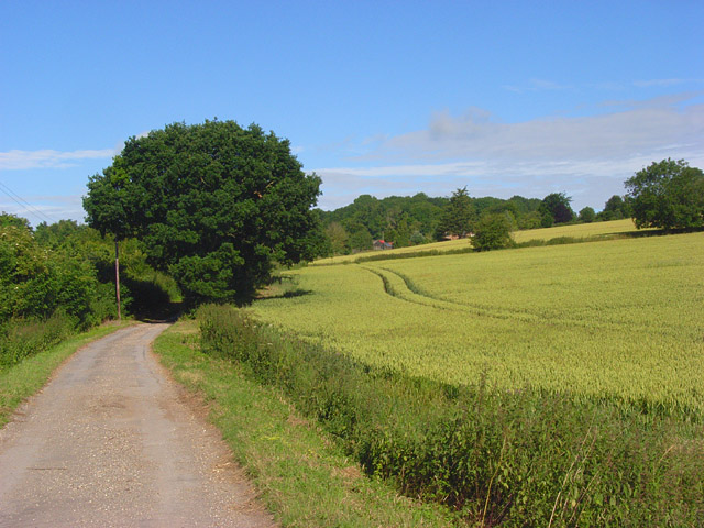
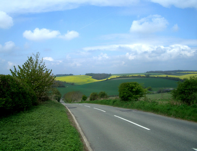
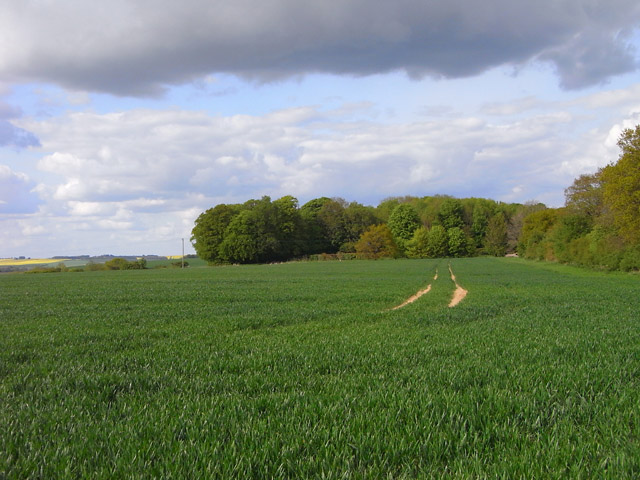
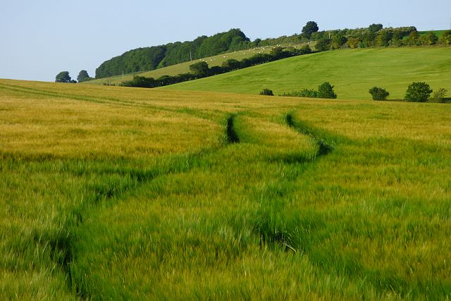
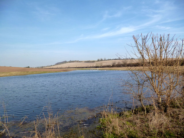
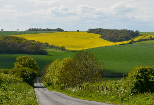
Chaddleworth is a charming village located in West Berkshire, England. Situated approximately 6 miles northeast of Newbury, it is nestled within the beautiful Berkshire Downs, an area known for its picturesque landscapes and rolling hills.

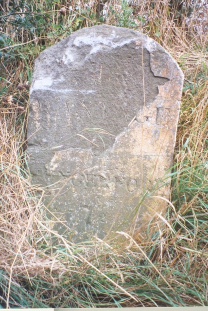
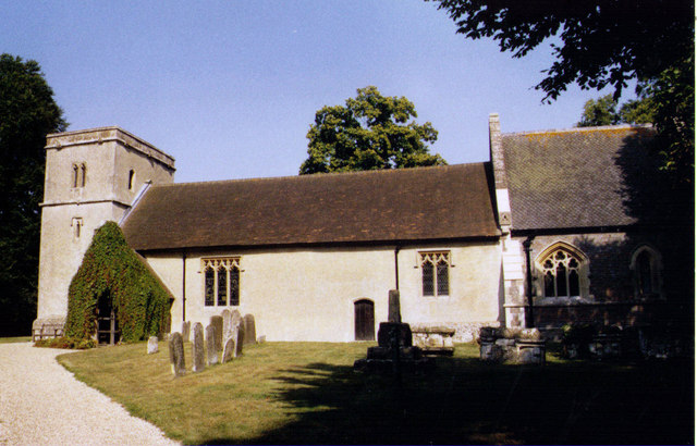
The village boasts a rich history, with evidence of human settlement dating back to the Iron Age. It is home to several historical landmarks, including the Grade I listed Church of St. Andrew, which dates back to the 12th century. The church’s architecture and intricate stained glass windows attract visitors from near and far.

Chaddleworth is known for its sense of community and friendly atmosphere. The village is home to a local primary school, providing education for children in the area. Additionally, it offers a range of amenities, including a village hall, a post office, and a pub, all of which serve as important meeting points for residents.

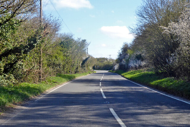
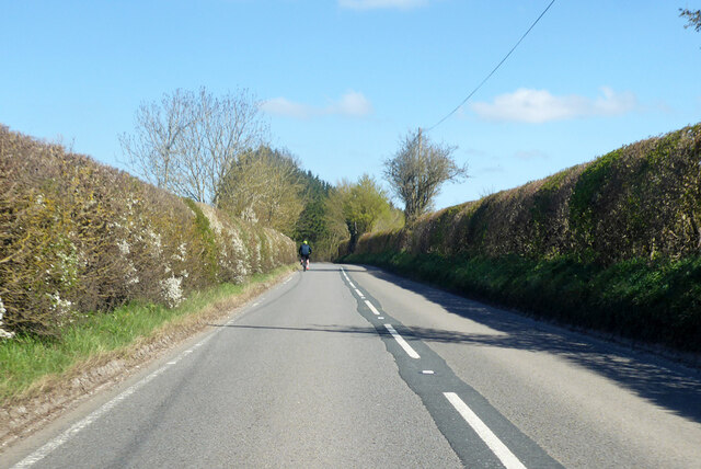
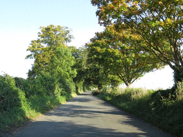
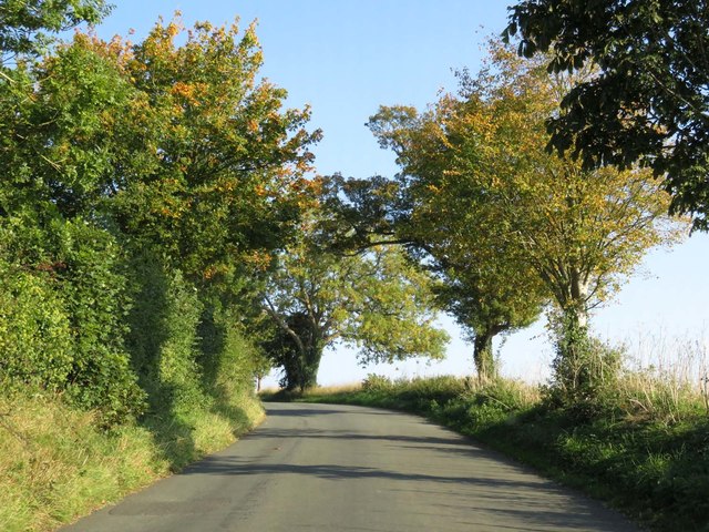
Surrounded by stunning countryside, Chaddleworth offers numerous opportunities for outdoor activities. The area is crisscrossed with footpaths and bridleways, making it perfect for walkers, cyclists, and horse riders. The nearby Combe Gibbet, a historic monument atop a picturesque hill, provides breathtaking views of the surrounding countryside and is a popular destination for hikers.

Although a relatively small village, Chaddleworth benefits from its proximity to larger towns and cities. Newbury, with its shopping centers, restaurants, and leisure facilities, is just a short drive away, offering residents easy access to a wider range of amenities.

In summary, Chaddleworth is a delightful village in Berkshire that offers a blend of history, natural beauty, and a close-knit community spirit.

If you have any feedback on the listing, please let us know in the comments section below.

Chaddleworth Images

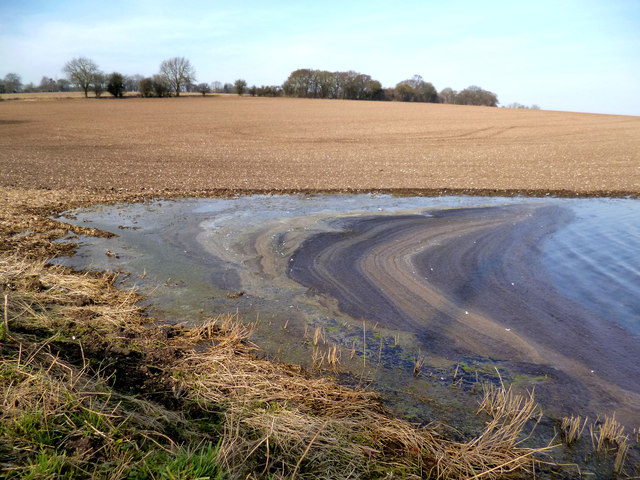
Images are sourced within 2km of 51.495028/-1.405419 or Grid Reference SU4177. Thanks to Geograph Open Source API. All images are credited.

Deciduous Tree on the verge of Hangman's Stone Lane This tree and farmland immediately surrounding it, is on the northern side of the road, on the northern edge of the square. The square is all farmland.
Deciduous Tree on the verge of Hangman's Stone Lane
This tree and farmland immediately surrounding it, is on the northern side of the road, on the northern edge of the square. The square is all farmland.
Farmland, Great Shefford Wheat alongside the restricted byway to Henley Farm.
Farmland, Great Shefford
Wheat alongside the restricted byway to Henley Farm.
The Shefford Valley A view over the top end of this dry valley from the hill on the eastern side.
Did I say dry. Most years a stream forms during the winter in the lower section of the valley.
A few years ago so much water was trying to get down a partially blocked and poorly maintained channel that some properties in Great Shefford were flooded.
A couple of editions before the present one, the OS map even showed a pond at the bottom of this hill. There could well have been when they did their survey, but it's only there for a few weeks every few years.
The Shefford Valley
A view over the top end of this dry valley from the hill on the eastern side. Did I say dry. Most years a stream forms during the winter in the lower section of the valley. A few years ago so much water was trying to get down a partially blocked and poorly maintained channel that some properties in Great Shefford were flooded. A couple of editions before the present one, the OS map even showed a pond at the bottom of this hill. There could well have been when they did their survey, but it's only there for a few weeks every few years.
Farmland, Chaddleworth A crop of wheat to the south of Buckham Hill.
Farmland, Chaddleworth
A crop of wheat to the south of Buckham Hill.
Old Milestone by the A338, north of Great Shefford Carved stone post by the A338, in parish of Great Shefford (West Berkshire District), Watcombe, South of lane to Henley Farm, on very steep narrow grass bank, on East side of road. Besselsleigh tombstone, erected by the Besselsleigh turnpike trust in the 18th century. 

Inscription reads:-
To
WANTAGE
6
HUNGERFORD
7½
Carved benchmark on top.

Grade II listed.
List Entry Number: 1321878 <span class="nowrap"><a title="https://historicengland.org.uk/listing/the-list/list-entry/1321878" rel="nofollow ugc noopener" href="https://historicengland.org.uk/listing/the-list/list-entry/1321878">Link</a><img style="margin-left:2px;" alt="External link" title="External link - shift click to open in new window" src="https://s1.geograph.org.uk/img/external.png" width="10" height="10"/></span>

Milestone Society National ID: BE_WAHG06
Old Milestone by the A338, north of Great Shefford
Carved stone post by the A338, in parish of Great Shefford (West Berkshire District), Watcombe, South of lane to Henley Farm, on very steep narrow grass bank, on East side of road. Besselsleigh tombstone, erected by the Besselsleigh turnpike trust in the 18th century. Inscription reads:- To WANTAGE 6 HUNGERFORD 7½ Carved benchmark on top. Grade II listed. List Entry Number: 1321878 LinkExternal link Milestone Society National ID: BE_WAHG06
Farmland, Great Shefford Fields of barley either side of the A338.
Farmland, Great Shefford
Fields of barley either side of the A338.
A338 towards Wantage
The Shefford Stream at Henley Farm The Shefford Stream is an ephemeral chalk stream which only flows after exceptionally wet conditions have raised underground water levels high enough for flow to start along this usually dry valley.
Downstream towards Great Shefford there is a proper channel, dry most years, but here in this upper section the water is left to find its own way, as you can see.
Flow can last anything from a week or so to several months.
This water will join the Lambourn at Great Shefford.
Nothing can be done about it, so it's business as usual above the water line.
The Shefford Stream at Henley Farm
The Shefford Stream is an ephemeral chalk stream which only flows after exceptionally wet conditions have raised underground water levels high enough for flow to start along this usually dry valley. Downstream towards Great Shefford there is a proper channel, dry most years, but here in this upper section the water is left to find its own way, as you can see. Flow can last anything from a week or so to several months. This water will join the Lambourn at Great Shefford. Nothing can be done about it, so it's business as usual above the water line.
Lake at Henley Farm The Shefford Stream is an ephemeral chalk stream which only flows after exceptionally wet conditions have raised underground water levels high enough for flow to start along this usually dry valley.
Flow can last anything from a week or so to several months. When the water table drops again, this lake will sink back into the ground.
Lake at Henley Farm
The Shefford Stream is an ephemeral chalk stream which only flows after exceptionally wet conditions have raised underground water levels high enough for flow to start along this usually dry valley. Flow can last anything from a week or so to several months. When the water table drops again, this lake will sink back into the ground.
Stripey Sludge Just an arty pic. of windblown slime and dirt, really.
This is the edge of an ephemeral lake formed by high groundwater.
Stripey Sludge
Just an arty pic. of windblown slime and dirt, really. This is the edge of an ephemeral lake formed by high groundwater.
Old Pump, Henley Farm
Flood In The Yard The Shefford Stream is an ephemeral river that forms in this usually dry valley whenever groundwater levels are exceptionally high.
This business premises is at the bottom of the valley, so the stream goes straight through.
Flood In The Yard
The Shefford Stream is an ephemeral river that forms in this usually dry valley whenever groundwater levels are exceptionally high. This business premises is at the bottom of the valley, so the stream goes straight through.
The Shefford Stream at Trindledown Farm The Shefford Stream, an ephemeral river which appears in this valley only when groundwater levels are exceptionally high, is flowing well this year.
The Shefford Stream at Trindledown Farm
The Shefford Stream, an ephemeral river which appears in this valley only when groundwater levels are exceptionally high, is flowing well this year.
View from Buckham Hill At the top of a steep descent to Wantage Road in the valley.
View from Buckham Hill
At the top of a steep descent to Wantage Road in the valley.
Buckham Hill, Chaddleworth, Berkshire A steep rollercoaster of a hill with fab views to the west. The poles in the distant field of rapeseed carry power lines.
Buckham Hill, Chaddleworth, Berkshire
A steep rollercoaster of a hill with fab views to the west. The poles in the distant field of rapeseed carry power lines.
The road to Brightwalton
Show me another place!

Chaddleworth is located at Grid Ref: SU4177 (Lat: 51.495028, Lng: -1.405419)

Unitary Authority: West Berkshire

Police Authority: Thames Valley

What 3 Words

///prime.mailers.gashes. Near Chaddleworth, Berkshire

Nearby Locations

Nodmore Chaddleworth

Related Wikis

Chaddleworth

Chaddleworth is a village and civil parish in the English county of Berkshire. == Geography == The village of Chaddleworth lies below the southern slopes...

Brightwalton Green

Brightwalton Green is a hamlet in the civil parish of Brightwalton in the county of Berkshire, England. The settlement lies near to the A338 road, and...

West Berkshire Golf Club

West Berkshire Golf Club is a golf club located in Chaddleworth, Berkshire, England. It is located about 3 miles from Woodlands St Mary. The club was established...

Poughley Priory

Poughley Priory was a priory of Austin Canons at Chaddleworth in the English county of Berkshire, located between Great Shefford and Leckhampstead. It...

Nearby Amenities

Located within 500m of 51.495028,-1.405419
Bar
The Ibex
Lat/Long: 51.4930167/-1.4023151
Chaddleworth
Place: village
Wikidata: Q3061250
Lat/Long: 51.4935149/-1.4033661
Turning Circle
Lat/Long: 51.4927002/-1.4014866
Power: pole
Source: Bing
Lat/Long: 51.4921942/-1.405633
Power: pole
Source: Bing
Lat/Long: 51.4931469/-1.4072866
Power: pole
Source: Bing
Lat/Long: 51.4954473/-1.4012906
Power: pole
Source: Bing
Lat/Long: 51.4959398/-1.3997537
Power: pole
Source: Bing
Lat/Long: 51.4949563/-1.4028919
Power: pole
Source: Bing
Lat/Long: 51.4908599/-1.4050323
Power: pole
Source: Bing
Lat/Long: 51.492468/-1.4081329
Power: pole
Source: Bing
Lat/Long: 51.4917767/-1.4090556
Power: pole
Source: Bing
Lat/Long: 51.4938283/-1.4063975
Power: pole
Source: Bing
Lat/Long: 51.4944451/-1.4044473
Power: pole
Source: Bing
Lat/Long: 51.4929641/-1.3992036
Power: pole
Source: Bing
Lat/Long: 51.4934901/-1.4009954
Power: pole
Source: Bing
Lat/Long: 51.4934399/-1.401859
Power: pole
Source: Bing
Lat/Long: 51.4934567/-1.4029695
Power: pole
Source: Bing
Lat/Long: 51.493238/-1.4023939
Power: pole
Source: Bing
Lat/Long: 51.4936003/-1.4014889
Power: pole
Source: Bing
Lat/Long: 51.4932213/-1.4000512
Telephone
Defibrillator
Booth: K6
Covered: booth
Defibrillator Location: inside old red phone box in Chaddleworth
Emergency: defibrillator
Man Made: telephone_box
Lat/Long: 51.4931699/-1.4023893
Give Way
Direction: backward
Lat/Long: 51.49273/-1.4032746
Post Box
Operator: Royal Mail
Post Box Type: lamp
Ref: RG20 212D
Royal Cypher: EIIR
Lat/Long: 51.4939371/-1.4042544
Historic: memorial
Memorial: war_memorial
Lat/Long: 51.4929155/-1.4032298
The data included in this document is from www.openstreetmap.org. The data is made available under ODbL.

Have you been to Chaddleworth?

Leave your review of Chaddleworth below (or comments, questions and feedback).