Nodmore

Settlement in Berkshire

England

Nodmore

The Shefford Valley A view over the top end of this dry valley from the hill on the eastern side.
Did I say dry. Most years a stream forms during the winter in the lower section of the valley.
A few years ago so much water was trying to get down a partially blocked and poorly maintained channel that some properties in Great Shefford were flooded.
A couple of editions before the present one, the OS map even showed a pond at the bottom of this hill. There could well have been when they did their survey, but it's only there for a few weeks every few years.
The Shefford Valley Credit: Des Blenkinsopp

The requested URL returned error: 429 Too Many Requests

If you have any feedback on the listing, please let us know in the comments section below.
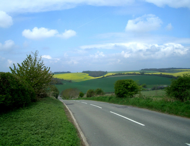
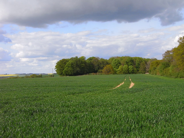
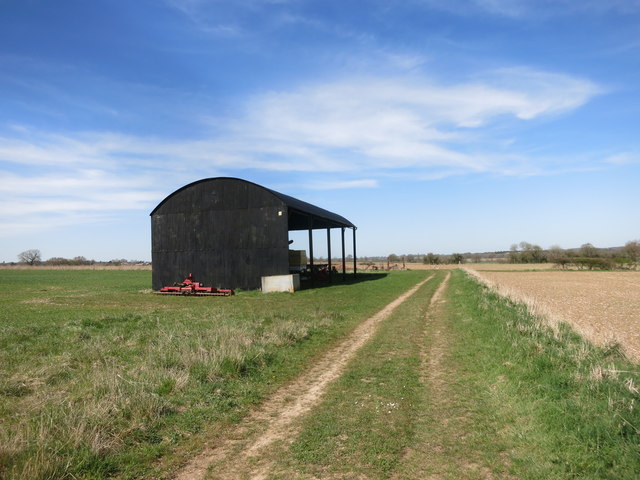
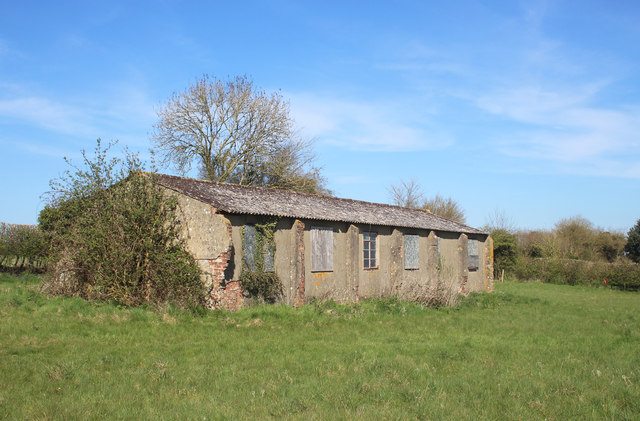
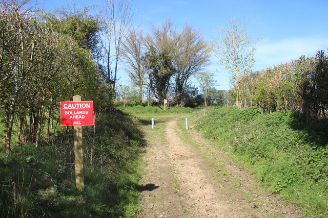
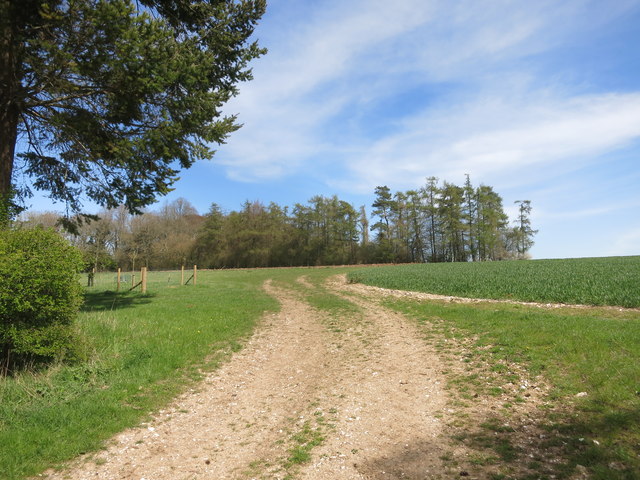
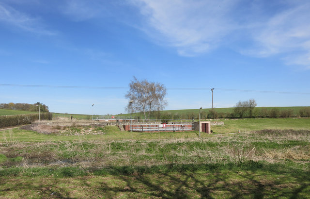
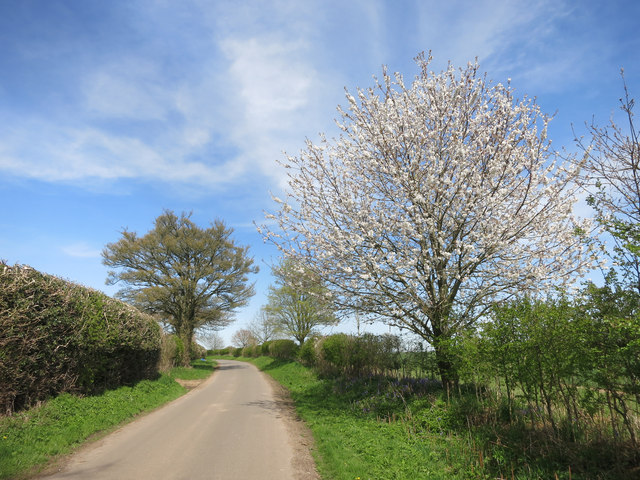
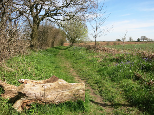
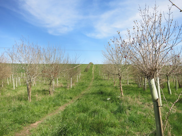
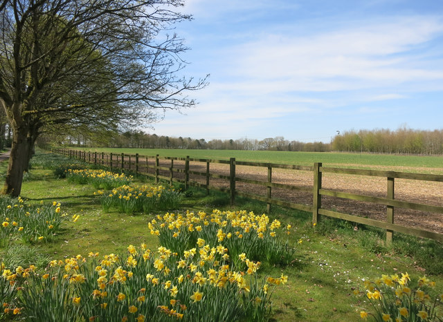
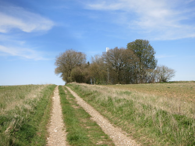
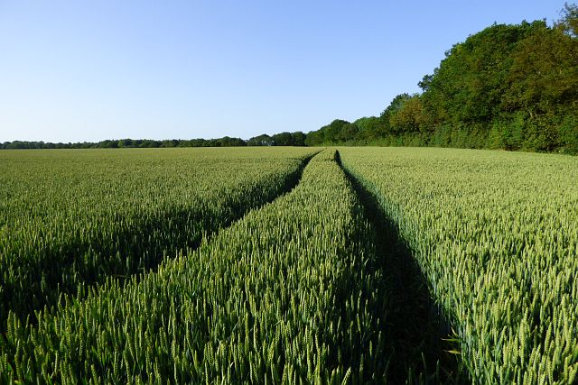
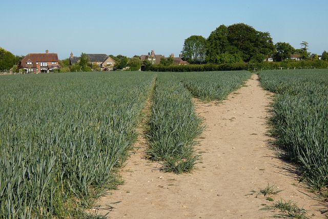
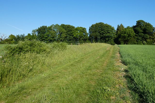
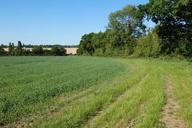
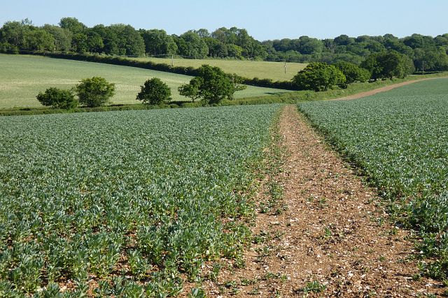
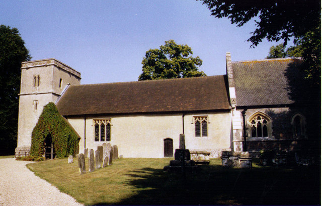
Nodmore Images

Images are sourced within 2km of 51.491714/-1.400766 or Grid Reference SU4177. Thanks to Geograph Open Source API. All images are credited.

The Shefford Valley A view over the top end of this dry valley from the hill on the eastern side.
Did I say dry. Most years a stream forms during the winter in the lower section of the valley.
A few years ago so much water was trying to get down a partially blocked and poorly maintained channel that some properties in Great Shefford were flooded.
A couple of editions before the present one, the OS map even showed a pond at the bottom of this hill. There could well have been when they did their survey, but it's only there for a few weeks every few years.
The Shefford Valley
A view over the top end of this dry valley from the hill on the eastern side. Did I say dry. Most years a stream forms during the winter in the lower section of the valley. A few years ago so much water was trying to get down a partially blocked and poorly maintained channel that some properties in Great Shefford were flooded. A couple of editions before the present one, the OS map even showed a pond at the bottom of this hill. There could well have been when they did their survey, but it's only there for a few weeks every few years.
Farmland, Chaddleworth A crop of wheat to the south of Buckham Hill.
Farmland, Chaddleworth
A crop of wheat to the south of Buckham Hill.
View from Buckham Hill At the top of a steep descent to Wantage Road in the valley.
View from Buckham Hill
At the top of a steep descent to Wantage Road in the valley.
Black Barn near Leckhampstead Thicket
Derelict Hut near Manor Farm Standing on its own in the corner of a field, this old place has the look of something left over from WW2.  I guess it was an outbuilding from RAF Welford which is nearby.
Derelict Hut near Manor Farm
Standing on its own in the corner of a field, this old place has the look of something left over from WW2. I guess it was an outbuilding from RAF Welford which is nearby.
Bollards Ahead Not what you'd expect, but bollards there are, and quite new ones. The small print on the notice says West Berkshire, so it looks like the council put them in.
Bollards Ahead
Not what you'd expect, but bollards there are, and quite new ones. The small print on the notice says West Berkshire, so it looks like the council put them in.
Track into Stirt Copse
Leckhampstead STW A small sewage treatment works belonging to Thames Water.
Leckhampstead STW
A small sewage treatment works belonging to Thames Water.
Lane near Oak Ash Farm
Path near Oak Ash Farm In a lot better state than when Graham was here <a href="https://www.geograph.org.uk/photo/862733">SU4277 : Welcome to the footpath</a>
The old iron has been replaced by a log, but I suspect the purpose of both is to deter off-roaders.
Path near Oak Ash Farm
In a lot better state than when Graham was here SU4277 : Welcome to the footpath The old iron has been replaced by a log, but I suspect the purpose of both is to deter off-roaders.
Footpath to Leckhampstead
Daffodils down the drive The driveway to Oak Ash Farm is also a public footpath.
Daffodils down the drive
The driveway to Oak Ash Farm is also a public footpath.
Track near Leckhampstead Leading to the radio mast in the wood and a barn beyond that.
Also a public footpath.
Track near Leckhampstead
Leading to the radio mast in the wood and a barn beyond that. Also a public footpath.
Farmland, Welford A crop of wheat beside Elton Lane as it approaches the golf course.
Farmland, Welford
A crop of wheat beside Elton Lane as it approaches the golf course.
Farmland, Brightwalton A footpath through wheat to the west of Brightwalton Green.
Farmland, Brightwalton
A footpath through wheat to the west of Brightwalton Green.
Farmland, Chaddleworth A footpath between arable fields to the north of the church.
Farmland, Chaddleworth
A footpath between arable fields to the north of the church.
Farmland, Chaddleworth The footpath passes through the hedge here to re-enter the grounds of the golf club.
Farmland, Chaddleworth
The footpath passes through the hedge here to re-enter the grounds of the golf club.
Farmland, Chaddleworth A footpath descending through beans above Sheephouse Way.
Farmland, Chaddleworth
A footpath descending through beans above Sheephouse Way.
Show me another place!

Nodmore is located at Grid Ref: SU4177 (Lat: 51.491714, Lng: -1.400766)

Unitary Authority: West Berkshire

Police Authority: Thames Valley

What 3 Words

///garden.carpentry.played. Near Chaddleworth, Berkshire

Nearby Locations

Chaddleworth Nodmore

Related Wikis

Chaddleworth

Chaddleworth is a village and civil parish in the English county of Berkshire. == Geography == The village of Chaddleworth lies below the southern slopes...

Poughley Priory

Poughley Priory was a priory of Austin Canons at Chaddleworth in the English county of Berkshire, located between Great Shefford and Leckhampstead. It...

West Berkshire Golf Club

West Berkshire Golf Club is a golf club located in Chaddleworth, Berkshire, England. It is located about 3 miles from Woodlands St Mary. The club was established...

Brightwalton Green

Brightwalton Green is a hamlet in the civil parish of Brightwalton in the county of Berkshire, England. The settlement lies near to the A338 road, and...

Nearby Amenities

Located within 500m of 51.491714,-1.400766
Bar
The Ibex
Lat/Long: 51.4930167/-1.4023151
Chaddleworth
Place: village
Wikidata: Q3061250
Lat/Long: 51.4935149/-1.4033661
Turning Circle
Lat/Long: 51.4927002/-1.4014866
Power: pole
Source: Bing
Lat/Long: 51.4921942/-1.405633
Power: pole
Source: Bing
Lat/Long: 51.4931469/-1.4072866
Power: pole
Source: Bing
Lat/Long: 51.4954473/-1.4012906
Power: pole
Source: Bing
Lat/Long: 51.4959398/-1.3997537
Power: pole
Source: Bing
Lat/Long: 51.4949563/-1.4028919
Power: pole
Source: Bing
Lat/Long: 51.4908599/-1.4050323
Power: pole
Source: Bing
Lat/Long: 51.4898412/-1.4046246
Power: pole
Source: Bing
Lat/Long: 51.4938283/-1.4063975
Power: pole
Source: Bing
Lat/Long: 51.4885719/-1.4051288
Power: pole
Source: Bing
Lat/Long: 51.4944451/-1.4044473
Power: pole
Source: Bing
Lat/Long: 51.4925867/-1.3972389
Power: pole
Source: Bing
Lat/Long: 51.4929641/-1.3992036
Power: pole
Source: Bing
Lat/Long: 51.4934901/-1.4009954
Power: pole
Source: Bing
Lat/Long: 51.4934399/-1.401859
Power: pole
Source: Bing
Lat/Long: 51.4934567/-1.4029695
Power: pole
Source: Bing
Lat/Long: 51.493238/-1.4023939
Power: pole
Source: Bing
Lat/Long: 51.4927103/-1.3983453
Power: pole
Source: Bing
Lat/Long: 51.4936003/-1.4014889
Power: pole
Source: Bing
Lat/Long: 51.4932213/-1.4000512
Power: pole
Source: Bing
Lat/Long: 51.4926701/-1.3977848
Power: pole
Source: Bing
Lat/Long: 51.4926067/-1.3966023
Telephone
Defibrillator
Booth: K6
Covered: booth
Defibrillator Location: inside old red phone box in Chaddleworth
Emergency: defibrillator
Man Made: telephone_box
Lat/Long: 51.4931699/-1.4023893
Give Way
Direction: backward
Lat/Long: 51.49273/-1.4032746
Post Box
Operator: Royal Mail
Post Box Type: lamp
Ref: RG20 212D
Royal Cypher: EIIR
Lat/Long: 51.4939371/-1.4042544
Historic: memorial
Memorial: war_memorial
Lat/Long: 51.4929155/-1.4032298
The data included in this document is from www.openstreetmap.org. The data is made available under ODbL.

Have you been to Nodmore?

Leave your review of Nodmore below (or comments, questions and feedback).