Chaceley Stock
Settlement in Worcestershire Tewkesbury
England
Chaceley Stock
Chaceley Stock is a small village located in the county of Worcestershire, England. Situated approximately 8 miles northwest of the city of Worcester, this rural settlement is nestled within the beautiful countryside of the West Midlands.
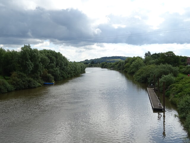
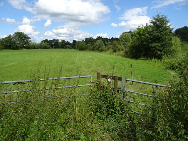
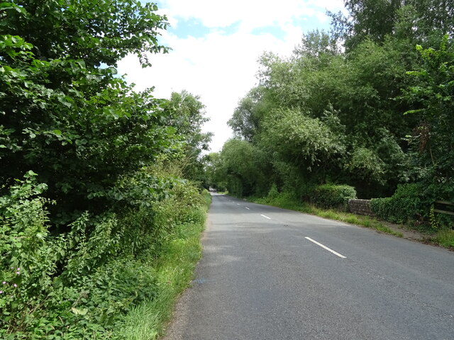
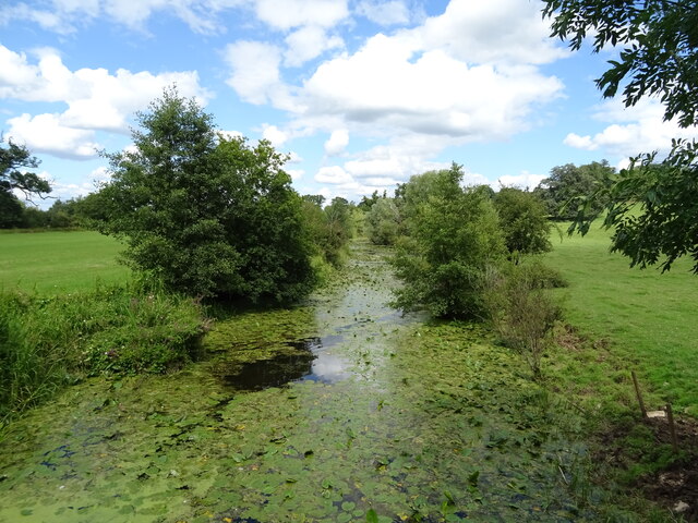
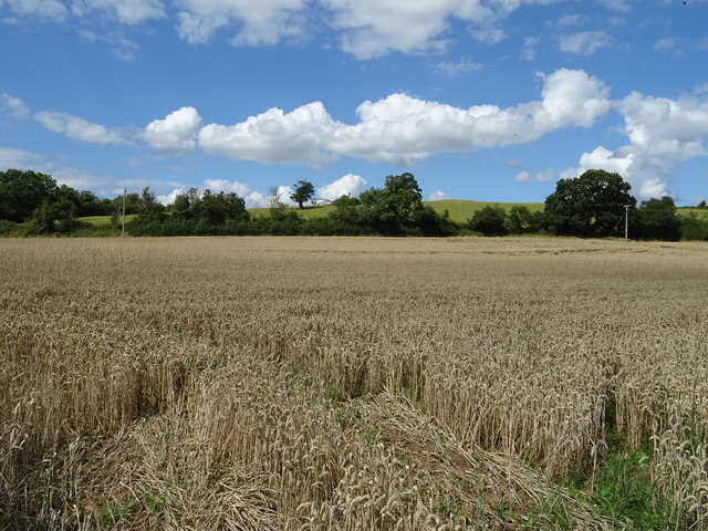
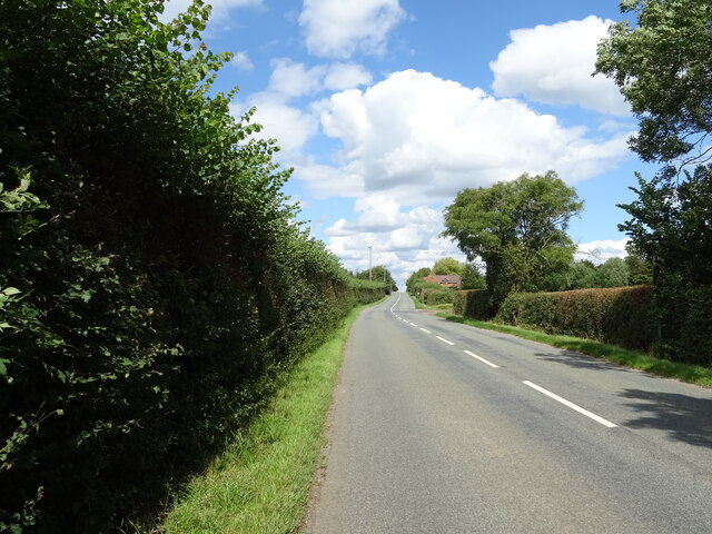
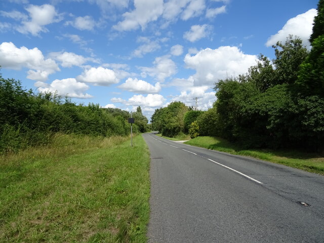
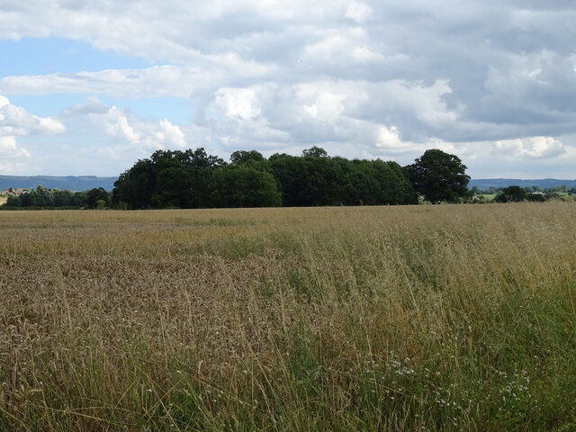
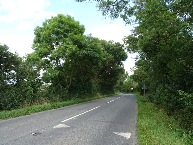
The village is characterized by its picturesque surroundings and tranquil atmosphere. It is primarily an agricultural area, with vast fields and farmland dominating the landscape. Chaceley Stock is known for its rolling hills, meandering streams, and charming country lanes, providing a peaceful retreat for residents and visitors alike.
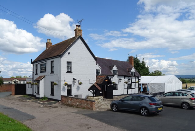
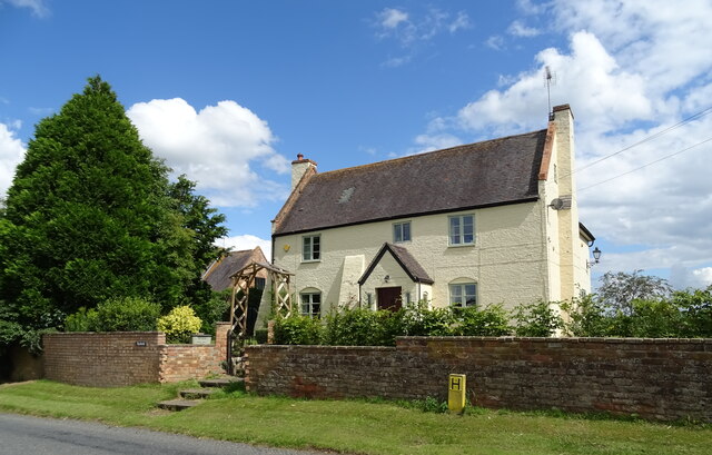
The village has a small population, comprising mostly of tight-knit communities. The traditional architecture of Chaceley Stock's buildings adds to its charm, with many cottages and farmhouses dating back centuries. The local church, St. John the Baptist, is a prominent landmark in the village and dates back to the 12th century.
Despite its small size, Chaceley Stock is rich in history and heritage. The village has been mentioned in historical records dating back to the Domesday Book of 1086, highlighting its long-standing presence in the region. It has witnessed various periods of agricultural development and has played a role in shaping the local economy.
Chaceley Stock offers a peaceful and idyllic way of life, with a strong sense of community and a close connection to nature. Its rural charm and historic significance make it a hidden gem in Worcestershire's countryside, attracting visitors seeking a glimpse into the region's rich past and a chance to experience the tranquility of rural England.
If you have any feedback on the listing, please let us know in the comments section below.
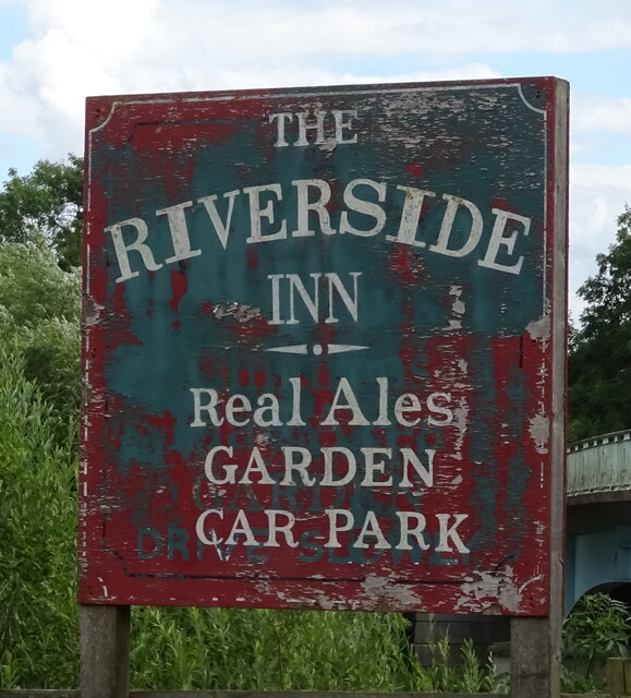
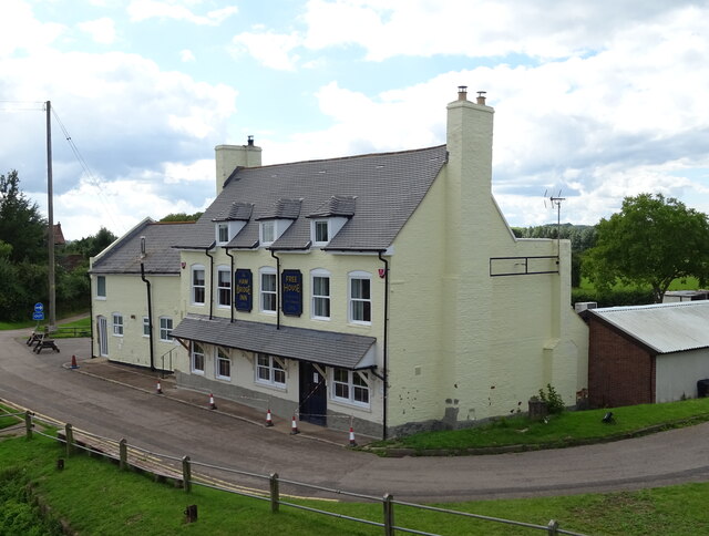
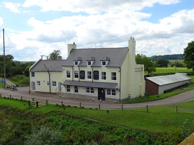
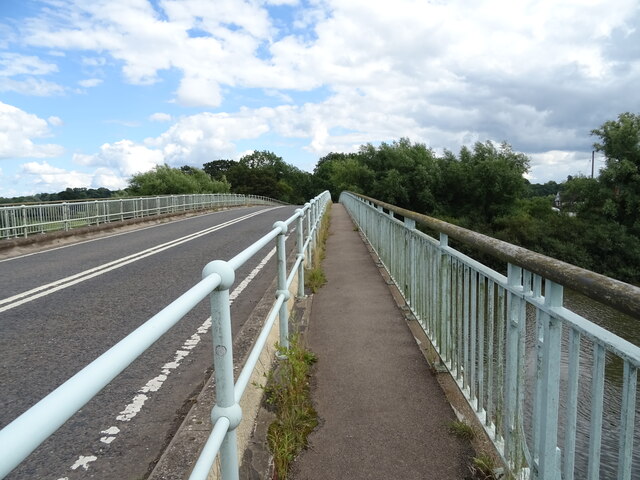
Chaceley Stock Images
Images are sourced within 2km of 51.959304/-2.2051497 or Grid Reference SO8629. Thanks to Geograph Open Source API. All images are credited.
Chaceley Stock is located at Grid Ref: SO8629 (Lat: 51.959304, Lng: -2.2051497)
Administrative County: Gloucestershire
District: Tewkesbury
Police Authority: Gloucestershire
What 3 Words
///bonfires.destined.unearthly. Near Tewkesbury, Gloucestershire
Nearby Locations
Related Wikis

Deerhurst
Deerhurst is a village and civil parish in Gloucestershire, England, about 2 miles (3 km) southwest of Tewkesbury. The village is on the east bank of the...

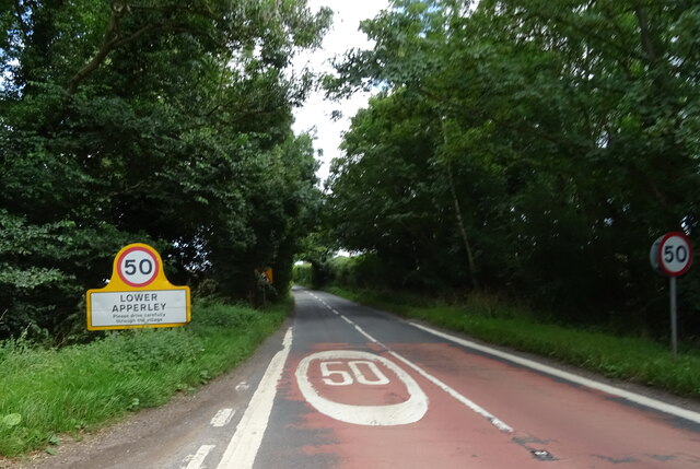
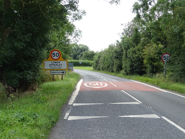
Apperley
Apperley is a village in Gloucestershire, England, about 3 miles (5 km) southwest of Tewkesbury, 1 mile (1.6 km) south of Deerhurst and 1⁄3 mile (0.5 km...

Odda's Chapel
Odda's Chapel is a former chantry chapel at Deerhurst, Gloucestershire. It is an 11th-century late Anglo-Saxon building, completed a decade before the...
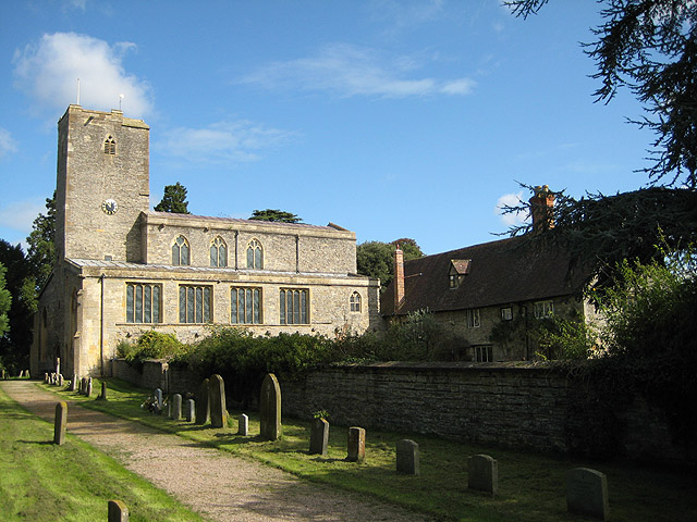
St Mary's Priory Church, Deerhurst
St Mary's Priory Church, Deerhurst, is the Church of England parish church of Deerhurst, Gloucestershire, England. Much of the church is Anglo-Saxon. It...

Chaceley Meadow SSSI
Chaceley Meadow (grid reference SO857306) is a 1.8-hectare (4.4-acre) biological Site of Special Scientific Interest in Gloucestershire, notified in 1954...

Chaceley
Chaceley or Chaseley is a village and civil parish 8 miles (13 km) north of Gloucester, in the Tewkesbury district, in the county of Gloucestershire, England...

Turvey's Piece
Turvey's Piece (grid reference SO882301) is a 1.02-hectare (2.5-acre) biological Site of Special Scientific Interest in Gloucestershire near Deerhurst...

Tirley
Tirley is a village and civil parish in Gloucestershire, England. It is located in the Borough of Tewkesbury district, 4 mi (6 km) south-west of Tewkesbury...
Nearby Amenities
Located within 500m of 51.959304,-2.2051497Have you been to Chaceley Stock?
Leave your review of Chaceley Stock below (or comments, questions and feedback).