Odda's Chapel
Heritage Site in Gloucestershire Tewkesbury
England
Odda's Chapel
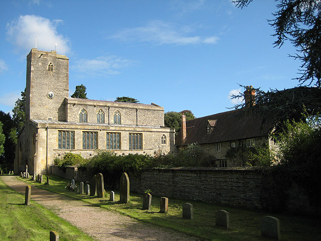
Odda's Chapel is a historic and visually striking architectural gem located in the picturesque town of Deerhurst, Gloucestershire, England. This small chapel holds great significance as it stands as one of the oldest surviving buildings from Anglo-Saxon England, dating back to the late 11th century.
The chapel was commissioned by Earl Odda, who was the brother-in-law of King Edward the Confessor. It was built as a memorial to Odda's brother, Aelfric, who was killed in the Battle of Blythburgh. The chapel's design reflects the Anglo-Saxon architectural style, characterized by its simple yet elegant appearance.
The building itself is constructed primarily from local stone, with a cruciform layout and a small tower at the crossing. It features intricate carvings and decorative elements, including pilaster strips and blind arcades. The chapel's interior is equally captivating, boasting a beautifully crafted stone font and remnants of medieval wall paintings.
Odda's Chapel has undergone several phases of restoration and conservation over the centuries to preserve its historical value. In the 19th century, the chapel was restored by the renowned architect Sir George Gilbert Scott, who ensured that its original features were carefully preserved.
Today, Odda's Chapel is open to the public, offering visitors a unique glimpse into the rich history of the region. It serves as a testament to the skill and craftsmanship of the Anglo-Saxon period, showcasing an important cultural and architectural heritage. Its serene setting, surrounded by lush greenery and overlooking the River Severn, adds to the overall charm and tranquility of this remarkable heritage site.
If you have any feedback on the listing, please let us know in the comments section below.
Odda's Chapel Images
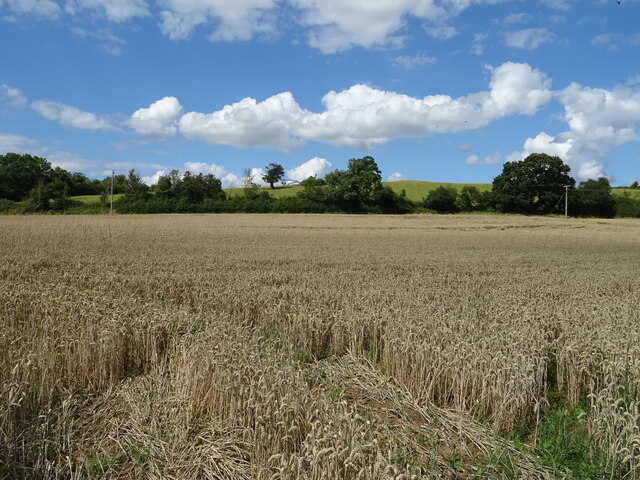
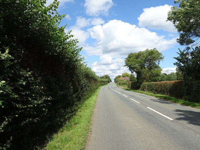
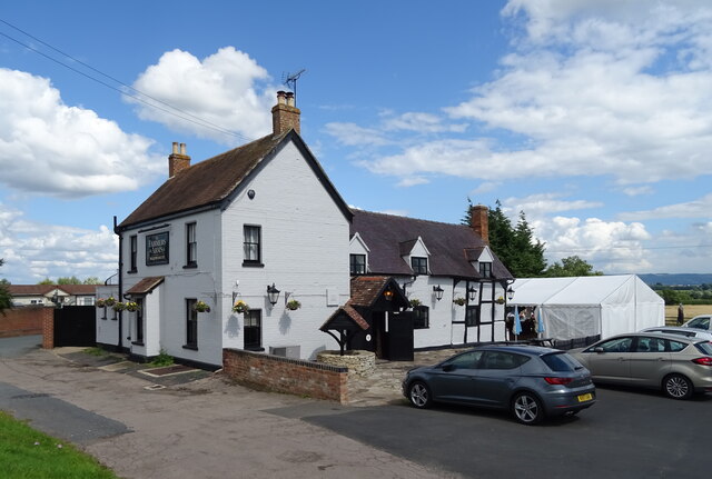
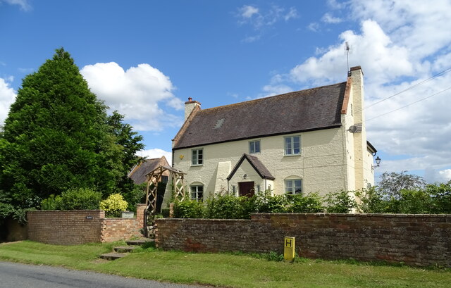
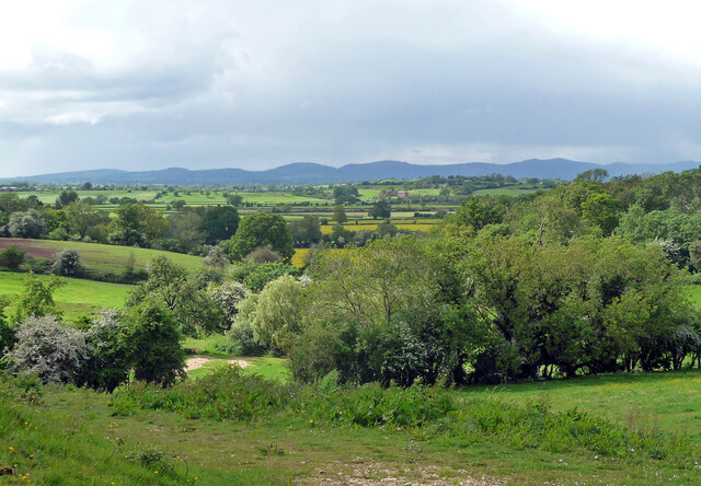
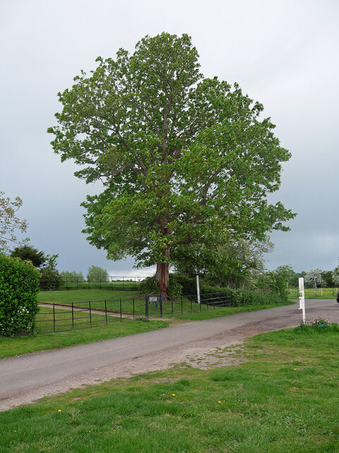
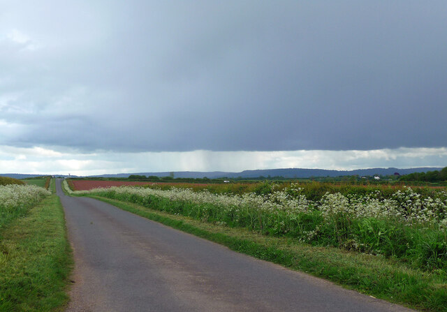
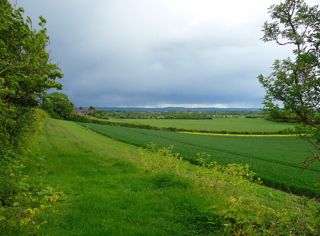
Images are sourced within 2km of 51.963/-2.197 or Grid Reference SO8629. Thanks to Geograph Open Source API. All images are credited.


Odda's Chapel is located at Grid Ref: SO8629 (Lat: 51.963, Lng: -2.197)
Administrative County: Gloucestershire
District: Tewkesbury
Police Authority: Gloucestershire
What 3 Words
///cricket.moth.acids. Near Tewkesbury, Gloucestershire
Nearby Locations
Related Wikis

Odda's Chapel
Odda's Chapel is a former chantry chapel at Deerhurst, Gloucestershire. It is an 11th-century late Anglo-Saxon building, completed a decade before the...

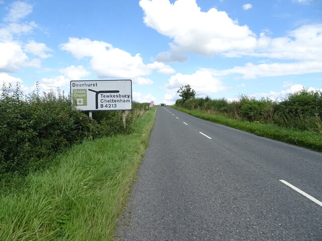
Deerhurst
Deerhurst is a village and civil parish in Gloucestershire, England, about 2 miles (3 km) southwest of Tewkesbury. The village is on the east bank of the...
St Mary's Priory Church, Deerhurst
St Mary's Priory Church, Deerhurst, is the Church of England parish church of Deerhurst, Gloucestershire, England. Much of the church is Anglo-Saxon. It...

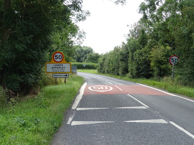
Apperley
Apperley is a village in Gloucestershire, England, about 3 miles (5 km) southwest of Tewkesbury, 1 mile (1.6 km) south of Deerhurst and 1⁄3 mile (0.5 km...

Chaceley Meadow SSSI
Chaceley Meadow (grid reference SO857306) is a 1.8-hectare (4.4-acre) biological Site of Special Scientific Interest in Gloucestershire, notified in 1954...

Chaceley
Chaceley or Chaseley is a village and civil parish 8 miles (13 km) north of Gloucester, in the Tewkesbury district, in the county of Gloucestershire, England...

Turvey's Piece
Turvey's Piece (grid reference SO882301) is a 1.02-hectare (2.5-acre) biological Site of Special Scientific Interest in Gloucestershire near Deerhurst...

Coombe Hill Canal
Coombe Hill Canal lies in the Vale of Gloucester, south west England, north of Leigh and runs west 2.75 miles (4.43 km) from Coombe Hill Basin to the River...
Nearby Amenities
Located within 500m of 51.963,-2.197Have you been to Odda's Chapel?
Leave your review of Odda's Chapel below (or comments, questions and feedback).