Abbot's Court
Heritage Site in Gloucestershire Tewkesbury
England
Abbot's Court
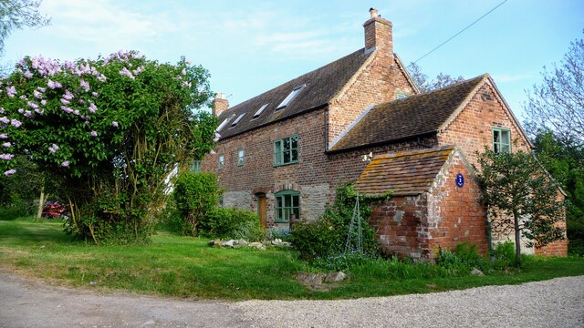
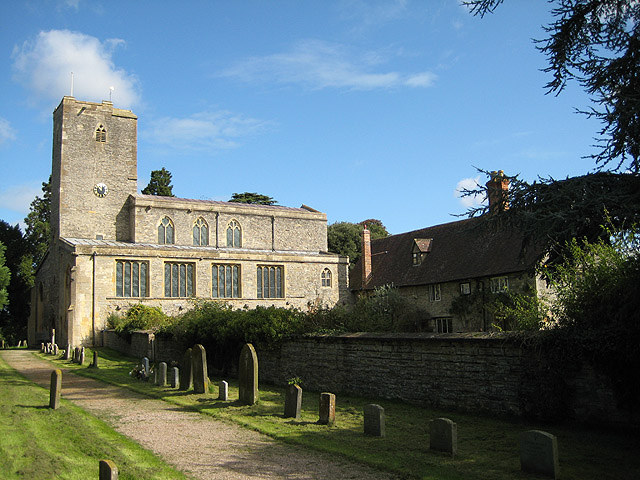
Abbot's Court, located in Gloucestershire, is a historic heritage site that holds significant architectural and cultural importance. This impressive mansion, dating back to the 16th century, is nestled within a sprawling estate of picturesque gardens and rolling countryside.
Originally built as a residence for the Abbot of Gloucester, the property has undergone various transformations throughout its history. The mansion boasts a distinctive Tudor style, characterized by its timber-framed structure and decorative brickwork. The intricate detailing and craftsmanship of its exterior reflect the architectural trends of the time, transporting visitors back to the era of its construction.
Abbot's Court is renowned for its stunning interior, which showcases a blend of original features and contemporary design elements. Visitors can explore the grand hallways and spacious rooms adorned with ornate ceilings, intricate wood paneling, and beautiful stained glass windows. The mansion's historical significance is further enhanced by the presence of antique furniture, artwork, and artifacts, offering a glimpse into the lifestyle of the aristocracy during different periods.
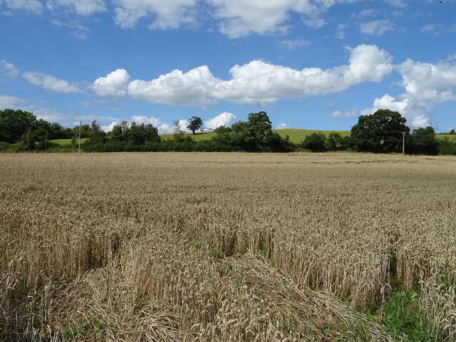
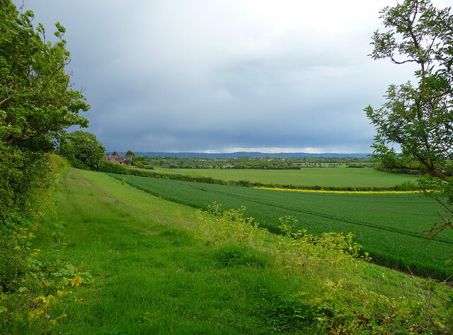
Surrounding the mansion, the estate features meticulously manicured gardens that provide an enchanting setting for leisurely strolls. The gardens boast a diverse array of plant species, including vibrant flowerbeds, towering trees, and neatly trimmed hedges. Visitors can enjoy the serene atmosphere, take in the views of the surrounding countryside, or partake in outdoor activities such as picnicking or playing lawn games.
Overall, Abbot's Court stands as a testament to Gloucestershire's rich heritage, offering visitors a captivating journey through history, architecture, and natural beauty.
If you have any feedback on the listing, please let us know in the comments section below.
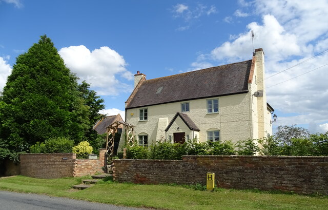
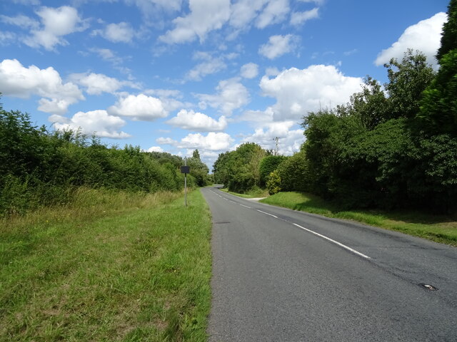
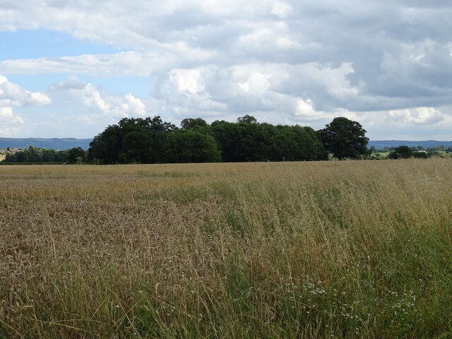
Abbot's Court Images
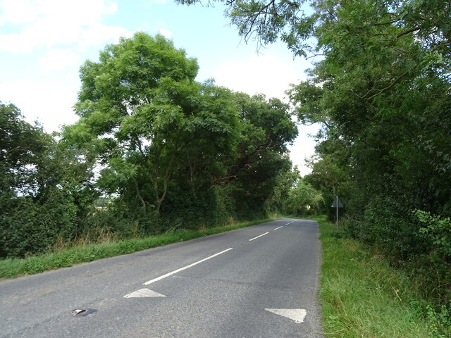
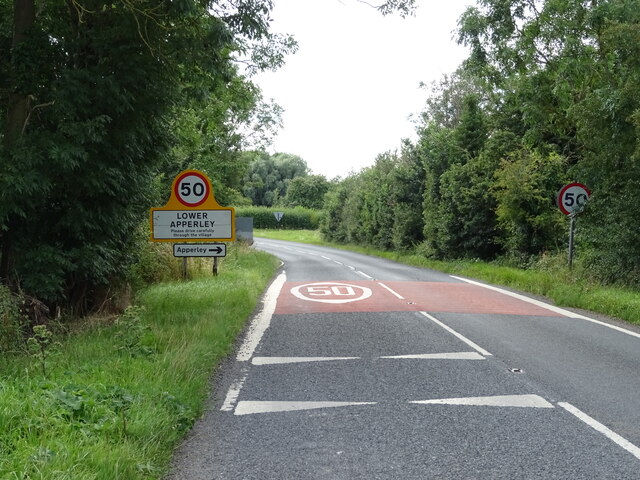
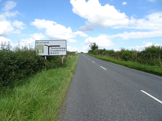
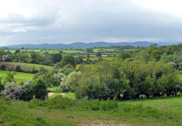
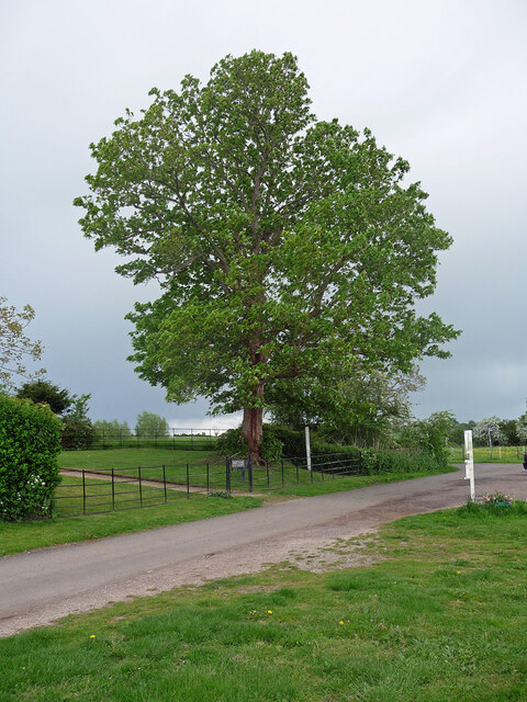
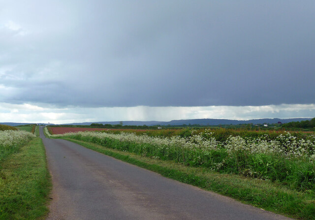
Images are sourced within 2km of 51.963/-2.197 or Grid Reference SO8629. Thanks to Geograph Open Source API. All images are credited.

Abbot's Court is located at Grid Ref: SO8629 (Lat: 51.963, Lng: -2.197)
Administrative County: Gloucestershire
District: Tewkesbury
Police Authority: Gloucestershire
What 3 Words
///cricket.moth.acids. Near Tewkesbury, Gloucestershire
Nearby Locations
Related Wikis

Odda's Chapel
Odda's Chapel is a former chantry chapel at Deerhurst, Gloucestershire. It is an 11th-century late Anglo-Saxon building, completed a decade before the...

Deerhurst
Deerhurst is a village and civil parish in Gloucestershire, England, about 2 miles (3 km) southwest of Tewkesbury. The village is on the east bank of the...
St Mary's Priory Church, Deerhurst
St Mary's Priory Church, Deerhurst, is the Church of England parish church of Deerhurst, Gloucestershire, England. Much of the church is Anglo-Saxon. It...

Apperley
Apperley is a village in Gloucestershire, England, about 3 miles (5 km) southwest of Tewkesbury, 1 mile (1.6 km) south of Deerhurst and 1⁄3 mile (0.5 km...

Chaceley Meadow SSSI
Chaceley Meadow (grid reference SO857306) is a 1.8-hectare (4.4-acre) biological Site of Special Scientific Interest in Gloucestershire, notified in 1954...

Chaceley
Chaceley or Chaseley is a village and civil parish 8 miles (13 km) north of Gloucester, in the Tewkesbury district, in the county of Gloucestershire, England...

Turvey's Piece
Turvey's Piece (grid reference SO882301) is a 1.02-hectare (2.5-acre) biological Site of Special Scientific Interest in Gloucestershire near Deerhurst...

Coombe Hill Canal
Coombe Hill Canal lies in the Vale of Gloucester, south west England, north of Leigh and runs west 2.75 miles (4.43 km) from Coombe Hill Basin to the River...
Nearby Amenities
Located within 500m of 51.963,-2.197Have you been to Abbot's Court?
Leave your review of Abbot's Court below (or comments, questions and feedback).