Barrow Grove
Wood, Forest in Gloucestershire Tewkesbury
England
Barrow Grove
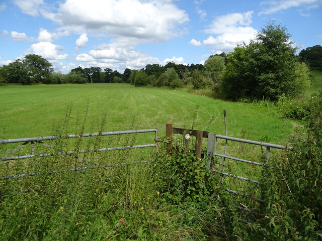
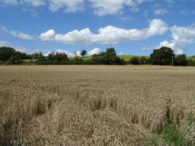
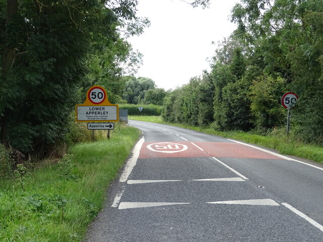
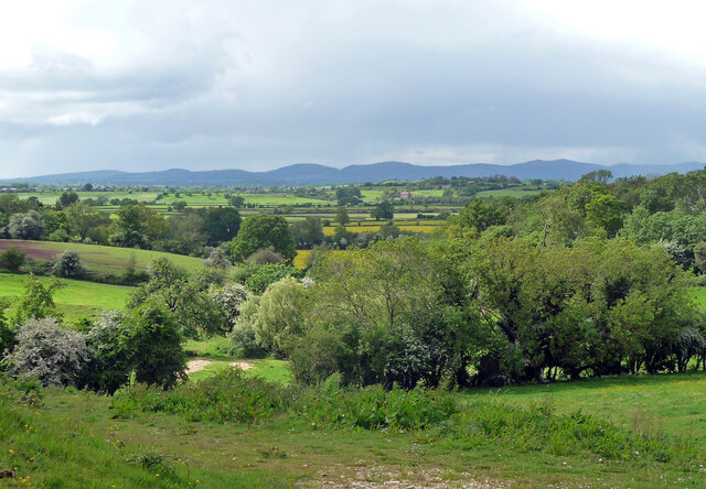
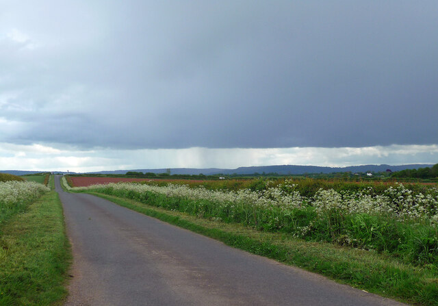
Barrow Grove is a picturesque woodland situated in the idyllic county of Gloucestershire, England. It is nestled in the heart of the enchanting Forest of Dean, renowned for its natural beauty and rich history. With its dense canopy of ancient trees, Barrow Grove offers a serene and secluded retreat for nature enthusiasts and outdoor adventurers alike.
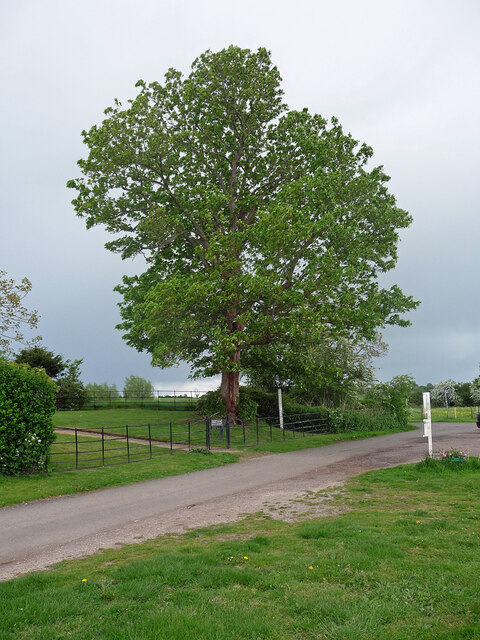
The woodland is home to a diverse range of flora and fauna, creating a thriving ecosystem that supports numerous species. Towering oak, beech, and ash trees dominate the landscape, their majestic presence providing shade and shelter for an array of wildlife, including deer, foxes, badgers, and a variety of bird species.
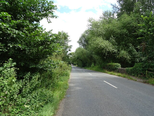
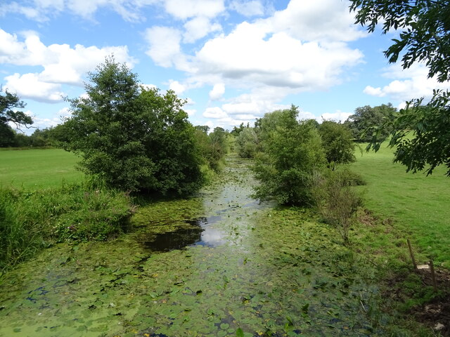
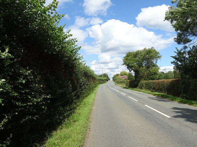
A network of well-maintained footpaths and trails wind through the woodland, allowing visitors to explore its enchanting beauty. The pathways offer a mix of easy strolls and more challenging hikes, catering to individuals of all fitness levels. Along the way, visitors can discover hidden glades, tranquil ponds, and babbling streams that add to the tranquility and charm of Barrow Grove.
The woodland is also steeped in history, with remnants of ancient settlements and archaeological sites scattered throughout. The Barrow Mound, from which the grove derives its name, is a particularly notable feature, dating back centuries and serving as a reminder of the area's rich past.
Barrow Grove, Gloucestershire, is a nature lover's paradise, providing a haven of peace and tranquility amidst the stunning landscapes of the Forest of Dean. Its combination of natural beauty, diverse wildlife, and historical significance make it a must-visit destination for those seeking solace and connection with nature.
If you have any feedback on the listing, please let us know in the comments section below.
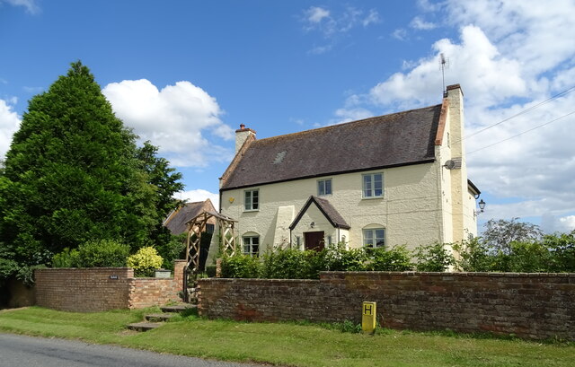
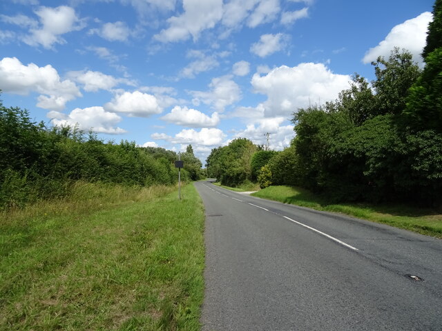
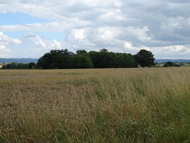
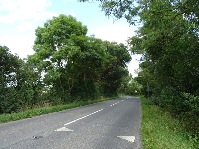
Barrow Grove Images
Images are sourced within 2km of 51.960955/-2.2020719 or Grid Reference SO8629. Thanks to Geograph Open Source API. All images are credited.

Barrow Grove is located at Grid Ref: SO8629 (Lat: 51.960955, Lng: -2.2020719)
Administrative County: Gloucestershire
District: Tewkesbury
Police Authority: Gloucestershire
What 3 Words
///attend.asked.urgent. Near Tewkesbury, Gloucestershire
Nearby Locations
Related Wikis

Deerhurst
Deerhurst is a village and civil parish in Gloucestershire, England, about 2 miles (3 km) southwest of Tewkesbury. The village is on the east bank of the...

Odda's Chapel
Odda's Chapel is a former chantry chapel at Deerhurst, Gloucestershire. It is an 11th-century late Anglo-Saxon building, completed a decade before the...
St Mary's Priory Church, Deerhurst
St Mary's Priory Church, Deerhurst, is the Church of England parish church of Deerhurst, Gloucestershire, England. Much of the church is Anglo-Saxon. It...

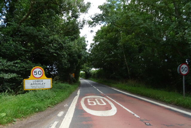
Apperley
Apperley is a village in Gloucestershire, England, about 3 miles (5 km) southwest of Tewkesbury, 1 mile (1.6 km) south of Deerhurst and 1⁄3 mile (0.5 km...

Chaceley Meadow SSSI
Chaceley Meadow (grid reference SO857306) is a 1.8-hectare (4.4-acre) biological Site of Special Scientific Interest in Gloucestershire, notified in 1954...

Chaceley
Chaceley or Chaseley is a village and civil parish 8 miles (13 km) north of Gloucester, in the Tewkesbury district, in the county of Gloucestershire, England...

Turvey's Piece
Turvey's Piece (grid reference SO882301) is a 1.02-hectare (2.5-acre) biological Site of Special Scientific Interest in Gloucestershire near Deerhurst...

Tirley
Tirley is a village and civil parish in Gloucestershire, England. It is located in the Borough of Tewkesbury district, 4 mi (6 km) south-west of Tewkesbury...
Nearby Amenities
Located within 500m of 51.960955,-2.2020719Have you been to Barrow Grove?
Leave your review of Barrow Grove below (or comments, questions and feedback).