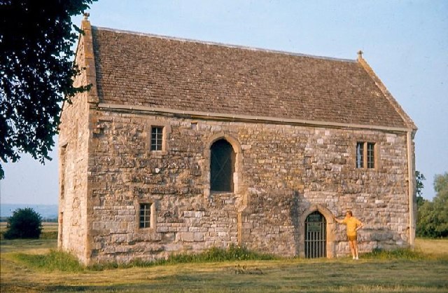
Abbot's Fish House
Heritage Site in Somerset Mendip
England
Abbot's Fish House
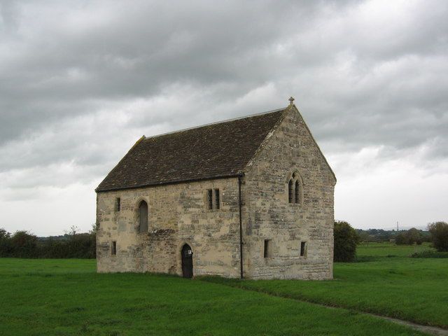
Abbot's Fish House is a historic site located in the picturesque county of Somerset, England. This heritage site holds great historical and architectural significance, offering a fascinating glimpse into the medieval fishing industry.
Dating back to the 14th century, Abbot's Fish House is believed to have been built by the monks of nearby Muchelney Abbey. The purpose of this structure was to serve as a fish store, providing a vital source of sustenance for the abbey and its inhabitants.
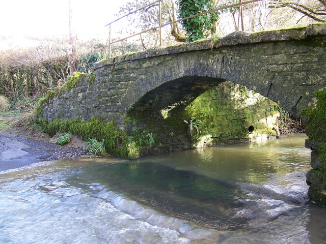
The building itself showcases remarkable craftsmanship and construction techniques of the time. It consists of a stone and timber structure with a thatched roof, reflecting the traditional architectural style prevalent in the region during the medieval period.
Inside the fish house, visitors can explore the various chambers that were once used for different stages of fish preservation. These chambers include a salting room, a smoking room, and a drying room. The layout and design of the building were carefully planned to facilitate the preservation process, ensuring that the fish remained fresh and edible for longer periods.
Today, Abbot's Fish House stands as a testament to the ingenuity and resourcefulness of medieval communities. It provides a unique opportunity for visitors to learn about the historical importance of the fishing industry and its impact on the local economy. The site is well-preserved, allowing visitors to experience firsthand the rich history and architectural legacy of Somerset.
If you have any feedback on the listing, please let us know in the comments section below.
Abbot's Fish House Images
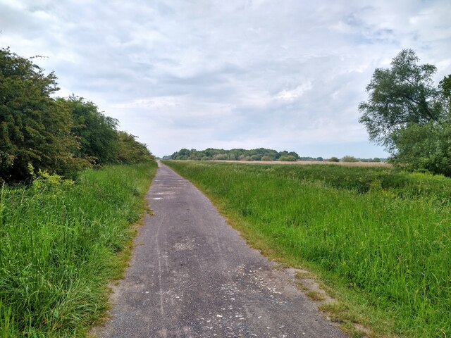
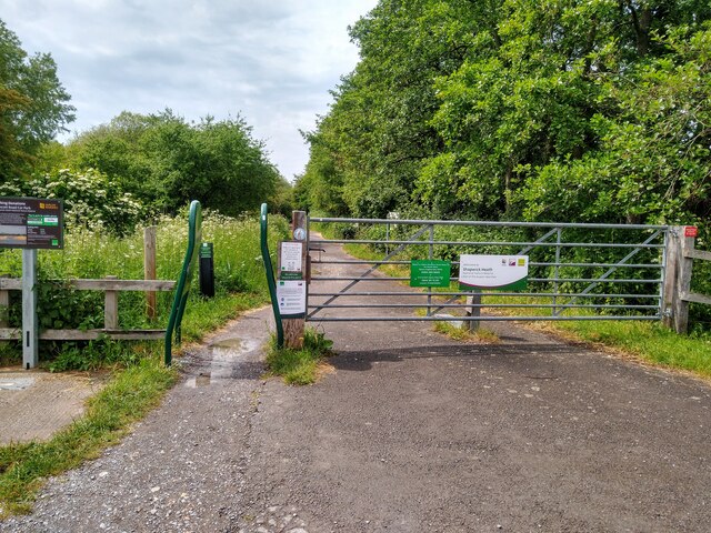
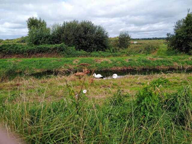
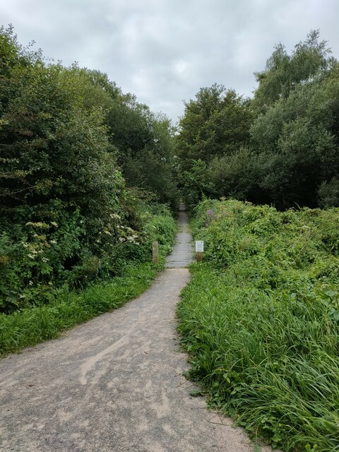
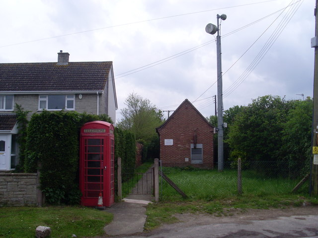
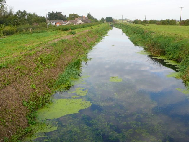
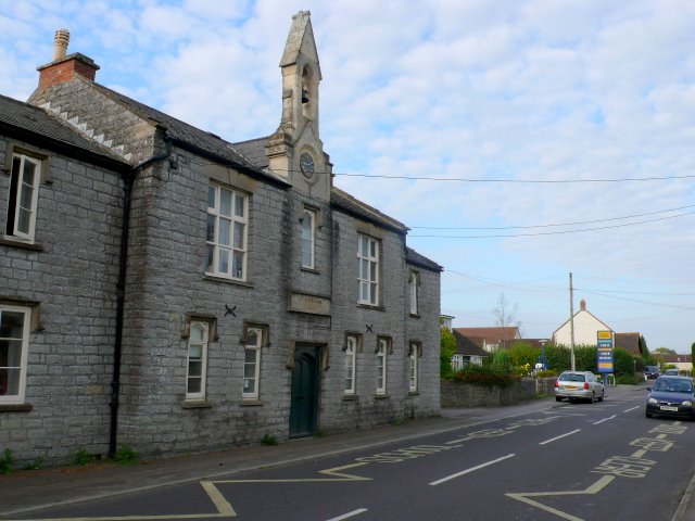
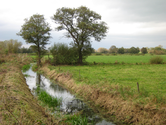
Images are sourced within 2km of 51.17/-2.78 or Grid Reference ST4541. Thanks to Geograph Open Source API. All images are credited.
Abbot's Fish House is located at Grid Ref: ST4541 (Lat: 51.17, Lng: -2.78)
Administrative County: Somerset
District: Mendip
Police Authority: Avon and Somerset
What 3 Words
///chucks.unfilled.elevated. Near Glastonbury, Somerset
Nearby Locations
Related Wikis
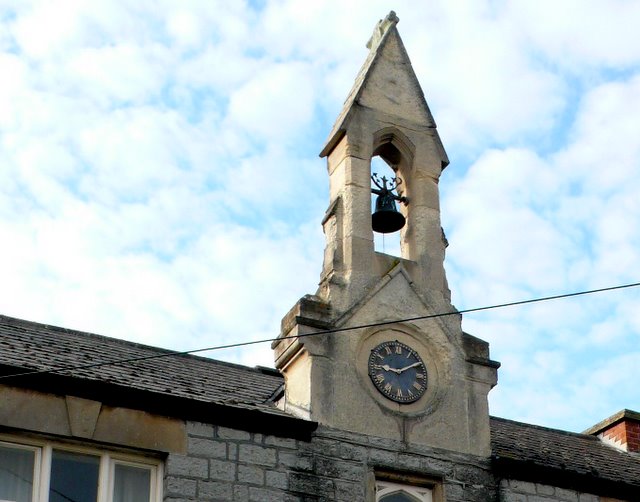
Meare
Meare is a village and civil parish in Somerset, England, 3 miles (4.8 km) north-west of Glastonbury on the Somerset Levels. The parish includes the village...

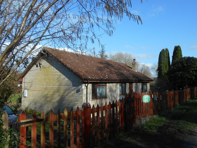
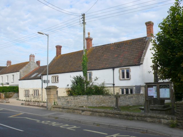
Manor Farmhouse, Meare
The Manor Farmhouse in Meare, Somerset, England, was built in the 14th century as the summer residence of the Abbots from Glastonbury Abbey and is now...

The Abbot's Fish House, Meare
The Abbot's Fish House in Meare, Somerset, England, was built in the 14th century and has been designated as a Grade I listed building and Scheduled Ancient...

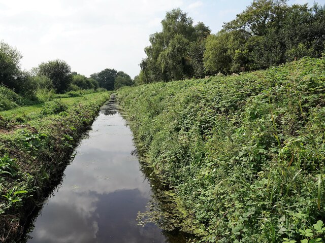
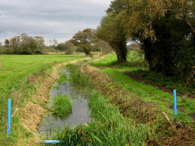
Meare Pool
Meare Pool (also known as Ferlingmere, Ferran Mere or Meare fish pool) was a lake in the Somerset Levels in South West England. Lake villages existed there...
Meare Lake Village
Meare Lake Village is the site of an Iron Age settlement on the Somerset Levels at Meare, Somerset, England. It is a Scheduled Ancient Monument. ��2�...
River Sheppey
The River Sheppey has its source in a group of springs west of the village of Doulting, near Shepton Mallet in Somerset, England. It flows through the...
Whitelake River
The Whitelake River is a small river on the Somerset Levels, England. The river rises between two low limestone ridges, part of the southern edge of the...
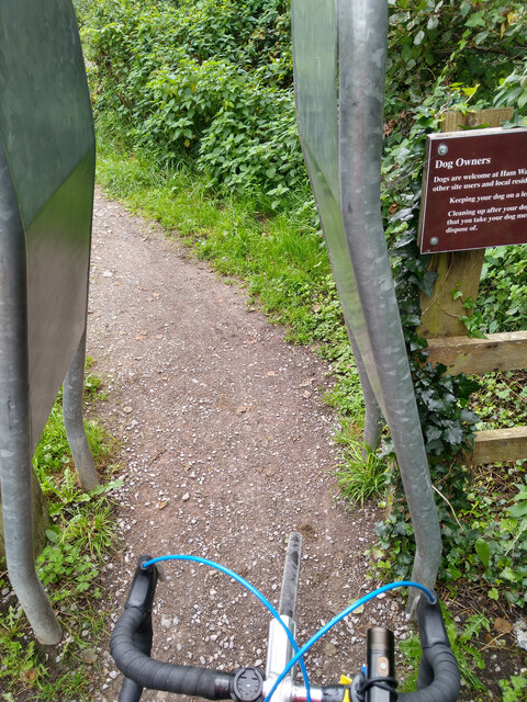
Ham Wall
Ham Wall is an English wetland National Nature Reserve (NNR) 4 kilometres (2.5 mi) west of Glastonbury on the Somerset Levels. It is managed by the Royal...
Nearby Amenities
Located within 500m of 51.17,-2.78Have you been to Abbot's Fish House?
Leave your review of Abbot's Fish House below (or comments, questions and feedback).