Chaceley Hole

Settlement in Worcestershire Tewkesbury

England

Chaceley Hole

Cereal crop near The Folly
Cereal crop near The Folly Credit: JThomas

Chaceley Hole is a small village located in the county of Worcestershire, England. Situated approximately 10 miles north-west of Worcester, Chaceley Hole is a rural settlement surrounded by picturesque countryside. The village is part of the Tewkesbury Borough and lies close to the River Severn.

Chaceley Hole has a rich history, with evidence of human settlement dating back to prehistoric times. The village was mentioned in the Domesday Book of 1086 as "Ceselie", and its name has evolved over the centuries to its current form. The area was primarily agricultural, with farming being the main occupation of the villagers.

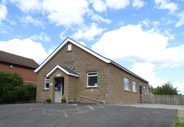
The village itself is quaint and charming, with a mixture of traditional cottages and more modern houses. The community is close-knit and friendly, with a population of around 200 residents. Amenities in Chaceley Hole are limited, with no shops or schools within the village. However, the nearby town of Tewkesbury provides all necessary services and amenities.

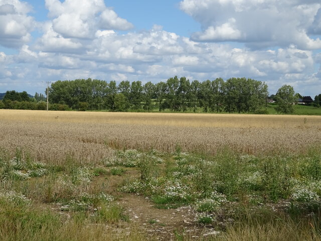
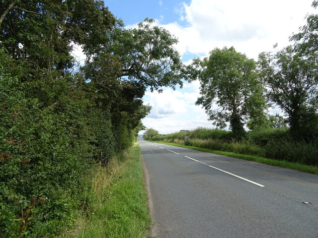
The natural beauty of Chaceley Hole is one of its main attractions. The surrounding countryside offers stunning views and is perfect for outdoor activities such as walking, cycling, and birdwatching. The River Severn also provides opportunities for boating and fishing.

Chaceley Hole is a peaceful and idyllic village, offering a tranquil escape from the hustle and bustle of city life. Its rural charm, rich history, and beautiful landscapes make it an appealing destination for those seeking a slower pace of life.

If you have any feedback on the listing, please let us know in the comments section below.

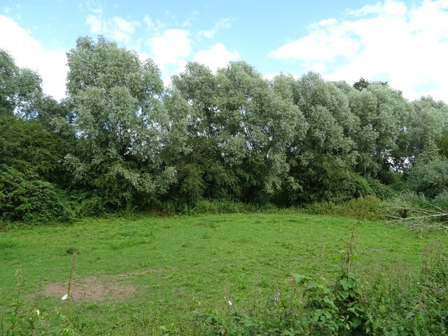
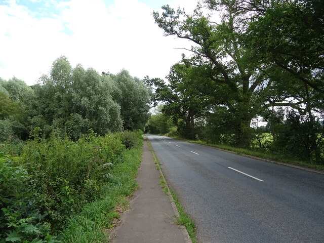
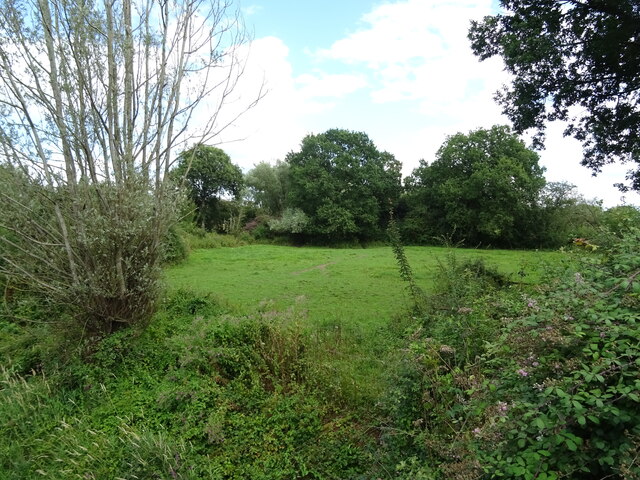
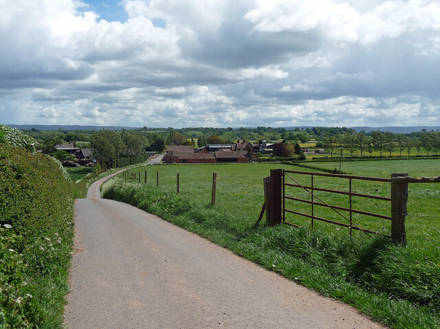
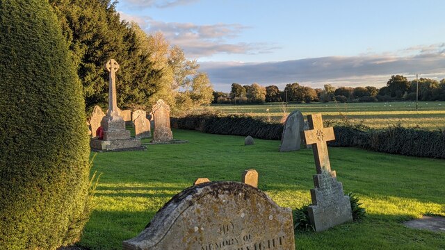
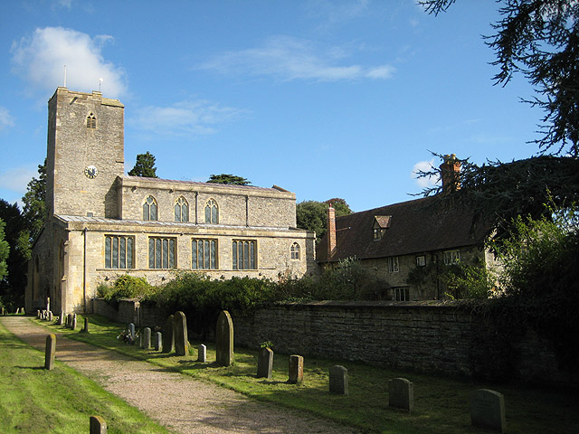
Chaceley Hole Images

Images are sourced within 2km of 51.968241/-2.2343022 or Grid Reference SO8430. Thanks to Geograph Open Source API. All images are credited.

Cereal crop near The Folly
B4213 towards Tirley
Track near Tirley Villa
Minor road towards Tirley Court
Tirley Village Hall
Tirley Village Hall
Tirley, B4213 Towards Lower Apperley.
Tirley, B4213
Towards Lower Apperley.
Grazing and trees near Tirley
B4213 towards Lower Apperley
Grazing towards drain near the River Severn
Country road near Town Street Descending to the eponymous farm.
Country road near Town Street
Descending to the eponymous farm.
Entrance gate to St. Michael's church (Tirley) This wooden entrance gate leads walkers into the grounds of St. Michael's parish church.
Entrance gate to St. Michael's church (Tirley)
This wooden entrance gate leads walkers into the grounds of St. Michael's parish church.
St. Michael's church (Bell tower | Tirley) Here is the west bell tower of three stages, and the lower stage dates from the 13th century (the two upper stages were possibly built in the 14th century).
St. Michael's church (Bell tower | Tirley)
Here is the west bell tower of three stages, and the lower stage dates from the 13th century (the two upper stages were possibly built in the 14th century).
Detail of St. Michael's church (Bell tower | Tirley) The detail on top of the west bell tower at St. Michael's parish church dates from the 14th century.
Detail of St. Michael's church (Bell tower | Tirley)
The detail on top of the west bell tower at St. Michael's parish church dates from the 14th century.
Churchyard at St. Michael's church (Tirley) Here is the churchyard south of St. Michael's parish church, with the war memorial seen in the distance to the left.
Churchyard at St. Michael's church (Tirley)
Here is the churchyard south of St. Michael's parish church, with the war memorial seen in the distance to the left.
Path to St. Michael's church (Tirley) Two yew hedges frames this view of the path to the south porch well, along with the shadows from the setting sun.
Path to St. Michael's church (Tirley)
Two yew hedges frames this view of the path to the south porch well, along with the shadows from the setting sun.
Tirley war memorial Here is the war memorial in the churchyard at St. Michael's parish church, and this is dedicated to the people who gave their lives in the two World Wars.
Tirley war memorial
Here is the war memorial in the churchyard at St. Michael's parish church, and this is dedicated to the people who gave their lives in the two World Wars.
Clock on St. Michael's church (Bell tower | Tirley) This clock is placed on the southern face of the bell tower at St. Michael's parish church, and showed the correct time when I took this picture at 3:53(pm).
Clock on St. Michael's church (Bell tower | Tirley)
This clock is placed on the southern face of the bell tower at St. Michael's parish church, and showed the correct time when I took this picture at 3:53(pm).
St. Michael's church (Bell tower | Tirley) Here is the west bell tower of three stages, and the lower stage dates from the 13th century (the two upper stages were possibly built in the 14th century).
St. Michael's church (Bell tower | Tirley)
Here is the west bell tower of three stages, and the lower stage dates from the 13th century (the two upper stages were possibly built in the 14th century).
Show me another place!

Chaceley Hole is located at Grid Ref: SO8430 (Lat: 51.968241, Lng: -2.2343022)

Administrative County: Gloucestershire

District: Tewkesbury

Police Authority: Gloucestershire

What 3 Words

///hazy.empires.empire. Near Corse, Gloucestershire

Related Wikis

South Wales Gas Pipeline

The South Wales Gas Pipeline (also known as the Milford Haven pipeline) is the UK's largest high-pressure gas pipeline. The 197-mile (317 km) pipeline...

Chaceley Meadow SSSI

Chaceley Meadow (grid reference SO857306) is a 1.8-hectare (4.4-acre) biological Site of Special Scientific Interest in Gloucestershire, notified in 1954...

Chaceley

Chaceley or Chaseley is a village and civil parish 8 miles (13 km) north of Gloucester, in the Tewkesbury district, in the county of Gloucestershire, England...

Tirley

Tirley is a village and civil parish in Gloucestershire, England. It is located in the Borough of Tewkesbury district, 4 mi (6 km) south-west of Tewkesbury...

Odda's Chapel

Odda's Chapel is a former chantry chapel at Deerhurst, Gloucestershire. It is an 11th-century late Anglo-Saxon building, completed a decade before the...

Hasfield Court

Hasfield Court is a Grade II* listed building in Hasfield, Gloucestershire, England. Hasfield Court was the site of a medieval manor house, the home of...

St Mary's Priory Church, Deerhurst

St Mary's Priory Church, Deerhurst, is the Church of England parish church of Deerhurst, Gloucestershire, England. Much of the church is Anglo-Saxon. It...

Apperley

Apperley is a village in Gloucestershire, England, about 3 miles (5 km) southwest of Tewkesbury, 1 mile (1.6 km) south of Deerhurst and 1⁄3 mile (0.5 km...

Nearby Amenities

Located within 500m of 51.968241,-2.2343022
Great Cumberwood Farm
Power: pole
Transformer: distribution
Voltage Primary: 11000
Lat/Long: 51.9662562/-2.2292201
Power: pole
Lat/Long: 51.9659934/-2.2282545
The data included in this document is from www.openstreetmap.org. The data is made available under ODbL.

Have you been to Chaceley Hole?

Leave your review of Chaceley Hole below (or comments, questions and feedback).