Gorbals Plantation
Wood, Forest in Roxburghshire
Scotland
Gorbals Plantation
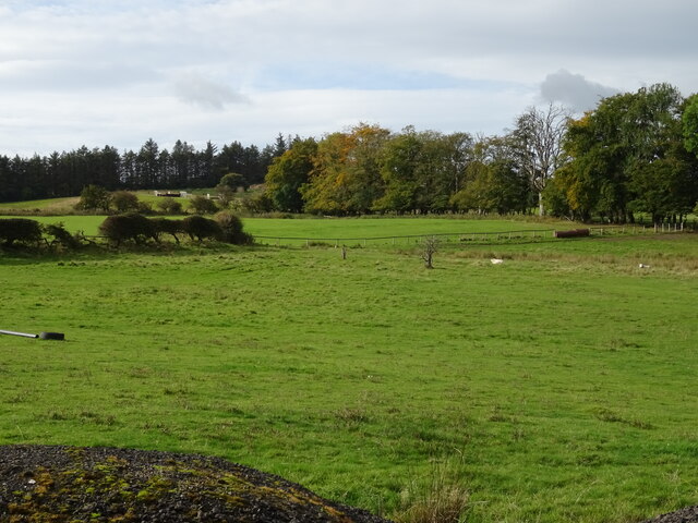
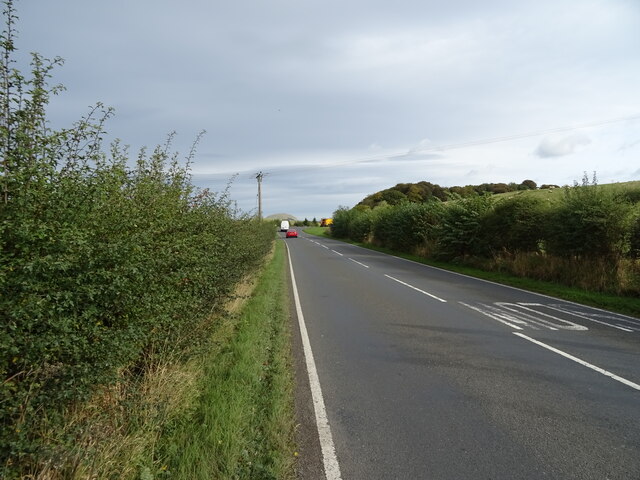
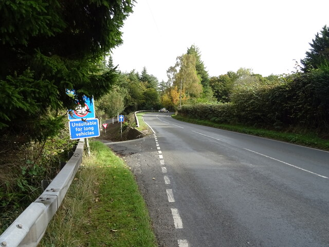
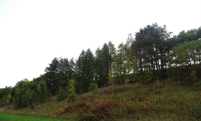
Gorbals Plantation, located in Roxburghshire, Scotland, is a picturesque woodland area known for its diverse range of trees and scenic beauty. Covering an expansive area of land, it is a popular destination for nature enthusiasts, hikers, and birdwatchers.
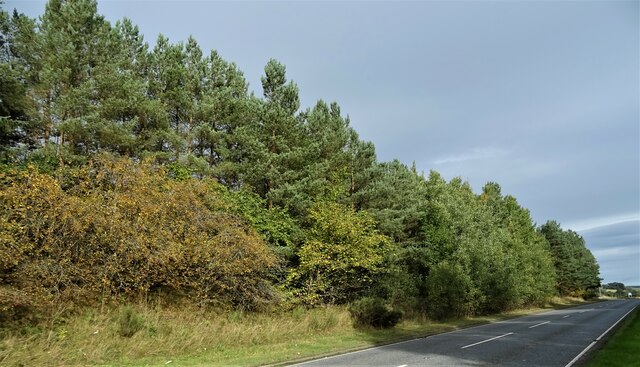
The plantation is predominantly composed of native trees, including oak, birch, and Scots pine, which provide a thriving habitat for various wildlife species. The forest floor is adorned with an array of wildflowers and mosses, creating a vibrant and enchanting atmosphere.
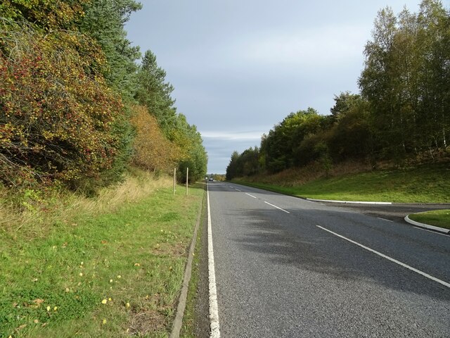
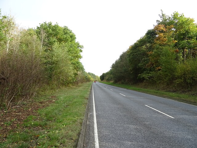
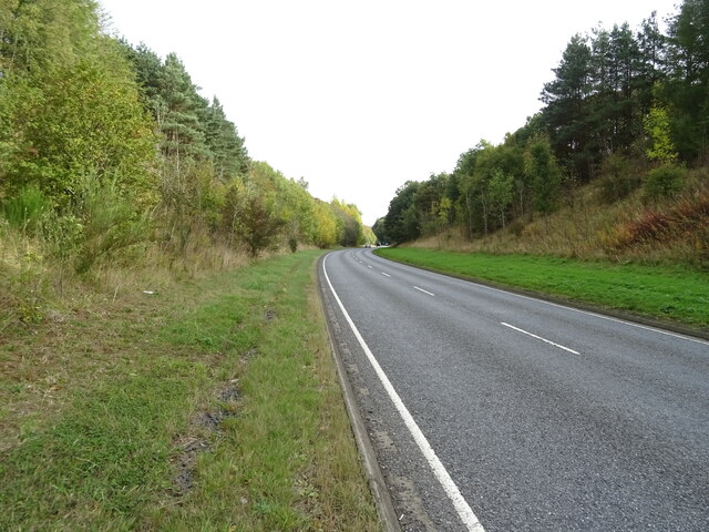
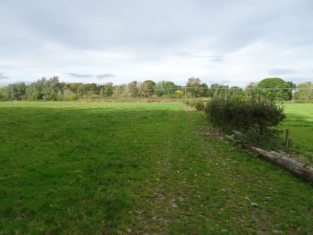
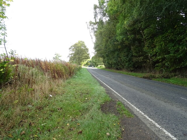
The plantation is crisscrossed by well-maintained walking trails, allowing visitors to explore the area and admire its natural wonders. These trails offer different levels of difficulty, catering to both casual walkers and more adventurous hikers. Along the way, walkers can enjoy the tranquil sounds of birdsong and the rustling of leaves in the gentle breeze.
Birdwatchers flock to Gorbals Plantation to catch a glimpse of its diverse avian population. The woodland is home to a variety of species, including woodpeckers, nuthatches, and thrushes. Lucky visitors may even spot a rare bird of prey, such as a buzzard or kestrel, soaring overhead.
In addition to its natural beauty, Gorbals Plantation also provides valuable ecosystem services. The trees act as carbon sinks, helping to mitigate climate change, and the woodland plays a crucial role in water management, preventing soil erosion and providing a natural filtration system.
Overall, Gorbals Plantation in Roxburghshire is a breathtaking woodland retreat, offering visitors the chance to immerse themselves in nature and experience the wonders of a diverse and thriving forest ecosystem.
If you have any feedback on the listing, please let us know in the comments section below.
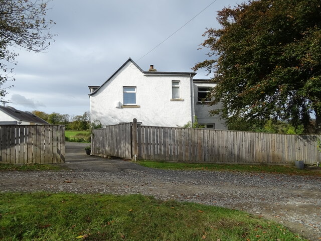
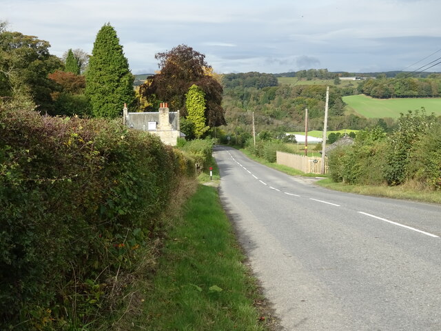
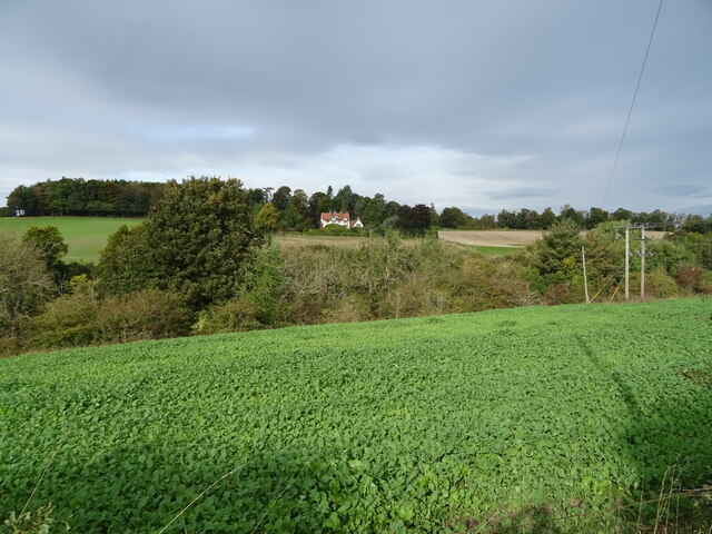
Gorbals Plantation Images
Images are sourced within 2km of 55.442521/-2.7229917 or Grid Reference NT5416. Thanks to Geograph Open Source API. All images are credited.
Gorbals Plantation is located at Grid Ref: NT5416 (Lat: 55.442521, Lng: -2.7229917)
Unitary Authority: The Scottish Borders
Police Authority: The Lothians and Scottish Borders
What 3 Words
///timidly.princes.backtrack. Near Hawick, Scottish Borders
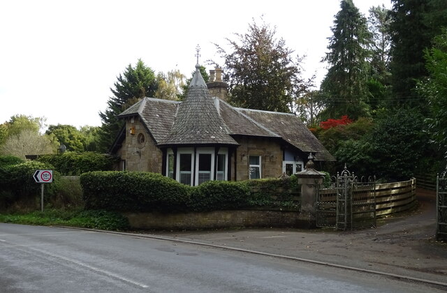
Nearby Locations
Related Wikis

Cavers, Scottish Borders
Cavers is a parish in the Scottish Borders area of Scotland, in the former county of Roxburghshire, south and east of Hawick. The largest village in the...

Cavers Castle
Cavers Castle, also known as Cavers House, is a ruined tower house located at Cavers, Scottish Borders, Scotland. Cavers Castle was a much extended tower...

Appletreehall
Appletreehall is a village in the Scottish Borders area of Scotland, 2 miles north-east of Hawick, in the historic county of Roxburghshire. Nearby are...

Westgate Hall, Denholm
Westgate Hall is located in Westgate in the village of Denholm, Roxburghshire, in the Scottish Borders. It stands at the western and south-western approaches...

Kirkton, Scottish Borders
Kirkton is a village in the Scottish Borders area of Scotland, off the A6088, near Hawick. Grid Ref. NT5413. It is a former parish, amalgamated into the...
Denholm
Denholm is a small village located between Jedburgh and Hawick in the Scottish Borders region of Scotland, UK. The estimated population of Denholm is 600...

Mansfield Park, Hawick
Mansfield Park is a rugby union ground in Hawick, Scotland, with a capacity of approximately 5,000. It is the home of Hawick Rugby Football Club, who currently...
Burnfoot, Hawick
Burnfoot (Scottish Gaelic: Bun na h-Aibhne, Scots: Burnfit) is a housing estate just east of the A7, in the northern part of Hawick, by the Boonraw Burn...
Nearby Amenities
Located within 500m of 55.442521,-2.7229917Have you been to Gorbals Plantation?
Leave your review of Gorbals Plantation below (or comments, questions and feedback).