Sawmill Plantation

Wood, Forest in Roxburghshire

Scotland

Sawmill Plantation

Grazing near Kirkton
Grazing near Kirkton Credit: JThomas

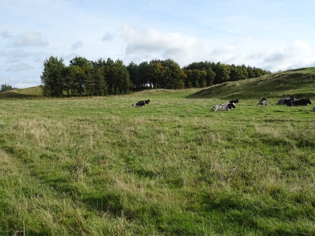
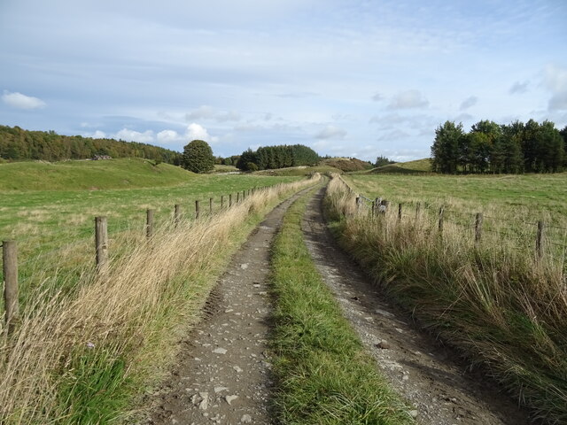
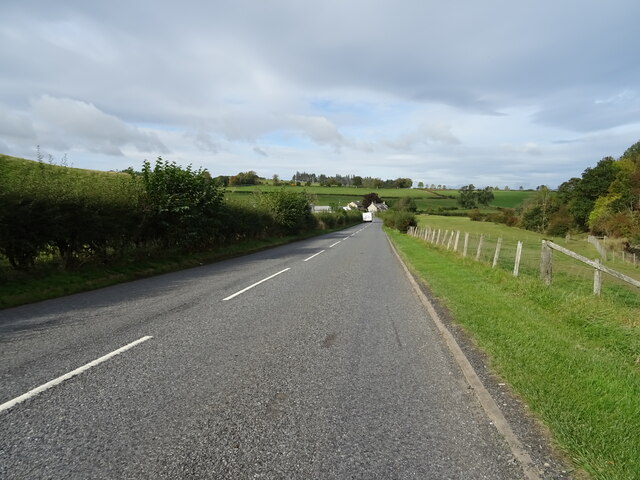
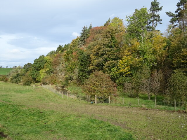
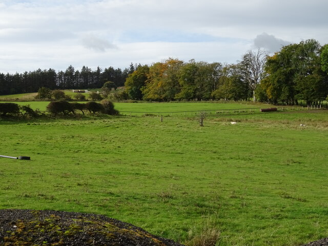
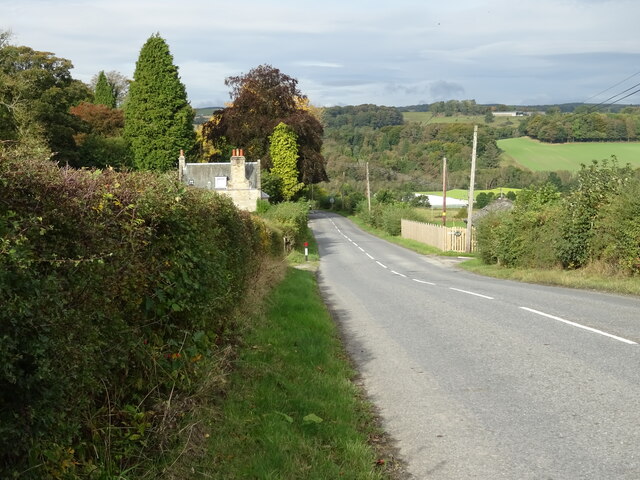
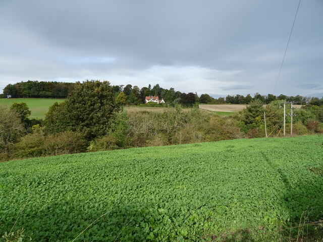
Sawmill Plantation is a vast woodland area located in Roxburghshire, Scotland. Covering an area of approximately 500 acres, this plantation is known for its rich biodiversity and its significant role in the local timber industry. The plantation is situated in the picturesque countryside, surrounded by rolling hills and lush green landscapes.

The main focus of Sawmill Plantation is timber production. It is home to a fully operational sawmill that processes the harvested timber into various wood products. The plantation primarily consists of coniferous trees, such as pine and spruce, which are well-suited for commercial use due to their fast growth rates and durability.

Aside from its economic importance, Sawmill Plantation also serves as an important habitat for a wide range of wildlife. The dense forest provides shelter and sustenance for various species, including deer, squirrels, and a diverse array of bird species. The plantation actively promotes sustainable forest management practices to ensure the preservation of this valuable ecosystem.

Visitors to Sawmill Plantation can enjoy the natural beauty of the area through various walking trails and picnic spots. The plantation offers guided tours, providing insight into the timber production process and the plantation's efforts in environmental conservation. Additionally, the plantation often hosts educational programs and events aimed at raising awareness about sustainable forestry practices.

In conclusion, Sawmill Plantation in Roxburghshire is a thriving woodland area that combines economic productivity with environmental conservation. With its stunning natural scenery and commitment to sustainable forestry, it is a valuable asset both to the local community and to Scotland's timber industry.

If you have any feedback on the listing, please let us know in the comments section below.

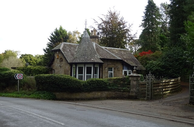
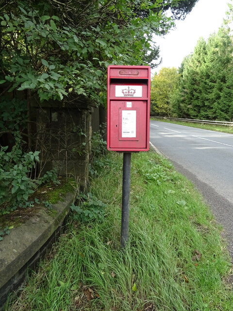
Sawmill Plantation Images

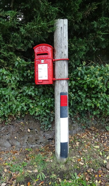
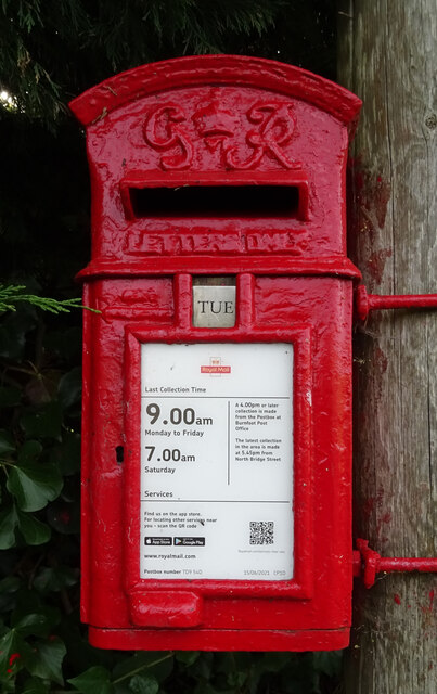
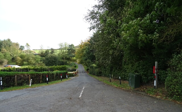
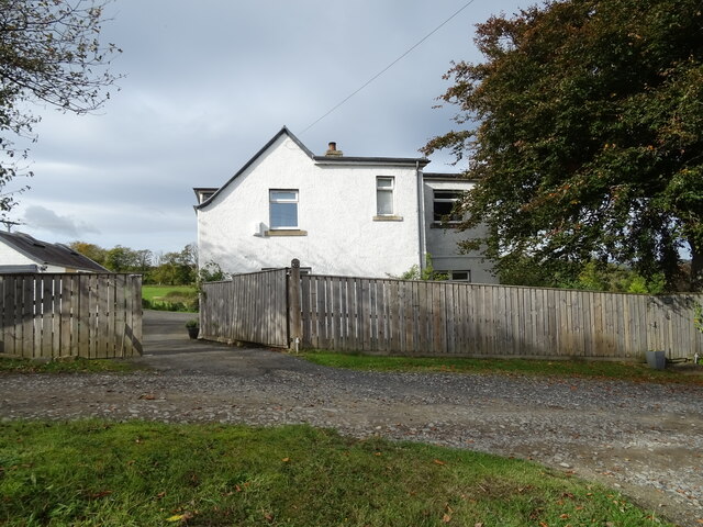
Images are sourced within 2km of 55.436875/-2.7219875 or Grid Reference NT5416. Thanks to Geograph Open Source API. All images are credited.

Grazing near Kirkton
Track towards Cavers Knowes
West Lodge on the A6088
A6088 towards Hawick
Grazing and woodland beside the Kirkton Burn
War Memorial, Deanbrae Beside the A6088.
War Memorial, Deanbrae
Beside the A6088.
Minor road, Deanbrae Towards Ormiston.
Minor road, Deanbrae
Towards Ormiston.
House in Cauldmill
House in Cauldmill
George VI postbox, Cauldmill Postbox No. TD9 54.

See <a href="https://www.geograph.org.uk/photo/7016978">NT5315 : Close up, George VI postbox, Cauldmill</a> for close up.
See <a href="https://www.geograph.org.uk/photo/7016980">NT5315 : Minor road, Cauldmill</a> for context.
George VI postbox, Cauldmill
Postbox No. TD9 54. See NT5315 : Close up, George VI postbox, Cauldmill for close up. See NT5315 : Minor road, Cauldmill for context.
Close up, George VI postbox, Cauldmill Postbox No. TD9 54.

See <a href="https://www.geograph.org.uk/photo/7016977">NT5315 : George VI postbox, Cauldmill</a> for wider view.
Close up, George VI postbox, Cauldmill
Postbox No. TD9 54. See NT5315 : George VI postbox, Cauldmill for wider view.
Minor road, Cauldmill Towards Kinninghall.
Showing position of Postbox No. TD9 54.

See <a href="https://www.geograph.org.uk/photo/7016977">NT5315 : George VI postbox, Cauldmill</a> for postbox.
Minor road, Cauldmill
Towards Kinninghall. Showing position of Postbox No. TD9 54. See NT5315 : George VI postbox, Cauldmill for postbox.
House on the A6088
House on the A6088
Grazing, Dodlands
Grazing, Dodlands
A6088, Dodlands Towards Hawick.
A6088, Dodlands
Towards Hawick.
Crop field beside the River Teviot Narrow strip of land beside the A698.
Crop field beside the River Teviot
Narrow strip of land beside the A698.
A698 towards Denholm
Lodge on the A698 near 	Hornshole Bridge
Lodge on the A698 near Hornshole Bridge
Postbox on the A698 near Hornshole Bridge Postbox No. TD9 36.

See <a href="https://www.geograph.org.uk/photo/7017000">NT5316 : A698 near Hornshole Bridge</a> for context.
Postbox on the A698 near Hornshole Bridge
Postbox No. TD9 36. See NT5316 : A698 near Hornshole Bridge for context.
Show me another place!

Sawmill Plantation is located at Grid Ref: NT5416 (Lat: 55.436875, Lng: -2.7219875)

Unitary Authority: The Scottish Borders

Police Authority: The Lothians and Scottish Borders

What 3 Words

///trash.standards.stones. Near Hawick, Scottish Borders

Related Wikis

Cavers, Scottish Borders

Cavers is a parish in the Scottish Borders area of Scotland, in the former county of Roxburghshire, south and east of Hawick. The largest village in the...

Cavers Castle

Cavers Castle, also known as Cavers House, is a ruined tower house located at Cavers, Scottish Borders, Scotland. Cavers Castle was a much extended tower...

Kirkton, Scottish Borders

Kirkton is a village in the Scottish Borders area of Scotland, off the A6088, near Hawick. Grid Ref. NT5413. It is a former parish, amalgamated into the...

Appletreehall

Appletreehall is a village in the Scottish Borders area of Scotland, 2 miles (3 kilometres) north-east of Hawick, in the historic county of Roxburghshire...

Nearby Amenities

Located within 500m of 55.436875,-2.7219875
Post Box
Brand: Royal Mail
Brand Wikidata: Q638098
Operator: Royal Mail
Operator Wikidata: Q638098
Post Box Mounting: wooden_post
Post Box Type: lamp
Ref: TD9 50
Source: survey
Lat/Long: 55.4359388/-2.7214015
Natural: peak
Lat/Long: 55.4413257/-2.7208827
Noexit: yes
Lat/Long: 55.4338464/-2.7244711
Give Way
Direction: forward
Lat/Long: 55.4358859/-2.721579
Cavers Garden Farm
Place: hamlet
Lat/Long: 55.4370411/-2.7165001
Noexit: yes
Lat/Long: 55.4364867/-2.7211425
Noexit: yes
Lat/Long: 55.437207/-2.7198167
Noexit: yes
Lat/Long: 55.4373265/-2.7198645
Noexit: yes
Lat/Long: 55.4378141/-2.7188723
Noexit: yes
Lat/Long: 55.4379212/-2.719797
Noexit: yes
Lat/Long: 55.4341301/-2.7185991
Generator Method: photovoltaic
Generator Output Electricity: yes
Generator Source: solar
Generator Type: solar_photovoltaic_panel
Power: generator
Lat/Long: 55.4361622/-2.7159137
Generator Method: photovoltaic
Generator Output Electricity: yes
Generator Source: solar
Generator Type: solar_photovoltaic_panel
Power: generator
Lat/Long: 55.4342112/-2.7186078
Power: pole
Lat/Long: 55.4325868/-2.7206062
Power: pole
Lat/Long: 55.4362821/-2.7148305
Power: pole
Lat/Long: 55.4355241/-2.715902
Power: pole
Lat/Long: 55.434792/-2.71692
Power: pole
Lat/Long: 55.4340311/-2.7179864
Power: pole
Lat/Long: 55.4360251/-2.7146269
Power: pole
Lat/Long: 55.4362554/-2.7153395
Power: pole
Lat/Long: 55.436363/-2.7159236
Power: pole
Lat/Long: 55.4344592/-2.7286211
Power: pole
Lat/Long: 55.4350729/-2.7271729
Power: pole
Lat/Long: 55.4356317/-2.7258495
Power: pole
Lat/Long: 55.4361702/-2.7245642
Power: pole
Lat/Long: 55.4367608/-2.7232077
Power: pole
Lat/Long: 55.4373383/-2.7218206
Power: pole
Lat/Long: 55.4380805/-2.7200594
Power: pole
Lat/Long: 55.4380112/-2.7190566
Power: pole
Lat/Long: 55.4384385/-2.7184
Power: pole
Lat/Long: 55.4390348/-2.7174838
Power: pole
Lat/Long: 55.4398722/-2.7168704
The data included in this document is from www.openstreetmap.org. The data is made available under ODbL.

Have you been to Sawmill Plantation?

Leave your review of Sawmill Plantation below (or comments, questions and feedback).