Cavers

Settlement in Roxburghshire

Scotland

Cavers

Grazing near Kirkton
Grazing near Kirkton Credit: JThomas

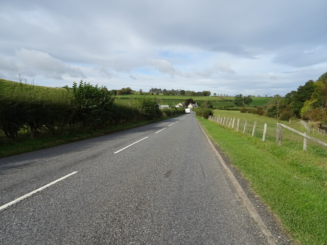
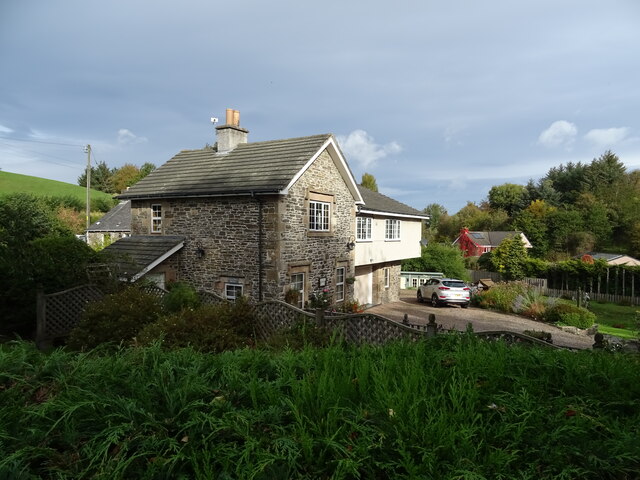
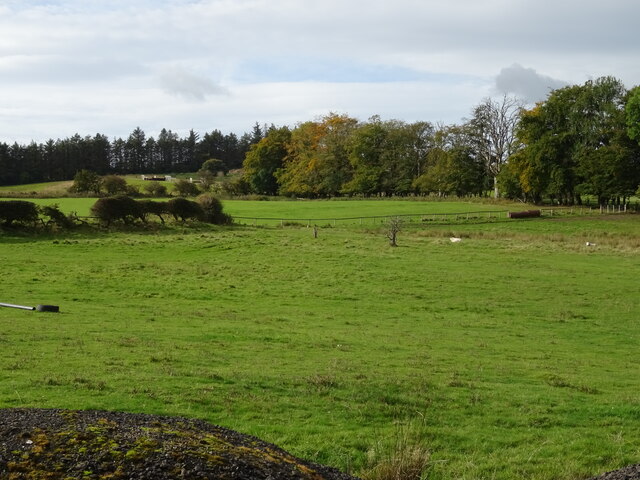
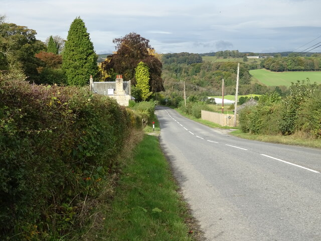
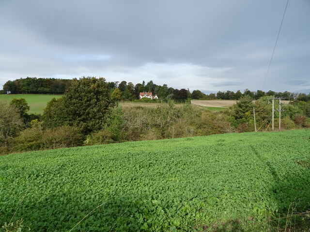
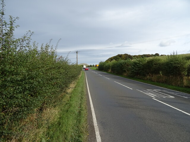
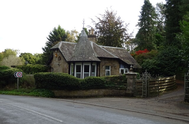
Cavers is a picturesque village located in the Roxburghshire region of the Scottish Borders. Situated along the banks of the River Tweed, it offers stunning views of the surrounding countryside and is known for its tranquil atmosphere. With a population of around 200 people, Cavers is a close-knit community that retains a strong sense of rural charm.

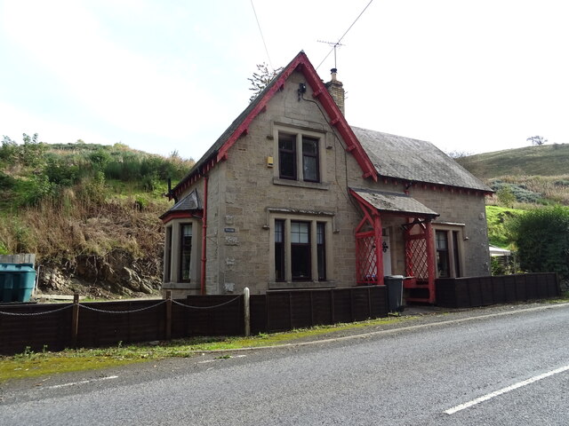
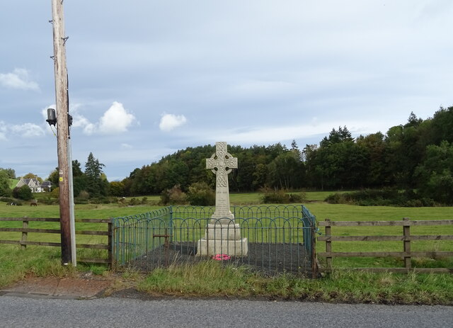
The village is steeped in history, with evidence of human habitation dating back thousands of years. The nearby Cavers Carre archaeological site, a hillfort dating from the Iron Age, serves as a testament to this rich heritage. Additionally, Cavers House, a 17th-century mansion, stands as a prominent landmark, showcasing the area's architectural heritage.

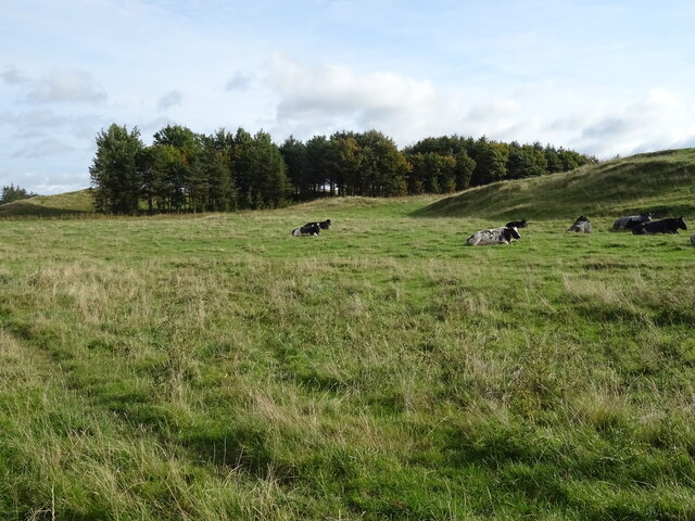
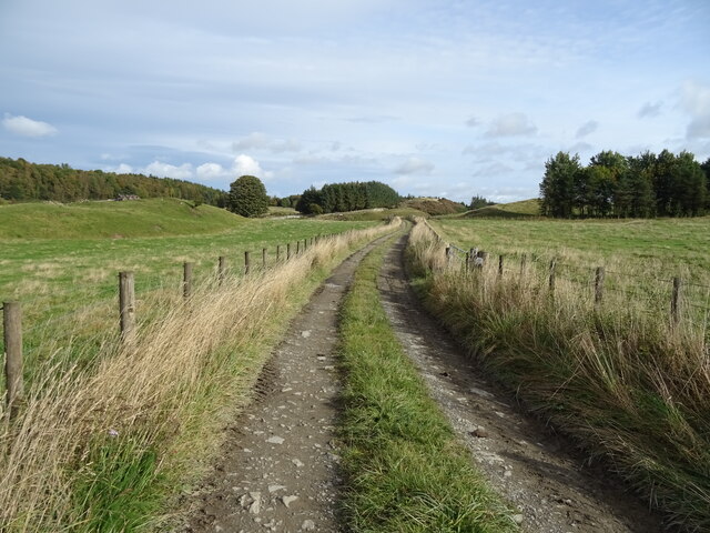
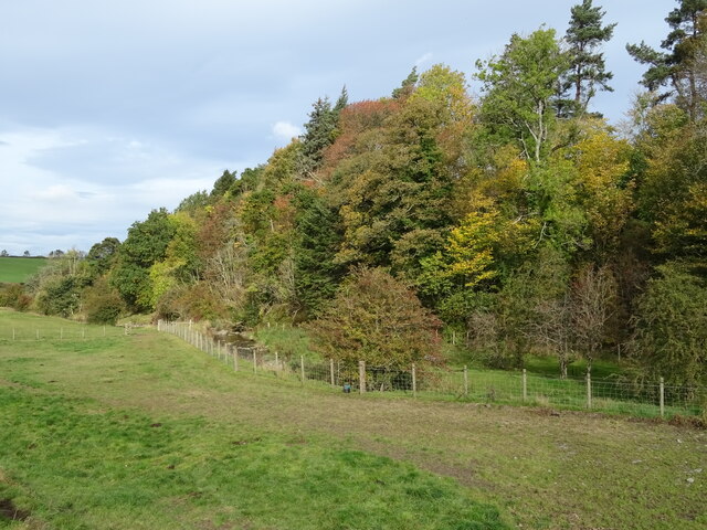
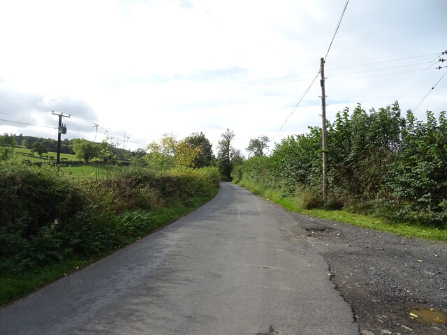
Nature enthusiasts are drawn to Cavers for its idyllic setting. The village is surrounded by rolling hills, wooded areas, and scenic trails, making it an excellent destination for hiking and exploring the great outdoors. The River Tweed is also a popular spot for fishing, attracting anglers from near and far.

Despite its small size, Cavers boasts a vibrant community spirit. The village has a primary school, community hall, and a local pub that serves as a gathering place for residents and visitors alike. The annual Cavers Gala, held in the summer, is a highly anticipated event, featuring games, music, and entertainment for all ages.

Cavers offers a peaceful retreat from the hustle and bustle of urban life. Its natural beauty, rich history, and friendly community make it an appealing destination for those seeking a quiet and charming Scottish village experience.

If you have any feedback on the listing, please let us know in the comments section below.
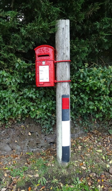
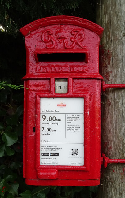
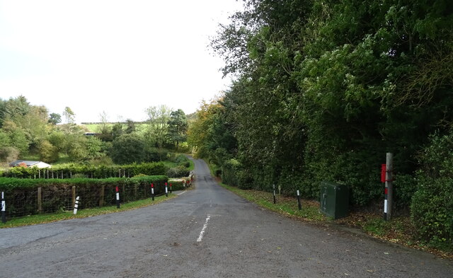
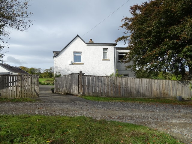
Cavers Images

Images are sourced within 2km of 55.435853/-2.721558 or Grid Reference NT5416. Thanks to Geograph Open Source API. All images are credited.

Grazing near Kirkton
Track towards Cavers Knowes
West Lodge on the A6088
A6088 towards Hawick
Grazing and woodland beside the Kirkton Burn
War Memorial, Deanbrae Beside the A6088.
War Memorial, Deanbrae
Beside the A6088.
Minor road, Deanbrae Towards Ormiston.
Minor road, Deanbrae
Towards Ormiston.
House in Cauldmill
House in Cauldmill
George VI postbox, Cauldmill Postbox No. TD9 54.

See <a href="https://www.geograph.org.uk/photo/7016978">NT5315 : Close up, George VI postbox, Cauldmill</a> for close up.
See <a href="https://www.geograph.org.uk/photo/7016980">NT5315 : Minor road, Cauldmill</a> for context.
George VI postbox, Cauldmill
Postbox No. TD9 54. See NT5315 : Close up, George VI postbox, Cauldmill for close up. See NT5315 : Minor road, Cauldmill for context.
Close up, George VI postbox, Cauldmill Postbox No. TD9 54.

See <a href="https://www.geograph.org.uk/photo/7016977">NT5315 : George VI postbox, Cauldmill</a> for wider view.
Close up, George VI postbox, Cauldmill
Postbox No. TD9 54. See NT5315 : George VI postbox, Cauldmill for wider view.
Minor road, Cauldmill Towards Kinninghall.
Showing position of Postbox No. TD9 54.

See <a href="https://www.geograph.org.uk/photo/7016977">NT5315 : George VI postbox, Cauldmill</a> for postbox.
Minor road, Cauldmill
Towards Kinninghall. Showing position of Postbox No. TD9 54. See NT5315 : George VI postbox, Cauldmill for postbox.
House on the A6088
House on the A6088
Grazing, Dodlands
Grazing, Dodlands
A6088, Dodlands Towards Hawick.
A6088, Dodlands
Towards Hawick.
Crop field beside the River Teviot Narrow strip of land beside the A698.
Crop field beside the River Teviot
Narrow strip of land beside the A698.
A698 towards Denholm
Lodge on the A698 near 	Hornshole Bridge
Lodge on the A698 near Hornshole Bridge
Postbox on the A698 near Hornshole Bridge Postbox No. TD9 36.

See <a href="https://www.geograph.org.uk/photo/7017000">NT5316 : A698 near Hornshole Bridge</a> for context.
Postbox on the A698 near Hornshole Bridge
Postbox No. TD9 36. See NT5316 : A698 near Hornshole Bridge for context.
Show me another place!

Cavers is located at Grid Ref: NT5416 (Lat: 55.435853, Lng: -2.721558)

Unitary Authority: The Scottish Borders

Police Authority: The Lothians and Scottish Borders

What 3 Words

///tugging.iteration.saying. Near Hawick, Scottish Borders

Related Wikis

Cavers, Scottish Borders

Cavers is a parish in the Scottish Borders area of Scotland, in the former county of Roxburghshire, south and east of Hawick. The largest village in the...

Cavers Castle

Cavers Castle, also known as Cavers House, is a ruined tower house located at Cavers, Scottish Borders, Scotland. Cavers Castle was a much extended tower...

Kirkton, Scottish Borders

Kirkton is a village in the Scottish Borders area of Scotland, off the A6088, near Hawick. Grid Ref. NT5413. It is a former parish, amalgamated into the...

Appletreehall

Appletreehall is a village in the Scottish Borders area of Scotland, 2 miles (3 kilometres) north-east of Hawick, in the historic county of Roxburghshire...

Nearby Amenities

Located within 500m of 55.435853,-2.721558
Post Box
Brand: Royal Mail
Brand Wikidata: Q638098
Operator: Royal Mail
Operator Wikidata: Q638098
Post Box Mounting: wooden_post
Post Box Type: lamp
Ref: TD9 50
Source: survey
Lat/Long: 55.4359388/-2.7214015
Noexit: yes
Lat/Long: 55.4338464/-2.7244711
Give Way
Direction: forward
Lat/Long: 55.4358859/-2.721579
Cavers Garden Farm
Place: hamlet
Lat/Long: 55.4370411/-2.7165001
Noexit: yes
Lat/Long: 55.4364867/-2.7211425
Noexit: yes
Lat/Long: 55.437207/-2.7198167
Noexit: yes
Lat/Long: 55.4373265/-2.7198645
Noexit: yes
Lat/Long: 55.4378141/-2.7188723
Noexit: yes
Lat/Long: 55.4379212/-2.719797
Noexit: yes
Lat/Long: 55.4341301/-2.7185991
Generator Method: photovoltaic
Generator Output Electricity: yes
Generator Source: solar
Generator Type: solar_photovoltaic_panel
Power: generator
Lat/Long: 55.4361622/-2.7159137
Generator Method: photovoltaic
Generator Output Electricity: yes
Generator Source: solar
Generator Type: solar_photovoltaic_panel
Power: generator
Lat/Long: 55.4342112/-2.7186078
Power: pole
Lat/Long: 55.4325868/-2.7206062
Power: pole
Lat/Long: 55.4320162/-2.7196004
Noexit: yes
Lat/Long: 55.4330556/-2.7274096
Power: pole
Lat/Long: 55.4362821/-2.7148305
Power: pole
Lat/Long: 55.4355241/-2.715902
Power: pole
Lat/Long: 55.434792/-2.71692
Power: pole
Lat/Long: 55.4340311/-2.7179864
Power: pole
Lat/Long: 55.4360251/-2.7146269
Power: pole
Lat/Long: 55.4362554/-2.7153395
Power: pole
Lat/Long: 55.436363/-2.7159236
Power: pole
Lat/Long: 55.4344592/-2.7286211
Power: pole
Lat/Long: 55.4350729/-2.7271729
Power: pole
Lat/Long: 55.4356317/-2.7258495
Power: pole
Lat/Long: 55.4361702/-2.7245642
Power: pole
Lat/Long: 55.4367608/-2.7232077
Power: pole
Lat/Long: 55.4373383/-2.7218206
Power: pole
Lat/Long: 55.4380805/-2.7200594
Power: pole
Lat/Long: 55.4380112/-2.7190566
Power: pole
Lat/Long: 55.4384385/-2.7184
Power: pole
Lat/Long: 55.4390348/-2.7174838
The data included in this document is from www.openstreetmap.org. The data is made available under ODbL.

Have you been to Cavers?

Leave your review of Cavers below (or comments, questions and feedback).