Littlecote Hill

Hill, Mountain in Roxburghshire

Scotland

Littlecote Hill

House in Cauldmill
House in Cauldmill Credit: JThomas

Littlecote Hill, located in Roxburghshire, is a prominent hill that forms part of the picturesque Scottish Borders region. Standing at an elevation of approximately 264 meters (866 feet), this hill is a popular destination for hikers, nature enthusiasts, and those seeking breathtaking panoramic views of the surrounding countryside.

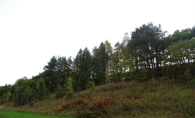
Covered in lush greenery, Littlecote Hill boasts a diverse range of flora and fauna, making it a haven for wildlife. Visitors can expect to encounter various bird species, including the iconic red grouse and skylarks, as well as mammals like rabbits and hares. The hill's undulating terrain is characterized by heather-clad slopes, interspersed with patches of woodland, providing a vibrant and ever-changing landscape throughout the year.

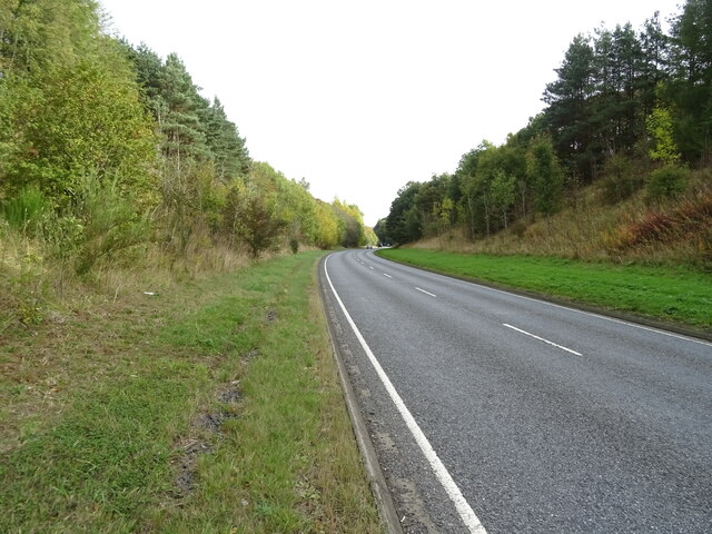
The hill offers a network of well-maintained trails and footpaths, making it accessible to walkers of all abilities. The most popular route to the summit is a moderate climb that rewards hikers with breathtaking vistas across the rolling hills and valleys. On clear days, the panoramic views stretch as far as the Cheviot Hills in the south and the Eildon Hills to the north.

Littlecote Hill holds historical significance too, with traces of Iron Age settlements and ancient fortifications scattered across its slopes. These remnants serve as a reminder of the area's rich heritage and provide a glimpse into the lives of its early inhabitants.

Whether exploring its natural wonders, immersing oneself in its historical significance, or simply enjoying a tranquil walk in the countryside, Littlecote Hill offers a captivating experience for all who venture to its summit.

If you have any feedback on the listing, please let us know in the comments section below.

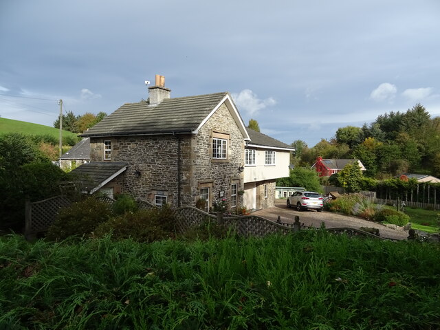
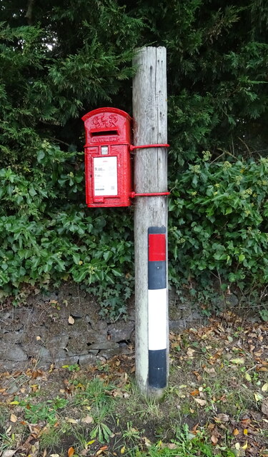
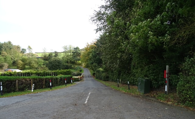
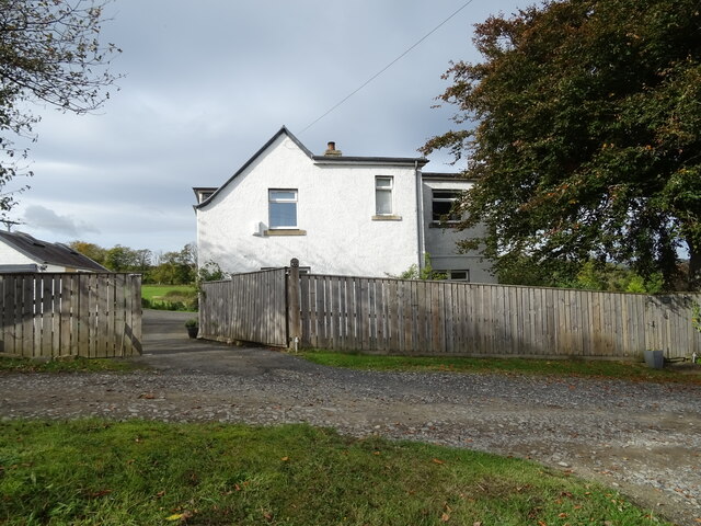
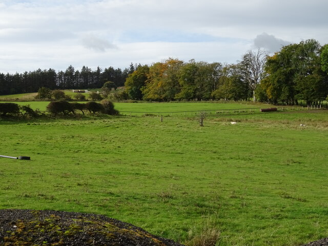
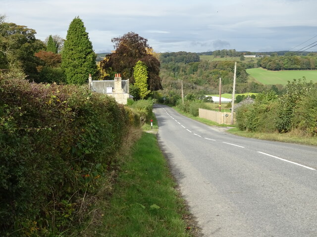
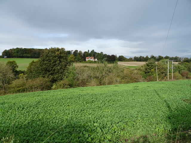
Littlecote Hill Images

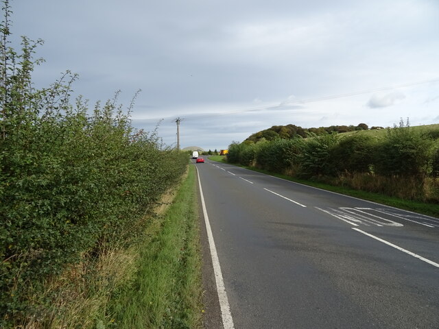
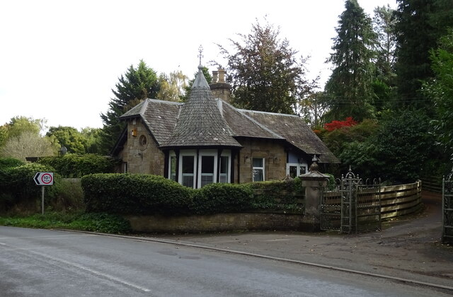
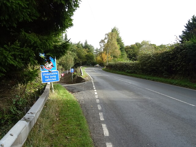
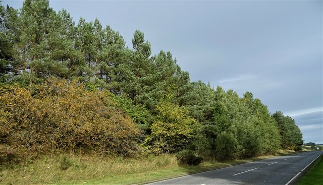
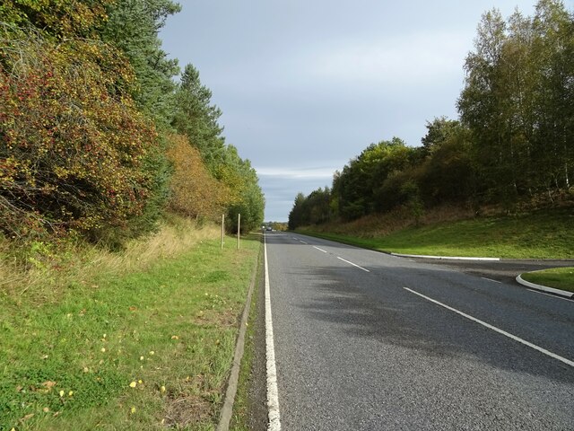
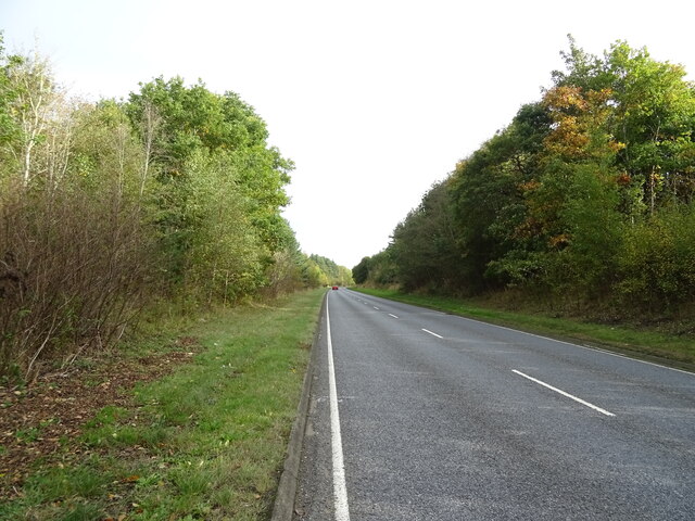
Images are sourced within 2km of 55.442484/-2.7261998 or Grid Reference NT5416. Thanks to Geograph Open Source API. All images are credited.

House in Cauldmill
House in Cauldmill
George VI postbox, Cauldmill Postbox No. TD9 54.

See <a href="https://www.geograph.org.uk/photo/7016978">NT5315 : Close up, George VI postbox, Cauldmill</a> for close up.
See <a href="https://www.geograph.org.uk/photo/7016980">NT5315 : Minor road, Cauldmill</a> for context.
George VI postbox, Cauldmill
Postbox No. TD9 54. See NT5315 : Close up, George VI postbox, Cauldmill for close up. See NT5315 : Minor road, Cauldmill for context.
Close up, George VI postbox, Cauldmill Postbox No. TD9 54.

See <a href="https://www.geograph.org.uk/photo/7016977">NT5315 : George VI postbox, Cauldmill</a> for wider view.
Close up, George VI postbox, Cauldmill
Postbox No. TD9 54. See NT5315 : George VI postbox, Cauldmill for wider view.
Minor road, Cauldmill Towards Kinninghall.
Showing position of Postbox No. TD9 54.

See <a href="https://www.geograph.org.uk/photo/7016977">NT5315 : George VI postbox, Cauldmill</a> for postbox.
Minor road, Cauldmill
Towards Kinninghall. Showing position of Postbox No. TD9 54. See NT5315 : George VI postbox, Cauldmill for postbox.
House on the A6088
House on the A6088
Grazing, Dodlands
Grazing, Dodlands
A6088, Dodlands Towards Hawick.
A6088, Dodlands
Towards Hawick.
Crop field beside the River Teviot Narrow strip of land beside the A698.
Crop field beside the River Teviot
Narrow strip of land beside the A698.
A698 towards Denholm
Lodge on the A698 near 	Hornshole Bridge
Lodge on the A698 near Hornshole Bridge
Postbox on the A698 near Hornshole Bridge Postbox No. TD9 36.

See <a href="https://www.geograph.org.uk/photo/7017000">NT5316 : A698 near Hornshole Bridge</a> for context.
Postbox on the A698 near Hornshole Bridge
Postbox No. TD9 36. See NT5316 : A698 near Hornshole Bridge for context.
A698 near Hornshole Bridge Towards Hawick.
Showing position of Postbox No. TD9 36.

See <a href="https://www.geograph.org.uk/photo/7016998">NT5316 : Postbox on the A698 near Hornshole Bridge</a> for postbox.
A698 near Hornshole Bridge
Towards Hawick. Showing position of Postbox No. TD9 36. See NT5316 : Postbox on the A698 near Hornshole Bridge for postbox.
A698 towards Denholm At the junction of the road to Hornshole Bridge.
A698 towards Denholm
At the junction of the road to Hornshole Bridge.
Woodland beside the A698, Old Ashybank
A698, Old Ashybank Towards Denholm.
A698, Old Ashybank
Towards Denholm.
A698, Teviotdale Towards Denholm.
A698, Teviotdale
Towards Denholm.
Wooded embankment beside the A698, Teviotdale
A698 towards Denholm
Show me another place!

Littlecote Hill is located at Grid Ref: NT5416 (Lat: 55.442484, Lng: -2.7261998)

Unitary Authority: The Scottish Borders

Police Authority: The Lothians and Scottish Borders

What 3 Words

///allowable.squirted.cringe. Near Hawick, Scottish Borders

Related Wikis

Cavers, Scottish Borders

Cavers is a parish in the Scottish Borders area of Scotland, in the former county of Roxburghshire, south and east of Hawick. The largest village in the...

Cavers Castle

Cavers Castle, also known as Cavers House, is a ruined tower house located at Cavers, Scottish Borders, Scotland. Cavers Castle was a much extended tower...

Appletreehall

Appletreehall is a village in the Scottish Borders area of Scotland, 2 miles (3 kilometres) north-east of Hawick, in the historic county of Roxburghshire...

Mansfield Park, Hawick

Mansfield Park is a rugby union ground in Hawick, Scotland, with a capacity of approximately 5,000. It is the home of Hawick Rugby Football Club, who currently...

Nearby Amenities

Located within 500m of 55.442484,-2.7261998
Natural: peak
Lat/Long: 55.4413257/-2.7208827
Spearbank
Place: isolated_dwelling
Lat/Long: 55.4444662/-2.7307968
Power: pole
Lat/Long: 55.4409218/-2.732963
Power: pole
Lat/Long: 55.441199/-2.73251
Power: pole
Lat/Long: 55.4416509/-2.7317948
Power: pole
Lat/Long: 55.4422399/-2.7307131
Power: pole
Lat/Long: 55.4426542/-2.7300412
Power: pole
Lat/Long: 55.4430758/-2.7293566
Power: pole
Lat/Long: 55.443568/-2.7285676
Power: pole
Lat/Long: 55.4440949/-2.7275038
Power: pole
Lat/Long: 55.4445598/-2.7267479
Power: pole
Lat/Long: 55.4450549/-2.7259513
Power: pole
Lat/Long: 55.4455457/-2.7251699
Power: pole
Lat/Long: 55.4460438/-2.724358
Power: pole
Lat/Long: 55.4465562/-2.7235411
Power: pole
Lat/Long: 55.4413607/-2.7332709
Power: pole
Lat/Long: 55.4418804/-2.7336043
Power: pole
Lat/Long: 55.4424564/-2.7339683
Power: pole
Lat/Long: 55.4445107/-2.7288934
Power: pole
Lat/Long: 55.4447864/-2.7297765
Power: pole
Lat/Long: 55.4449683/-2.7303314
The data included in this document is from www.openstreetmap.org. The data is made available under ODbL.

Have you been to Littlecote Hill?

Leave your review of Littlecote Hill below (or comments, questions and feedback).