Buck Stone
Hill, Mountain in Gloucestershire Forest of Dean
England
Buck Stone

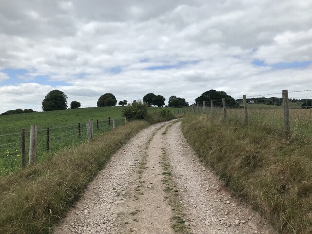
Buck Stone, located in the county of Gloucestershire, England, is a prominent hill that offers breathtaking views of the surrounding countryside. Rising to an elevation of approximately 282 meters (925 feet), it is classified as a hill rather than a mountain due to its relatively modest height. However, its strategic location and distinctive features make it a popular destination for hikers and nature enthusiasts.
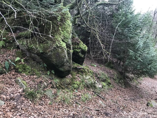
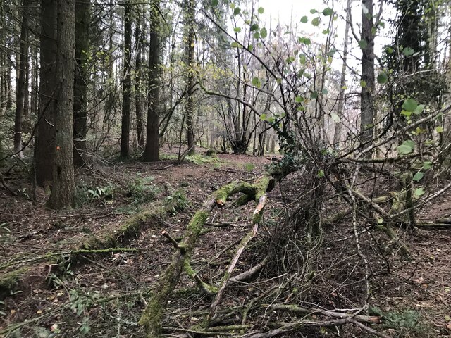
The hill is characterized by its distinct shape, resembling a buck's head when viewed from certain angles, hence its name. It is primarily composed of limestone, which gives it a unique appearance and contributes to its ecological significance. The limestone outcrops on the hill are home to a wide variety of plants and animals, including rare species like the limestone fern and several species of orchids.
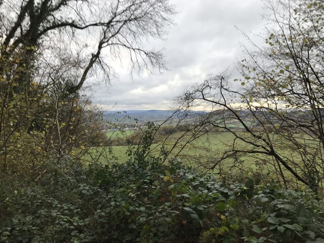
The summit of Buck Stone offers panoramic views of the surrounding Gloucestershire countryside, with rolling green hills, picturesque villages, and even glimpses of the nearby River Severn. On clear days, it is possible to see as far as the Malvern Hills and the Cotswolds, adding to the allure of this natural landmark.
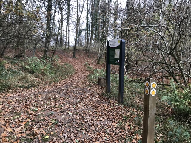
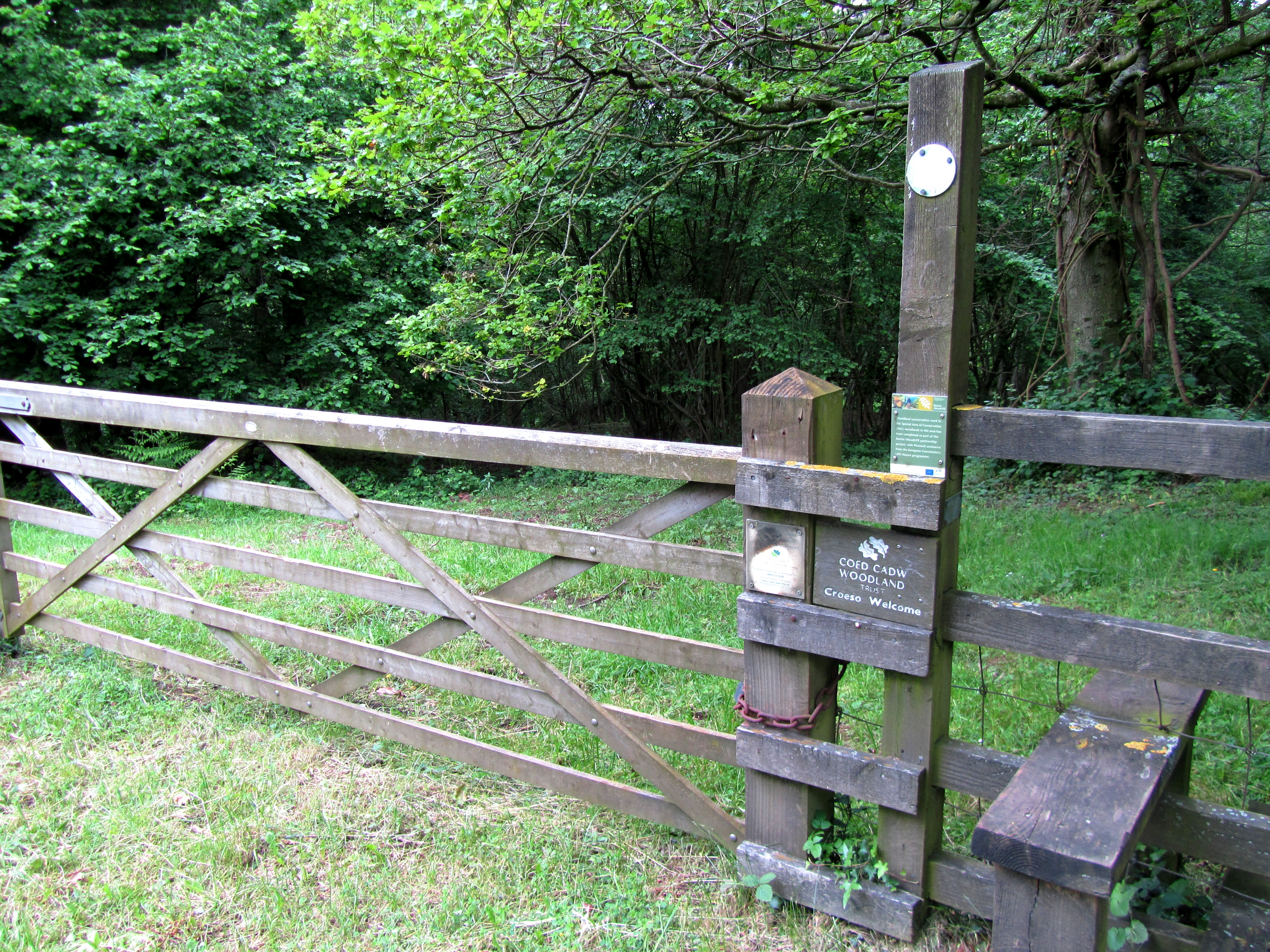
Access to Buck Stone is relatively easy, with several well-marked paths and trails leading to the summit. The hill is a popular destination for walkers and hikers of all abilities, as it provides a rewarding challenge without requiring advanced mountaineering skills. Visitors can enjoy a leisurely stroll through the surrounding countryside or embark on a more challenging hike to reach the summit.
Overall, Buck Stone in Gloucestershire offers a unique combination of natural beauty, ecological importance, and recreational opportunities, making it a must-visit destination for those seeking to explore the scenic wonders of the region.
If you have any feedback on the listing, please let us know in the comments section below.
Buck Stone Images
Images are sourced within 2km of 51.807098/-2.6659873 or Grid Reference SO5412. Thanks to Geograph Open Source API. All images are credited.


Buck Stone is located at Grid Ref: SO5412 (Lat: 51.807098, Lng: -2.6659873)
Administrative County: Gloucestershire
District: Forest of Dean
Police Authority: Gloucestershire
What 3 Words
///vivid.riverside.treble. Near Monmouth, Monmouthshire
Nearby Locations
Related Wikis

Staunton (near Coleford)
Staunton is a village and civil parish in the Forest of Dean in west Gloucestershire, England, close to the border with Wales. == Location == Staunton...

Swanpool Wood and Furnace Grove
Swanpool Wood and Furnace Grove (grid reference SO541107) is a 13.59-hectare (33.6-acre) biological Site of Special Scientific Interest (a conservation...

The Kymin
The Kymin (Welsh: Cae-y-Maen), is a hill overlooking Monmouth, in Monmouthshire, Wales. It is located approximately one mile east of Monmouth, on the eastern...

Harper's Grove – Lord's Grove
Harper's Grove – Lord's Grove is a Site of Special Scientific Interest (SSSI), noted for its biological characteristics, in Monmouthshire, south east Wales...

Stowfield quarry
Stowfield quarry is a quarry in the Forest of Dean about 2 km south of Staunton, near Coleford, Gloucestershire, England. == References ==

Redbrook Incline Bridge
The Redbrook Incline Bridge is a nineteenth-century tramway bridge that crosses the B4231 road at Redbrook on the England–Wales border. The bridge straddles...
Fiddler's Elbow National Nature Reserve
Fiddler's Elbow National Nature Reserve is a steep sided, woodland national nature reserve of 45 hectares in the Upper Wye Valley to the north of Monmouth...

Dingle Wood
Dingle Wood (grid reference SO562115) is a 9.95-hectare (24.6-acre) biological Site of Special Scientific Interest in Gloucestershire, notified in 1972...
Nearby Amenities
Located within 500m of 51.807098,-2.6659873Have you been to Buck Stone?
Leave your review of Buck Stone below (or comments, questions and feedback).