Rodge Wood
Wood, Forest in Gloucestershire Forest of Dean
England
Rodge Wood

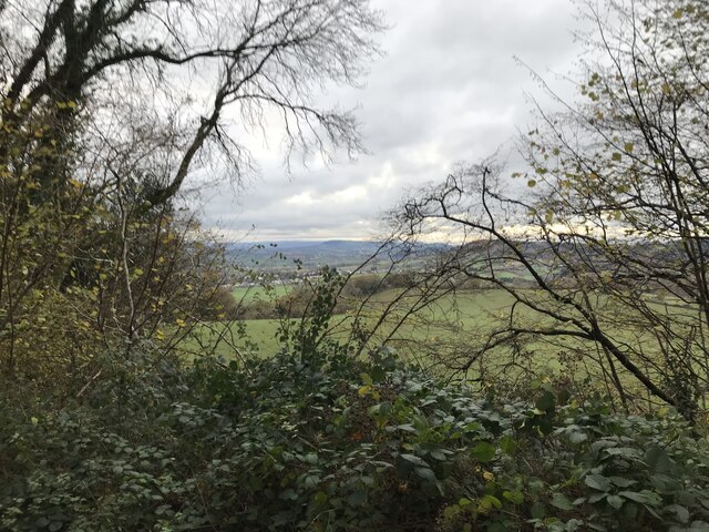
Rodge Wood is a small village located in the Forest of Dean district of Gloucestershire, England. Situated in the southwestern part of the country, it is surrounded by picturesque natural beauty and is renowned for its lush woodlands and serene atmosphere.
The village is nestled within the larger forest area and is home to a close-knit community. The area has a rich history, with evidence of human settlement dating back to the Roman times. The name "Rodge Wood" itself is believed to be derived from the Old English word "rod," meaning clearing or wood.
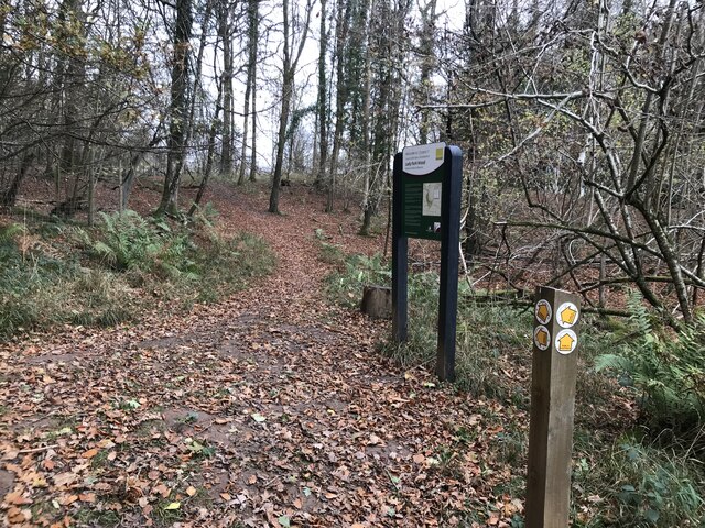
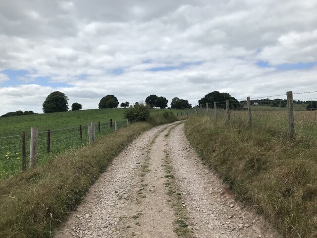
Despite its small size, Rodge Wood offers a range of amenities and services to its residents. The village has a primary school, a local pub, a village hall, and a community center, which serve as focal points for social gatherings and events. There are also several walking and cycling trails that wind through the surrounding woodlands, allowing residents and visitors to explore the natural beauty of the area.
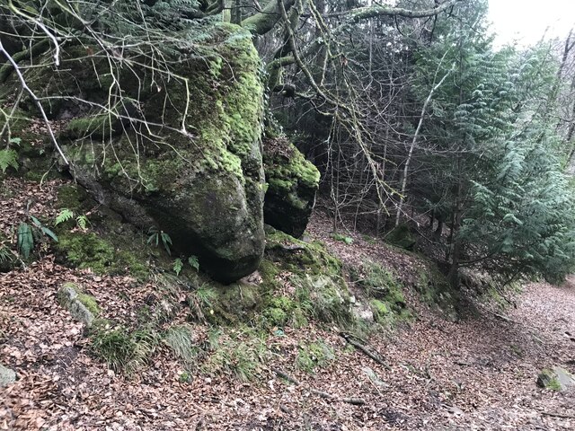
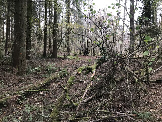
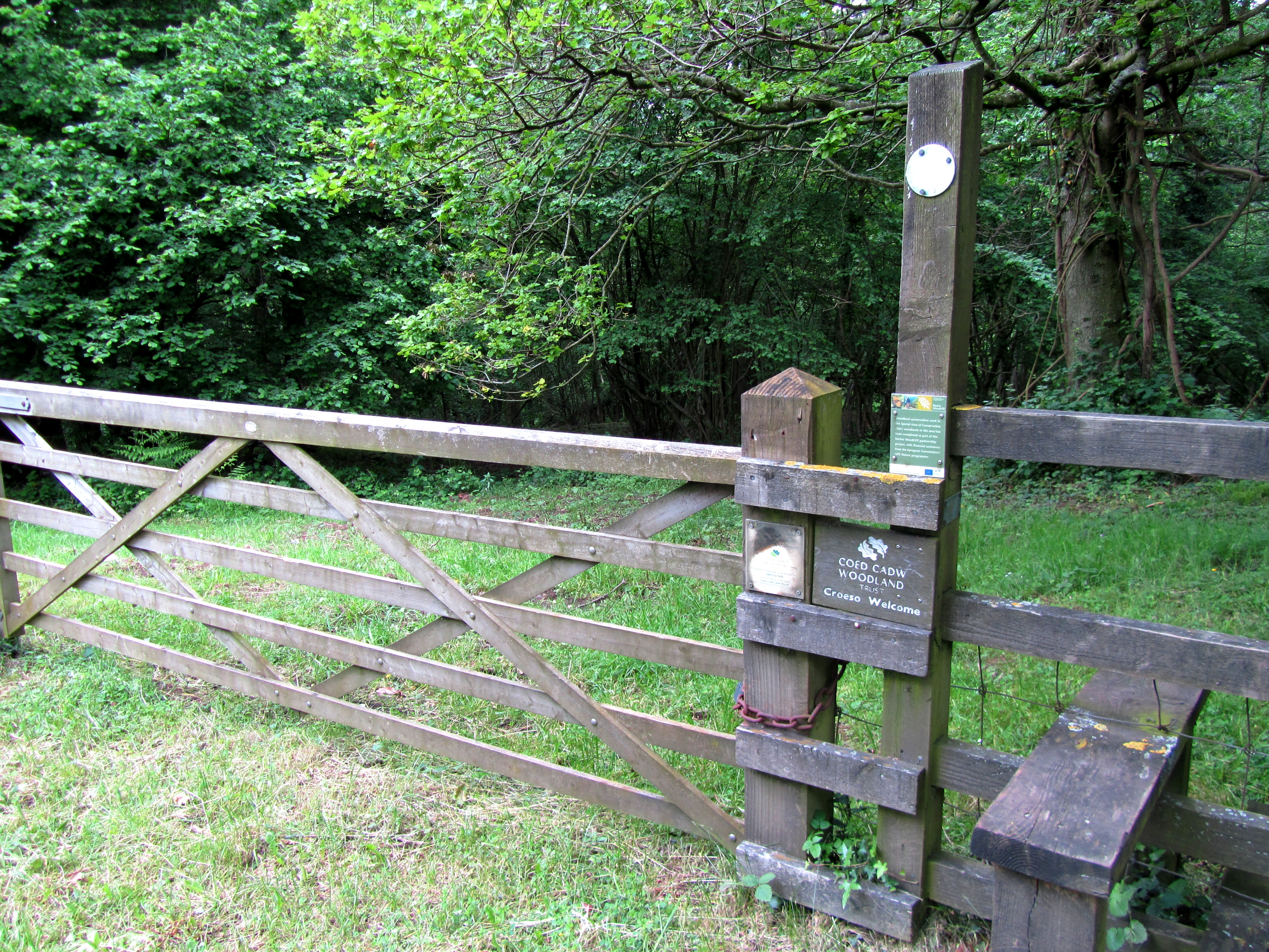
The Forest of Dean, in which Rodge Wood is situated, is a designated Area of Outstanding Natural Beauty. It boasts a diverse range of flora and fauna, with ancient oak trees, wild boar, and various bird species among its inhabitants. The forest is also known for its rich industrial heritage, having been a center for coal mining and ironworking in the past.
Overall, Rodge Wood offers a tranquil and idyllic setting for those seeking a peaceful village lifestyle amidst the beauty of nature.
If you have any feedback on the listing, please let us know in the comments section below.
Rodge Wood Images
Images are sourced within 2km of 51.807799/-2.6660701 or Grid Reference SO5412. Thanks to Geograph Open Source API. All images are credited.


Rodge Wood is located at Grid Ref: SO5412 (Lat: 51.807799, Lng: -2.6660701)
Administrative County: Gloucestershire
District: Forest of Dean
Police Authority: Gloucestershire
What 3 Words
///dare.reap.sprinter. Near Monmouth, Monmouthshire
Nearby Locations
Related Wikis

Staunton (near Coleford)
Staunton is a village and civil parish in the Forest of Dean in west Gloucestershire, England, close to the border with Wales. == Location == Staunton...

The Kymin
The Kymin (Welsh: Cae-y-Maen), is a hill overlooking Monmouth, in Monmouthshire, Wales. It is located approximately one mile east of Monmouth, on the eastern...

Swanpool Wood and Furnace Grove
Swanpool Wood and Furnace Grove (grid reference SO541107) is a 13.59-hectare (33.6-acre) biological Site of Special Scientific Interest (a conservation...

Harper's Grove – Lord's Grove
Harper's Grove – Lord's Grove is a Site of Special Scientific Interest (SSSI), noted for its biological characteristics, in Monmouthshire, south east Wales...

Stowfield quarry
Stowfield quarry is a quarry in the Forest of Dean about 2 km south of Staunton, near Coleford, Gloucestershire, England. == References ==
Fiddler's Elbow National Nature Reserve
Fiddler's Elbow National Nature Reserve is a steep sided, woodland national nature reserve of 45 hectares in the Upper Wye Valley to the north of Monmouth...

Redbrook Incline Bridge
The Redbrook Incline Bridge is a nineteenth-century tramway bridge that crosses the B4231 road at Redbrook on the England–Wales border. The bridge straddles...

Lady Park Wood National Nature Reserve
Lady Park Wood National Nature Reserve (grid reference SO546144) is a 45-hectare (110-acre) nature reserve straddling the borders of Gloucestershire in...
Nearby Amenities
Located within 500m of 51.807799,-2.6660701Have you been to Rodge Wood?
Leave your review of Rodge Wood below (or comments, questions and feedback).