Bonerbo Wood

Wood, Forest in Fife

Scotland

Bonerbo Wood

Mile stone marker A milestone marker on the B 940 road from Crail to Cupar.
Mile stone marker Credit: Sandy Gemmill

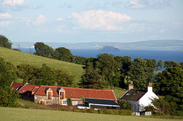
Bonerbo Wood is a picturesque forest located in Fife, Scotland. Covering an area of approximately 100 hectares, it is a notable natural landmark in the region. The wood is situated near the small village of Bonerbo, which is surrounded by rolling hills and farmland.

The forest is primarily composed of native broadleaf trees, including oak, beech, and birch, which create a diverse and beautiful landscape. The thick canopy provides shade and shelter for a variety of wildlife, making the wood a haven for nature enthusiasts and birdwatchers.

Visitors to Bonerbo Wood can enjoy a network of well-maintained trails that meander through the forest, allowing for peaceful walks and opportunities to explore the rich flora and fauna. These paths are suitable for all ages and fitness levels, making it an ideal destination for families and individuals seeking tranquility and connection with nature.

The wood holds historical significance, with remnants of ancient settlements found within its boundaries. Archaeological evidence suggests that humans have inhabited the area for thousands of years, leaving behind traces of their existence in the form of ancient structures and artifacts.

Bonerbo Wood is also a designated Site of Special Scientific Interest (SSSI), recognizing its ecological importance and the diverse range of plant and animal species that call it home. Conservation efforts are in place to protect and preserve this unique habitat.

Overall, Bonerbo Wood offers a peaceful and enchanting experience for those seeking solace in nature, showcasing the natural beauty and historical heritage of Fife's woodlands.

If you have any feedback on the listing, please let us know in the comments section below.
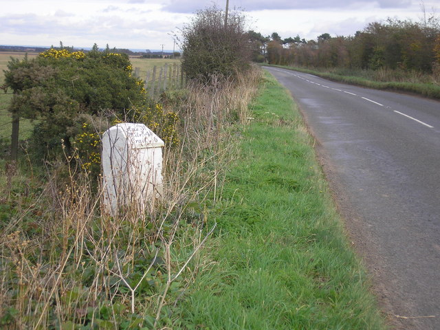
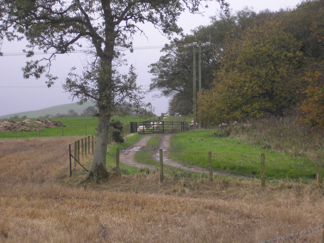
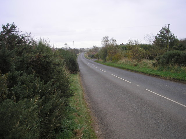
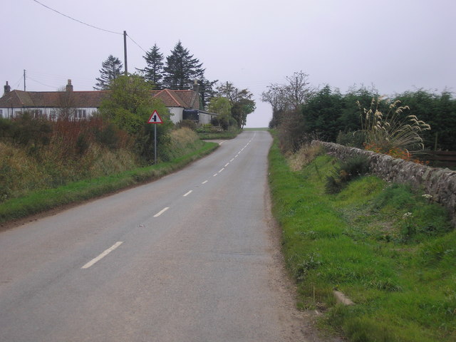
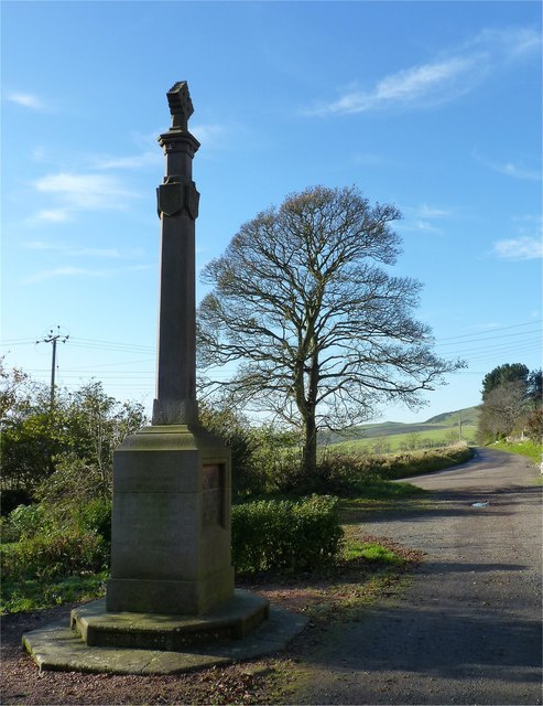
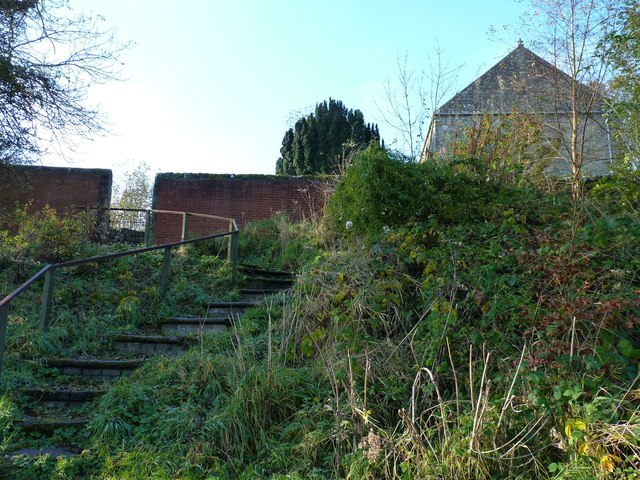
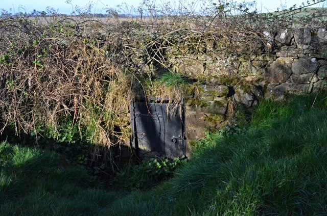
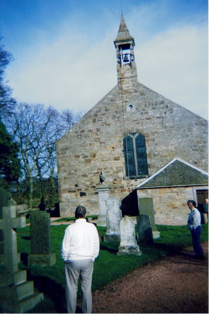
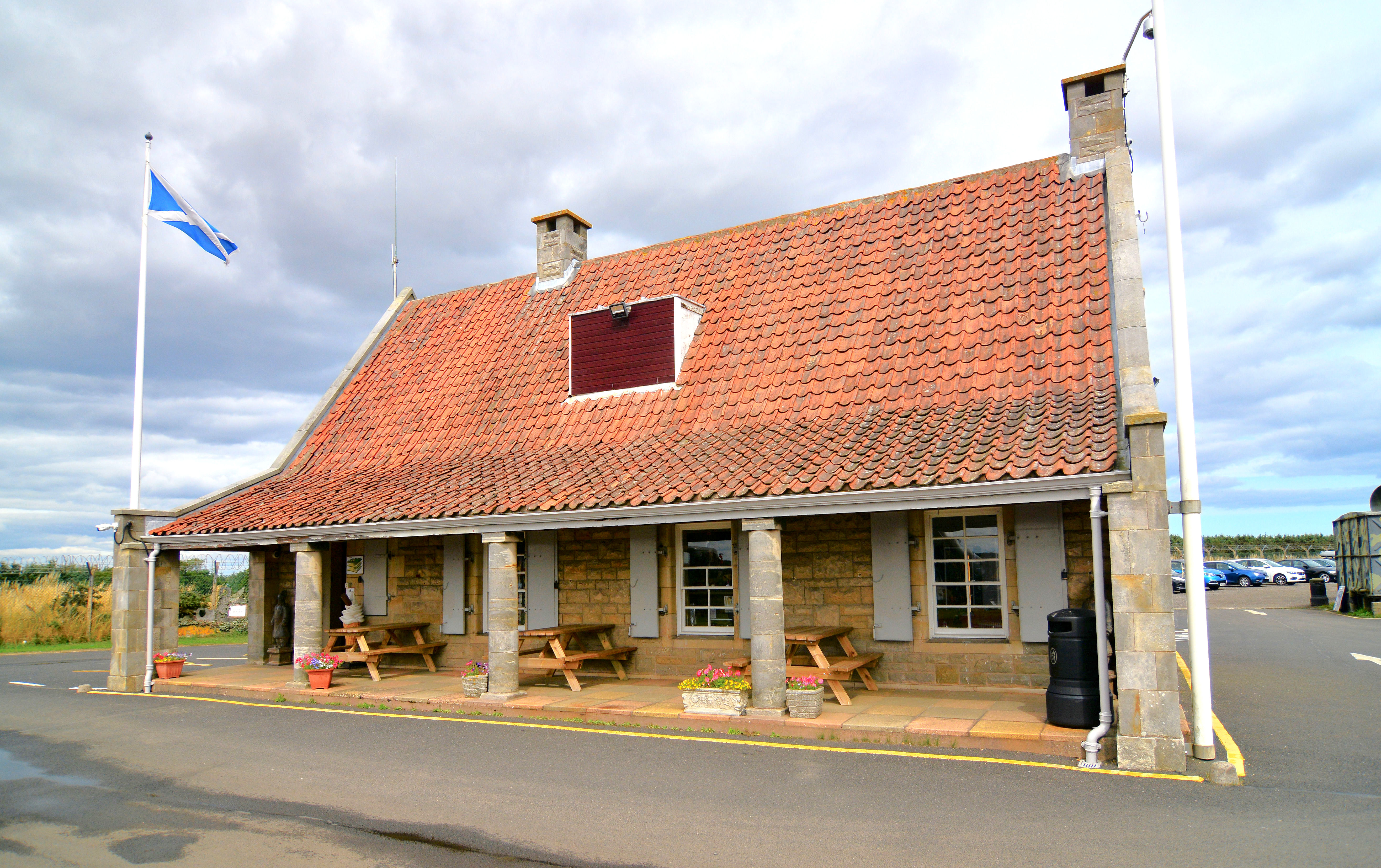
Bonerbo Wood Images

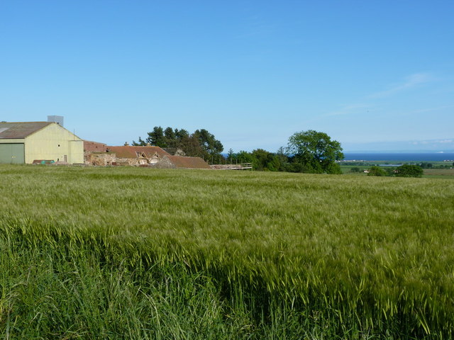
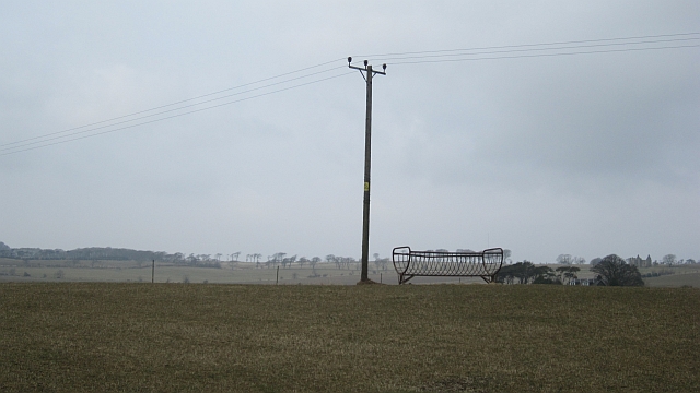
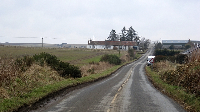
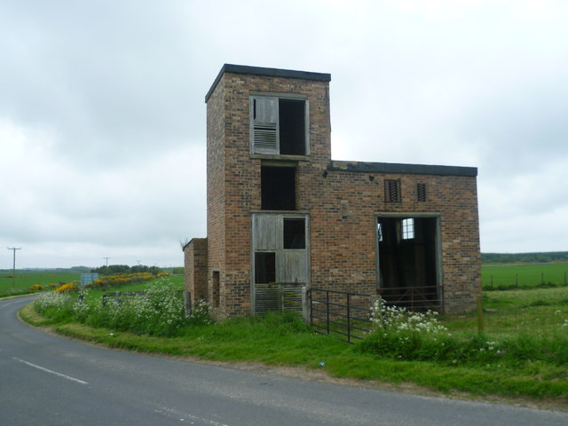
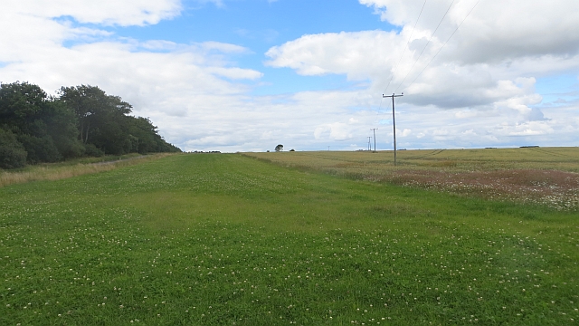
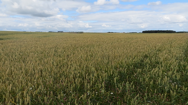
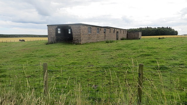
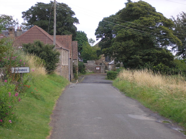
Images are sourced within 2km of 56.259154/-2.7384155 or Grid Reference NO5407. Thanks to Geograph Open Source API. All images are credited.

Mile stone marker A milestone marker on the B 940 road from Crail to Cupar.
Mile stone marker
A milestone marker on the B 940 road from Crail to Cupar.
Farm track The view of a farm track and woodland as seen from the B940, opposite the entrance to Kingsmuir House.
Farm track
The view of a farm track and woodland as seen from the B940, opposite the entrance to Kingsmuir House.
B940 road, heading towards the Drumrack junction The view of the B940.  The entrance and parking area to the front of a house named Hurlmakin can be seen on the right hand side of the road.
B940 road, heading towards the Drumrack junction
The view of the B940. The entrance and parking area to the front of a house named Hurlmakin can be seen on the right hand side of the road.
Road junction The road junction on the B940.  The minor road on the left goes from here (Lochty) to Carnbee.
Road junction
The road junction on the B940. The minor road on the left goes from here (Lochty) to Carnbee.
War memorial Remembering the men from Carnbee district lost during World War 1.
War memorial
Remembering the men from Carnbee district lost during World War 1.
Yew shadow Cast on the wall of Carnbee Church.
Yew shadow
Cast on the wall of Carnbee Church.
Little used entrance Steps leading to the rear of Carnbee Church.
Little used entrance
Steps leading to the rear of Carnbee Church.
A Carnbee well One of two on the short section of road.
A Carnbee well
One of two on the short section of road.
Carnbee Church, Fife, Scotland Remote Carnbee church in the rolling hills of eastern Fife
Carnbee Church, Fife, Scotland
Remote Carnbee church in the rolling hills of eastern Fife
Carnbee Farm from the track to Kellie Law
B9171 near Carvenom Stubble covered fields in the East Neuk on a rather dreich day at the end of a prolonged Winter.
B9171 near Carvenom
Stubble covered fields in the East Neuk on a rather dreich day at the end of a prolonged Winter.
Winter crops There is a wide variety of sowing times here. This field was sown the previous Summer or Autumn while neighbouring fields are still yet to be ploughed. The prolonged winter has made timing difficult.
Winter crops
There is a wide variety of sowing times here. This field was sown the previous Summer or Autumn while neighbouring fields are still yet to be ploughed. The prolonged winter has made timing difficult.
Grassland, Lochty Grey and awaiting growth at the end of a longer than usual winter. When I passed by a few weeks on there were Hereford bulls here.
Grassland, Lochty
Grey and awaiting growth at the end of a longer than usual winter. When I passed by a few weeks on there were Hereford bulls here.
B940, Lochty
B940, Lochty
Wartime building on the B940 I thought this might be a relic of a wartime aerodrome, but I see from Jim Allan's caption that it was built in connection with a radar installation. The farmer on whose land its stands has toyed with the idea of converting it to a roadside farmshop, but hasn't gone ahead yet.
Wartime building on the B940
I thought this might be a relic of a wartime aerodrome, but I see from Jim Allan's caption that it was built in connection with a radar installation. The farmer on whose land its stands has toyed with the idea of converting it to a roadside farmshop, but hasn't gone ahead yet.
Clover strip A grass and clover strip between a wheat crop and the B940.
Clover strip
A grass and clover strip between a wheat crop and the B940.
Wheat crop A large field with a strip wood on the eastern side.
Wheat crop
A large field with a strip wood on the eastern side.
Wartime building, Drumrack The lower of two brick buildings by the crossroads. This one has been used to house machinery and has a wall knocked out.
Wartime building, Drumrack
The lower of two brick buildings by the crossroads. This one has been used to house machinery and has a wall knocked out.
Show me another place!

Bonerbo Wood is located at Grid Ref: NO5407 (Lat: 56.259154, Lng: -2.7384155)

Unitary Authority: Fife

Police Authority: Fife

What 3 Words

///romantics.classic.explorer. Near Anstruther, Fife

Nearby Locations

Bonerbo Wood

Related Wikis

Nearby Amenities

Located within 500m of 56.259154,-2.7384155
Generator Method: wind_turbine
Generator Output Electricity: 0.5 MW
Generator Source: wind
Generator Type: horizontal_axis
Power: generator
Lat/Long: 56.2579882/-2.741627
Generator Method: wind_turbine
Generator Output Electricity: 0.5 MW
Generator Source: wind
Generator Type: horizontal_axis
Power: generator
Lat/Long: 56.2564945/-2.7417571
Power: pole
Lat/Long: 56.2578623/-2.7320069
Power: pole
Lat/Long: 56.2583927/-2.7331469
Power: pole
Lat/Long: 56.2589305/-2.734268
Power: pole
Lat/Long: 56.2594311/-2.7353436
Power: pole
Lat/Long: 56.2599138/-2.7364728
Power: pole
Lat/Long: 56.2604278/-2.7375484
Power: pole
Lat/Long: 56.2609656/-2.73864
Power: pole
Lat/Long: 56.2607287/-2.7400187
Power: pole
Lat/Long: 56.2603235/-2.7425051
Power: pole
Lat/Long: 56.2600383/-2.7456221
Power: pole
Lat/Long: 56.2593749/-2.7447152
Power: pole
Lat/Long: 56.2587456/-2.743857
Power: pole
Lat/Long: 56.2549423/-2.7384038
Power: pole
Lat/Long: 56.2555532/-2.7390701
Power: pole
Lat/Long: 56.2562074/-2.7397769
Power: pole
Lat/Long: 56.2568434/-2.7404815
Power: pole
Lat/Long: 56.2557/-2.737076
Power: pole
Lat/Long: 56.2560512/-2.7359039
Power: pole
Lat/Long: 56.2563899/-2.7346957
Power: pole
Lat/Long: 56.2567299/-2.7335259
Power: pole
Lat/Long: 56.2553462/-2.7382887
Power: pole
Lat/Long: 56.2549811/-2.7395285
The data included in this document is from www.openstreetmap.org. The data is made available under ODbL.

Have you been to Bonerbo Wood?

Leave your review of Bonerbo Wood below (or comments, questions and feedback).