Penhill Plantation

Wood, Forest in Roxburghshire

Scotland

Penhill Plantation

Great Laws Plantation
Great Laws Plantation Credit: Richard Webb

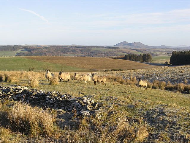
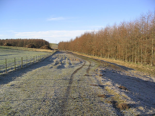
Penhill Plantation, located in Roxburghshire, Scotland, is a remarkable woodland area known for its picturesque beauty and rich history. Covering an area of approximately 500 acres, this enchanting forest is nestled amidst the rolling hills and scenic landscapes of the Scottish Borders.

With its origins dating back to the 18th century, Penhill Plantation was once part of a grand estate owned by the Dukes of Roxburghe. Today, it stands as a testament to the region's natural heritage and serves as a popular destination for nature enthusiasts, hikers, and history buffs alike.

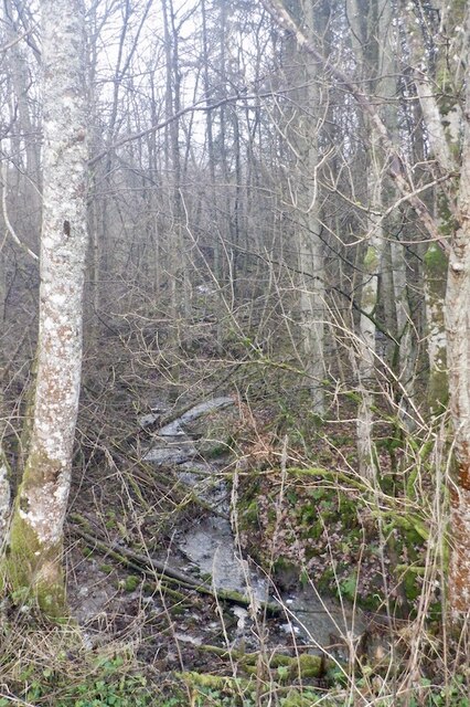
The woodland is predominantly composed of native Scottish trees such as oak, birch, and rowan, providing a diverse habitat for a variety of flora and fauna. The forest floor boasts a vibrant carpet of wildflowers, while the canopy above provides a sanctuary for numerous bird species including woodpeckers, owls, and red kites.

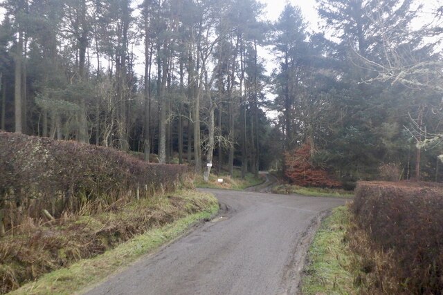
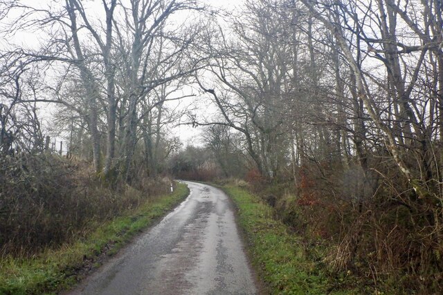
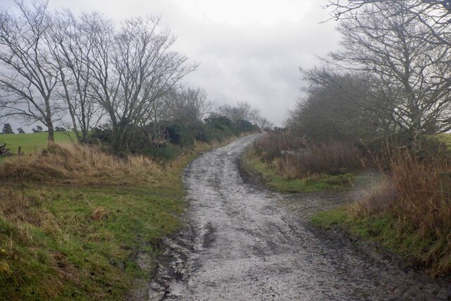
Visitors to Penhill Plantation can explore the well-maintained walking trails that wind their way through the woodland, offering stunning views of the surrounding countryside. The trails cater to different abilities and interests, ranging from leisurely strolls to more challenging hikes.

The plantation also holds historical significance, with remnants of its past still visible throughout the area. The majestic Penhill House, a Georgian mansion built in the 18th century, stands as a prominent feature within the forest, showcasing its grand architectural style.

Penhill Plantation, with its captivating beauty and intriguing history, is a true gem of Roxburghshire. Whether one seeks solace in nature, an adventure on its trails, or a glimpse into the region's past, this woodland sanctuary offers a memorable experience for all who visit.

If you have any feedback on the listing, please let us know in the comments section below.

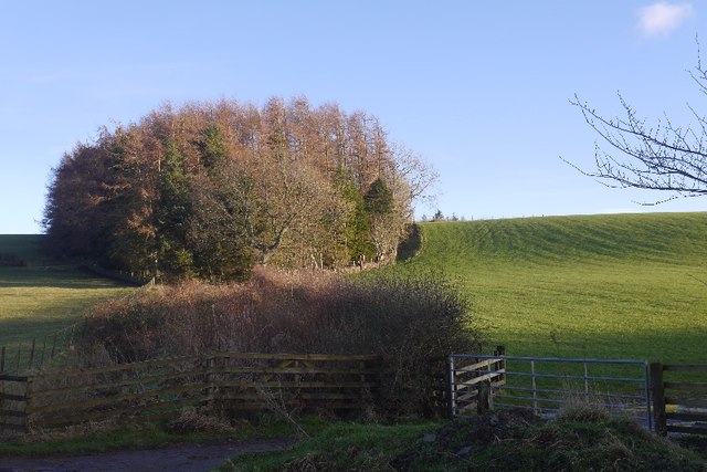
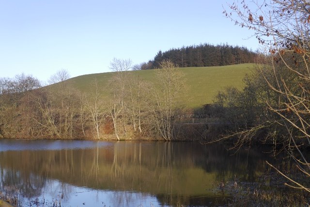
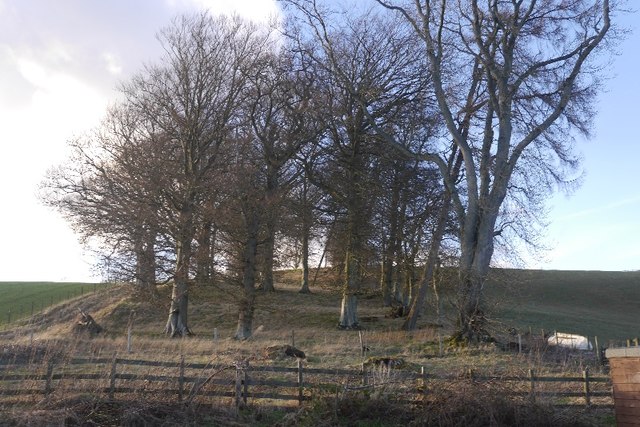
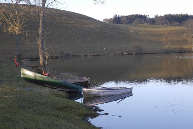
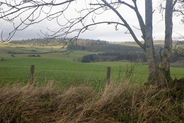
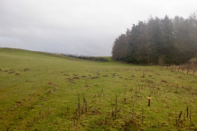
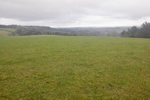
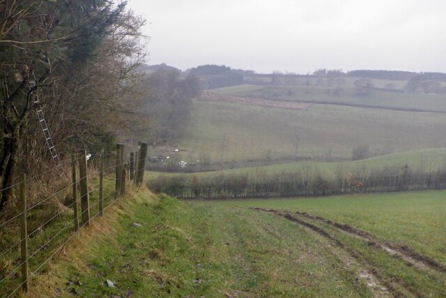
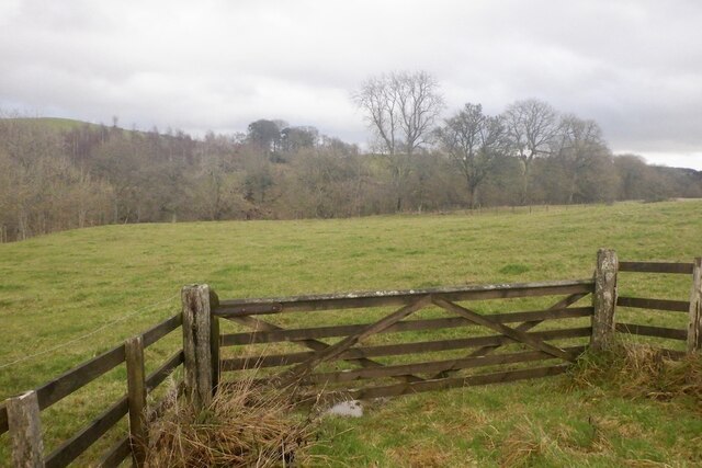
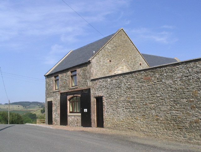
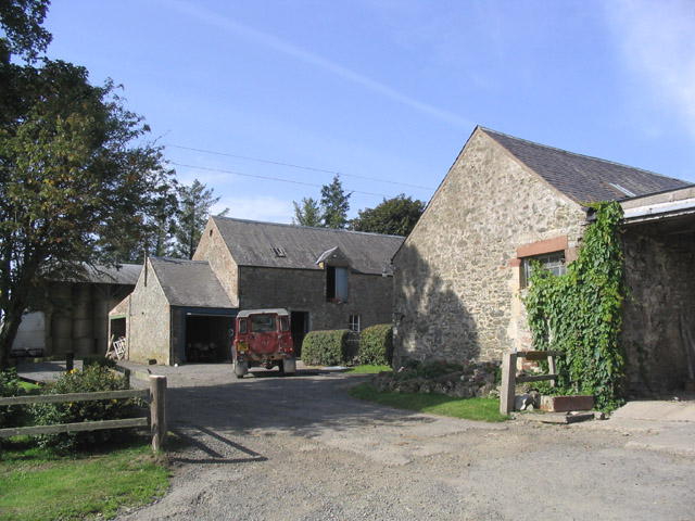
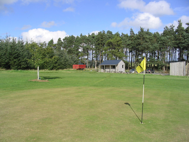
Penhill Plantation Images

Images are sourced within 2km of 55.493775/-2.8010272 or Grid Reference NT4922. Thanks to Geograph Open Source API. All images are credited.

Great Laws Plantation
Clerklands Loch A trout fishery near Selkirk.  The loch looks well established, but you will not find it on the 1:50,000 map.
Clerklands Loch
A trout fishery near Selkirk. The loch looks well established, but you will not find it on the 1:50,000 map.
North Cringles Strip A strip wood by Clerklands Loch.
North Cringles Strip
A strip wood by Clerklands Loch.
Clerklands Loch Boats tied up for the close season.
Clerklands Loch
Boats tied up for the close season.
Road junction, Dimpleknowe
Minor road by Hermiston
Hermiston Burn
Hermiston Burn
Farm road, Hermiston
Field, Hermiston
Field, Hermiston
Greatlaws Plantation
Greatlaws summit
Greatlaws summit
Edge of Greatlaws Plantation
Field near Synton Mill
Mill Cottage at Dimpleknowe This is a 2 storey former mill that has recently been converted into self catering holiday accommodation
Mill Cottage at Dimpleknowe
This is a 2 storey former mill that has recently been converted into self catering holiday accommodation
Hermiston Farm
Hermiston Farm
The 7th green at Lilliesleaf Golf Course near Dimpleknowe
Sheep near Satchels Farm Taken on a fine February morning with the Eildon Hills in the background.
Sheep near Satchels Farm
Taken on a fine February morning with the Eildon Hills in the background.
Farmland and plantations Blackcraig Plantation is on the left and a larch strip plantation on the right.
Brushwood piles can be seen at a clear fell area.
Farmland and plantations
Blackcraig Plantation is on the left and a larch strip plantation on the right. Brushwood piles can be seen at a clear fell area.
Show me another place!

Penhill Plantation is located at Grid Ref: NT4922 (Lat: 55.493775, Lng: -2.8010272)

Unitary Authority: The Scottish Borders

Police Authority: The Lothians and Scottish Borders

What 3 Words

///meanings.asterisk.magma. Near Selkirk, Scottish Borders

Related Wikis

Nearby Amenities

Located within 500m of 55.493775,-2.8010272
Natural: peak
Lat/Long: 55.4932211/-2.7998083
Power: tower
Lat/Long: 55.4957041/-2.7986464
Power: tower
Lat/Long: 55.4939779/-2.7987074
Power: tower
Lat/Long: 55.4925864/-2.7987566
Power: tower
Lat/Long: 55.490586/-2.7988272
Power: pole
Lat/Long: 55.4946905/-2.8087862
Power: pole
Lat/Long: 55.4943113/-2.8078824
Power: pole
Lat/Long: 55.494285/-2.8062653
Power: pole
Lat/Long: 55.4950027/-2.8052637
Power: pole
Lat/Long: 55.4955395/-2.8044834
Power: pole
Lat/Long: 55.496101/-2.8036775
Power: pole
Lat/Long: 55.4960835/-2.8026784
Power: pole
Lat/Long: 55.4960471/-2.8016535
Power: pole
Lat/Long: 55.4959668/-2.8000339
Power: pole
Lat/Long: 55.4959668/-2.7990374
Power: pole
Lat/Long: 55.4959683/-2.7981954
Power: pole
Lat/Long: 55.4959654/-2.7971551
Power: pole
Lat/Long: 55.4959566/-2.7961071
Power: pole
Lat/Long: 55.4960792/-2.7946651
The data included in this document is from www.openstreetmap.org. The data is made available under ODbL.

Have you been to Penhill Plantation?

Leave your review of Penhill Plantation below (or comments, questions and feedback).