Bluebreeks Plantation
Wood, Forest in Roxburghshire
Scotland
Bluebreeks Plantation
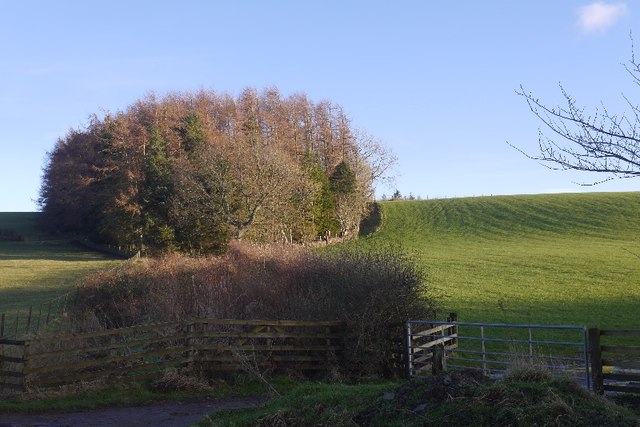
Bluebreeks Plantation is a picturesque woodland located in Roxburghshire, a historic county in the Scottish Borders region of Scotland. Spread over a vast area, this enchanting forest covers approximately 500 acres of land.
The plantation is predominantly composed of native broadleaf trees, including oak, beech, and birch, which create a diverse and rich ecosystem. The woodland is known for its dense canopy, which provides ample shade and shelter for an array of wildlife species. Visitors to Bluebreeks Plantation can expect to encounter a variety of bird species, such as woodpeckers, owls, and thrushes, as well as small mammals like squirrels and badgers.
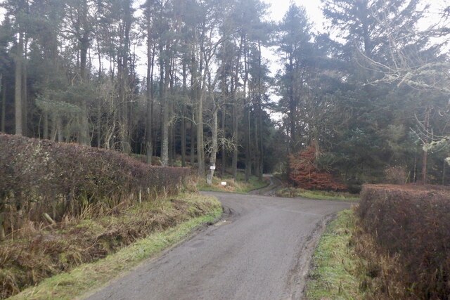
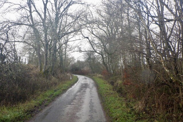
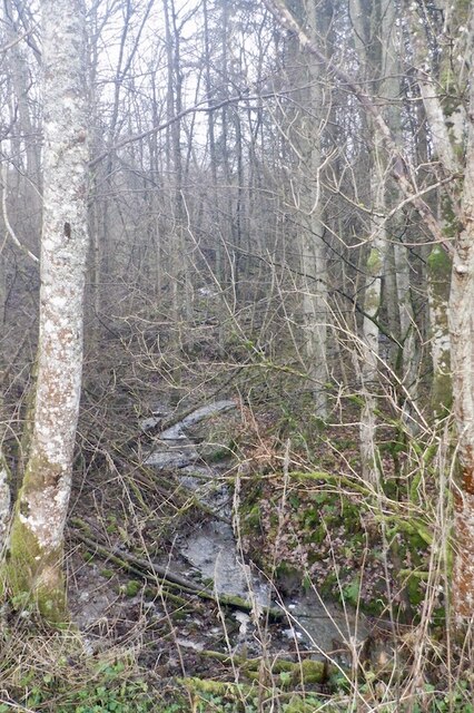
The forest offers numerous walking trails that wind through its tranquil surroundings, allowing visitors to immerse themselves in the beauty of nature. These well-maintained paths provide an opportunity to explore the woodland's hidden treasures, including a charming stream that meanders through the heart of the plantation.
Bluebreeks Plantation also has a rich historical significance. The name "Bluebreeks" is derived from the blue trousers worn by the Covenanters, a group of Scottish Presbyterians who opposed the religious policies of the Stuart monarchy in the 17th century. The Covenanters often sought refuge in the dense woodland, making it a significant location during that era.
Overall, Bluebreeks Plantation is a captivating destination for nature enthusiasts and history buffs alike. Its serene beauty, diverse wildlife, and historical significance make it a must-visit location for anyone exploring the Roxburghshire area.
If you have any feedback on the listing, please let us know in the comments section below.
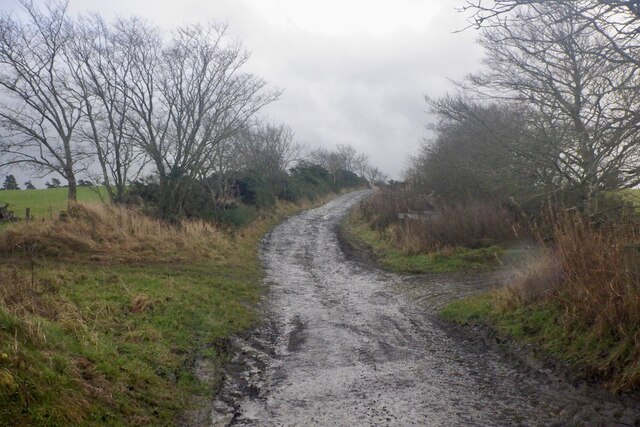
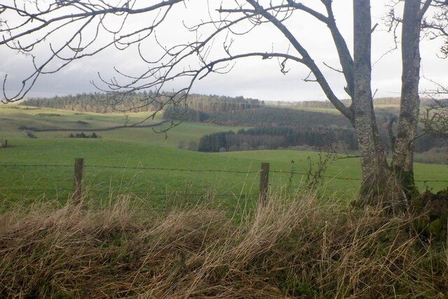
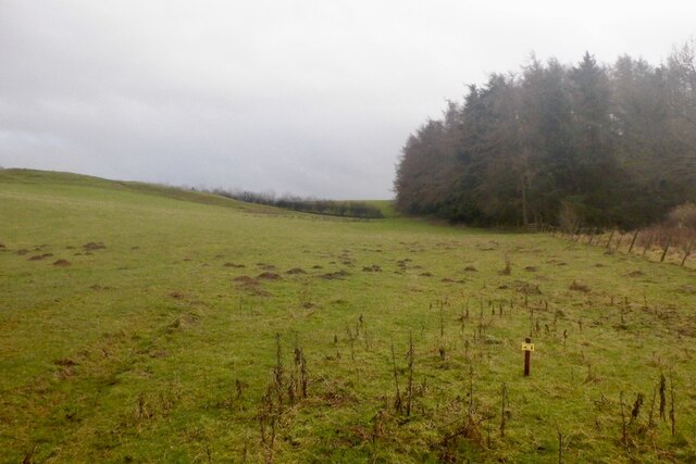
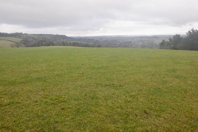
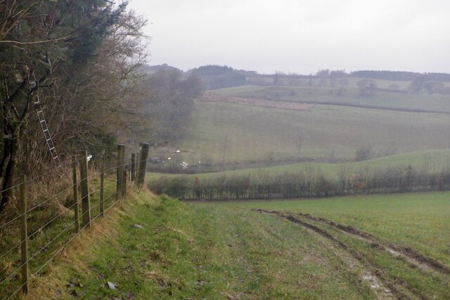
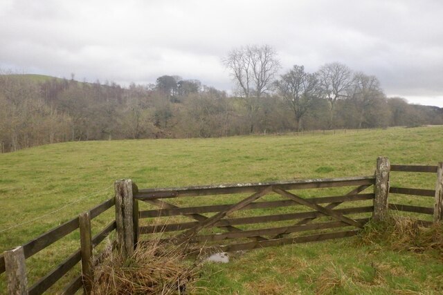
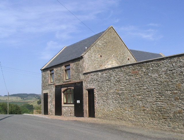
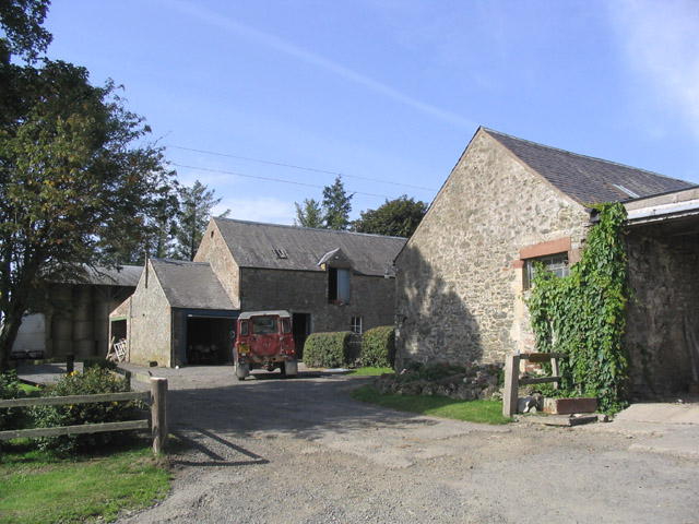
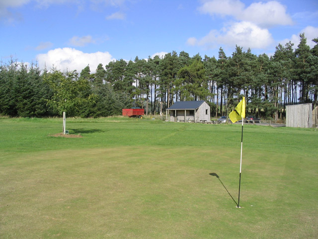
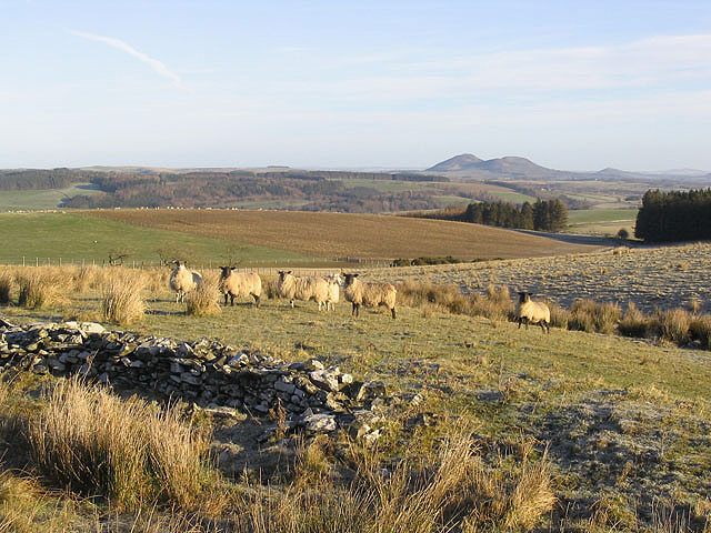
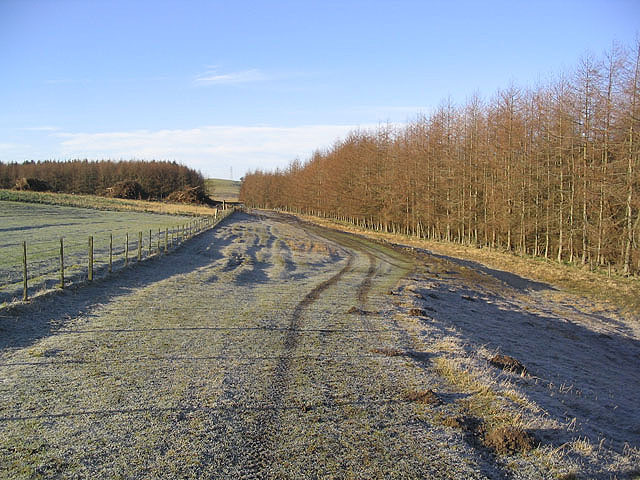
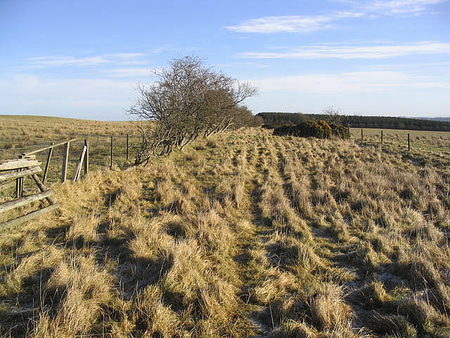
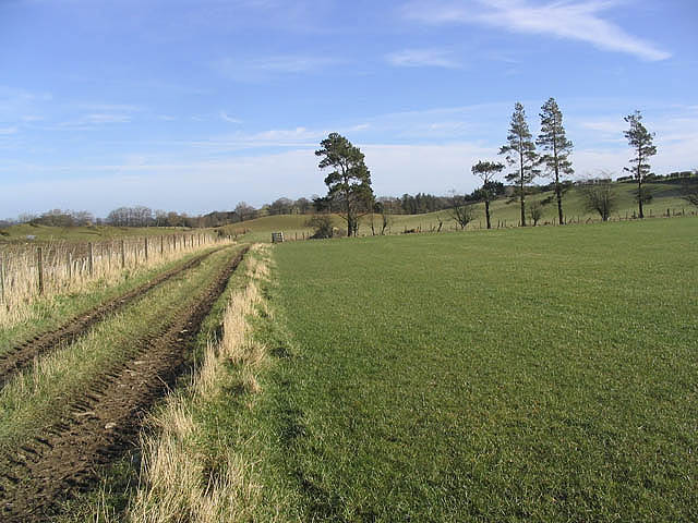
Bluebreeks Plantation Images
Images are sourced within 2km of 55.491449/-2.7953773 or Grid Reference NT4922. Thanks to Geograph Open Source API. All images are credited.

Bluebreeks Plantation is located at Grid Ref: NT4922 (Lat: 55.491449, Lng: -2.7953773)
Unitary Authority: The Scottish Borders
Police Authority: The Lothians and Scottish Borders
What 3 Words
///tinkle.dynamic.tolerable. Near Selkirk, Scottish Borders
Nearby Locations
Related Wikis


Nearby Amenities
Located within 500m of 55.491449,-2.7953773Have you been to Bluebreeks Plantation?
Leave your review of Bluebreeks Plantation below (or comments, questions and feedback).