Deer Park Plantation
Wood, Forest in Banffshire
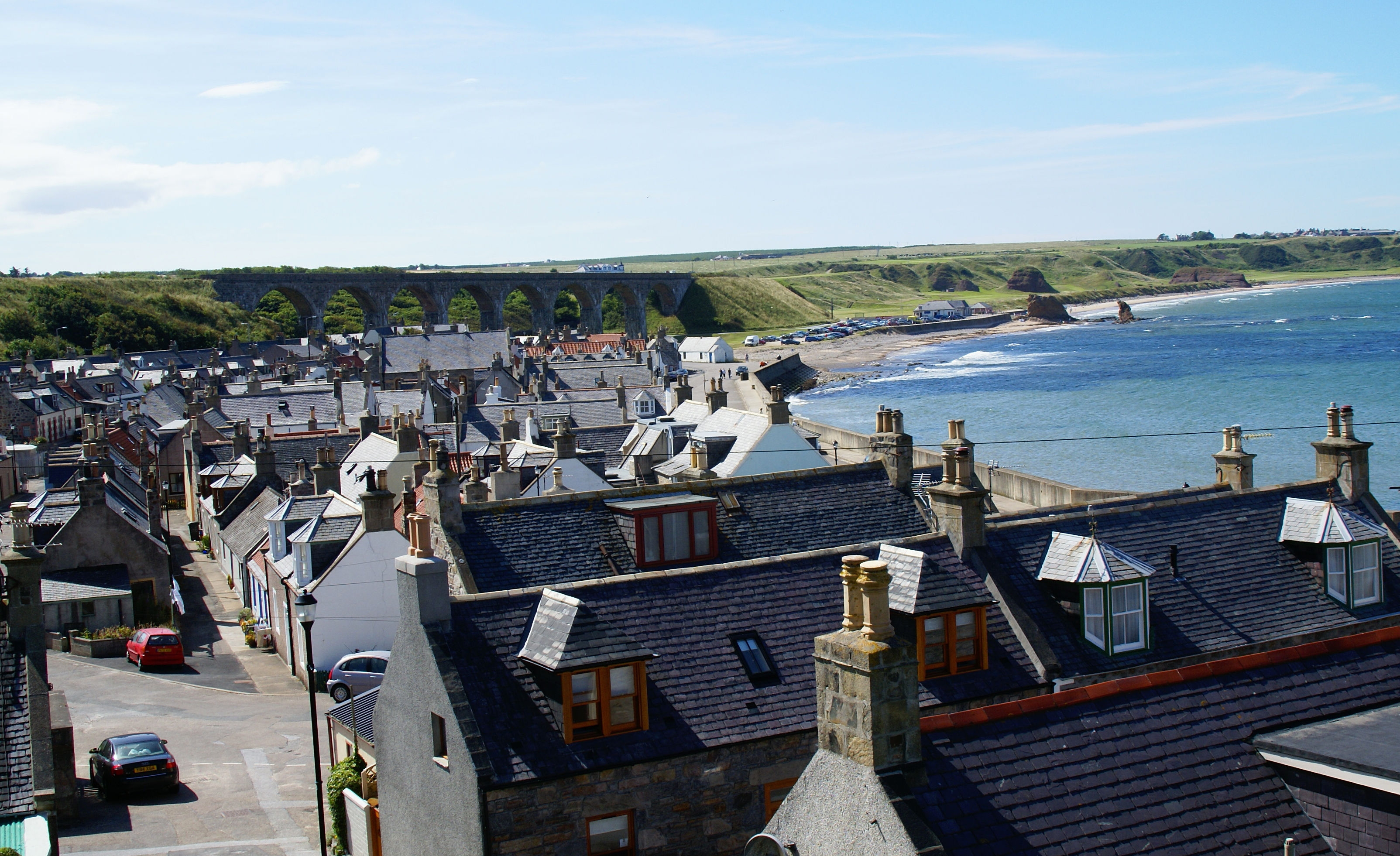
Scotland
Deer Park Plantation
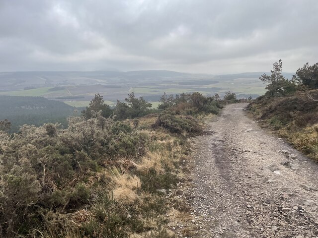
Deer Park Plantation, located in Banffshire, is a stunning woodland area renowned for its natural beauty and rich history. This plantation covers a vast area of land and is primarily composed of dense forests, making it an ideal habitat for various wildlife species, particularly deer.
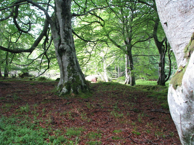
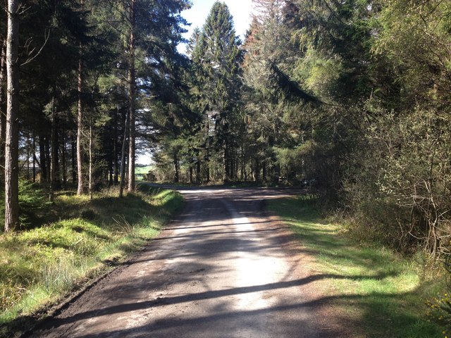
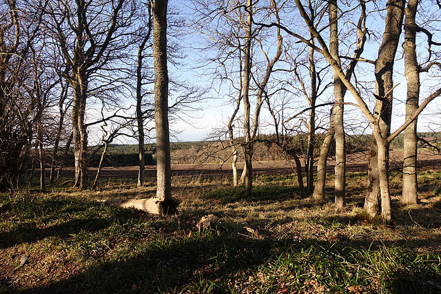
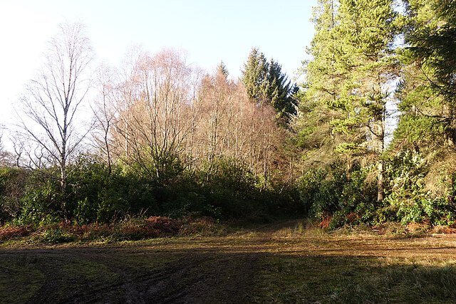
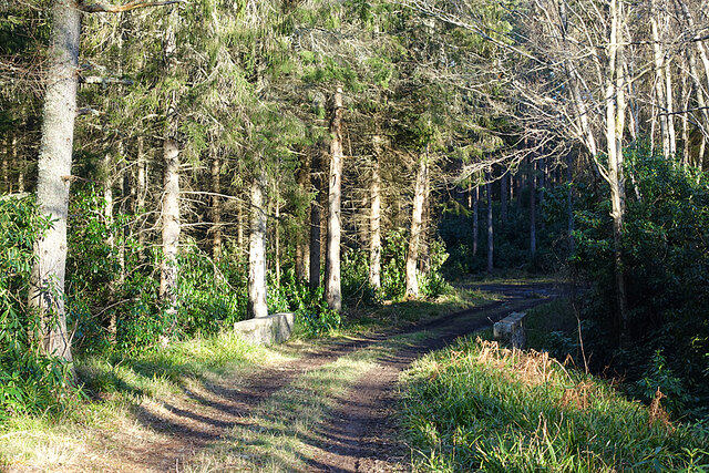
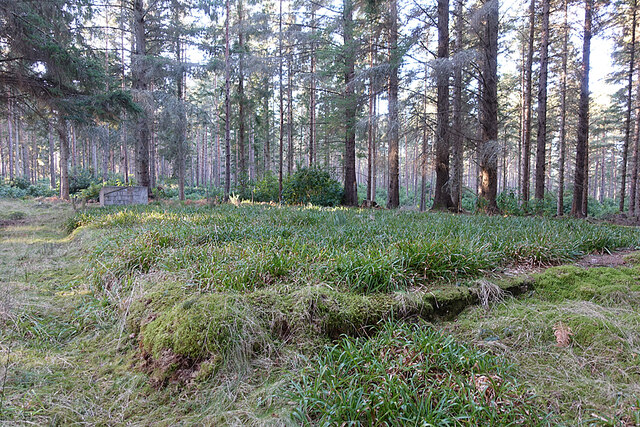
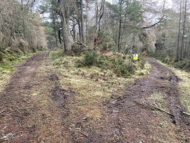
The plantation is characterized by its thick canopy of mature trees, dominated by species such as oak, beech, and pine. These trees provide a tranquil and picturesque environment, making it a popular destination for nature enthusiasts and hikers. The lush undergrowth is filled with a diverse range of flora, including bluebells, wild garlic, and ferns, adding to the plantation's enchanting ambiance.
The area's history is deeply intertwined with the local community, with Deer Park Plantation once serving as a hunting ground for nobles and royalty. The name itself reflects this historical significance, as it was a favored spot for deer hunting. Today, the plantation continues to be managed with the aim of preserving its natural heritage while allowing visitors to enjoy its beauty.
Visitors to Deer Park Plantation can explore the numerous walking trails that wind through the forest, offering panoramic views of the surrounding landscape. The peaceful atmosphere allows for a serene escape from the bustling city life, providing an opportunity to reconnect with nature and appreciate the wonders of the woodland environment.
Overall, Deer Park Plantation is a captivating destination that combines natural splendor with a rich historical narrative. It offers a haven for wildlife, a sanctuary for plants, and an idyllic retreat for those seeking solace in the heart of Banffshire's woodlands.
If you have any feedback on the listing, please let us know in the comments section below.
Deer Park Plantation Images
Images are sourced within 2km of 57.672687/-2.8427744 or Grid Reference NJ4965. Thanks to Geograph Open Source API. All images are credited.


Deer Park Plantation is located at Grid Ref: NJ4965 (Lat: 57.672687, Lng: -2.8427744)
Unitary Authority: Moray
Police Authority: North East
What 3 Words
///fluid.motel.clearcut. Near Cullen, Moray
Related Wikis

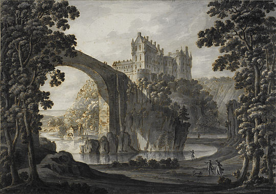
Cullen House
Cullen House is a large house, about 1 kilometre (0.6 mi) south-west of the coastal town of Cullen in Moray, Scotland. It was the seat of the Ogilvies...
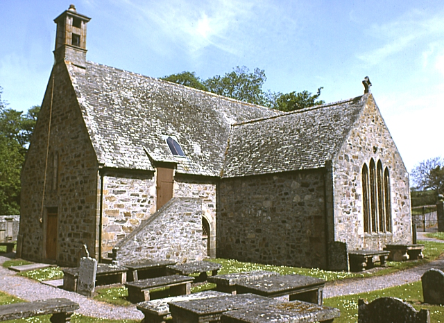
Cullen Old Church
Cullen Old Church (also known as Cullen Auld Kirk) is the parish church for Cullen and Deskford, in Moray. It was originally a part of the Roman Catholic...

Bin of Cullen
Bin of Cullen or Bin Hill (Scottish Gaelic: Am Binnean) is a hill in Moray, Scotland directly inland from Findochty. Bin of Cullen is 320 m in height and...
Cullen Castle
Cullen Castle was a royal castle about 0.5 miles (0.80 km) west of Cullen, Moray, Scotland, west of the burn of Deskford, and south of Seatown. The remains...

Cullen Town Hall
Cullen Town Hall is a municipal building in The Square, Cullen, Moray, Scotland. The structure, which is currently used as a heritage centre, is a Category...
Cullen, Moray
Cullen (Scottish Gaelic: Inbhir Cuilinn) is a village and former royal burgh in Moray but historically in Banffshire, Scotland, on the North Sea coast...

Tochieneal railway station
Tochieneal railway station was a railway station that served the small industrial village of Tochieneal, close to Cullen in Moray. The railway station...

Cullen railway station
Cullen railway station was a railway station that served the small fishing village of Cullen, close to Portknockie in Moray. The railway station was opened...
Have you been to Deer Park Plantation?
Leave your review of Deer Park Plantation below (or comments, questions and feedback).