Curling Pond Plantation
Wood, Forest in Banffshire
Scotland
Curling Pond Plantation
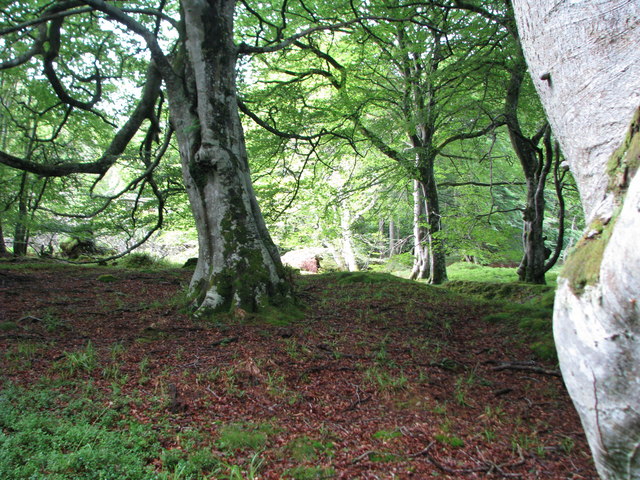
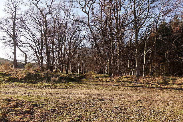
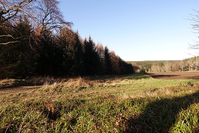
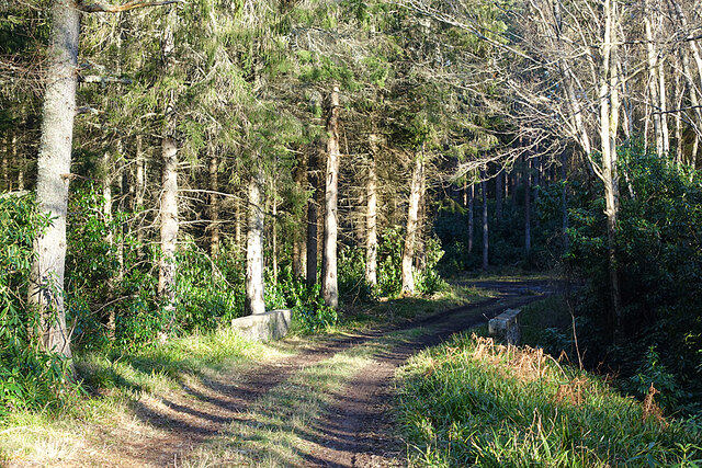
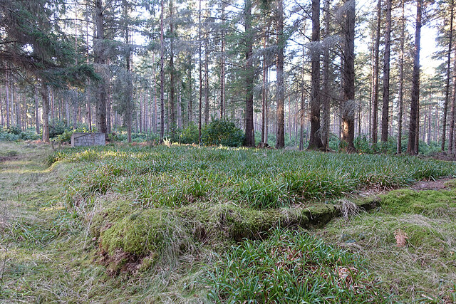
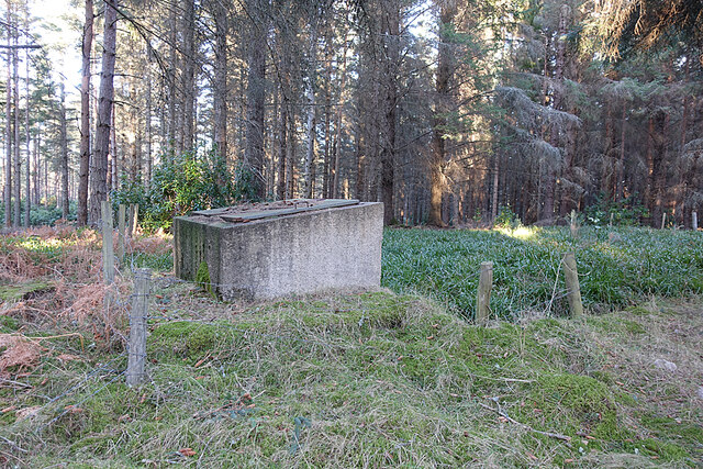
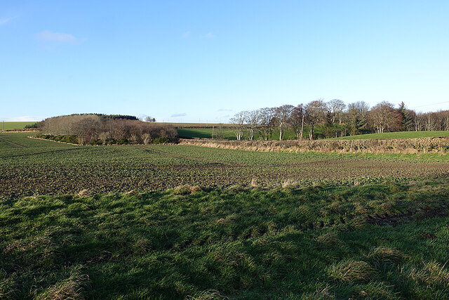
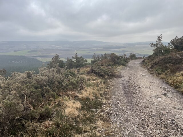
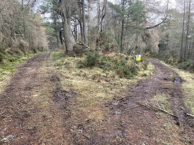
Curling Pond Plantation is a picturesque and expansive woodland located in Banffshire, Scotland. Spread across a sprawling area, it is known for its dense forest cover and a serene ambiance that attracts nature enthusiasts and adventure seekers alike.
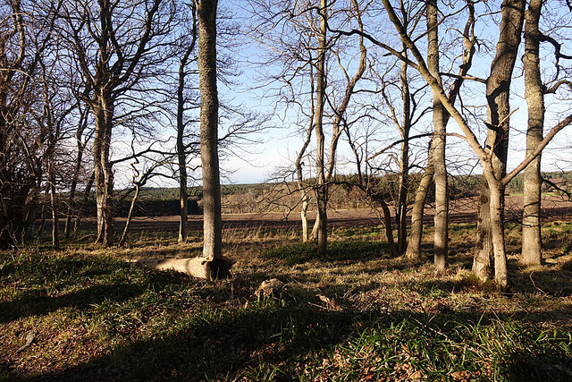
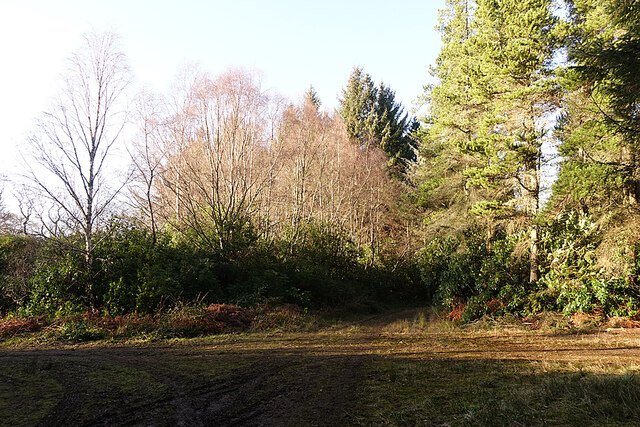
The plantation is predominantly covered with a variety of deciduous and coniferous trees, creating a rich and diverse ecosystem. The towering Scots pines, oak, birch, and beech trees are a common sight, providing a canopy of green and shelter to numerous wildlife species. The forest floor is carpeted with moss, ferns, and wildflowers, adding to the beauty and charm of the area.
Curling Pond Plantation is home to a wide range of wildlife, making it a popular destination for birdwatching and animal spotting. Visitors can spot red squirrels, roe deer, and even the elusive Scottish wildcat if lucky. The plantation is also frequented by a variety of bird species, including woodpeckers, owls, and various songbirds.
The centerpiece of the plantation is its namesake - the curling pond. This man-made pond, created for the traditional Scottish sport of curling, adds a unique touch to the landscape. During winter, when the pond freezes over, it becomes a haven for ice-skaters and curling enthusiasts, adding excitement and recreational opportunities for visitors.
Curling Pond Plantation is a cherished natural gem that offers a peaceful retreat from the hustle and bustle of urban life. Its tranquil surroundings, diverse flora, and fauna, and recreational activities make it a must-visit destination for nature enthusiasts and those seeking a connection with the great outdoors.
If you have any feedback on the listing, please let us know in the comments section below.
Curling Pond Plantation Images
Images are sourced within 2km of 57.674312/-2.8456289 or Grid Reference NJ4965. Thanks to Geograph Open Source API. All images are credited.


Curling Pond Plantation is located at Grid Ref: NJ4965 (Lat: 57.674312, Lng: -2.8456289)
Unitary Authority: Moray
Police Authority: North East
What 3 Words
///dreamers.inclines.profited. Near Cullen, Moray
Related Wikis

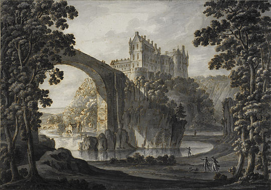
Cullen House
Cullen House is a large house, about 1 kilometre (0.6 mi) south-west of the coastal town of Cullen in Moray, Scotland. It was the seat of the Ogilvies...
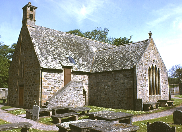
Cullen Old Church
Cullen Old Church (also known as Cullen Auld Kirk) is the parish church for Cullen and Deskford, in Moray. It was originally a part of the Roman Catholic...

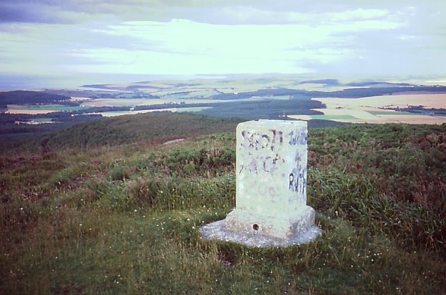
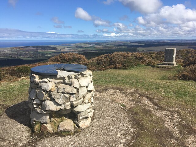
Bin of Cullen
Bin of Cullen or Bin Hill (Scottish Gaelic: Am Binnean) is a hill in Moray, Scotland directly inland from Findochty. Bin of Cullen is 320 m in height and...
Cullen Castle
Cullen Castle was a royal castle about 0.5 miles (0.80 km) west of Cullen, Moray, Scotland, west of the burn of Deskford, and south of Seatown. The remains...
Have you been to Curling Pond Plantation?
Leave your review of Curling Pond Plantation below (or comments, questions and feedback).