Backies Plantation

Wood, Forest in Banffshire

Scotland

Backies Plantation

Minor road approaching Lower Broadrashes Looking north-eastward.
Minor road approaching Lower Broadrashes Credit: Peter Wood

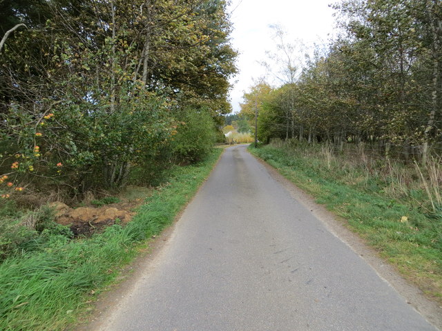
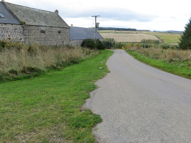
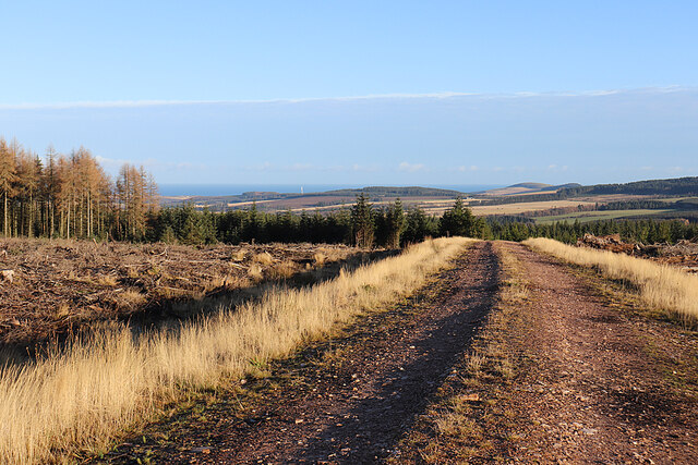
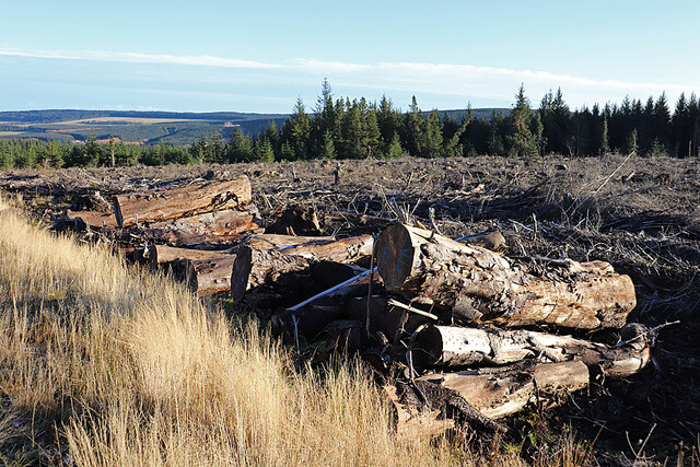
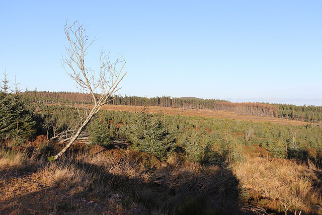
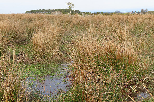
Backies Plantation is a sprawling woodland located in Banffshire, Scotland. Covering a vast area of approximately 500 acres, this plantation is renowned for its dense forest and diverse range of plant species. Situated in a picturesque setting, Backies Plantation offers visitors a tranquil escape into nature.

The woodland consists primarily of native Scottish species such as oak, birch, and pine trees, creating a rich and vibrant ecosystem. The dense canopy provides a habitat for numerous bird species, including woodpeckers and owls, making it a popular spot for birdwatchers. The forest floor is carpeted with a variety of wildflowers, mosses, and ferns, contributing to the area's natural beauty.

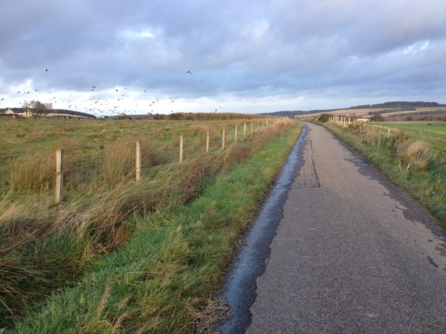
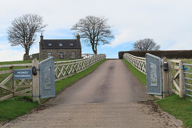
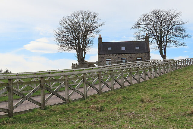
Backies Plantation offers several walking trails, allowing visitors to explore the woodland at their own pace. These trails range from leisurely strolls to more challenging hikes, catering to all levels of fitness and experience. Along the paths, visitors can discover hidden streams, small waterfalls, and even ancient ruins, adding a touch of history to the natural landscape.

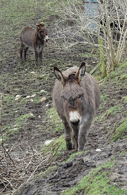
The plantation is also home to a diverse array of wildlife, including red squirrels, deer, and foxes. Nature enthusiasts can often spot these animals while wandering through the woodland, adding an element of excitement to their visit.

Overall, Backies Plantation in Banffshire is a haven for nature lovers, offering a unique opportunity to immerse oneself in the beauty of Scotland's woodlands. Whether it's a peaceful walk, birdwatching, or wildlife spotting, this plantation provides a memorable experience for all who venture into its serene surroundings.

If you have any feedback on the listing, please let us know in the comments section below.

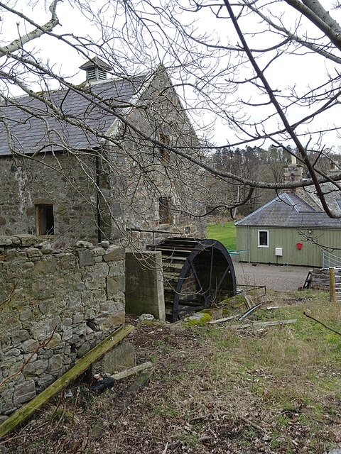
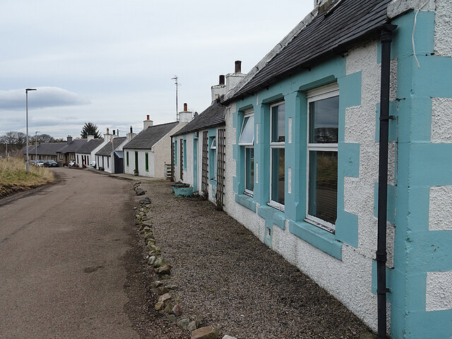
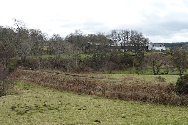
Backies Plantation Images

Images are sourced within 2km of 57.618691/-2.8442858 or Grid Reference NJ4959. Thanks to Geograph Open Source API. All images are credited.

Minor road approaching Lower Broadrashes Looking north-eastward.
Minor road approaching Lower Broadrashes
Looking north-eastward.
Minor road at Mid Skeith Looking north-westward.
Minor road at Mid Skeith
Looking north-westward.
Aultmorehill The road across a felled area on Aultmorehill enjoys a fine view down towards the sea. The rounded hill on the right is Durn Hill near Portsoy.
Aultmorehill
The road across a felled area on Aultmorehill enjoys a fine view down towards the sea. The rounded hill on the right is Durn Hill near Portsoy.
Large Logs Large they may be, but I suspect the reason they are still here is because they are too thick, too short, too knotty and not straight enough to appeal to a sawmill.
Large Logs
Large they may be, but I suspect the reason they are still here is because they are too thick, too short, too knotty and not straight enough to appeal to a sawmill.
Aultmorehill Wood The forest looks as if it has been left to regenerate naturally here. There's a glimpse of the Bin of Cullen above the trees on the skyline.
Aultmorehill Wood
The forest looks as if it has been left to regenerate naturally here. There's a glimpse of the Bin of Cullen above the trees on the skyline.
Minor road near Swailend
Farm track to Aulmore Lodge Looking southward.
Farm track to Aulmore Lodge
Looking southward.
Minor road at Blackhillock Looking north-eastward. Blackhillock is now just a name on the map - any buildings have disappeared.
Minor road at Blackhillock
Looking north-eastward. Blackhillock is now just a name on the map - any buildings have disappeared.
Corn Mill The former corn mill is shown on the first edition of the Ordnance Survey six-inch map. It dates from the early 19th century and is a Category C Listed building.
Corn Mill
The former corn mill is shown on the first edition of the Ordnance Survey six-inch map. It dates from the early 19th century and is a Category C Listed building.
Mill Lead The lead or lade channelled the water from the mill dam not far away to power the mill wheel.
Mill Lead
The lead or lade channelled the water from the mill dam not far away to power the mill wheel.
Mill Wheel The overshot wheel still survives on the end gable of the old corn mill. Historic Environment Scotland notes that it is 'in poor condition'. See <span class="nowrap"><a title="https://canmore.org.uk/site/95709/berryhillock-mill" rel="nofollow ugc noopener" href="https://canmore.org.uk/site/95709/berryhillock-mill">Link</a><img style="margin-left:2px;" alt="External link" title="External link - shift click to open in new window" src="https://s1.geograph.org.uk/img/external.png" width="10" height="10"/></span> for more information.
Mill Wheel
The overshot wheel still survives on the end gable of the old corn mill. Historic Environment Scotland notes that it is 'in poor condition'. See LinkExternal link for more information.
Berryhillock The street that makes up Berryhillock is a conservation area. Compare this with <a href="https://www.geograph.org.uk/photo/3532774">NJ5060 : Berryhillock</a>, taken eight years ago, and <a href="https://www.geograph.org.uk/photo/1723051">NJ5060 : Berryhillock</a>, taken eleven years ago.
Berryhillock
The street that makes up Berryhillock is a conservation area. Compare this with NJ5060 : Berryhillock, taken eight years ago, and NJ5060 : Berryhillock, taken eleven years ago.
Coming to Say Hello Two of the three donkeys in this field came over to take a look at us. The third one was already right beside the fence when we arrived, too close to photograph.
Coming to Say Hello
Two of the three donkeys in this field came over to take a look at us. The third one was already right beside the fence when we arrived, too close to photograph.
Mains of Skeith The farm at Mains of Skeith is reached by a causeway across what may have been rather wet ground.
Mains of Skeith
The farm at Mains of Skeith is reached by a causeway across what may have been rather wet ground.
Upper Braeside You can just about make out the remains of a gable poking up among the rushes. I had intended to go and get a closer view - until I saw the state of the ground inside the field.
Upper Braeside
You can just about make out the remains of a gable poking up among the rushes. I had intended to go and get a closer view - until I saw the state of the ground inside the field.
Pickwick Performance The sign on the gate draws attention to a car sales business operating from here. see <span class="nowrap"><a title="https://www.pickwickperformance.co.uk/" rel="nofollow ugc noopener" href="https://www.pickwickperformance.co.uk/">Link</a><img style="margin-left:2px;" alt="External link" title="External link - shift click to open in new window" src="https://s1.geograph.org.uk/img/external.png" width="10" height="10"/></span> for details.
Pickwick Performance
The sign on the gate draws attention to a car sales business operating from here. see LinkExternal link for details.
Fancy Fence The fence along the driveway into Braeside is quite eye-catching.
Fancy Fence
The fence along the driveway into Braeside is quite eye-catching.
Lower Broadrashes near Deskford Houses at Lower Broadrashes.
Lower Broadrashes near Deskford
Houses at Lower Broadrashes.
Show me another place!

Backies Plantation is located at Grid Ref: NJ4959 (Lat: 57.618691, Lng: -2.8442858)

Unitary Authority: Moray

Police Authority: North East

What 3 Words

///behalf.warrior.winds. Near Cullen, Moray

Nearby Locations

Backies Plantation

Related Wikis

Deskford Tower

Tower of Deskford was a 14th-century tower house, about 3.5 miles (5.6 km) south of Cullen, Moray, Scotland at Deskford, west of the burn. The tower and...

Deskford

Deskford (Scottish Gaelic: Deasgard) is a parish and a small settlement in Moray, Scotland, formerly in Banffshire. A number of significant historical...

Battle of Bauds

Battle of Bauds was a battle fought in 962 in an area known as the Bauds, south of Findochty and west of Cullen near Portknockie, Scotland between Scotland...

Foudland Hills

The Foudland Hills is a mountain range in the northeast of Aberdeenshire, Scotland and northwest of Morayshire. The Foudland Hills are a prominent feature...

Bin of Cullen

Bin of Cullen or Bin Hill (Scottish Gaelic: Am Binnean) is a hill in Moray, Scotland directly inland from Findochty. Bin of Cullen is 320 m in height and...

Letterfourie House

Letterfourie House is a Georgian house in Moray, built by Robert Adam and completed in 1773. Its main block has three main storeys, with a raised cellar...

Craigmin Bridge

Craigmin Bridge is an eighteenth century bridge within the grounds of Letterfourie House, in Moray, Scotland. Spanning the Burn of Letterfourie, it once...

Tochieneal railway station

Tochieneal railway station was a railway station that served the small industrial village of Tochieneal, close to Cullen in Moray. The railway station...

Nearby Amenities

Located within 500m of 57.618691,-2.8442858
Power: pole
Lat/Long: 57.6168579/-2.8516763
Power: pole
Lat/Long: 57.6177356/-2.8509387
Power: pole
Lat/Long: 57.6186162/-2.8502414
Power: pole
Lat/Long: 57.6195585/-2.8494555
Power: pole
Lat/Long: 57.62036/-2.8488091
Power: pole
Lat/Long: 57.6212922/-2.8480527
Power: pole
Lat/Long: 57.622223/-2.8475055
Power: tower
Lat/Long: 57.6188679/-2.8521013
Power: tower
Lat/Long: 57.6214775/-2.8504228
Power: pole
Lat/Long: 57.6148022/-2.8459136
Power: pole
Lat/Long: 57.6153706/-2.8454673
Power: pole
Lat/Long: 57.6159653/-2.8449965
Power: pole
Lat/Long: 57.6165073/-2.8445595
Power: pole
Lat/Long: 57.6172038/-2.844012
Power: pole
Lat/Long: 57.6178083/-2.8435336
Power: pole
Lat/Long: 57.6182986/-2.8425046
Power: pole
Lat/Long: 57.6185992/-2.8418697
Power: pole
Lat/Long: 57.6189039/-2.8412149
Power: pole
Lat/Long: 57.6192184/-2.8405678
Power: pole
Lat/Long: 57.619551/-2.8398961
Power: pole
Lat/Long: 57.6198163/-2.8393165
Power: pole
Lat/Long: 57.6200856/-2.8387414
Power: pole
Lat/Long: 57.6204174/-2.8380575
Power: pole
Lat/Long: 57.6207352/-2.8374333
Ford: yes
Lat/Long: 57.6207428/-2.8407135
The data included in this document is from www.openstreetmap.org. The data is made available under ODbL.

Have you been to Backies Plantation?

Leave your review of Backies Plantation below (or comments, questions and feedback).