Acreknowe Strip

Wood, Forest in Roxburghshire

Scotland

Acreknowe Strip

Grazing lands near Winningtonrig in Roxburghshire
Grazing lands near Winningtonrig in Roxburghshire Credit: James Denham

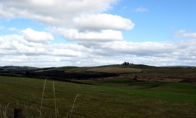
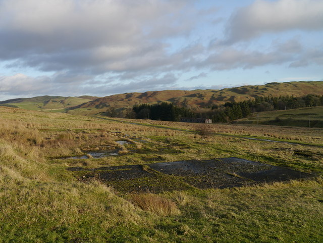
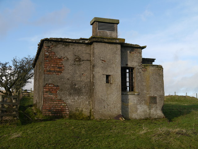
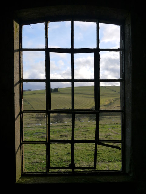
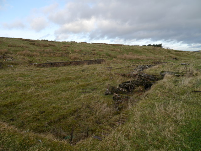
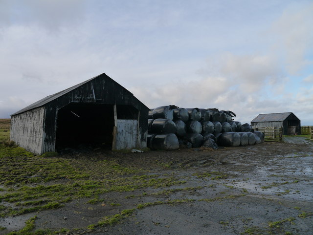
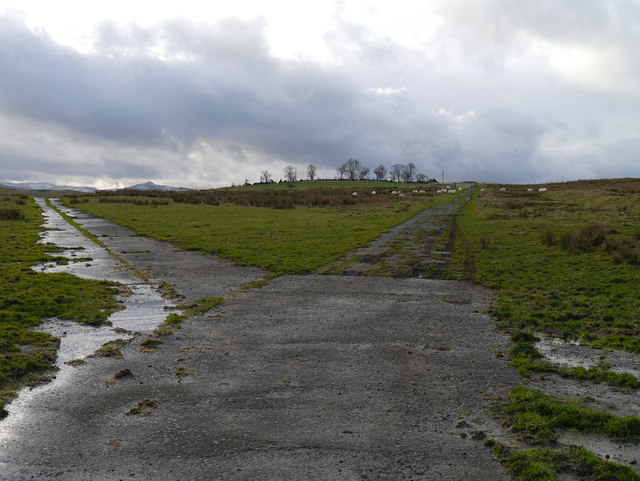
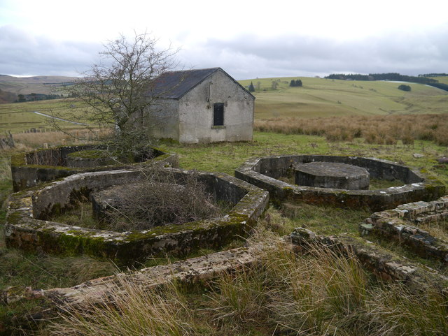
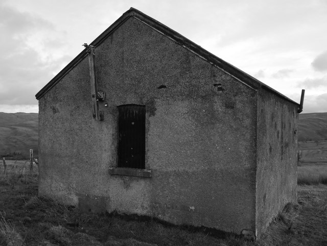
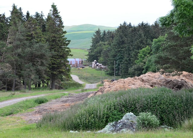
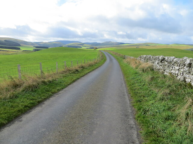
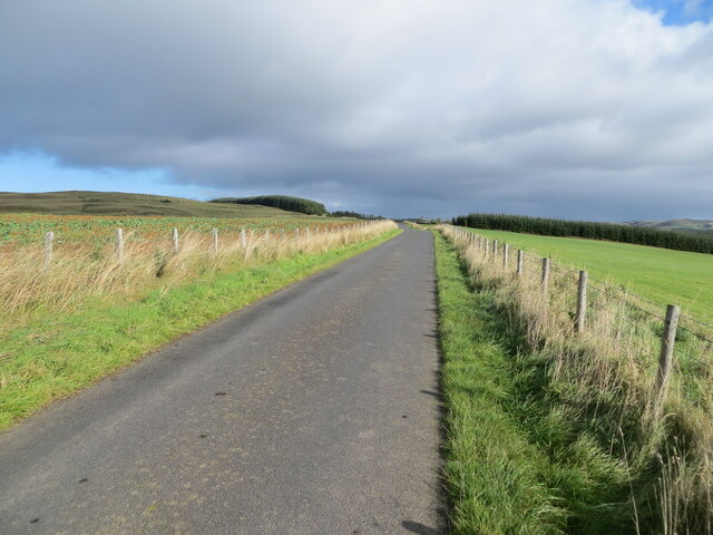
Acreknowe Strip is a picturesque woodland area located in Roxburghshire, Scotland. It is situated near the village of Hawick and covers a vast expanse of approximately 200 acres. The strip is a part of the larger Acreknowe Forest, which is known for its diverse and abundant flora and fauna.

The woodland is predominantly composed of native tree species, including oak, birch, and rowan. These trees create a dense canopy that provides shelter and habitat for a wide range of wildlife, such as red squirrels, roe deer, and various bird species. The forest floor is adorned with an array of wildflowers and ferns, adding to the area's natural beauty.

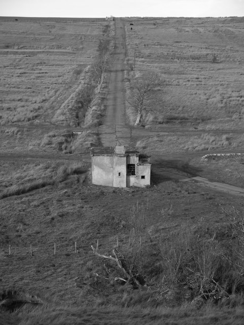
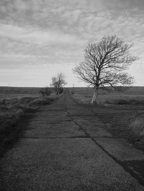
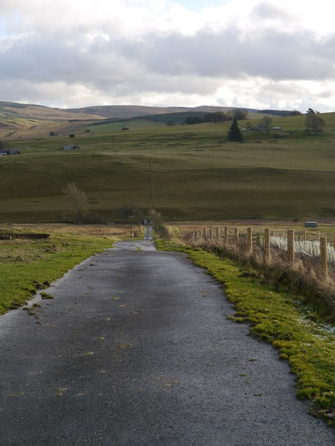
Acreknowe Strip offers numerous walking trails and paths, making it a popular destination for outdoor enthusiasts and nature lovers. The well-maintained trails allow visitors to explore the forest at their own pace, immersing themselves in the tranquil surroundings. Acreknowe Strip is also home to a number of picnic areas, providing visitors with the perfect spot to relax and enjoy a meal amidst the serenity of the forest.

The strip is easily accessible, with ample parking available for visitors. It is a place where one can escape the hustle and bustle of everyday life and reconnect with nature. Whether it is a leisurely stroll through the woods or a more challenging hike, Acreknowe Strip offers something for everyone, making it a must-visit destination for those seeking a peaceful and rejuvenating experience in the heart of Roxburghshire.

If you have any feedback on the listing, please let us know in the comments section below.

Acreknowe Strip Images

Images are sourced within 2km of 55.383133/-2.795569 or Grid Reference NT4910. Thanks to Geograph Open Source API. All images are credited.

Grazing lands near Winningtonrig in Roxburghshire
A View Across Stobs Camp Viewed from a ridge over the Barnes Burn, this small equipment drying building was adjacent to the 'bathing pond' - now occupied by scrub and reeds, the periphery of which can be noted to the bottom right.

For a close up of the building, see <a href="https://www.geograph.org.uk/photo/3752223">NT5009 : Near Stobs Camp Bathing Pond</a>
A View Across Stobs Camp
Viewed from a ridge over the Barnes Burn, this small equipment drying building was adjacent to the 'bathing pond' - now occupied by scrub and reeds, the periphery of which can be noted to the bottom right. For a close up of the building, see NT5009 : Near Stobs Camp Bathing Pond
Access Road At Stobs Camp A bleak place, once a hive of military activity.
Access Road At Stobs Camp
A bleak place, once a hive of military activity.
A View Across Stobs Camp A view across the camp site, with concrete foundations prominent in the foreground.
A View Across Stobs Camp
A view across the camp site, with concrete foundations prominent in the foreground.
Drying Building One of two remaining equipment drying buildings at the former camp site.
Drying Building
One of two remaining equipment drying buildings at the former camp site.
A Window With A View A view out of a drying building window across the remains of the camp site.  For an external view of the building, see <a href="https://www.geograph.org.uk/photo/3789565">NT4909 : Drying Building</a>
A Window With A View
A view out of a drying building window across the remains of the camp site. For an external view of the building, see NT4909 : Drying Building
Building Foundations A set of brick and concrete foundations, just one of many at the former camp site.
Building Foundations
A set of brick and concrete foundations, just one of many at the former camp site.
Road In Stobs Camp This tarmac road provides access to Winningtonrig Farm, above the camp site.
Road In Stobs Camp
This tarmac road provides access to Winningtonrig Farm, above the camp site.
Storage At Stobs Probable camp buildings now utilised as farm storage at the top of the former Stobs Camp site.
Storage At Stobs
Probable camp buildings now utilised as farm storage at the top of the former Stobs Camp site.
A Meeting Of Two Roads A junction at the top of the Stobs Camp site.
A Meeting Of Two Roads
A junction at the top of the Stobs Camp site.
Tanks At Stobs Camp Three octagonal tanks and several rectangular tanks remain near the top of the site: it is unclear what these tanks contained.
Tanks At Stobs Camp
Three octagonal tanks and several rectangular tanks remain near the top of the site: it is unclear what these tanks contained.
Derelict Building At Stobs Camp Located next to some tanks near the top of the site, the function of this building is unknown.
Derelict Building At Stobs Camp
Located next to some tanks near the top of the site, the function of this building is unknown.
Track on Newton Hill The track up from Barns passes through shelter belts here.
Track on Newton Hill
The track up from Barns passes through shelter belts here.
The Breached Dam Of New Reservoir The breach in the earthen dam wall and standing behind, the remains of the filter building.  In the foreground, the Barnes Burn can be noted.
The Breached Dam Of New Reservoir
The breach in the earthen dam wall and standing behind, the remains of the filter building. In the foreground, the Barnes Burn can be noted.
Filter House Remains, New Reservoir Long since redundant, the filter house stands proud above the breached earthen dam wall.
Filter House Remains, New Reservoir
Long since redundant, the filter house stands proud above the breached earthen dam wall.
The Route Of The Barnes Burn Looking down the Barnes Burn towards the site of Stobs Camp.
The Route Of The Barnes Burn
Looking down the Barnes Burn towards the site of Stobs Camp.
Wall and fence enclosed minor road near to Auld Ca-knowe Looking south-westward.
Wall and fence enclosed minor road near to Auld Ca-knowe
Looking south-westward.
Fence enclosed minor road near to Lord's Tree Looking north-eastward.
Fence enclosed minor road near to Lord's Tree
Looking north-eastward.
Show me another place!

Acreknowe Strip is located at Grid Ref: NT4910 (Lat: 55.383133, Lng: -2.795569)

Unitary Authority: The Scottish Borders

Police Authority: The Lothians and Scottish Borders

What 3 Words

///captions.cleanser.chat. Near Hawick, Scottish Borders

Related Wikis

Stobs Military Camp

Stobs Camp is a military and internment camp located just outside Hawick in the Scottish Borders. It is an internationally important site due to its level...

Stobs railway station

Stobs railway station served the hamlet of Barnes, Scottish Borders, Scotland from 1862 to 1969 on the Border Union Railway. == History == The station...

Branxholme

Branxholme is a hamlet in the Scottish Borders area of Scotland, overlooking the River Teviot, three miles southwest of Hawick, on the A7 road to Langholm...

Branxholme Castle

Branxholme Castle is a five-storey tower at Branxholme, about 3 miles south-west of Hawick in the Borders region of Scotland. == History == The present...

Slitrig Water

Slitrig Water (archaic Scots: Slitterick Waiter; current Southern Scots: Slitrig Witter), also known as the River Slitrig, is a river in the Scottish Borders...

Hawick Cottage Hospital

Hawick Cottage Hospital was a health facility at Buccleuch Road in Hawick, Scotland. It was managed by NHS Borders. It is a Category B listed building...

Newmill-on-Teviot

Newmill-on-Teviot, commonly called Newmill, is a hamlet in the Scottish Borders, 7 kilometres (4.3 mi) south of Hawick on the River Teviot. The remains...

Hawick High School

Hawick High School is a non-denominational secondary school in Hawick, in the Scottish Borders. As well as serving the town, it also takes in pupils from...

Nearby Amenities

Located within 500m of 55.383133,-2.795569
Power: pole
Lat/Long: 55.3849316/-2.78831
Power: pole
Lat/Long: 55.3852548/-2.7891984
Power: pole
Lat/Long: 55.3855898/-2.7900559
Power: pole
Lat/Long: 55.3859175/-2.7909365
Power: pole
Lat/Long: 55.3861208/-2.7914979
Power: pole
Lat/Long: 55.3864396/-2.7923399
Power: pole
Lat/Long: 55.3867292/-2.7931072
Power: pole
Lat/Long: 55.3871593/-2.7936351
The data included in this document is from www.openstreetmap.org. The data is made available under ODbL.

Have you been to Acreknowe Strip?

Leave your review of Acreknowe Strip below (or comments, questions and feedback).