Acreknowe Reservoir

Lake, Pool, Pond, Freshwater Marsh in Roxburghshire

Scotland

Acreknowe Reservoir

Grazing lands near Winningtonrig in Roxburghshire
Grazing lands near Winningtonrig in Roxburghshire Credit: James Denham

Acreknowe Reservoir is a freshwater lake located in Roxburghshire, Scotland. With a surface area of about 15 hectares, it serves as a significant water source for the surrounding area. The reservoir was originally constructed in the late 19th century to meet the increasing water demand of the nearby town of Hawick.

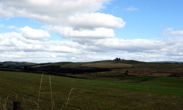
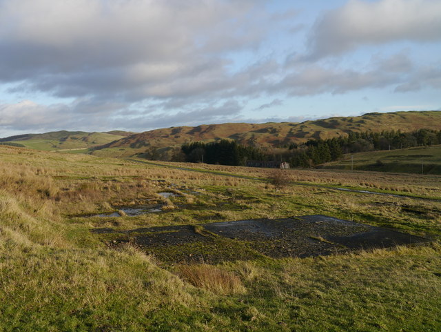
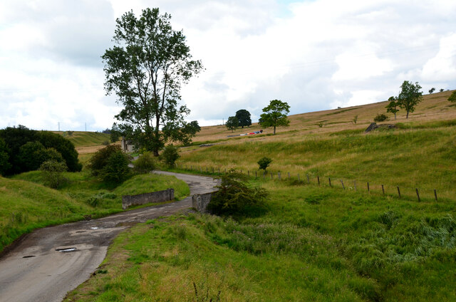
The lake is nestled in a picturesque valley, surrounded by rolling hills and lush greenery. It is fed by several small streams, which flow into the reservoir, ensuring a constant water supply. Acreknowe Reservoir is primarily used for water storage, but it also provides recreational opportunities for locals and visitors alike.

The calm waters of the reservoir make it a popular spot for fishing enthusiasts. It is home to a variety of fish species, including trout and perch, making it an ideal location for both fly and coarse fishing. Anglers can be seen casting their lines from the banks or from small fishing boats that can be rented nearby.

In addition to fishing, Acreknowe Reservoir offers stunning views and peaceful surroundings, attracting nature lovers and birdwatchers. The area surrounding the lake is teeming with wildlife, including various bird species such as herons, swans, and ducks. Visitors can enjoy leisurely walks along the reservoir's perimeter, taking in the natural beauty and tranquility of the surroundings.

Overall, Acreknowe Reservoir is a valuable water resource for the local community, while also providing a serene and picturesque setting for recreational activities.

If you have any feedback on the listing, please let us know in the comments section below.

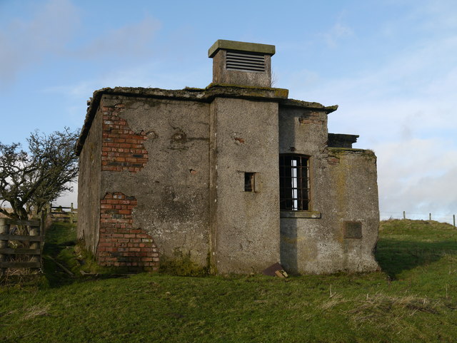
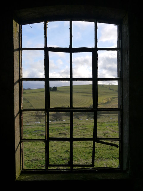
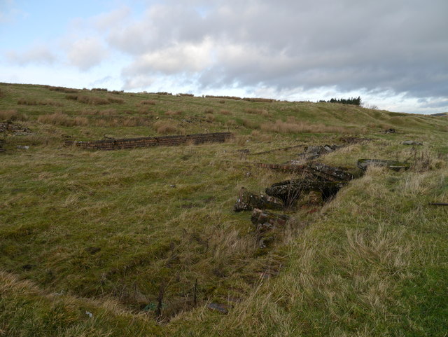
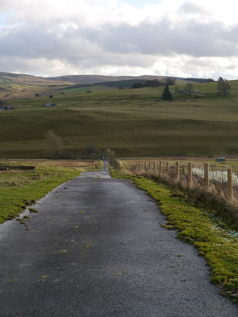
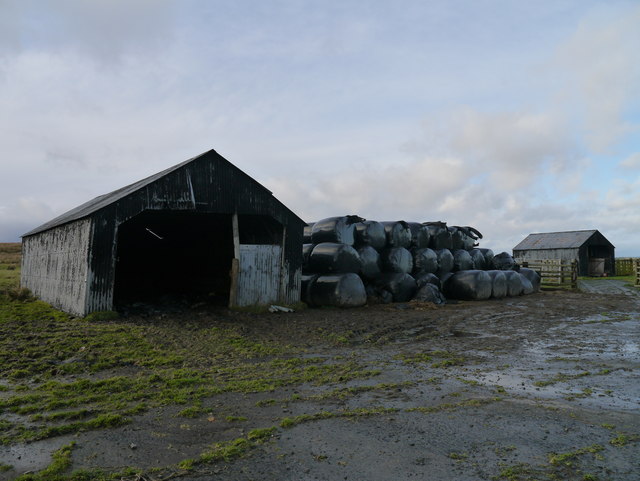
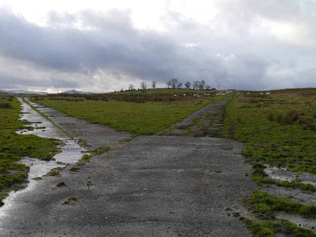
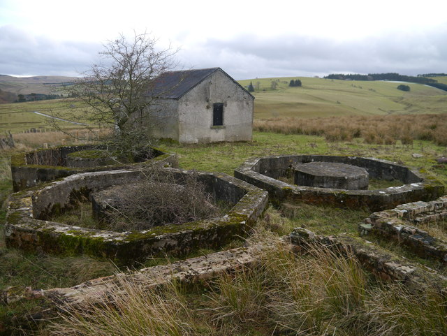
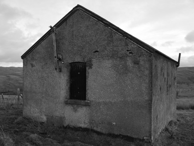
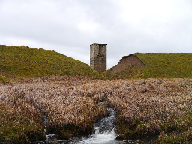
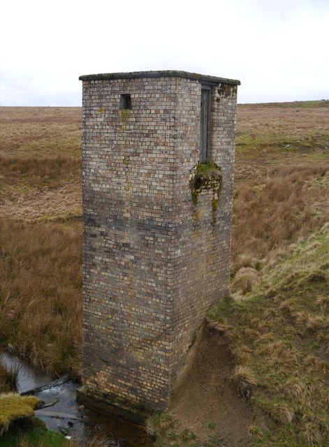
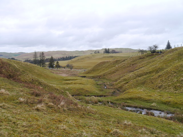
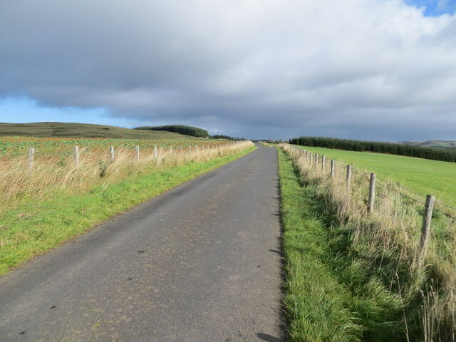
Acreknowe Reservoir Images

Images are sourced within 2km of 55.38722/-2.7984766 or Grid Reference NT4910. Thanks to Geograph Open Source API. All images are credited.

Grazing lands near Winningtonrig in Roxburghshire
A View Across Stobs Camp Viewed from a ridge over the Barnes Burn, this small equipment drying building was adjacent to the 'bathing pond' - now occupied by scrub and reeds, the periphery of which can be noted to the bottom right.

For a close up of the building, see <a href="https://www.geograph.org.uk/photo/3752223">NT5009 : Near Stobs Camp Bathing Pond</a>
A View Across Stobs Camp
Viewed from a ridge over the Barnes Burn, this small equipment drying building was adjacent to the 'bathing pond' - now occupied by scrub and reeds, the periphery of which can be noted to the bottom right. For a close up of the building, see NT5009 : Near Stobs Camp Bathing Pond
Access Road At Stobs Camp A bleak place, once a hive of military activity.
Access Road At Stobs Camp
A bleak place, once a hive of military activity.
A View Across Stobs Camp A view across the camp site, with concrete foundations prominent in the foreground.
A View Across Stobs Camp
A view across the camp site, with concrete foundations prominent in the foreground.
Drying Building One of two remaining equipment drying buildings at the former camp site.
Drying Building
One of two remaining equipment drying buildings at the former camp site.
A Window With A View A view out of a drying building window across the remains of the camp site.  For an external view of the building, see <a href="https://www.geograph.org.uk/photo/3789565">NT4909 : Drying Building</a>
A Window With A View
A view out of a drying building window across the remains of the camp site. For an external view of the building, see NT4909 : Drying Building
Building Foundations A set of brick and concrete foundations, just one of many at the former camp site.
Building Foundations
A set of brick and concrete foundations, just one of many at the former camp site.
Road In Stobs Camp This tarmac road provides access to Winningtonrig Farm, above the camp site.
Road In Stobs Camp
This tarmac road provides access to Winningtonrig Farm, above the camp site.
Storage At Stobs Probable camp buildings now utilised as farm storage at the top of the former Stobs Camp site.
Storage At Stobs
Probable camp buildings now utilised as farm storage at the top of the former Stobs Camp site.
A Meeting Of Two Roads A junction at the top of the Stobs Camp site.
A Meeting Of Two Roads
A junction at the top of the Stobs Camp site.
Tanks At Stobs Camp Three octagonal tanks and several rectangular tanks remain near the top of the site: it is unclear what these tanks contained.
Tanks At Stobs Camp
Three octagonal tanks and several rectangular tanks remain near the top of the site: it is unclear what these tanks contained.
Derelict Building At Stobs Camp Located next to some tanks near the top of the site, the function of this building is unknown.
Derelict Building At Stobs Camp
Located next to some tanks near the top of the site, the function of this building is unknown.
The Breached Dam Of New Reservoir The breach in the earthen dam wall and standing behind, the remains of the filter building.  In the foreground, the Barnes Burn can be noted.
The Breached Dam Of New Reservoir
The breach in the earthen dam wall and standing behind, the remains of the filter building. In the foreground, the Barnes Burn can be noted.
Filter House Remains, New Reservoir Long since redundant, the filter house stands proud above the breached earthen dam wall.
Filter House Remains, New Reservoir
Long since redundant, the filter house stands proud above the breached earthen dam wall.
The Route Of The Barnes Burn Looking down the Barnes Burn towards the site of Stobs Camp.
The Route Of The Barnes Burn
Looking down the Barnes Burn towards the site of Stobs Camp.
Fence enclosed minor road near to Lord's Tree Looking north-eastward.
Fence enclosed minor road near to Lord's Tree
Looking north-eastward.
Bridge over Barnes Burn, Stobs Camp An access road to the former camp. The vehicles just in view R of centre are probably associated with installation of a new power line crossing the area.
Bridge over Barnes Burn, Stobs Camp
An access road to the former camp. The vehicles just in view R of centre are probably associated with installation of a new power line crossing the area.
Building near Barnes Burn, Stobs Camp Compare with James Towill's photograph <a href="https://www.geograph.org.uk/photo/3752223">NT5009 : Near Stobs Camp Bathing Pond</a> taken 10 years ago.

The camp was on land bought from Stobs Estate in 1902 and was in use for military training and later for internment of Prisoners of War in WW1. Prisoners were housed in 80 huts capable of accommodating 4,500 men in total. A bakery, post office, hospital, mortuary and workshops were among the camp’s facilities and the POWs produced a newspaper ‘Stobsiade’. The camp’s role declined in the 1920s until it was used for limited training in WW2. Postwar resettlement of Polish troops and Territorial Army training took place until the camp closed in the late 1950s. 

The camp’s history has been investigated recently by the Stobs Camp Project under Archaeology Scotland with local volunteers, with much material on their website <span class="nowrap"><a title="http://www.stobscamp.org/" rel="nofollow ugc noopener" href="http://www.stobscamp.org/">Link</a><img style="margin-left:2px;" alt="External link" title="External link - shift click to open in new window" src="https://s1.geograph.org.uk/img/external.png" width="10" height="10"/></span>  including the booklet ‘Stobs Camp Project’ from which the above details have been taken.
Building near Barnes Burn, Stobs Camp
Compare with James Towill's photograph NT5009 : Near Stobs Camp Bathing Pond taken 10 years ago. The camp was on land bought from Stobs Estate in 1902 and was in use for military training and later for internment of Prisoners of War in WW1. Prisoners were housed in 80 huts capable of accommodating 4,500 men in total. A bakery, post office, hospital, mortuary and workshops were among the camp’s facilities and the POWs produced a newspaper ‘Stobsiade’. The camp’s role declined in the 1920s until it was used for limited training in WW2. Postwar resettlement of Polish troops and Territorial Army training took place until the camp closed in the late 1950s. The camp’s history has been investigated recently by the Stobs Camp Project under Archaeology Scotland with local volunteers, with much material on their website LinkExternal link including the booklet ‘Stobs Camp Project’ from which the above details have been taken.
Show me another place!

Acreknowe Reservoir is located at Grid Ref: NT4910 (Lat: 55.38722, Lng: -2.7984766)

Unitary Authority: The Scottish Borders

Police Authority: The Lothians and Scottish Borders

What 3 Words

///exhale.equal.sensitive. Near Hawick, Scottish Borders

Related Wikis

Nearby Amenities

Located within 500m of 55.38722,-2.7984766
Power: pole
Lat/Long: 55.3912223/-2.7998459
Power: pole
Lat/Long: 55.3859175/-2.7909365
Power: pole
Lat/Long: 55.3861208/-2.7914979
Power: pole
Lat/Long: 55.3864396/-2.7923399
Power: pole
Lat/Long: 55.3867292/-2.7931072
Power: pole
Lat/Long: 55.3871593/-2.7936351
Power: pole
Lat/Long: 55.3875717/-2.7941552
Power: pole
Lat/Long: 55.3880676/-2.7947629
Power: pole
Lat/Long: 55.3884786/-2.7952985
Power: pole
Lat/Long: 55.3889173/-2.7958367
Power: pole
Lat/Long: 55.3893854/-2.7964418
Power: pole
Lat/Long: 55.3899762/-2.7971911
Power: pole
Lat/Long: 55.3905422/-2.7979121
Power: pole
Lat/Long: 55.3912501/-2.7988108
Power: pole
Lat/Long: 55.3911901/-2.8009042
Power: pole
Lat/Long: 55.3911711/-2.8020681
The data included in this document is from www.openstreetmap.org. The data is made available under ODbL.

Have you been to Acreknowe Reservoir?

Leave your review of Acreknowe Reservoir below (or comments, questions and feedback).