Boleside Wiel

Lake, Pool, Pond, Freshwater Marsh in Selkirkshire

Scotland

Boleside Wiel

Viewpoint on Gala Hill A fine view to the Eildon Hills from this seat next to the Southern Upland Way.
Viewpoint on Gala Hill Credit: Jim Barton

Boleside Wiel is a picturesque freshwater marsh situated in Selkirkshire, Scotland. Nestled in the heart of the beautiful Scottish Borders region, this natural phenomenon is a haven for wildlife and an idyllic spot for nature enthusiasts.

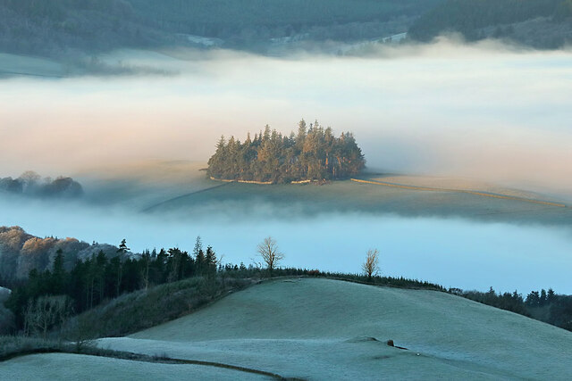
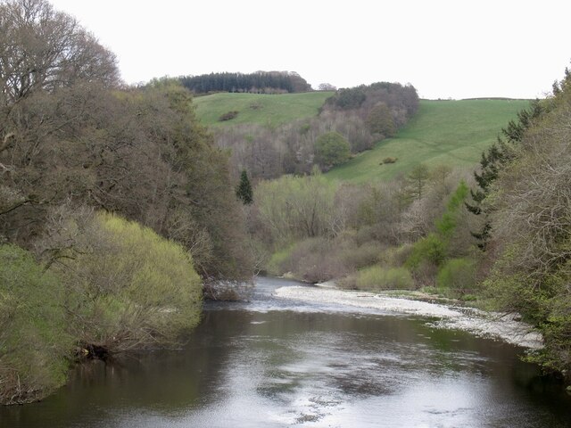
Covering an area of approximately 20 acres, Boleside Wiel boasts a diverse range of aquatic habitats, including a lake, pool, pond, and freshwater marsh. The lake is the largest body of water in the area, spanning around 5 acres and providing a serene backdrop for visitors to enjoy.

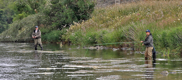
The pool is a smaller, more secluded water body, offering a tranquil atmosphere for birdwatchers and photographers. It is home to a variety of waterfowl species, including mallards, coots, and moorhens, which can often be spotted gliding across the calm surface.

The pond, located on the fringes of the marsh, is a breeding ground for amphibians such as frogs and newts. Its shallow waters create an ideal environment for these creatures to lay their eggs and complete their life cycles.

The freshwater marsh is a vibrant and thriving ecosystem, teeming with plant and animal life. Tall reeds and grasses dominate the landscape, providing shelter and nesting sites for a wide range of bird species. Visitors can observe the likes of reed warblers, sedge warblers, and water rails, their melodic calls filling the air.

Boleside Wiel is not only a haven for wildlife but also a popular destination for nature walks and picnics. With its stunning views, rich biodiversity, and peaceful ambiance, this natural gem offers an immersive experience for anyone seeking solace in the beauty of nature.

If you have any feedback on the listing, please let us know in the comments section below.

Boleside Wiel Images

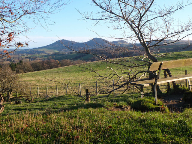
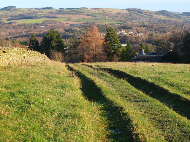
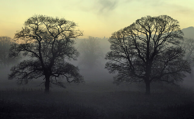
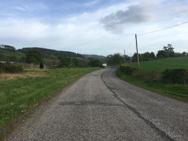
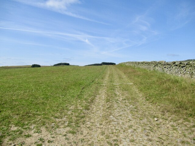
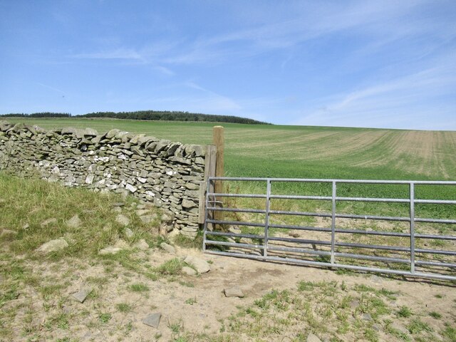
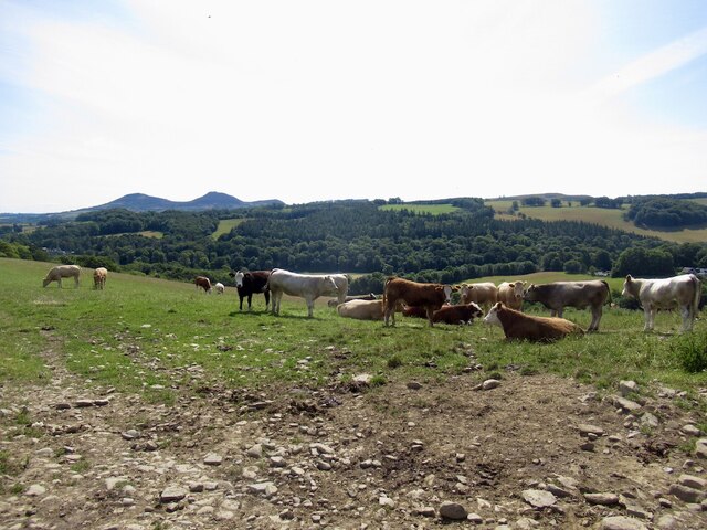
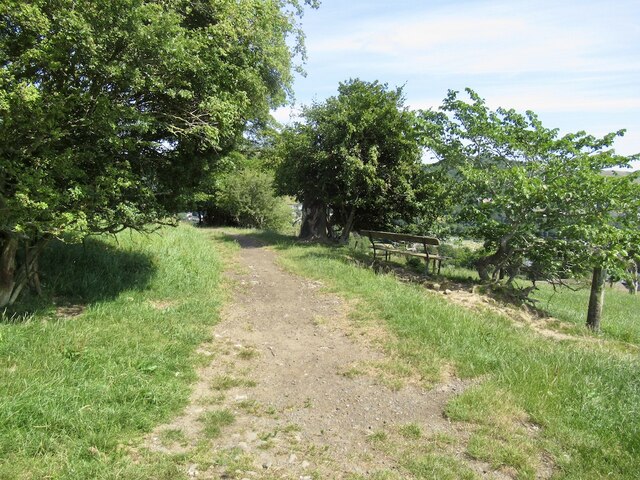
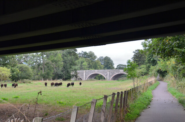
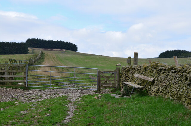
Images are sourced within 2km of 55.590019/-2.8026696 or Grid Reference NT4933. Thanks to Geograph Open Source API. All images are credited.

Viewpoint on Gala Hill A fine view to the Eildon Hills from this seat next to the Southern Upland Way.
Viewpoint on Gala Hill
A fine view to the Eildon Hills from this seat next to the Southern Upland Way.
Southern Upland Way, Gala Hill The way descends towards the River Tweed to the south of Galashiels.
Southern Upland Way, Gala Hill
The way descends towards the River Tweed to the south of Galashiels.
Winter trees by the River Tweed Freezing fog was beginning to form in this dusk shot taken from Tweed Bridge.
Winter trees by the River Tweed
Freezing fog was beginning to form in this dusk shot taken from Tweed Bridge.
Rink Hill from Eildon Mid Hill The small circular plantation on Rink Hill is the site of an Iron Age hillfort. This telephoto shot was taken from the summit of Eildon Mid Hill during a December sunrise. For two closer views of the small plantation on Rink Hill, see <a href="https://www.geograph.org.uk/photo/2347041">NT4832 : The Rink Hill Fort</a> and <a href="https://www.geograph.org.uk/photo/1758293">NT4732 : Rink Hill</a>.
Rink Hill from Eildon Mid Hill
The small circular plantation on Rink Hill is the site of an Iron Age hillfort. This telephoto shot was taken from the summit of Eildon Mid Hill during a December sunrise. For two closer views of the small plantation on Rink Hill, see NT4832 : The Rink Hill Fort and NT4732 : Rink Hill.
Ettrick Water View downstream from Ettrick Bridge, a redundant alignment of the A7.
Ettrick Water
View downstream from Ettrick Bridge, a redundant alignment of the A7.
Tweed Bridge Once it carried the A7 it has now been refurbished as a cycle path.
Tweed Bridge
Once it carried the A7 it has now been refurbished as a cycle path.
Pipeline construction Between Galshiels and Selkirk
Pipeline construction
Between Galshiels and Selkirk
Pipeline construction
B6360 near Faldonside
B7060 towards Yair
B7060 towards Yair
Anglers on the River Tweed This stretch of the river is just upstream from Tweed Bridge and the junction with the Ettrick Water.
Anglers on the River Tweed
This stretch of the river is just upstream from Tweed Bridge and the junction with the Ettrick Water.
Track above Netherbarns
Grassland on Gala Hill During a very dry Summer.
Grassland on Gala Hill
During a very dry Summer.
Cattle above Netherbarns
Path on Gala Hill Used by the Southern Upland Way between Galashiels and the Tweed.
Path on Gala Hill
Used by the Southern Upland Way between Galashiels and the Tweed.
Farmland beneath Gala Hill
Old Tweed Bridge from the A7 bridge The cyclepath alongside the Tweed between Selkirk and Galashiels passes under the A7 bridge here with the Old Tweed Bridge or Rink Bridge in view. Sir Walter Scott laid the foundation stone for the latter in 1831.
Old Tweed Bridge from the A7 bridge
The cyclepath alongside the Tweed between Selkirk and Galashiels passes under the A7 bridge here with the Old Tweed Bridge or Rink Bridge in view. Sir Walter Scott laid the foundation stone for the latter in 1831.
Gates and seat, Gala Hill The Southern Upland Way turns right here on its traverse across the east side of Gala Hill.
Gates and seat, Gala Hill
The Southern Upland Way turns right here on its traverse across the east side of Gala Hill.
Show me another place!

Boleside Wiel is located at Grid Ref: NT4933 (Lat: 55.590019, Lng: -2.8026696)

Unitary Authority: The Scottish Borders

Police Authority: The Lothians and Scottish Borders

What 3 Words

///sprains.surface.snatched. Near Galashiels, Scottish Borders

Related Wikis

Abbotsford Ferry railway station

Abbotsford Ferry railway station was a small railway station on the branch line from Galashiels to Selkirk railway station at Selkirk in the Scottish county...

Ettrick Water

The Ettrick Water is a river in Ettrick, by the village of Ettrickbridge and the historic town of Selkirk, in the Scottish Borders area of Scotland. The...

Boleside

Boleside is a village in the Scottish Borders area of Scotland, on the B7060, south of Galashiels. It is very close to the place where the Ettrick Water...

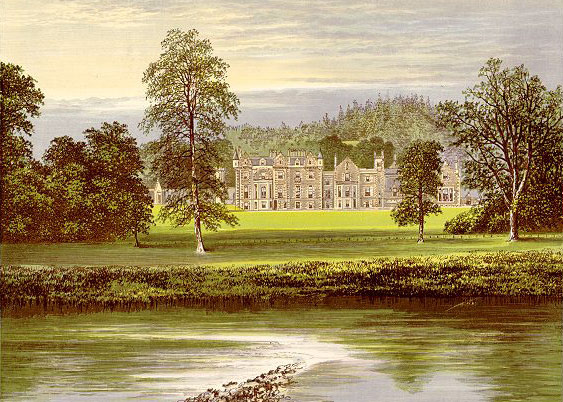
Abbotsford, Scottish Borders

Abbotsford is a historic country house in the Scottish Borders, near Galashiels, on the south bank of the River Tweed. Now open to the public, it was built...

Nearby Amenities

Located within 500m of 55.590019,-2.8026696
Barrier: bollard
Lat/Long: 55.590494/-2.8030812
Bus Stop
Boleside Footpath
Bus: yes
Naptan AtcoCode: 69001122
Naptan Bearing: NE
Naptan CommonName: Footpath
Naptan Indicator: opp
Naptan Landmark: Boleside Holdings footpath
Naptan NaptanCode: 72725464
Naptan Street: A7
Operator: Scottish Borders Council
Public Transport: platform
Ref: 69001122
Source: NaPTAN
Lat/Long: 55.5925787/-2.7991219
Bus Stop
Boleside Footpath
Bus: yes
Naptan AtcoCode: 69001703
Naptan Bearing: SW
Naptan CommonName: Footpath
Naptan Indicator: at
Naptan NaptanCode: 72798428
Naptan Street: A7
Operator: Scottish Borders Council
Public Transport: platform
Ref: 69001703
Source: NaPTAN
Lat/Long: 55.5923197/-2.7993521
Parking
Lat/Long: 55.5923834/-2.7959342
Boleside
Place: hamlet
Wikidata: Q4939193
Wikipedia: en:Boleside
Lat/Long: 55.591269/-2.8009584
Noexit: yes
Lat/Long: 55.5888664/-2.8075264
Noexit: yes
Lat/Long: 55.5893053/-2.8063986
Social Facility
Boleside Eventide Home
Social Facility: group_home
Social Facility For: senior
Lat/Long: 55.5923965/-2.8002347
Faldonside Stables
Place: hamlet
Lat/Long: 55.5897597/-2.7977535
Noexit: yes
Lat/Long: 55.5887262/-2.8080314
Noexit: yes
Lat/Long: 55.5887611/-2.8077042
Power: pole
Lat/Long: 55.5908839/-2.799089
Power: pole
Lat/Long: 55.5915849/-2.7990058
Noexit: yes
Lat/Long: 55.589785/-2.7978538
Power: pole
Lat/Long: 55.5884631/-2.8087022
Power: pole
Lat/Long: 55.5880287/-2.8097304
Power: pole
Lat/Long: 55.5906511/-2.7986771
Power: pole
Lat/Long: 55.5902196/-2.7979365
Power: pole
Lat/Long: 55.5897752/-2.7971882
Power: pole
Lat/Long: 55.5892876/-2.7965392
Power: pole
Lat/Long: 55.5884937/-2.7954601
The data included in this document is from www.openstreetmap.org. The data is made available under ODbL.

Have you been to Boleside Wiel?

Leave your review of Boleside Wiel below (or comments, questions and feedback).