Boleside

Settlement in Selkirkshire

Scotland

Boleside

Fallen trees, Gala Hill Trees probably brought down in Storm Arwen (November 26-27) just above the houses on the eastern flank of the hill.
Fallen trees, Gala Hill Credit: Jim Barton

Boleside is a small village located in the historic county of Selkirkshire, Scotland. Situated on the banks of the River Ettrick, it is nestled in the picturesque Scottish Borders region. The village is about 2 miles southwest of the town of Selkirk and approximately 35 miles south of Edinburgh.

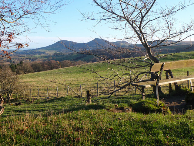
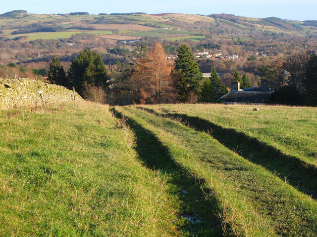
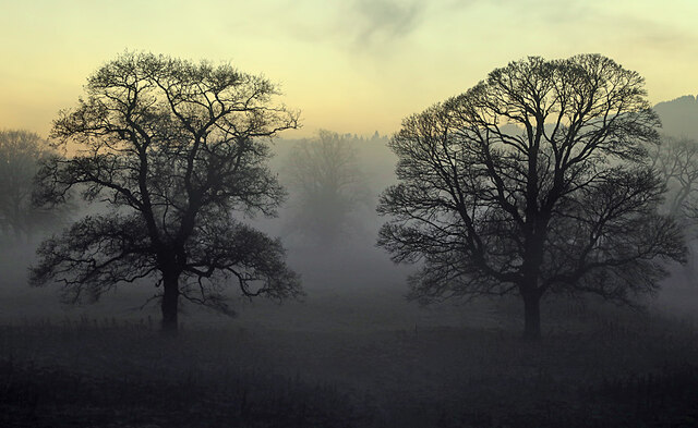
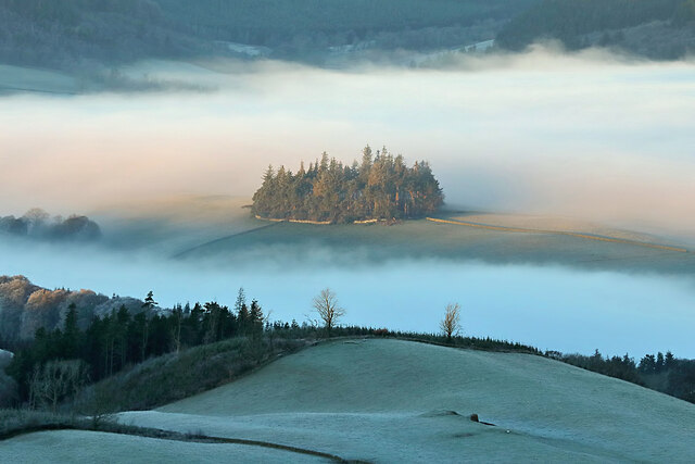
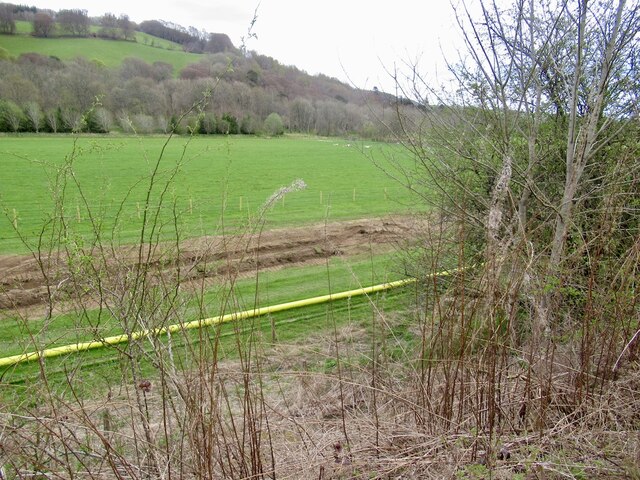
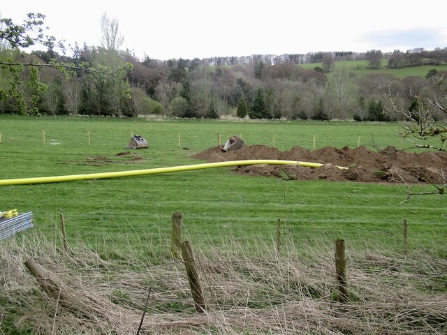
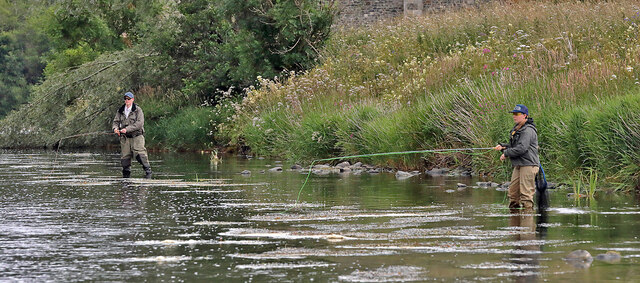
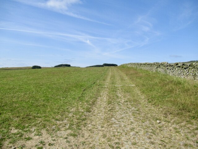
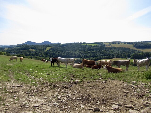
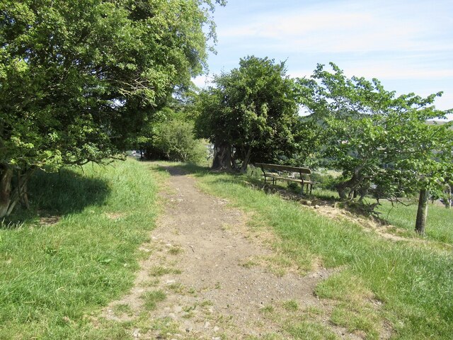
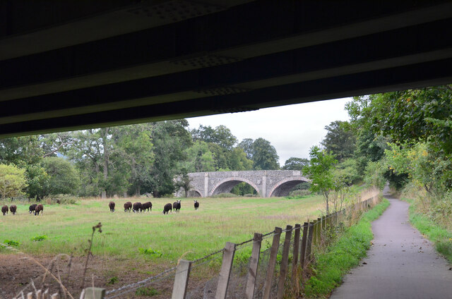
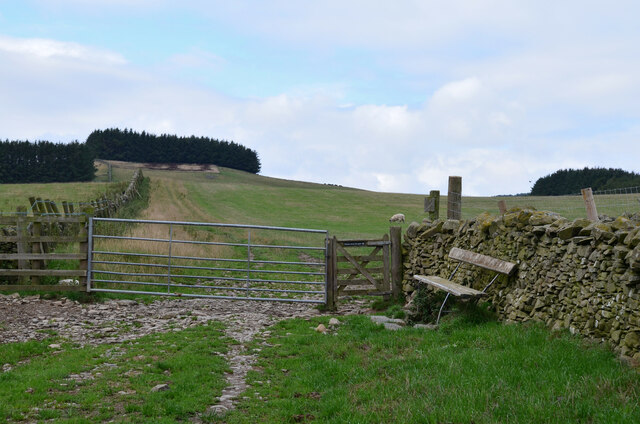
Boleside is known for its scenic beauty, surrounded by rolling hills, lush green countryside, and charming woodlands. The River Ettrick adds to the village's allure, offering tranquil spots for fishing and leisurely walks along its banks. The area is also abundant in wildlife, with various bird species and occasional sightings of deer.

Historically, Boleside was a hub for textile production, with several mills operating in the village during the 19th century. Today, the village retains its rural character, with a mix of old stone cottages and more modern houses. There are limited amenities within Boleside itself, but the nearby town of Selkirk provides a range of services including shops, schools, and healthcare facilities.

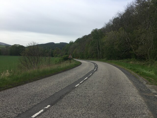
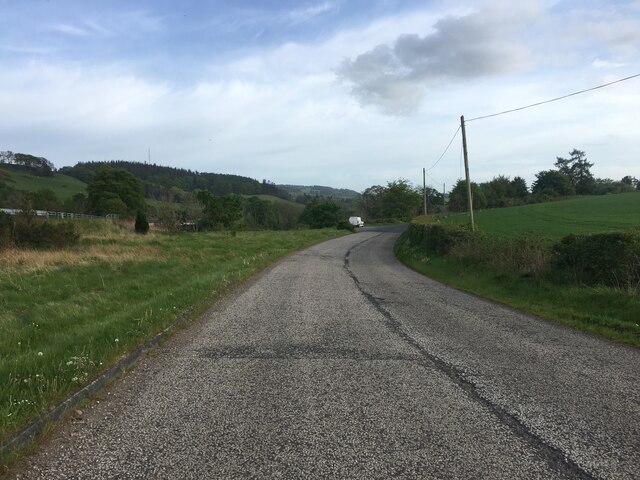
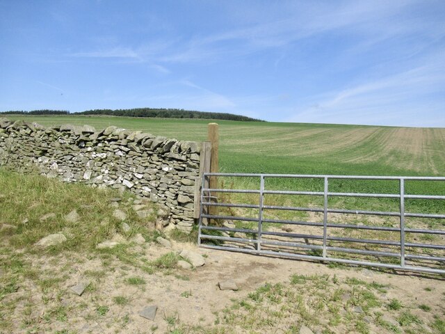
The village is well-positioned for outdoor enthusiasts, with numerous walking and cycling routes in the vicinity. The nearby Bowhill Estate offers beautiful trails through woodland and parkland, as well as a country house open to the public. Boleside is also within easy reach of the Southern Upland Way, a long-distance trail popular with hikers.

Boleside offers a peaceful and idyllic setting, making it an attractive place to live for those seeking a rural lifestyle with easy access to both nature and nearby amenities.

If you have any feedback on the listing, please let us know in the comments section below.

Boleside Images

Images are sourced within 2km of 55.592683/-2.7992173 or Grid Reference NT4933. Thanks to Geograph Open Source API. All images are credited.

Fallen trees, Gala Hill Trees probably brought down in Storm Arwen (November 26-27) just above the houses on the eastern flank of the hill.
Fallen trees, Gala Hill
Trees probably brought down in Storm Arwen (November 26-27) just above the houses on the eastern flank of the hill.
Viewpoint on Gala Hill A fine view to the Eildon Hills from this seat next to the Southern Upland Way.
Viewpoint on Gala Hill
A fine view to the Eildon Hills from this seat next to the Southern Upland Way.
Southern Upland Way, Gala Hill The way descends towards the River Tweed to the south of Galashiels.
Southern Upland Way, Gala Hill
The way descends towards the River Tweed to the south of Galashiels.
Winter trees by the River Tweed Freezing fog was beginning to form in this dusk shot taken from Tweed Bridge.
Winter trees by the River Tweed
Freezing fog was beginning to form in this dusk shot taken from Tweed Bridge.
Rink Hill from Eildon Mid Hill The small circular plantation on Rink Hill is the site of an Iron Age hillfort. This telephoto shot was taken from the summit of Eildon Mid Hill during a December sunrise. For two closer views of the small plantation on Rink Hill, see <a href="https://www.geograph.org.uk/photo/2347041">NT4832 : The Rink Hill Fort</a> and <a href="https://www.geograph.org.uk/photo/1758293">NT4732 : Rink Hill</a>.
Rink Hill from Eildon Mid Hill
The small circular plantation on Rink Hill is the site of an Iron Age hillfort. This telephoto shot was taken from the summit of Eildon Mid Hill during a December sunrise. For two closer views of the small plantation on Rink Hill, see NT4832 : The Rink Hill Fort and NT4732 : Rink Hill.
Tweed Bridge Once it carried the A7 it has now been refurbished as a cycle path.
Tweed Bridge
Once it carried the A7 it has now been refurbished as a cycle path.
Pipeline construction Between Galshiels and Selkirk
Pipeline construction
Between Galshiels and Selkirk
Pipeline construction
B6360 near Faldonside
B7060 towards Yair
B7060 towards Yair
Anglers on the River Tweed This stretch of the river is just upstream from Tweed Bridge and the junction with the Ettrick Water.
Anglers on the River Tweed
This stretch of the river is just upstream from Tweed Bridge and the junction with the Ettrick Water.
Track above Netherbarns
Grassland on Gala Hill During a very dry Summer.
Grassland on Gala Hill
During a very dry Summer.
Cattle above Netherbarns
Path on Gala Hill Used by the Southern Upland Way between Galashiels and the Tweed.
Path on Gala Hill
Used by the Southern Upland Way between Galashiels and the Tweed.
Farmland beneath Gala Hill
Old Tweed Bridge from the A7 bridge The cyclepath alongside the Tweed between Selkirk and Galashiels passes under the A7 bridge here with the Old Tweed Bridge or Rink Bridge in view. Sir Walter Scott laid the foundation stone for the latter in 1831.
Old Tweed Bridge from the A7 bridge
The cyclepath alongside the Tweed between Selkirk and Galashiels passes under the A7 bridge here with the Old Tweed Bridge or Rink Bridge in view. Sir Walter Scott laid the foundation stone for the latter in 1831.
Gates and seat, Gala Hill The Southern Upland Way turns right here on its traverse across the east side of Gala Hill.
Gates and seat, Gala Hill
The Southern Upland Way turns right here on its traverse across the east side of Gala Hill.
Show me another place!

Boleside is located at Grid Ref: NT4933 (Lat: 55.592683, Lng: -2.7992173)

Unitary Authority: The Scottish Borders

Police Authority: The Lothians and Scottish Borders

What 3 Words

///ringside.suitable.lawyer. Near Tweedbank, Scottish Borders

Related Wikis

Abbotsford Ferry railway station

Abbotsford Ferry railway station was a small railway station on the branch line from Galashiels to Selkirk railway station at Selkirk in the Scottish county...

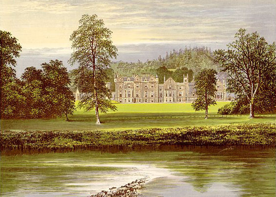
Abbotsford, Scottish Borders

Abbotsford is a historic country house in the Scottish Borders, near Galashiels, on the south bank of the River Tweed. Now open to the public, it was built...

Ettrick Water

The Ettrick Water is a river in Ettrick, by the village of Ettrickbridge and the historic town of Selkirk, in the Scottish Borders area of Scotland. The...

Boleside

Boleside is a village in the Scottish Borders area of Scotland, on the B7060, south of Galashiels. It is very close to the place where the Ettrick Water...
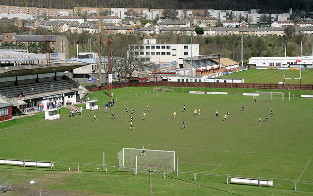
Netherdale

Netherdale is a sports complex in Galashiels, Scottish Borders, consisting of two adjacent stadiums used for rugby union and football. The rugby ground...

Borders College

Borders College (Scottish Gaelic: Colaiste nan Crìochan) is a further education institution in the Scottish Borders, Scotland. Its main campus is located...

Tweedbank

Tweedbank is a large village south-east of Galashiels in the Scottish Borders, Scotland. It is part of the county of Roxburghshire. It is an outer suburb...
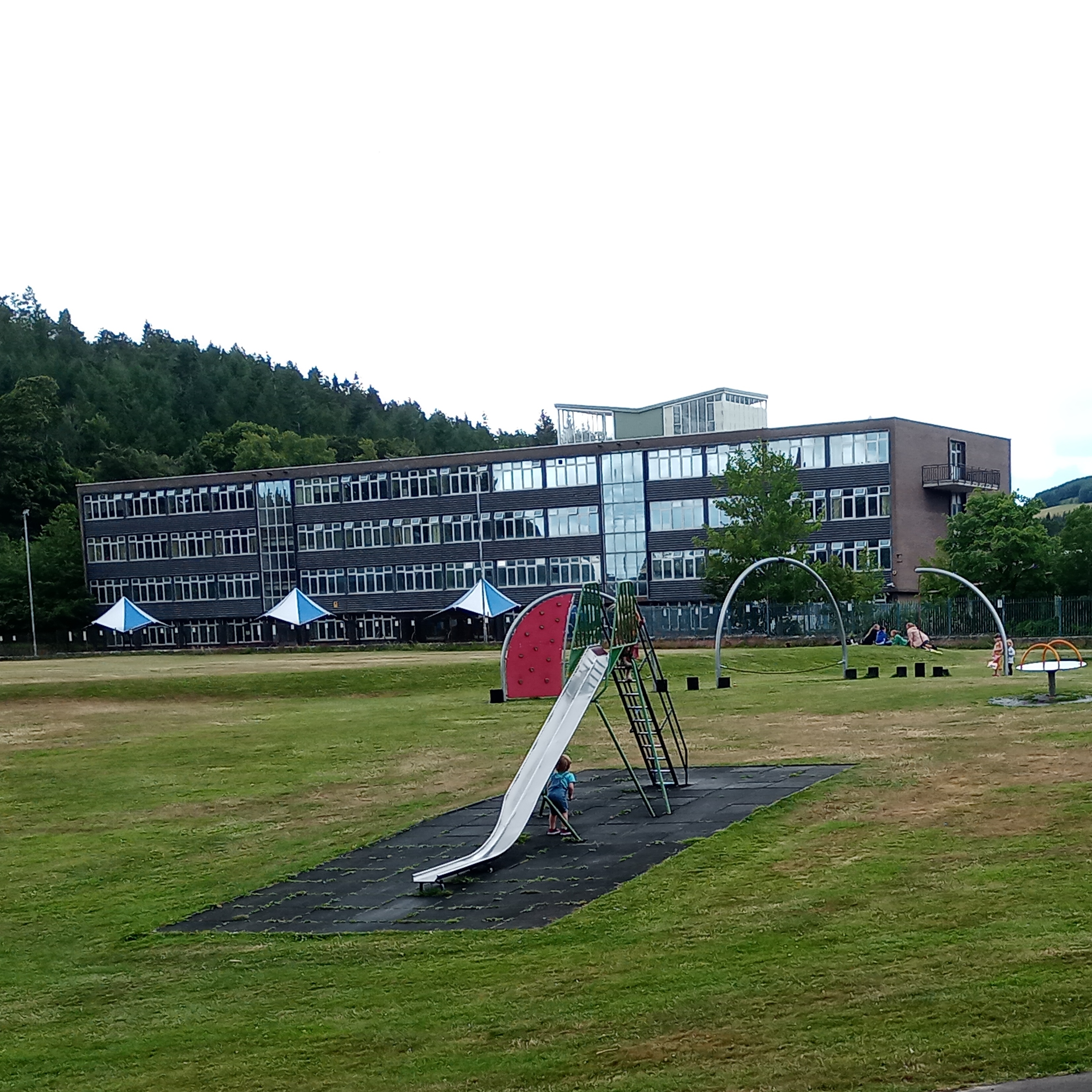
Galashiels Academy

Galashiels Academy is the high school in Galashiels, Scotland, that serves the surrounding area including Stow. Refounded in 1938, the school's history...

Related Videos

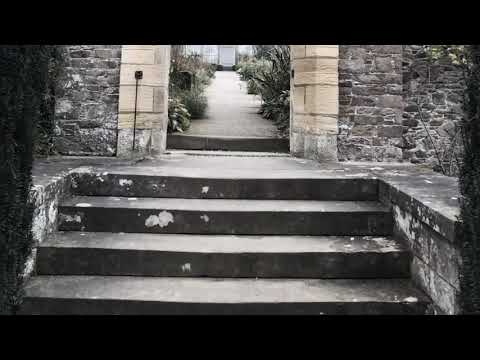
Travel to Abbotsford

On a song composed by Sir Walter Scott (Bonnie Dundee) lets travel to a magical place... Abbotsford House, home of Sir Walter ...

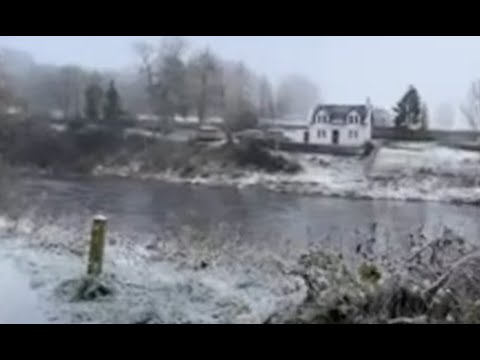
❄️ Walking on the snowy icy riverbank in Scotland

Join me for a beautiful walk on the River Tweed in Souther Scotland. Watch me skimming stones, see the gulls on the water, and ...

Part 1, 75/12 Challenge.

Fundraising event in support of Combat Stress.

Exploring Literary Legacies | Abbotsford - The Home of Sir Walter Scott #scotland #travel #museum

Embark on a literary journey as we delve into the historic charm of Abbotsford, the cherished home of Sir Walter Scott Join ...

Nearby Amenities

Located within 500m of 55.592683,-2.7992173
Barrier: bollard
Lat/Long: 55.590494/-2.8030812
Bus Stop
Boleside Footpath
Bus: yes
Naptan AtcoCode: 69001122
Naptan Bearing: NE
Naptan CommonName: Footpath
Naptan Indicator: opp
Naptan Landmark: Boleside Holdings footpath
Naptan NaptanCode: 72725464
Naptan Street: A7
Operator: Scottish Borders Council
Public Transport: platform
Ref: 69001122
Source: NaPTAN
Lat/Long: 55.5925787/-2.7991219
Bus Stop
Boleside Footpath
Bus: yes
Naptan AtcoCode: 69001703
Naptan Bearing: SW
Naptan CommonName: Footpath
Naptan Indicator: at
Naptan NaptanCode: 72798428
Naptan Street: A7
Operator: Scottish Borders Council
Public Transport: platform
Ref: 69001703
Source: NaPTAN
Lat/Long: 55.5923197/-2.7993521
Parking
Lat/Long: 55.5923834/-2.7959342
Boleside
Place: hamlet
Wikidata: Q4939193
Wikipedia: en:Boleside
Lat/Long: 55.591269/-2.8009584
Glenmayne
Place: isolated_dwelling
Lat/Long: 55.5946258/-2.7972543
Lodge
Place: isolated_dwelling
Lat/Long: 55.5962563/-2.7944632
Lodge
Place: isolated_dwelling
Lat/Long: 55.5964626/-2.7952886
Noexit: yes
Lat/Long: 55.5961634/-2.7943855
Social Facility
Boleside Eventide Home
Social Facility: group_home
Social Facility For: senior
Lat/Long: 55.5923965/-2.8002347
Faldonside Stables
Place: hamlet
Lat/Long: 55.5897597/-2.7977535
Power: pole
Lat/Long: 55.5953133/-2.8054994
Power: pole
Lat/Long: 55.595971/-2.8043783
Power: pole
Lat/Long: 55.595377/-2.8055799
Power: pole
Lat/Long: 55.5908839/-2.799089
Power: pole
Lat/Long: 55.5915849/-2.7990058
Noexit: yes
Lat/Long: 55.589785/-2.7978538
Power: pole
Lat/Long: 55.5969669/-2.7974631
Power: pole
Lat/Long: 55.5963198/-2.7975496
Power: pole
Lat/Long: 55.5956813/-2.7979059
Power: pole
Lat/Long: 55.5950529/-2.7982114
Power: pole
Lat/Long: 55.5946316/-2.7984608
Power: pole
Lat/Long: 55.5906511/-2.7986771
Power: pole
Lat/Long: 55.5902196/-2.7979365
Power: pole
Lat/Long: 55.5897752/-2.7971882
Power: pole
Lat/Long: 55.5892876/-2.7965392
The data included in this document is from www.openstreetmap.org. The data is made available under ODbL.

Have you been to Boleside?

Leave your review of Boleside below (or comments, questions and feedback).