Glenmayne
Settlement in Selkirkshire
Scotland
Glenmayne
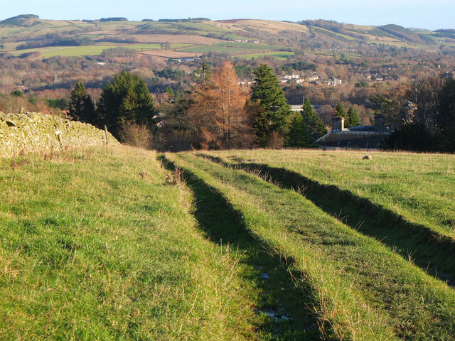
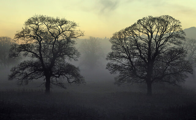
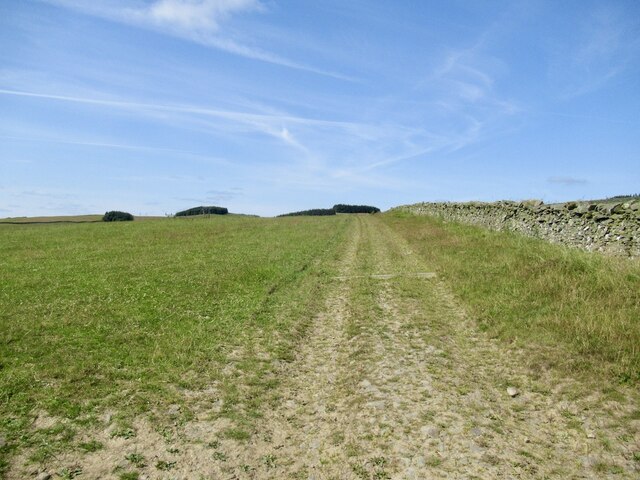
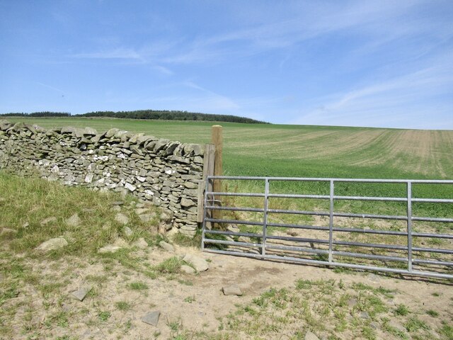
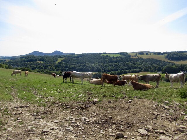
Glenmayne is a small village located in the historical county of Selkirkshire, in the Scottish Borders region of Scotland. Situated in the lush and picturesque Ettrick Valley, Glenmayne is surrounded by rolling hills and breathtaking natural beauty.
The village itself is home to a close-knit community of approximately 300 residents. It is known for its tranquil and idyllic setting, making it a popular destination for those seeking a peaceful retreat from city life. The residents take pride in their village's rich history and heritage, with many traditional stone cottages and buildings still standing.
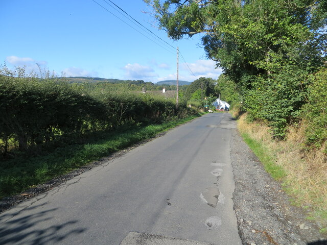
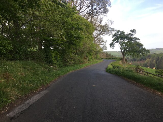
Glenmayne is well-connected to neighboring towns and villages by a network of roads, making it easily accessible to visitors. The nearby town of Selkirk offers a wider range of amenities, including shops, schools, and healthcare facilities.
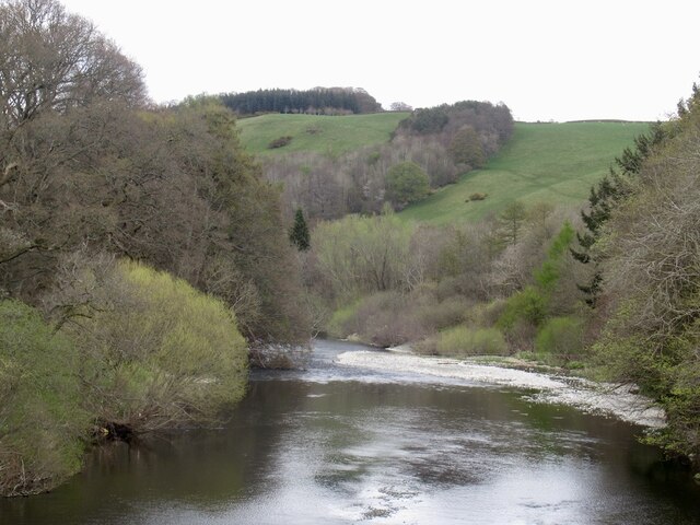
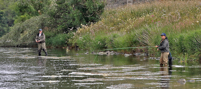
The village is also a haven for outdoor enthusiasts, with numerous walking and cycling trails in the surrounding countryside. The Ettrick Water, a river that flows through the village, provides opportunities for fishing and other water activities.
Despite its small size, Glenmayne hosts several community events throughout the year, including a summer fair and a Christmas market. These events bring residents together and foster a strong sense of community spirit.
In conclusion, Glenmayne is a charming and picturesque village nestled in the heart of Selkirkshire. Its natural beauty, rich history, and close-knit community make it a truly special place to visit or call home.
If you have any feedback on the listing, please let us know in the comments section below.
Glenmayne Images
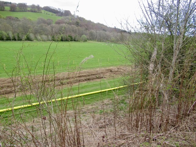
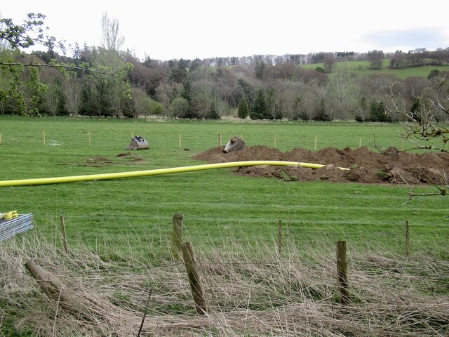
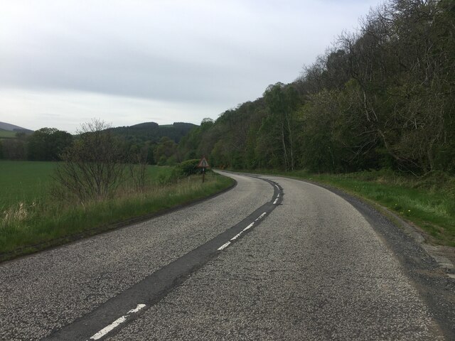
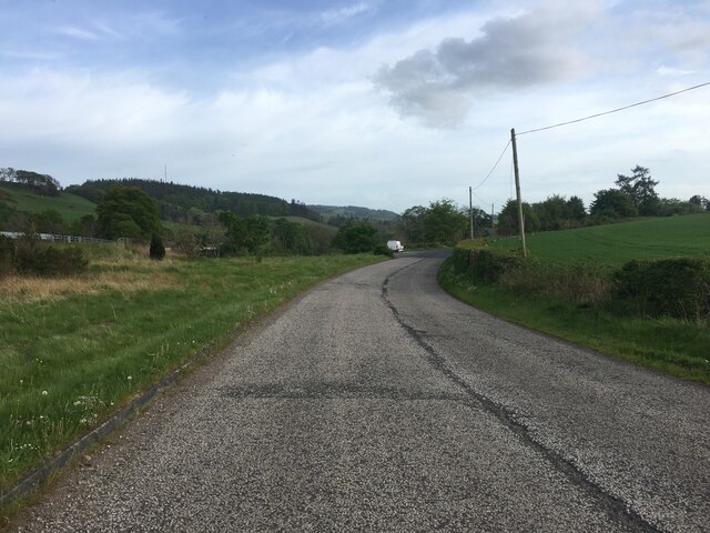
Images are sourced within 2km of 55.587954/-2.8106872 or Grid Reference NT4933. Thanks to Geograph Open Source API. All images are credited.


Glenmayne is located at Grid Ref: NT4933 (Lat: 55.587954, Lng: -2.8106872)
Unitary Authority: The Scottish Borders
Police Authority: The Lothians and Scottish Borders
What 3 Words
///snuggled.coil.troubled. Near Galashiels, Scottish Borders
Nearby Locations
Related Wikis

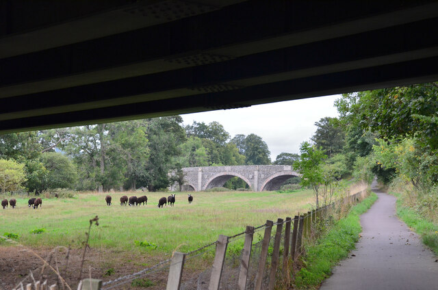
Ettrick Water
The Ettrick Water is a river in Ettrick, by the village of Ettrickbridge and the historic town of Selkirk, in the Scottish Borders area of Scotland. The...

Abbotsford Ferry railway station
Abbotsford Ferry railway station was a small railway station on the branch line from Galashiels to Selkirk railway station at Selkirk in the Scottish county...

Boleside
Boleside is a village in the Scottish Borders area of Scotland, on the B7060, south of Galashiels. It is very close to the place where the Ettrick Water...

Lindean railway station
Lindean railway station served the village of Lindean, Scottish Borders, Scotland, from 1856 to 1964 on the Selkirk and Galashiels Railway. == History... ==
Nearby Amenities
Located within 500m of 55.587954,-2.8106872Have you been to Glenmayne?
Leave your review of Glenmayne below (or comments, questions and feedback).