Boley Park
Settlement in Staffordshire Lichfield
England
Boley Park
Boley Park is a residential area located in the town of Lichfield, in the county of Staffordshire, England. Situated on the eastern outskirts of Lichfield, Boley Park is a well-established and highly sought-after residential neighborhood with a mix of houses, apartments, and bungalows.
The area is known for its quiet and family-friendly atmosphere, making it popular among families and professionals alike. Boley Park benefits from excellent transport links, with easy access to major roads such as the A38 and A51, as well as being within walking distance of Lichfield Trent Valley railway station.
Residents of Boley Park enjoy a range of amenities within close proximity. The neighborhood has its own shopping center, Boley Park Centre, which hosts a variety of shops, including a supermarket, restaurants, and cafes, providing convenient access to everyday necessities. Additionally, the nearby Lichfield city center offers a wider range of shopping, dining, and leisure facilities.
Nature enthusiasts can take advantage of the nearby Darnford Park, a picturesque green space with walking trails and a lake, ideal for outdoor activities and leisurely strolls. Lichfield Golf and Country Club is also located in the vicinity, catering to those with a passion for golf and offering a range of leisure facilities.
Overall, Boley Park offers a comfortable and convenient residential experience, providing a peaceful and well-connected community for its residents.
If you have any feedback on the listing, please let us know in the comments section below.
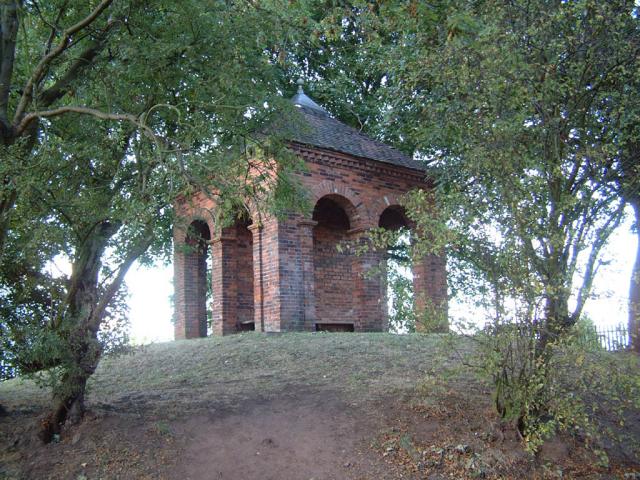
Boley Park Images
Images are sourced within 2km of 52.678858/-1.806262 or Grid Reference SK1309. Thanks to Geograph Open Source API. All images are credited.


Boley Park is located at Grid Ref: SK1309 (Lat: 52.678858, Lng: -1.806262)
Administrative County: Staffordshire
District: Lichfield
Police Authority: Staffordshire
What 3 Words
///toned.drank.guises. Near Lichfield, Staffordshire
Nearby Locations
Related Wikis

St Michael on Greenhill, Lichfield
St Michael on Greenhill is a parish church in Lichfield, Staffordshire in England, located on the high ground of Greenhill in the east of the city. A church...
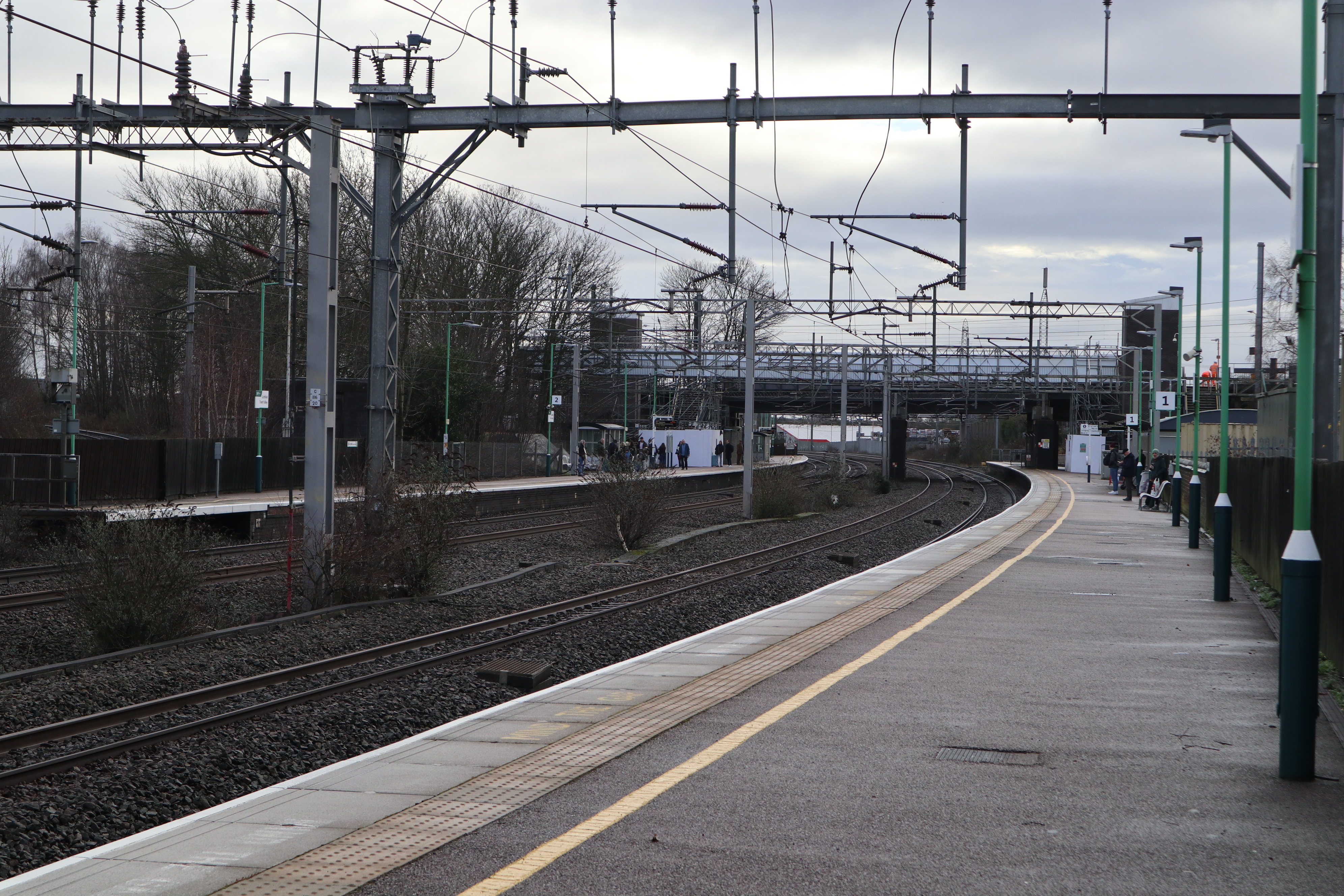
Lichfield Trent Valley railway station
Lichfield Trent Valley is a railway station on the outskirts of the city of Lichfield in Staffordshire, England. It is one of two stations in Lichfield...

King Edward VI School, Lichfield
King Edward VI School, Lichfield, is a co-educational secondary school and sixth form located near the heart of the city of Lichfield, Staffordshire, England...
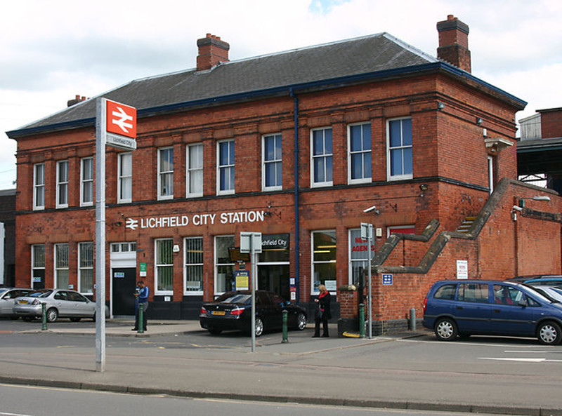
Lichfield City railway station
Lichfield City is one of two railway stations serving the cathedral city of Lichfield, in Staffordshire, England. It is situated in the city-centre, and...
Nearby Amenities
Located within 500m of 52.678858,-1.806262Have you been to Boley Park?
Leave your review of Boley Park below (or comments, questions and feedback).