Bolenowe

Settlement in Cornwall

England

Bolenowe

Wheal Grenville Fortesque's shaft and whim The impressive engine house at Fortesque's shaft with the drawing whim beyond. See
<a title="https://www.geograph.org.uk/photo/4131867" href="https://www.geograph.org.uk/photo/4131867">Link</a> for more details.
Wheal Grenville Fortesque's shaft and whim Credit: Richard Bird

Bolenowe is a small village located in the county of Cornwall, England. Situated in the southwestern part of the country, it is nestled amidst the picturesque countryside and rolling hills that Cornwall is renowned for. Bolenowe is situated approximately 6 miles southeast of the town of Redruth and 10 miles northwest of the city of Falmouth.

The village is characterized by its quaint and charming atmosphere, with a population of around 200 residents. The surrounding landscape is dominated by lush green fields, scattered with traditional stone cottages and farmhouses. Bolenowe is surrounded by an abundance of natural beauty, with nearby woodlands and meandering streams providing a tranquil setting.

Despite its small size, Bolenowe offers a range of amenities to its residents and visitors. The village is home to a local pub, providing a friendly gathering place and a chance to sample some traditional Cornish fare. The nearby town of Redruth offers a wider range of amenities, including shops, restaurants, and leisure facilities.

Bolenowe is ideally situated for those looking to explore the wider region of Cornwall. The village is within easy reach of the stunning coastline, with beautiful sandy beaches just a short drive away. Additionally, Bolenowe's proximity to the A30 provides convenient access to other popular destinations within Cornwall, such as the historic town of St Ives and the vibrant city of Truro.

Overall, Bolenowe offers a peaceful and idyllic setting for those seeking a rural retreat in the heart of Cornwall's countryside.

If you have any feedback on the listing, please let us know in the comments section below.
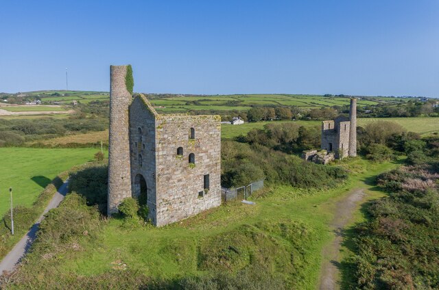
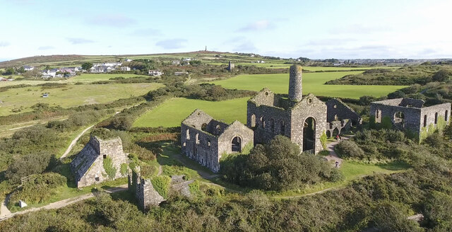
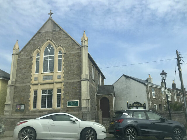
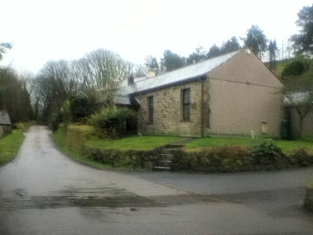
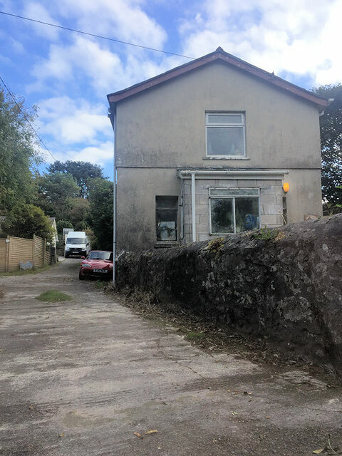
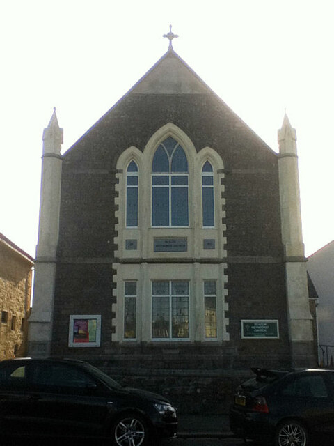
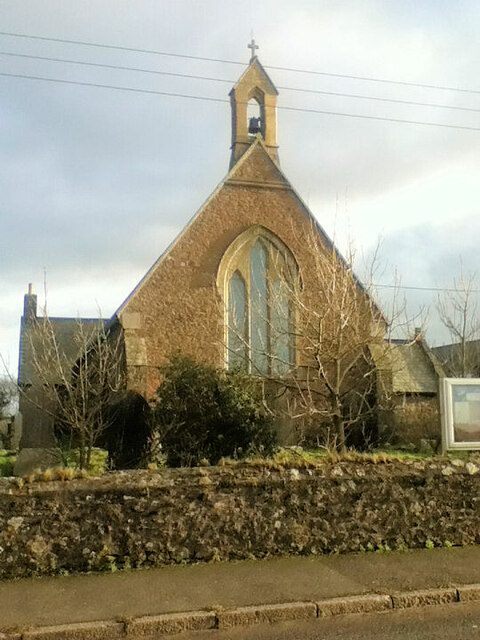
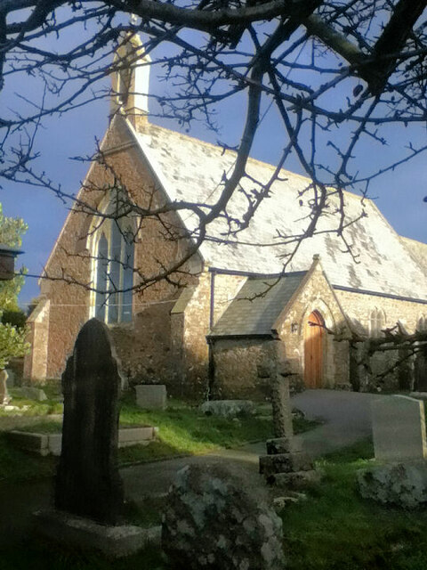
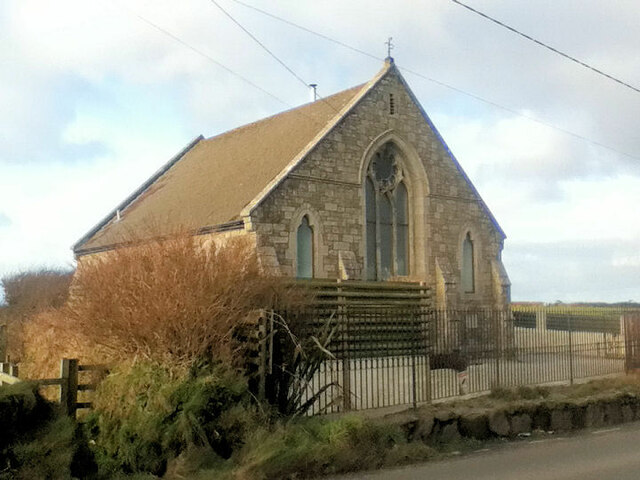
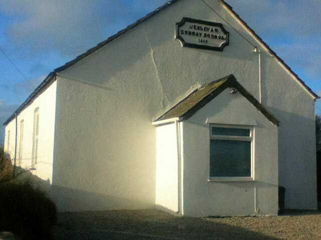
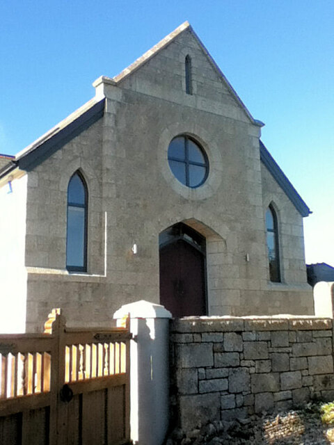
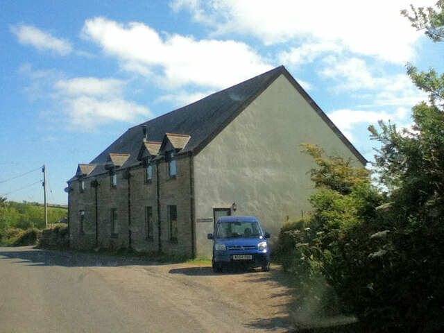
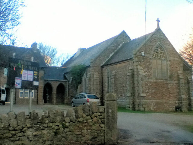
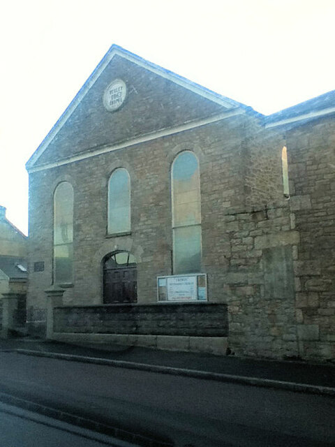
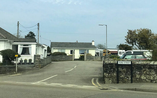
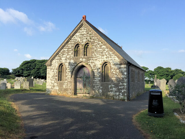
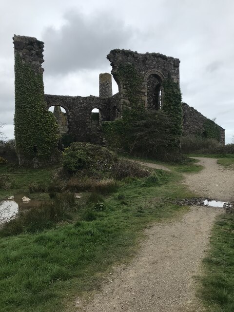
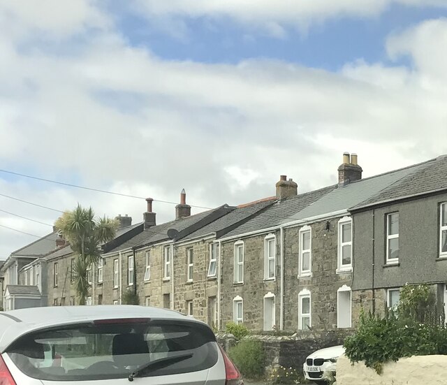
Bolenowe Images

Images are sourced within 2km of 50.195245/-5.263942 or Grid Reference SW6737. Thanks to Geograph Open Source API. All images are credited.

Wheal Grenville Fortesque's shaft and whim The impressive engine house at Fortesque's shaft with the drawing whim beyond. See
<a title="https://www.geograph.org.uk/photo/4131867" href="https://www.geograph.org.uk/photo/4131867">Link</a> for more details.
Wheal Grenville Fortesque's shaft and whim
The impressive engine house at Fortesque's shaft with the drawing whim beyond. See Link for more details.
South Frances Mine ruins Widely regarded as the finest group of mining remains in Cornwall, South Frances is located on the Great Flat Lode. Working into the 1900s this site was the scene of the last-ditch attempt to mine this lode in depth, with an up-to-date new steam pump installed in the cathedral-like ruins. It was intended to eventually sink the shaft to 500 fathoms (3000 feet, 914 metres) but ingress of water from other nearby closed mines caused the mission to be eventually abandoned. The collar of the shaft has been safely covered by a grille which allows a view into the massive brick-lined shaft.  A large ore bin, miners' dry, boiler house and other sundry buildings complete with fine site.
South Frances Mine ruins
Widely regarded as the finest group of mining remains in Cornwall, South Frances is located on the Great Flat Lode. Working into the 1900s this site was the scene of the last-ditch attempt to mine this lode in depth, with an up-to-date new steam pump installed in the cathedral-like ruins. It was intended to eventually sink the shaft to 500 fathoms (3000 feet, 914 metres) but ingress of water from other nearby closed mines caused the mission to be eventually abandoned. The collar of the shaft has been safely covered by a grille which allows a view into the massive brick-lined shaft. A large ore bin, miners' dry, boiler house and other sundry buildings complete with fine site.
Beacon Methodist Church
Former Free United Church
Former Wesleyan Methodist Chapel
Beacon Methodist Church
St Andrew's Church
St Andrew's Church
St Andrew's Church
St Andrew's Church
Former Wesleyan Methodist Chapel
Former Wesleyan Sunday School
Plantation Chapel
Plantation Chapel
Former chapel
Former chapel
Former Mission Church with adjoining Sunday School at left
Troon Methodist Church
Chapel Square leading to Chapel Farm
Troon Cemetery
Troon Cemetery
South Wheal Frances
South Wheal Frances
Terraced houses
Terraced houses
Show me another place!

Bolenowe is located at Grid Ref: SW6737 (Lat: 50.195245, Lng: -5.263942)

Unitary Authority: Cornwall

Police Authority: Devon and Cornwall

What 3 Words

///nagging.premiums.clotting. Near Four Lanes, Cornwall

Related Wikis

Bolenowe

Bolenowe (Cornish: Boslenow, meaning dwelling of strip-fields) is a village in west Cornwall, England, United Kingdom. It is approximately one-and-a-half...

Croft Mitchell

Croft Mitchell is a hamlet in the parish of Camborne, Cornwall, England. == References ==

King Edward Mine

The King Edward Mine at Camborne, Cornwall, in the United Kingdom is a mine wholly owned by Cornwall Council. At the end of the 19th century students at...

Grillis

Grillis is a hamlet in the parish of Carn Brea, Cornwall, England. == References ==

Nearby Amenities

Located within 500m of 50.195245,-5.263942
Bolenowe
Name Kw: Boslenow
Place: hamlet
Wikidata: Q4939174
Lat/Long: 50.195688/-5.2620632
Barrier: stile
Material: granite
Lat/Long: 50.1933247/-5.2614523
Barrier: stile
Lat/Long: 50.1935772/-5.2641825
Barrier: stile
Description: Metal vehicle gate which can't be moved, there is a cross member missing which you can pass through
Material: metal
Stile: squeezer
Lat/Long: 50.1916051/-5.2603818
Power: pole
Source: approximate
Lat/Long: 50.1940546/-5.2703777
Power: pole
Source: approximate
Lat/Long: 50.1952685/-5.2703697
Power: pole
Source: approximate
Lat/Long: 50.1959674/-5.2703858
Power: pole
Source: approximate
Lat/Long: 50.1967937/-5.2704031
Barrier: stile
Lat/Long: 50.1954649/-5.2682575
Power: pole
Lat/Long: 50.1930512/-5.2674843
Power: pole
Lat/Long: 50.193519/-5.266726
Information: board
Tourism: information
Lat/Long: 50.1909764/-5.2654301
Barrier: block
Lat/Long: 50.1923898/-5.2677284
Barrier: entrance
Entrance: yes
Lat/Long: 50.193128/-5.2664302
Barrier: stile
Lat/Long: 50.1918478/-5.2667408
Barrier: stile
Lat/Long: 50.1921417/-5.2674299
Barrier: stile
Lat/Long: 50.1909858/-5.2654506
Information: board
Tourism: information
Lat/Long: 50.1935652/-5.2642053
Barrier: stile
Lat/Long: 50.1940591/-5.2633718
Barrier: stile
Lat/Long: 50.1947983/-5.2639451
Information: guidepost
Tourism: information
Lat/Long: 50.1952821/-5.2629246
Power: pole
Lat/Long: 50.1953165/-5.262771
Power: pole
Lat/Long: 50.195307/-5.2628106
Barrier: stile
Lat/Long: 50.1963209/-5.2691661
Information: guidepost
Tourism: information
Lat/Long: 50.1944302/-5.2656711
Barrier: stile
Lat/Long: 50.1944396/-5.2656652
Barrier: entrance
Lat/Long: 50.1976782/-5.2586572
Barrier: entrance
Lat/Long: 50.1987943/-5.2680543
Barrier: entrance
Lat/Long: 50.1986226/-5.267082
Power: pole
Lat/Long: 50.1955277/-5.2571069
Generator Method: photovoltaic
Generator Output Electricity: small_installation
Generator Source: solar
Generator Type: solar_photovoltaic_panel
Location: roof
Power: generator
Source: bing
Lat/Long: 50.1931598/-5.2677941
Generator Method: photovoltaic
Generator Output Electricity: small_installation
Generator Source: solar
Generator Type: solar_photovoltaic_panel
Location: roof
Power: generator
Source: bing
Lat/Long: 50.1985831/-5.266282
Generator Method: photovoltaic
Generator Output Electricity: small_installation
Generator Source: solar
Generator Type: solar_photovoltaic_panel
Location: roof
Power: generator
Source: bing
Lat/Long: 50.1953774/-5.2614427
Generator Method: photovoltaic
Generator Output Electricity: small_installation
Generator Source: solar
Generator Type: solar_photovoltaic_panel
Location: roof
Power: generator
Source: bing
Lat/Long: 50.194955/-5.262478
Power: pole
Source: bing;wpd_open_data
Lat/Long: 50.1930803/-5.2597891
Power: pole
Source: bing;wpd_open_data
Lat/Long: 50.1924351/-5.2607052
Power: pole
Source: bing;wpd_open_data
Lat/Long: 50.1927363/-5.2602707
Power: pole
Source: bing;wpd_open_data
Lat/Long: 50.1930774/-5.2579945
Power: pole
Source: bing;wpd_open_data
Lat/Long: 50.1943452/-5.2605983
Power: pole
Source: bing;wpd_open_data
Lat/Long: 50.193973/-5.2598255
Power: pole
Source: bing;wpd_open_data
Lat/Long: 50.193603/-5.2590573
Power: pole
Source: bing;wpd_open_data
Lat/Long: 50.1948546/-5.2616562
Power: pole
Source: bing;wpd_open_data
Lat/Long: 50.1953512/-5.2626653
Power: pole
Source: bing;wpd_open_data
Lat/Long: 50.1950779/-5.2642578
Power: pole
Source: bing;wpd_open_data
Lat/Long: 50.1940684/-5.2658545
Power: pole
Source: bing;wpd_open_data
Lat/Long: 50.1925879/-5.2686705
Power: pole
Source: bing;wpd_open_data
Lat/Long: 50.1988104/-5.2668267
Power: pole
Source: bing;wpd_open_data
Lat/Long: 50.1967764/-5.2704723
Post Box
Brand: Royal Mail
Brand Wikidata: Q638098
Collection Times: Mo-Fr 16:30; Sa 11:00; Su off
Drive Through: no
Operator: Royal Mail
Operator Wikidata: Q638098
Post Box Mounting: wooden_pole
Post Box Type: lamp
Ref: TR14 127
Royal Cypher: EIIR
Royal Cypher Wikidata: Q33102113
Source: survey;streetlevel imagery;aerial imagery
Lat/Long: 50.1956302/-5.2610375
Note: Have to duck under electic fence
Lat/Long: 50.1916009/-5.2604071
Barrier: stile
Lat/Long: 50.1926358/-5.259118
Barrier: stile
Material: wood
Lat/Long: 50.1926707/-5.2590819
Barrier: stile
Material: granite
Stile: stepover
Lat/Long: 50.1935702/-5.2604918
The data included in this document is from www.openstreetmap.org. The data is made available under ODbL.

Have you been to Bolenowe?

Leave your review of Bolenowe below (or comments, questions and feedback).