Bolenowe Carn Moor

Downs, Moorland in Cornwall

England

Bolenowe Carn Moor

Wheal Grenville Fortesque's shaft and whim The impressive engine house at Fortesque's shaft with the drawing whim beyond. See
<a title="https://www.geograph.org.uk/photo/4131867" href="https://www.geograph.org.uk/photo/4131867">Link</a> for more details.
Wheal Grenville Fortesque's shaft and whim Credit: Richard Bird

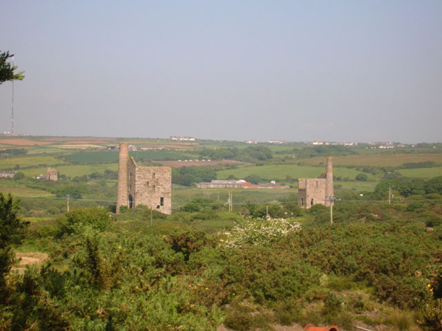
Bolenowe Carn Moor is a picturesque area located in Cornwall, England. It is a part of the Downs and Moorland region, known for its rolling hills, open spaces, and breathtaking views.

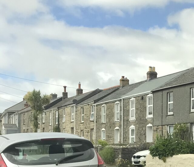
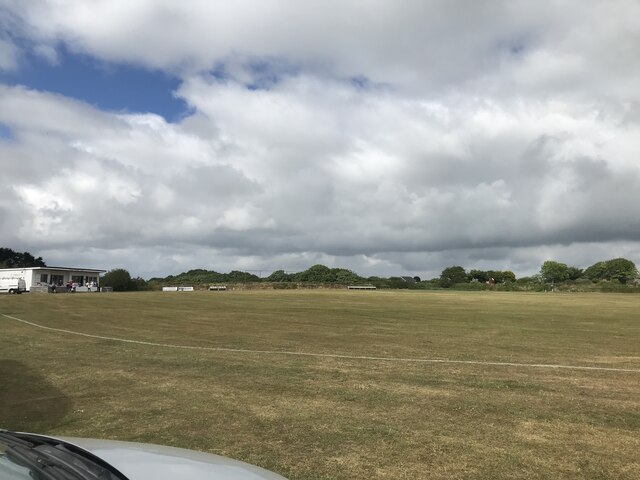
The moorland is situated near the village of Bolenowe, offering visitors a tranquil and untouched natural landscape. The area is characterized by its rugged terrain, with a mix of heather-covered hills, rocky outcrops, and grassy expanses. This diverse topography provides a home for a wide variety of flora and fauna, making it a haven for nature lovers and wildlife enthusiasts.

The moorland is crisscrossed by a network of footpaths and trails, making it an ideal destination for hikers and walkers. These paths offer visitors the opportunity to explore the area at their own pace, immersing themselves in the peaceful surroundings and taking in the stunning views of the surrounding countryside.

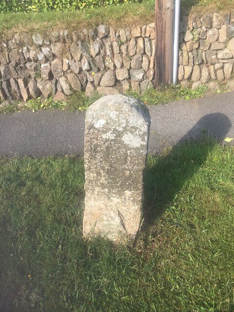
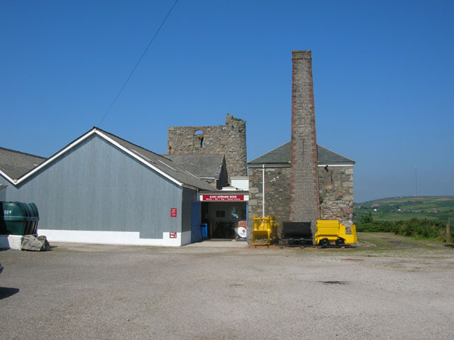
Bolenowe Carn Moor is also known for its historical significance. The area is dotted with ancient archaeological sites, including stone circles and burial mounds, providing glimpses into the region's rich heritage. These sites offer visitors a chance to step back in time and imagine the lives of those who once inhabited this land.

Overall, Bolenowe Carn Moor is a captivating destination that showcases the natural beauty and cultural history of Cornwall. Whether it's a leisurely stroll, a challenging hike, or an exploration of ancient ruins, visitors to this area are sure to be captivated by its charm and allure.

If you have any feedback on the listing, please let us know in the comments section below.

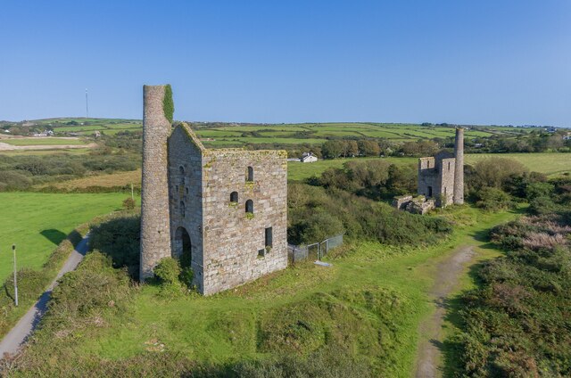
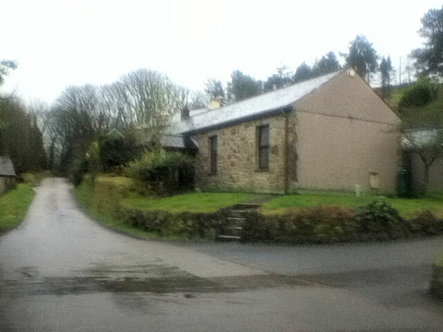
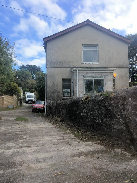
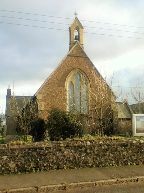
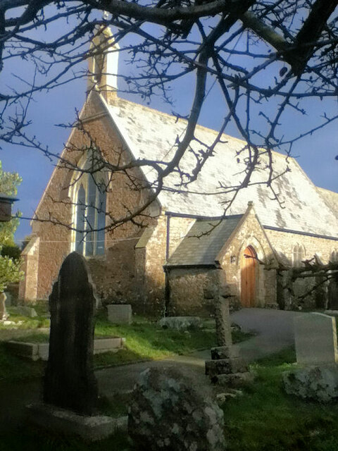
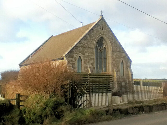
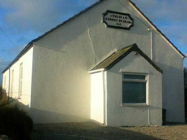
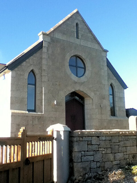
Bolenowe Carn Moor Images

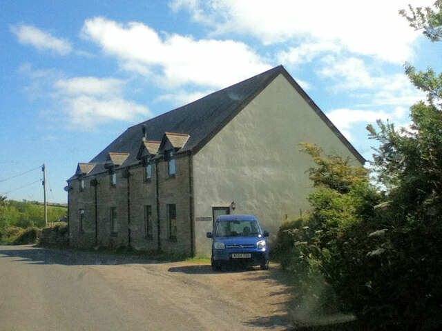
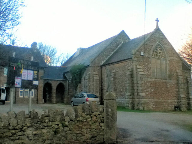
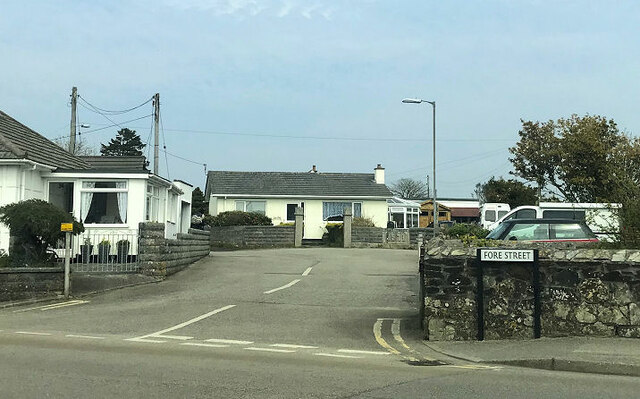
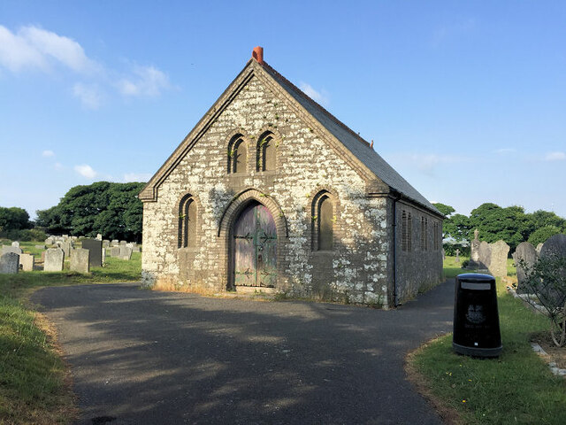
Images are sourced within 2km of 50.192004/-5.2642322 or Grid Reference SW6737. Thanks to Geograph Open Source API. All images are credited.

Wheal Grenville Fortesque's shaft and whim The impressive engine house at Fortesque's shaft with the drawing whim beyond. See
<a title="https://www.geograph.org.uk/photo/4131867" href="https://www.geograph.org.uk/photo/4131867">Link</a> for more details.
Wheal Grenville Fortesque's shaft and whim
The impressive engine house at Fortesque's shaft with the drawing whim beyond. See Link for more details.
Former Free United Church
Former Wesleyan Methodist Chapel
St Andrew's Church
St Andrew's Church
St Andrew's Church
St Andrew's Church
Former Wesleyan Methodist Chapel
Former Wesleyan Sunday School
Plantation Chapel
Plantation Chapel
Former chapel
Former chapel
Former Mission Church with adjoining Sunday School at left
Troon Methodist Church
Chapel Square leading to Chapel Farm
Troon Cemetery
Troon Cemetery
Terraced houses
Terraced houses
Troon cricket ground on match day
Old Boundary Marker on Pendarves Street, Beacon Boundary Marker on the grass verge outside No.62 on the west side of Pendarves Street. Camborne parish. Inscribed N T and S T. The function of this stone is unclear as neither a boundary nor the stone are marked on any OS maps.

Milestone Society National ID: CW_CAMB03bm
Old Boundary Marker on Pendarves Street, Beacon
Boundary Marker on the grass verge outside No.62 on the west side of Pendarves Street. Camborne parish. Inscribed N T and S T. The function of this stone is unclear as neither a boundary nor the stone are marked on any OS maps. Milestone Society National ID: CW_CAMB03bm
King Edward Mine King Edward mine (just outside of Troon) has recently been turned into a visitor centre all about the mine and Cornish mining.
King Edward Mine
King Edward mine (just outside of Troon) has recently been turned into a visitor centre all about the mine and Cornish mining.
Grenville United Mines Grenville United mines (just outside of Troon) are now just two engine houses. Fortescue's engine house is on the left and Fortescue's pumping house is on the right (both part of Fortescue's shaft).
Grenville United Mines
Grenville United mines (just outside of Troon) are now just two engine houses. Fortescue's engine house is on the left and Fortescue's pumping house is on the right (both part of Fortescue's shaft).
Show me another place!

Bolenowe Carn Moor is located at Grid Ref: SW6737 (Lat: 50.192004, Lng: -5.2642322)

Unitary Authority: Cornwall

Police Authority: Devon and Cornwall

What 3 Words

///hardback.souk.armed. Near Four Lanes, Cornwall

Related Wikis

Bolenowe

Bolenowe (Cornish: Boslenow, meaning dwelling of strip-fields) is a village in west Cornwall, England, United Kingdom. It is approximately one-and-a-half...

Croft Mitchell

Croft Mitchell is a hamlet in the parish of Camborne, Cornwall, England. == References ==

Boswyn

Boswyn is a hamlet in west Cornwall, England, United Kingdom, approximately one mile south of Troon. It is in the civil parish of Camborne. == References ==

Nine Maidens Downs

Nine Maidens Downs is a moorland southwest of Four Lanes in Cornwall, England, UK. == Stone circles == The name Nine Maidens comes from two Early Bronze...

Nearby Amenities

Located within 500m of 50.192004,-5.2642322
Bolenowe
Name Kw: Boslenow
Place: hamlet
Wikidata: Q4939174
Lat/Long: 50.195688/-5.2620632
Barrier: entrance
Lat/Long: 50.1908676/-5.2689686
Barrier: stile
Material: granite
Lat/Long: 50.1933247/-5.2614523
Barrier: stile
Foot: yes
Material: granite
Stile: stepover
Lat/Long: 50.1909122/-5.2605274
Barrier: stile
Lat/Long: 50.1935772/-5.2641825
Barrier: stile
Description: Metal vehicle gate which can't be moved, there is a cross member missing which you can pass through
Material: metal
Stile: squeezer
Lat/Long: 50.1916051/-5.2603818
Barrier: stile
Lat/Long: 50.1909604/-5.268995
Power: pole
Source: approximate
Lat/Long: 50.1916278/-5.2704092
Power: pole
Source: approximate
Lat/Long: 50.1924439/-5.2703858
Power: pole
Source: approximate
Lat/Long: 50.1932338/-5.270375
Power: pole
Source: approximate
Lat/Long: 50.1940546/-5.2703777
Barrier: stile
Lat/Long: 50.1954649/-5.2682575
Power: pole
Lat/Long: 50.1930512/-5.2674843
Power: pole
Lat/Long: 50.193519/-5.266726
Power: pole
Lat/Long: 50.1887319/-5.2687946
Power: pole
Lat/Long: 50.1895317/-5.2692506
Information: board
Tourism: information
Lat/Long: 50.1909764/-5.2654301
Information: board
Tourism: information
Lat/Long: 50.1903485/-5.2644762
Barrier: entrance
Lat/Long: 50.1905805/-5.2678572
Barrier: stile
Lat/Long: 50.1903131/-5.2706508
Barrier: stile
Lat/Long: 50.1904708/-5.2658435
Barrier: stile
Lat/Long: 50.1895527/-5.2684781
Barrier: block
Lat/Long: 50.1923898/-5.2677284
Barrier: entrance
Entrance: yes
Lat/Long: 50.193128/-5.2664302
Barrier: stile
Lat/Long: 50.1918478/-5.2667408
Barrier: stile
Lat/Long: 50.1921417/-5.2674299
Barrier: stile
Lat/Long: 50.1909858/-5.2654506
Information: board
Tourism: information
Lat/Long: 50.1935652/-5.2642053
Barrier: stile
Lat/Long: 50.1940591/-5.2633718
Barrier: stile
Lat/Long: 50.1947983/-5.2639451
Information: guidepost
Tourism: information
Lat/Long: 50.1952821/-5.2629246
Power: pole
Lat/Long: 50.1953165/-5.262771
Power: pole
Lat/Long: 50.195307/-5.2628106
Information: guidepost
Tourism: information
Lat/Long: 50.1944302/-5.2656711
Barrier: stile
Lat/Long: 50.1944396/-5.2656652
Generator Method: photovoltaic
Generator Output Electricity: small_installation
Generator Source: solar
Generator Type: solar_photovoltaic_panel
Location: roof
Power: generator
Source: bing
Lat/Long: 50.1911704/-5.269897
Generator Method: photovoltaic
Generator Output Electricity: small_installation
Generator Source: solar
Generator Type: solar_photovoltaic_panel
Location: roof
Power: generator
Source: bing
Lat/Long: 50.1888547/-5.26306
Generator Method: photovoltaic
Generator Output Electricity: small_installation
Generator Source: solar
Generator Type: solar_photovoltaic_panel
Location: roof
Power: generator
Source: bing
Lat/Long: 50.1931598/-5.2677941
Generator Method: photovoltaic
Generator Output Electricity: small_installation
Generator Source: solar
Generator Type: solar_photovoltaic_panel
Location: roof
Power: generator
Source: bing
Lat/Long: 50.1953774/-5.2614427
Generator Method: photovoltaic
Generator Output Electricity: small_installation
Generator Source: solar
Generator Type: solar_photovoltaic_panel
Location: roof
Power: generator
Source: bing
Lat/Long: 50.194955/-5.262478
Power: pole
Source: bing;wpd_open_data
Lat/Long: 50.1930803/-5.2597891
Power: pole
Source: bing;wpd_open_data
Lat/Long: 50.1924351/-5.2607052
Power: pole
Source: bing;wpd_open_data
Lat/Long: 50.1927363/-5.2602707
Power: pole
Source: bing;wpd_open_data
Lat/Long: 50.1930774/-5.2579945
Power: pole
Source: bing;wpd_open_data
Lat/Long: 50.1943452/-5.2605983
Power: pole
Source: bing;wpd_open_data
Lat/Long: 50.193973/-5.2598255
Power: pole
Source: bing;wpd_open_data
Lat/Long: 50.193603/-5.2590573
Power: pole
Source: bing;wpd_open_data
Lat/Long: 50.1948546/-5.2616562
Power: pole
Source: bing;wpd_open_data
Lat/Long: 50.1953512/-5.2626653
Power: pole
Source: bing;wpd_open_data
Lat/Long: 50.1950779/-5.2642578
Power: pole
Source: bing;wpd_open_data
Lat/Long: 50.1940684/-5.2658545
Power: pole
Source: bing;wpd_open_data
Lat/Long: 50.1925879/-5.2686705
Power: pole
Source: bing;wpd_open_data
Lat/Long: 50.1922394/-5.2695604
Power: pole
Source: bing;wpd_open_data
Lat/Long: 50.1906402/-5.2698621
Power: pole
Source: bing;wpd_open_data
Lat/Long: 50.1914473/-5.2703221
Post Box
Brand: Royal Mail
Brand Wikidata: Q638098
Collection Times: Mo-Fr 16:30; Sa 11:00; Su off
Drive Through: no
Operator: Royal Mail
Operator Wikidata: Q638098
Post Box Mounting: wooden_pole
Post Box Type: lamp
Ref: TR14 127
Royal Cypher: EIIR
Royal Cypher Wikidata: Q33102113
Source: survey;streetlevel imagery;aerial imagery
Lat/Long: 50.1956302/-5.2610375
Barrier: kissing_gate
Foot: yes
Material: wood
Lat/Long: 50.1896584/-5.2591642
Note: Have to duck under electic fence
Lat/Long: 50.1916009/-5.2604071
Barrier: stile
Lat/Long: 50.1926358/-5.259118
Barrier: yes
Description: vehicle blocking, been there a while
Survey Date: 2023-03-14
Lat/Long: 50.1916632/-5.2590019
Barrier: stile
Material: wood
Lat/Long: 50.1926707/-5.2590819
Barrier: stile
Material: granite
Stile: stepover
Lat/Long: 50.1935702/-5.2604918
The data included in this document is from www.openstreetmap.org. The data is made available under ODbL.

Have you been to Bolenowe Carn Moor?

Leave your review of Bolenowe Carn Moor below (or comments, questions and feedback).