Bolehill
Settlement in Derbyshire North East Derbyshire
England
Bolehill

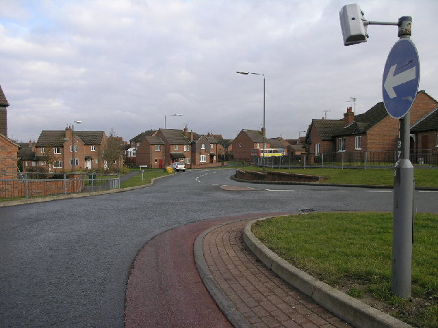
Bolehill is a small village located in the county of Derbyshire, England. It is situated in the Amber Valley district, approximately 5 miles north of the town of Belper. Nestled in the beautiful Derbyshire countryside, Bolehill is renowned for its picturesque surroundings and charming village atmosphere.
The village is primarily residential, with a population of around 500 residents. The architecture in Bolehill predominantly consists of traditional stone cottages, giving the area a rustic and timeless appeal. The village is surrounded by rolling hills and lush green fields, providing residents with stunning views and a tranquil environment.
Bolehill is well-connected to nearby towns and cities, with good transport links including regular bus services. The village is also conveniently located near major road networks, making it easily accessible for commuters and visitors alike.
Despite its small size, Bolehill boasts a close-knit community spirit and a range of amenities. These include a local pub, a primary school, a village hall, and a small convenience store. The village benefits from being in close proximity to the larger town of Belper, which offers a wider range of facilities such as supermarkets, shops, and leisure activities.
For those seeking outdoor pursuits, Bolehill is surrounded by stunning countryside, making it an ideal location for hiking, cycling, and exploring nature. The nearby Peak District National Park is also easily accessible, offering further opportunities for outdoor adventures.
Overall, Bolehill is a charming village with a strong sense of community, idyllic scenery, and convenient access to both rural and urban amenities.
If you have any feedback on the listing, please let us know in the comments section below.
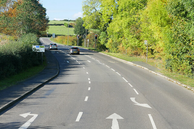
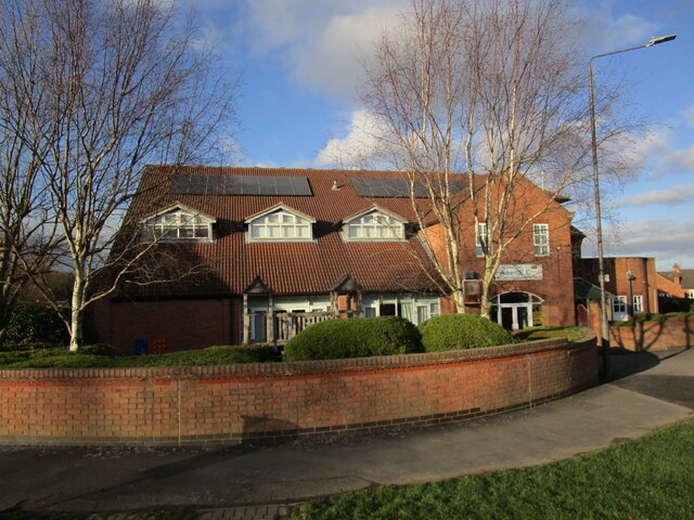
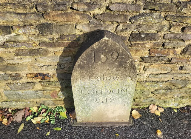
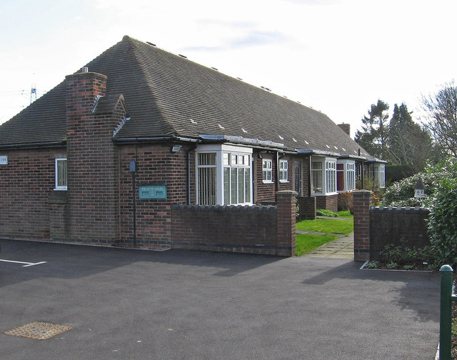
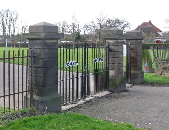
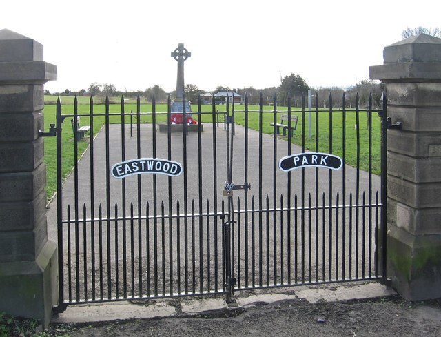
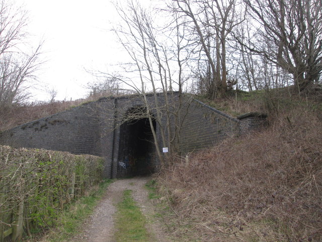
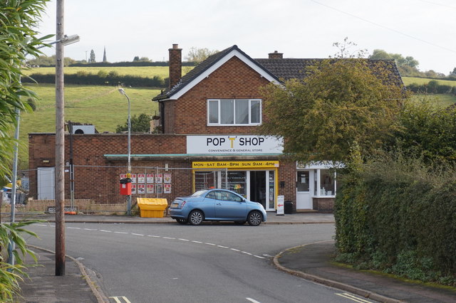
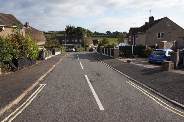
Bolehill Images
Images are sourced within 2km of 53.227644/-1.376063 or Grid Reference SK4170. Thanks to Geograph Open Source API. All images are credited.


Bolehill is located at Grid Ref: SK4170 (Lat: 53.227644, Lng: -1.376063)
Administrative County: Derbyshire
District: North East Derbyshire
Police Authority: Derbyshire
What 3 Words
///gossip.fell.fortunate. Near Chesterfield, Derbyshire
Nearby Locations
Related Wikis

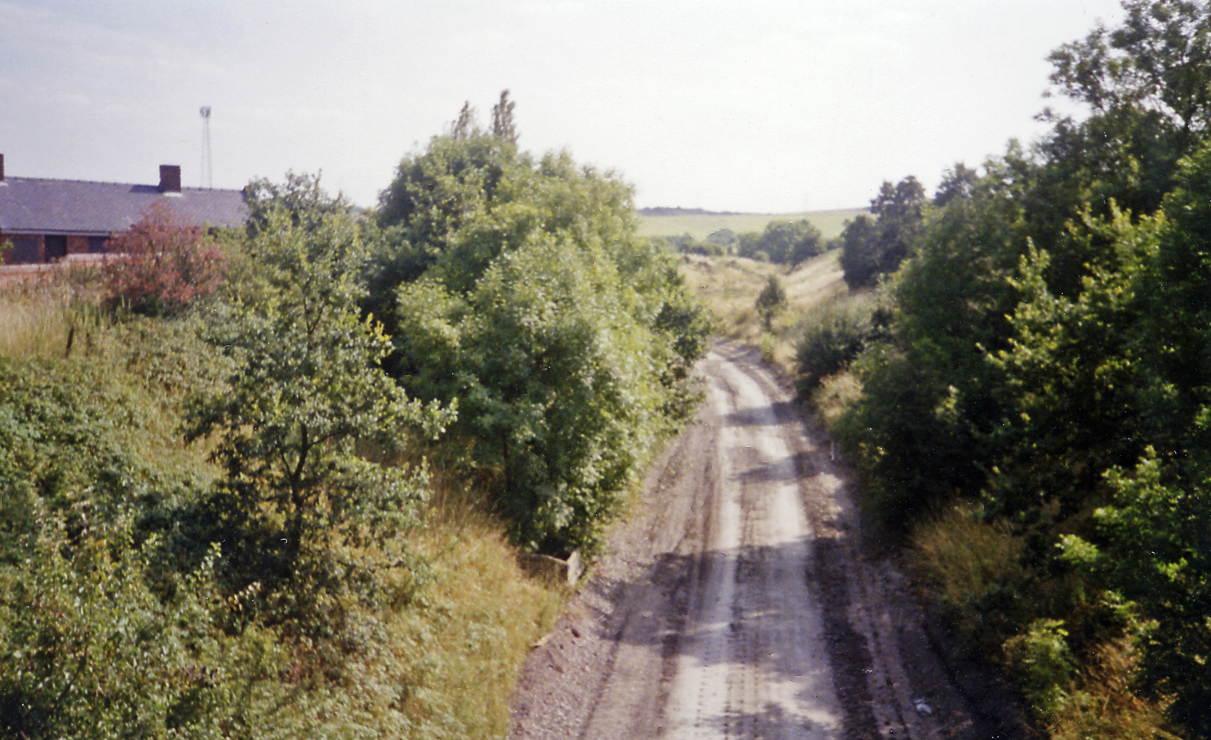
Duckmanton Tunnel
Duckmanton Tunnel is a former 501-yard (458-metre) long twin-track railway tunnel between Chesterfield and Arkwright Town in Derbyshire, England. ��2...

Calow
Calow is a village and civil parish in the county of Derbyshire in England. The population of the village at the 2011 census was 2,494. Calow is in North...
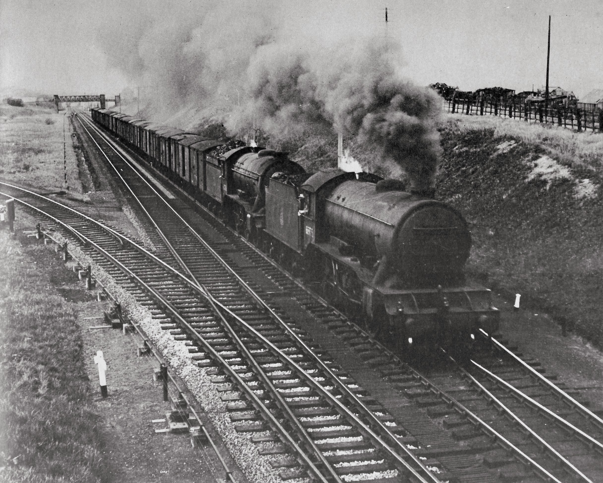
Arkwright Town railway station
Arkwright Town railway station was in Arkwright Town, Derbyshire, England. == History == The line and station were opened by the LD&ECR in March 1897....
Duckmanton South Junction
Duckmanton South Junction is a former railway junction near Arkwright Town in Derbyshire, England. == Context == Duckmanton South Junction was one of four...
Duckmanton Junction
Duckmanton Junction is a former railway junction near Arkwright Town in Derbyshire, England. == Context == Duckmanton Junction (sometimes referred to as...
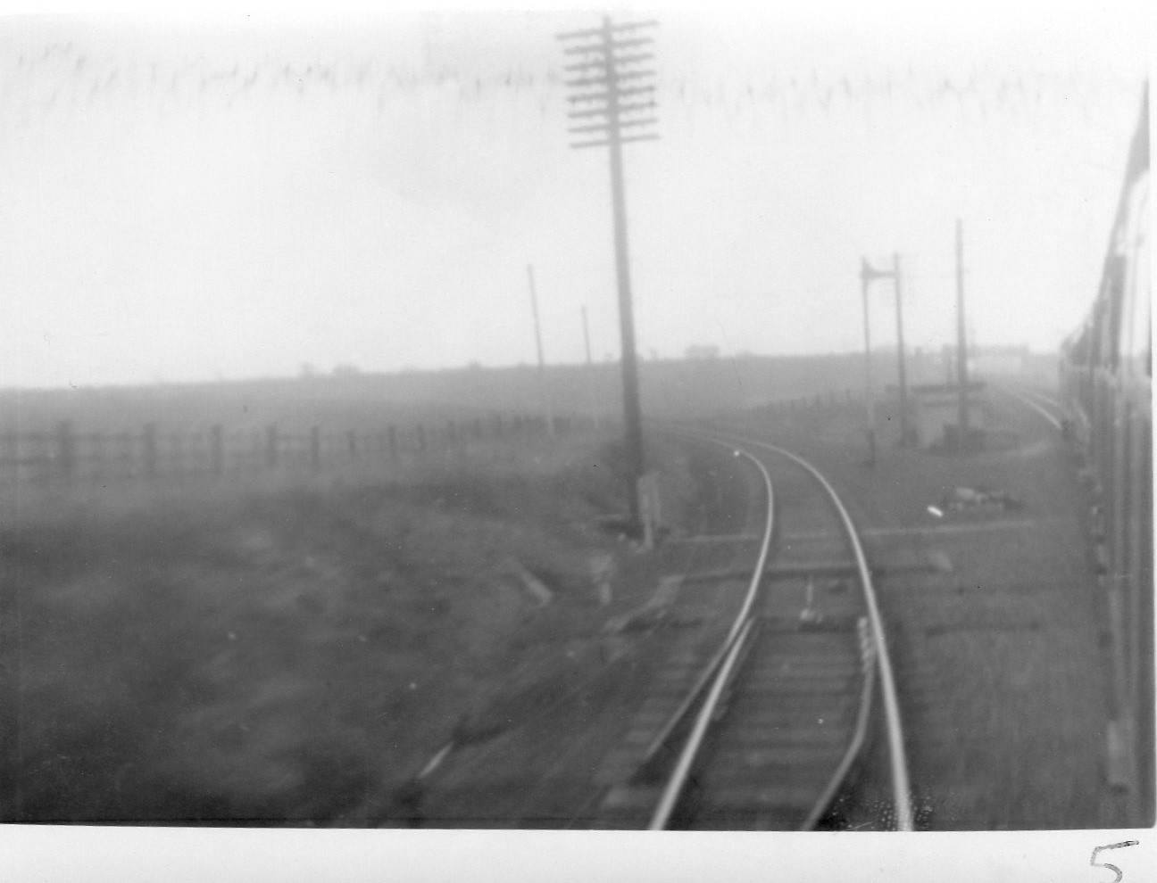
Duckmanton North Junction
Duckmanton North Junction is a former railway junction near Arkwright Town in Derbyshire, England. == Context == Duckmanton North Junction was one of four...

Duckmanton East Junction
Duckmanton East Junction is a former railway junction near Arkwright Town in Derbyshire, England. == Context == Duckmanton East Junction was one of four...
Arkwright Town
Arkwright Town, usually referred to as Arkwright, is a village in Sutton cum Duckmanton, North East Derbyshire, England that is notable for being moved...
Nearby Amenities
Located within 500m of 53.227644,-1.376063Have you been to Bolehill?
Leave your review of Bolehill below (or comments, questions and feedback).