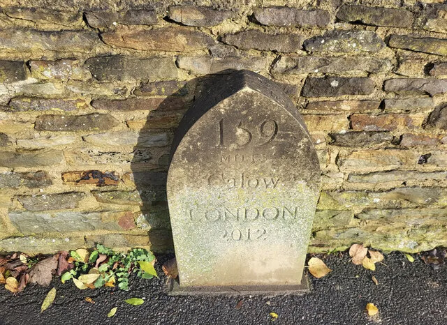
Calow
Civil Parish in Derbyshire North East Derbyshire
England
Calow

Calow is a civil parish located in the county of Derbyshire, England. It is situated approximately three miles south of the town of Chesterfield. The parish covers an area of around 1,500 acres and is predominantly rural in nature, with a few scattered residential areas.
The village of Calow itself is small and charming, with a population of around 1,500 people. The area has a rich history that dates back to the medieval period, and there are several historic buildings and landmarks to explore. One notable example is the St. Peter and St. Paul Church, which dates back to the 12th century and features stunning architecture.
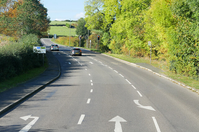
Calow is surrounded by beautiful countryside, offering residents and visitors ample opportunities for outdoor activities such as walking, cycling, and horse riding. The area is also home to several nature reserves and parks, providing a haven for wildlife and a peaceful retreat for those seeking tranquility.
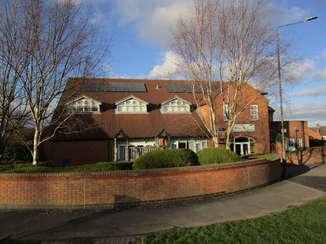
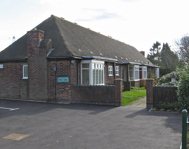
In terms of amenities, Calow has a primary school, a community center, a small number of shops, and a pub. For more extensive shopping and entertainment options, residents can easily access Chesterfield, which is just a short drive away.
Overall, Calow is a picturesque and peaceful civil parish that offers a close-knit community, a rich history, and plenty of natural beauty. It is an ideal place for those seeking a quiet and rural lifestyle while still being within reach of larger towns and cities.
If you have any feedback on the listing, please let us know in the comments section below.
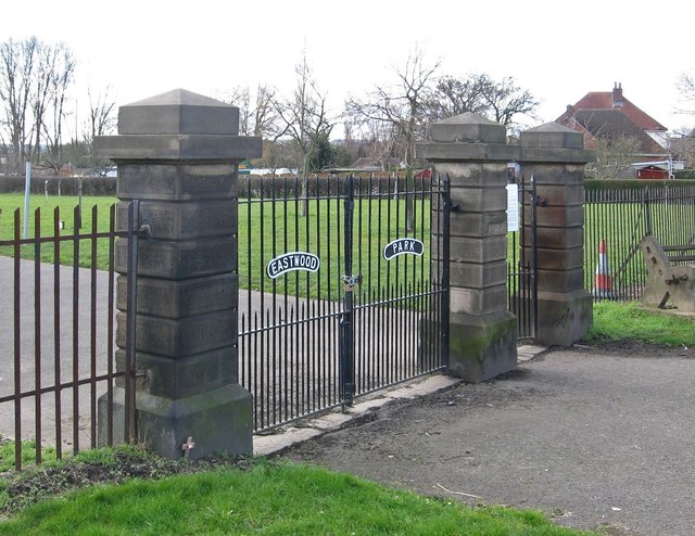
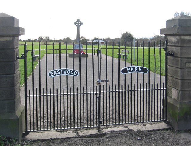
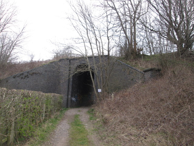
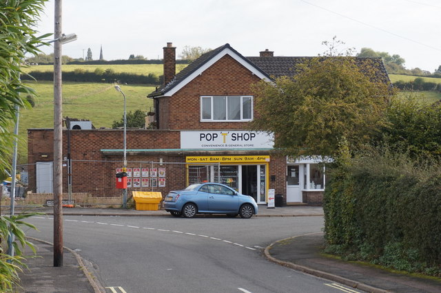
Calow Images
Images are sourced within 2km of 53.227068/-1.382842 or Grid Reference SK4170. Thanks to Geograph Open Source API. All images are credited.


Calow is located at Grid Ref: SK4170 (Lat: 53.227068, Lng: -1.382842)
Administrative County: Derbyshire
District: North East Derbyshire
Police Authority: Derbyshire
What 3 Words
///mess.lodge.butter. Near Chesterfield, Derbyshire
Nearby Locations
Related Wikis

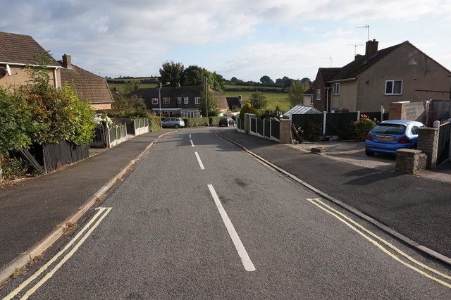
Calow
Calow is a village and civil parish in the county of Derbyshire in England. The population of the village at the 2011 census was 2,494. Calow is in North...

Duckmanton Tunnel
Duckmanton Tunnel is a former 501-yard (458-metre) long twin-track railway tunnel between Chesterfield and Arkwright Town in Derbyshire, England. ��2...
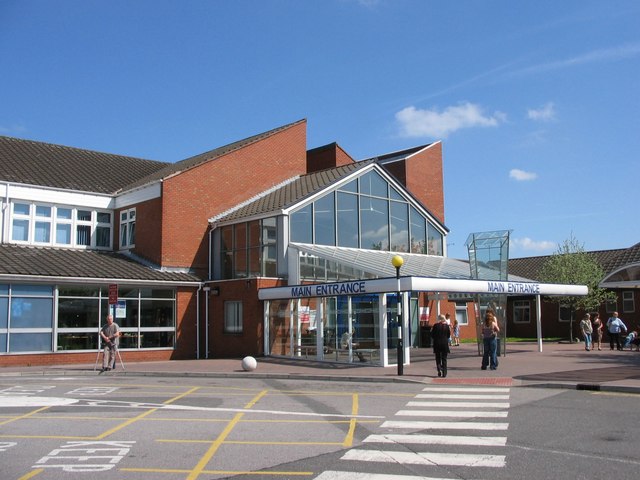
Chesterfield Royal Hospital
Chesterfield Royal Hospital is an acute general hospital in Chesterfield, Derbyshire. It is managed by the Chesterfield Royal Hospital NHS Foundation Trust...

Chesterfield Royal Hospital NHS Foundation Trust
Chesterfield Royal Hospital NHS Foundation Trust became a NHS Foundation Trust in January 2005, providing health services at the Chesterfield Royal Hospital...
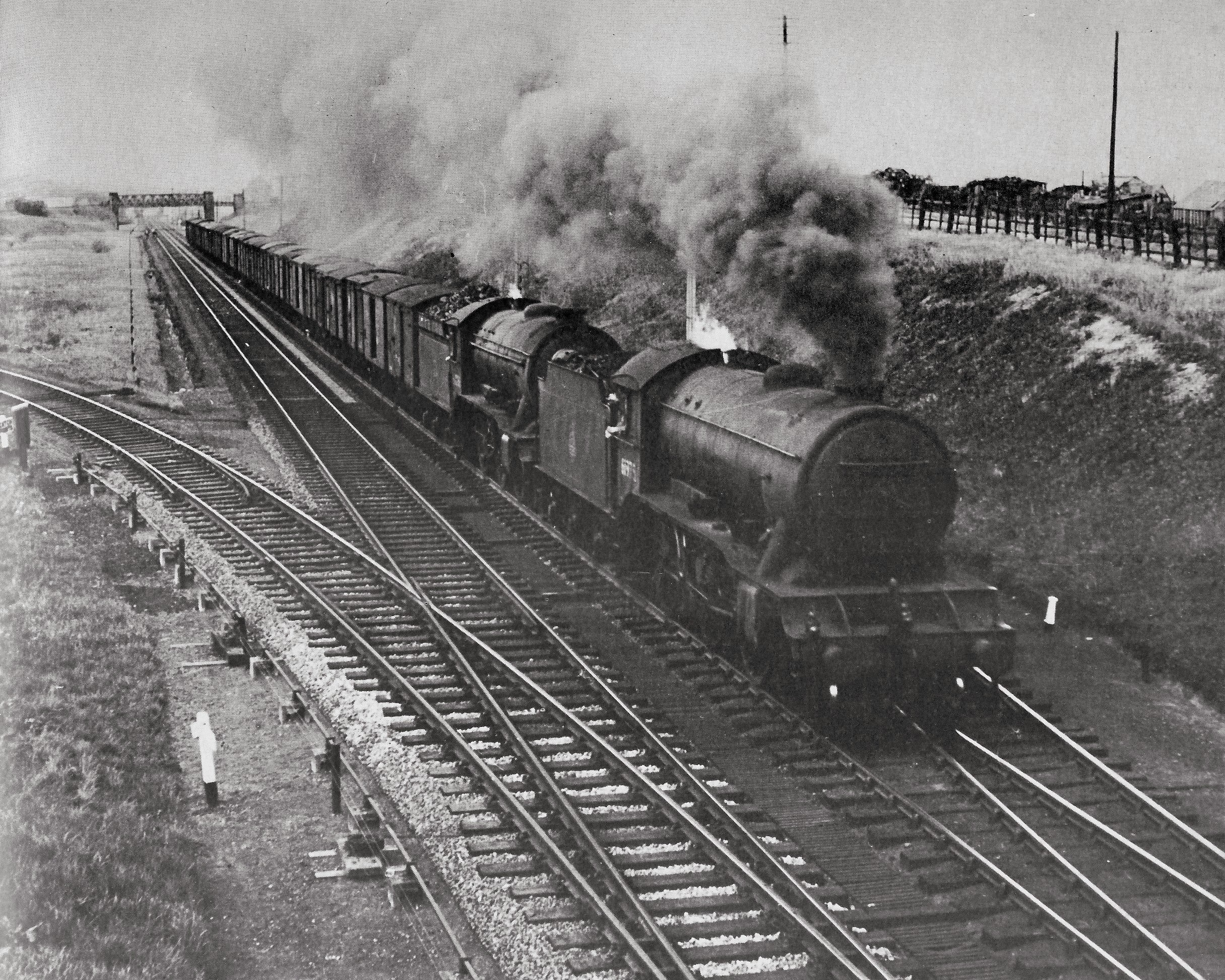
Duckmanton Junction
Duckmanton Junction is a former railway junction near Arkwright Town in Derbyshire, England. == Context == Duckmanton Junction (sometimes referred to as...
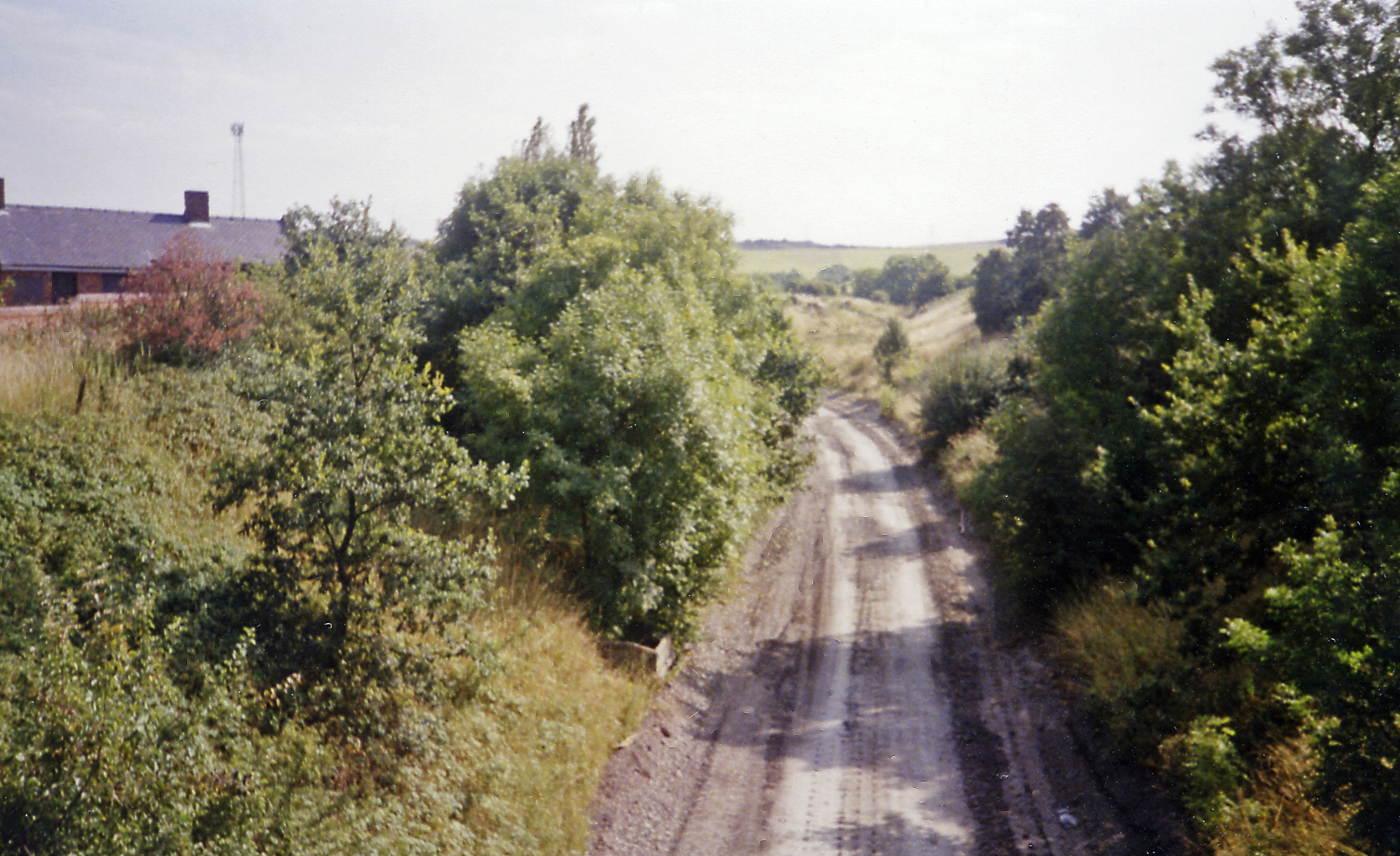
Arkwright Town railway station
Arkwright Town railway station was in Arkwright Town, Derbyshire, England. == History == The line and station were opened by the LD&ECR in March 1897....
Duckmanton South Junction
Duckmanton South Junction is a former railway junction near Arkwright Town in Derbyshire, England. == Context == Duckmanton South Junction was one of four...

Hasland
Hasland is a suburb of Chesterfield in the Borough of Chesterfield in Derbyshire, England. Hasland is located south of Spital, east of Birdholme and north...
Nearby Amenities
Located within 500m of 53.227068,-1.382842Have you been to Calow?
Leave your review of Calow below (or comments, questions and feedback).